VARALLO, Fraz. Piane di Cervarolo – Massa del Turlo
Route / Trekking
Hikes
trail n. 620 VARALLO, Fraz. Piane di Cervarolo – Massa del Turlo
Difficulty: medium
average duration: 2-3 hours
departure altitude: Alpe Piane 1222 mt
arrival altitude: 1959 mt
altitude difference: 737 mt
Route description
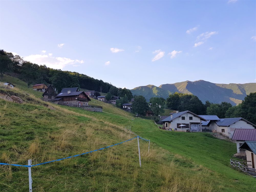
The itinerary begins in the hamlet of Piane di Cervarolo, where at the end of the road stands Alpe Piane, 1222m. From this beautiful plateau, characterized by peculiar houses and huts, a pretty little church and the Camosci Refuge, you cross the vast alpine pasture following trail no. 620. You cross a beech forest, reaching Sella Vaneccio, 1297m. Continue along the ridge as the forested landscape gradually becomes less dense and you reach Bocchetta Schillottàa, 1414m.
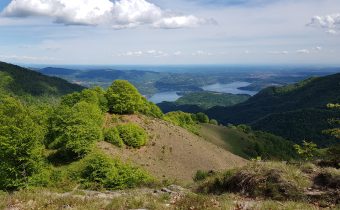
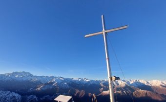
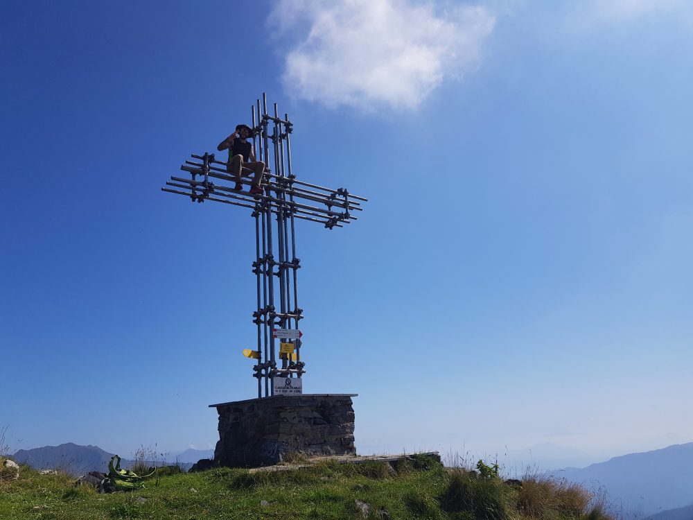
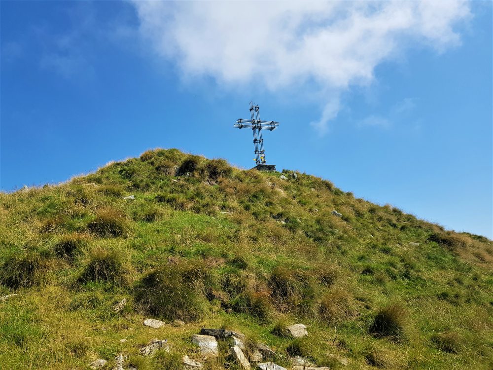
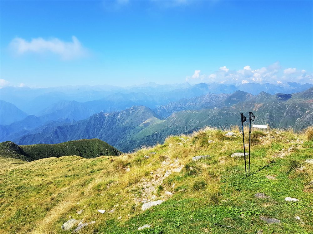
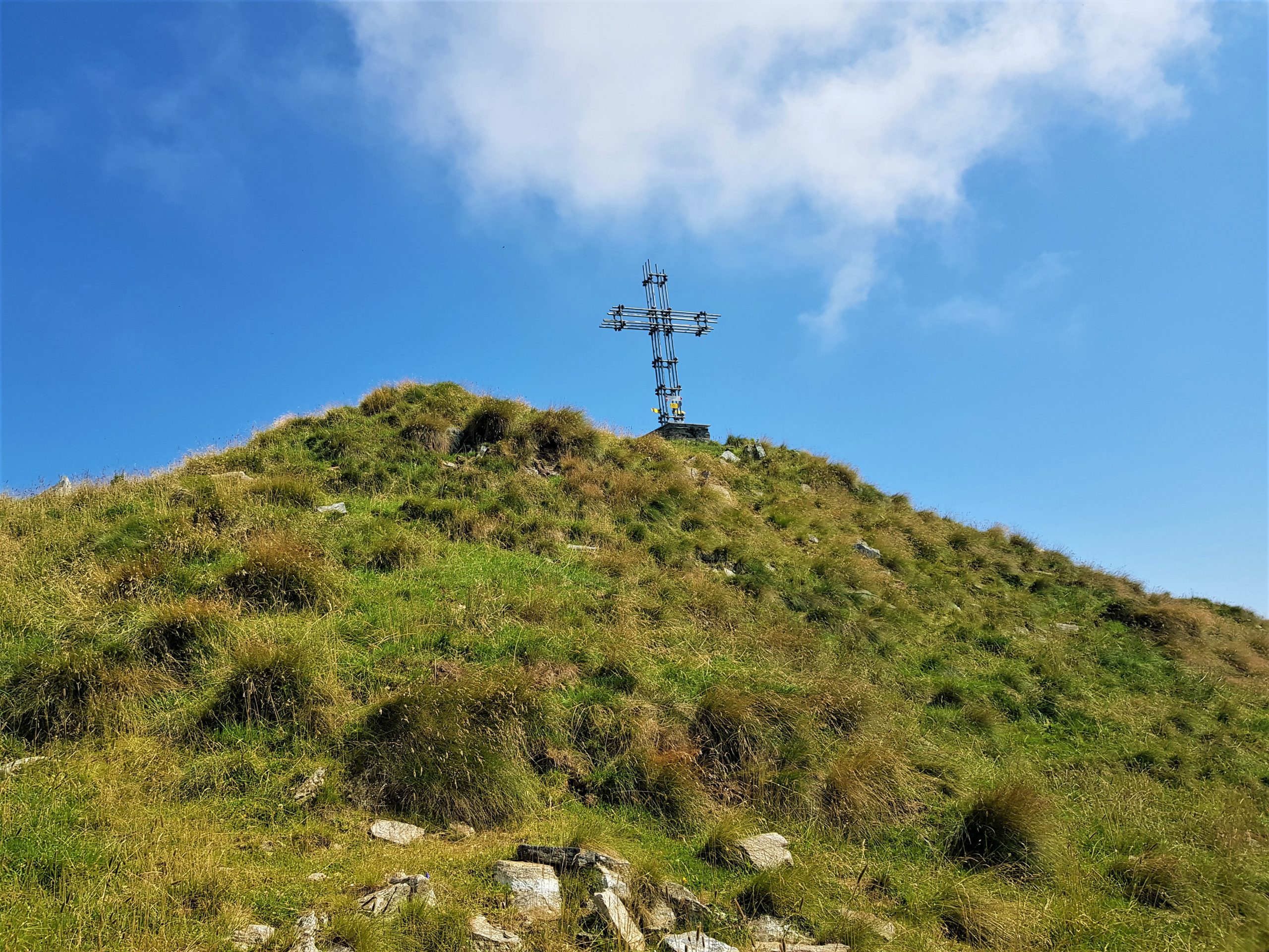
Cutting diagonally across a section of rocky ridge on the west side and regaining the ridge, you reach Cima di Ventolaro 1620m. You then proceed along the ridge passing first an anticima, then Bocchetta del Sonato, 1900m, and reach the summit of Massa del Turlo, 1959m, on which a tall iron cross is erected. From the summit there is an impressive view of part of the alpine circle, the lakes of Lombardy and several villages of Val Strona and Valsesia.
Other routes
recommended
Valsesia has a lot to offer to hiking enthusiasts
Suggestive trails surrounded by nature that offer breathtaking views: be surprised by the beautiful mountains of Valsesia!