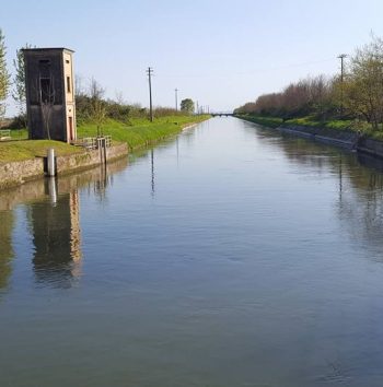
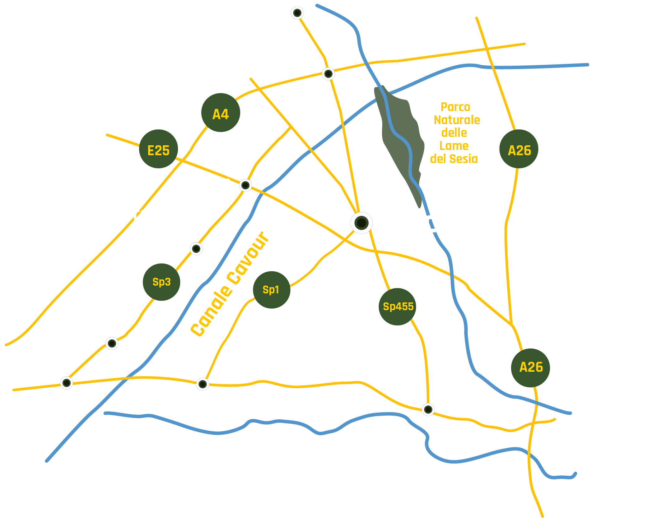
Canale Cavour
#losapevateche
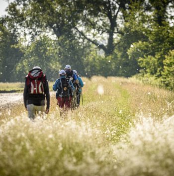
Exploring the Canale Cavour
Itinerary The lands of rice
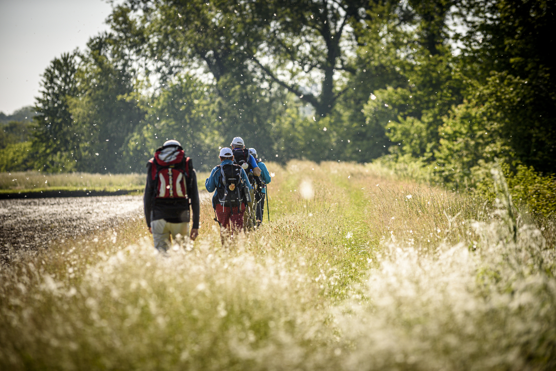
aLONG THE WATERS OF THE vercellI AREA
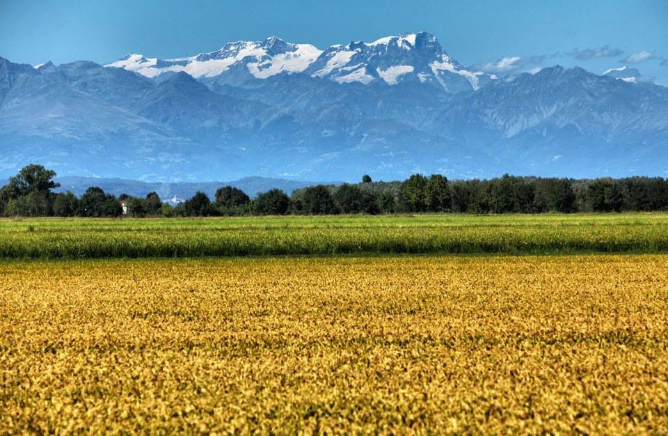
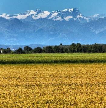
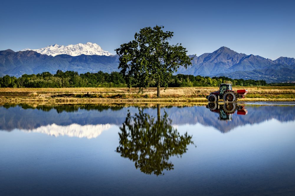
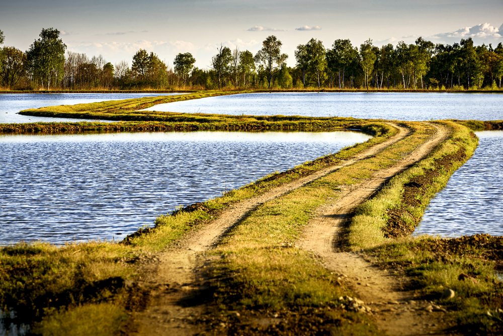
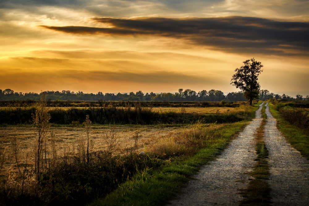
The rice-growing landscape of Vercelli is marked by a network of canals and extraordinary hydraulic engineering works that irrigate the rice paddies: this complex water management is the basis of rice cultivation. With this itinerary that crosses the entire Vercelli plain, from the Dora Baltea River to the Sesia River, you will discover the Canale Cavour and the majestic hydraulic works of the Vercelli irrigation system.
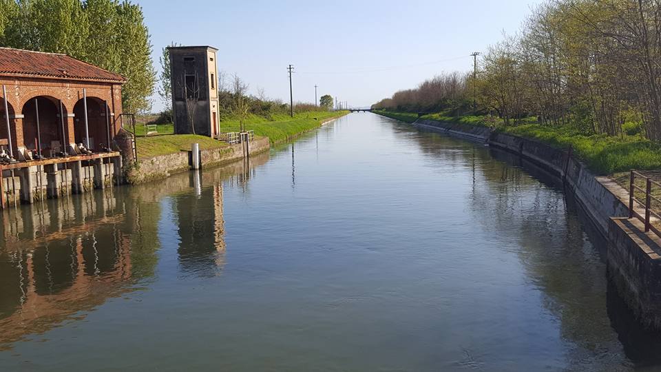
1 The Canale Cavour and the Vercelli irrigation network
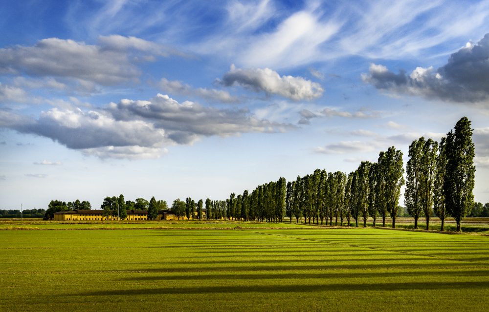
Almost 85 km long, the Canale Cavour is a fantastic example of hydraulic engineering work that connect the Po River in Chivasso to the Ticino River in Galliate. Strongly wanted by Camillo Benso Conte di Cavour, this colossal work represents, together with other canals such as the Naviglio d’Ivrea and the De Pretis Canal, the backbone of an extensive and efficient irrigation network that crosses the entire Vercelli plain, and thanks to which it has been possible, over the centuries, to grow rice.
2 sALUGGIA
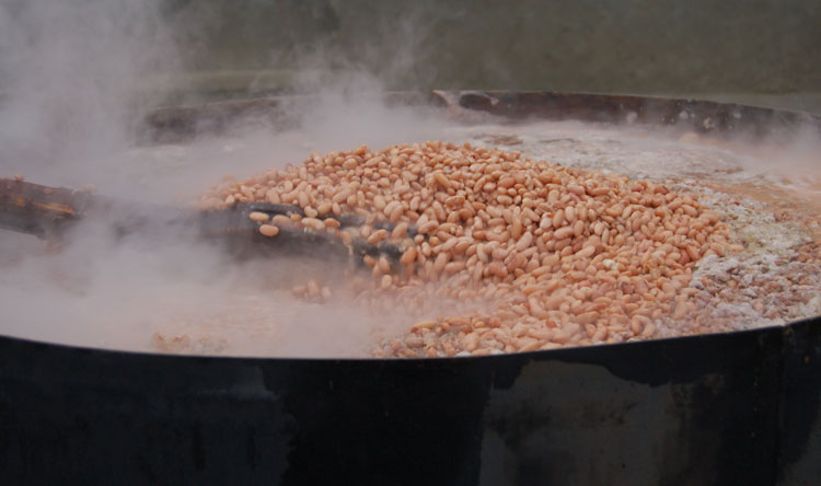
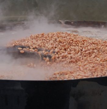
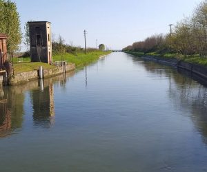
The small town of Saluggia, which rises on a steep embankment on the left of the Dora Baltea, is known above all for its beans, much sought after for the traditional Vercelli “panissa” dish. Near the village you can admire the intake of the Canale Farini, a little jewel of engineering and hydraulic architecture of the 19th century.
3 LIVORNO FERRARIS
Livorno Ferraris is known as the birthplace of Galileo Ferraris, an illustrious physicist and engineer of the 19th century. Do not miss, in the charming historical center of the village, the Ferraris Civic Museum, dedicated to the scientist and his brother Adamo, Garibaldi’s personal doctor. Near the village you can see the Canale De Pretis, an ancient canal of the 18th century.p
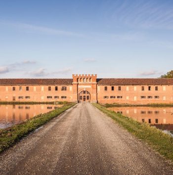
4 Tenuta Colombara – Conservatorio della risicultura
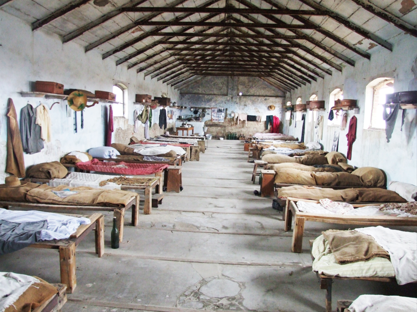
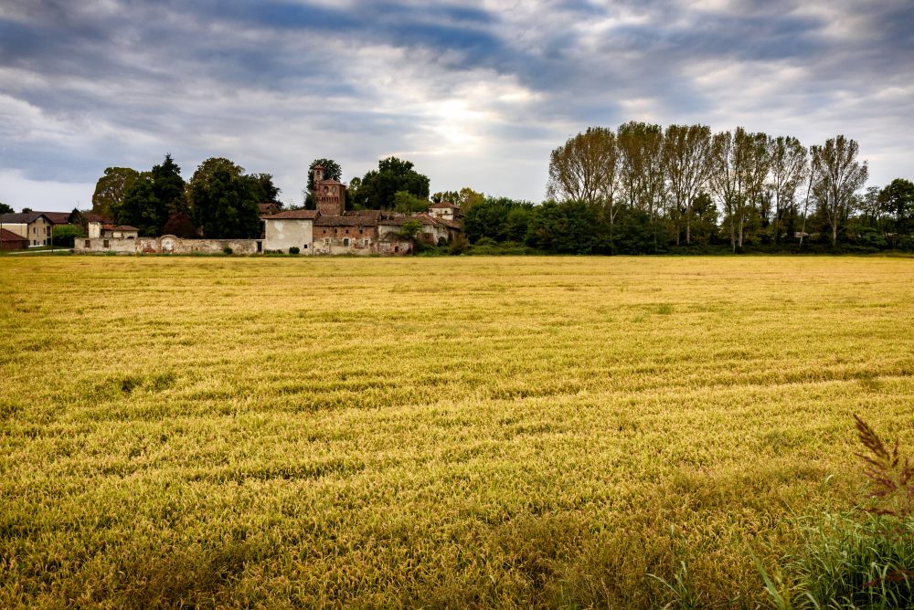
In the middle of Vercelli’s rice fields, the fascinating Tenuta Colombara hosts the Conservatory of Rice Cultivation. In the estate, a beautiful example of a farmhouse with an inner courtyard, there are areas in which some of the representative settings of the history and life of the rice-growing have been reconstructed: artisan workshops, houses, the school and the beautiful dormitory of the rice-weeders. This is indeed worth a visit.
5 Santhià
The city of Santhià, where the oldest historical carnival of Piedmont takes place, is crossed by the Via Francigena, of which it is the 44th stop. Not far from the city center, along the Naviglio d’Ivrea, is located the Experimental Hydrometric Station of Santhià, a beautiful building of the 19th century, one-of-a-kind and built to measure the flow and distribution of water of the complex Vercelli irrigation network.
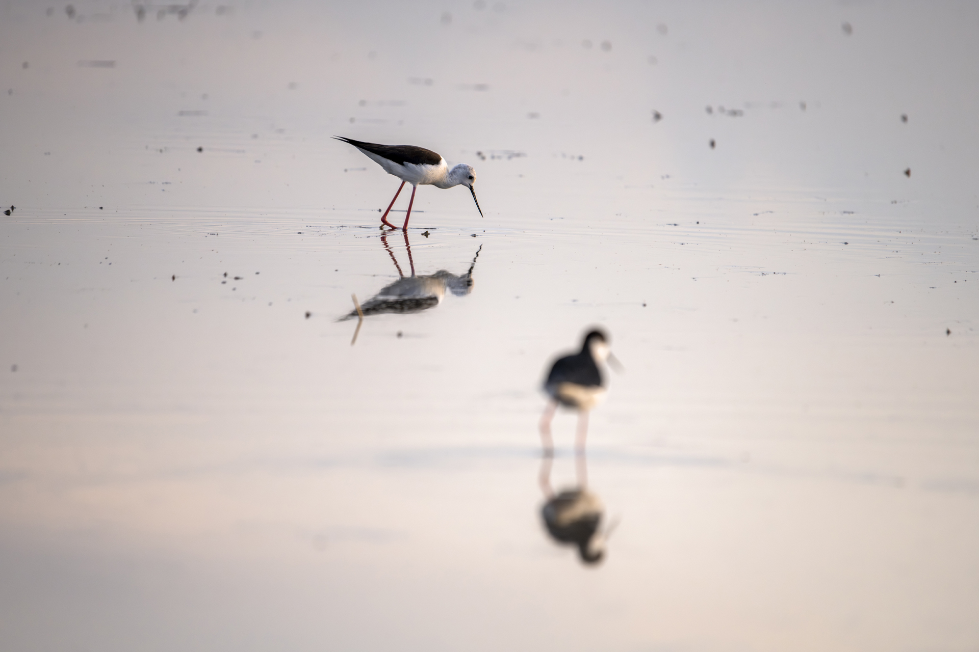
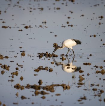
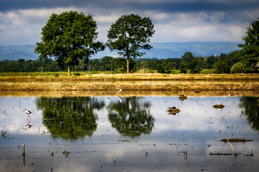
6 LAME DEL SESIA nature park
The nature park, located along the right bank of the Sesia River, is a protected oasis of 900 hectares water pools, water sheets, and woods and natural habitat of rich fauna and lush vegetation. Several routes start from Albano Vercellese that will allow you to discover one of the most important ornithological oasis in Italy and Europe.
Il canale Cavour e la rete irrigua Vercellese
Saluggia
Livorno Ferraris
Tenuta Colombara – Conservatorio della Risicultura
Santhià
Parco naturale delle Lame del Sesia
Il canale Cavour e la rete irrigua Vercellese
Saluggia
Livorno Ferraris
Tenuta Colombara – Conservatorio della Risicultura
Santhià
Parco naturale delle Lame del Sesia
How to get to the canale Cavour
From Vercelli: take the SP1 “Strada delle Grange” towards Crescentino. From Crescentino take the SP37 towards Saluggia.
From Milano and Torino: take the highway E25 and exit at the tollbooth of Vercelli Ovest. take the SP1 “Strada delle Grange” towards Crescentino. From Crescentino take the SP37 towards Saluggia.
BY TRAIN
Saluggia, Livorno Ferraris e Santhià are located on the Milan-Turin railway line.
Deepening
Canale Cavour
The Canale Cavour is to be considered an extraordinary work not only on an engineering level, given its size and water flow, but also on an architectural level, as along its 85 km route there are 101 bridges, 210 siphons and 62 canal-bridges.
The most striking points to observe are those where the Canale Cavour crosses a watercourse (river or stream) by means of a canal bridge or siphon.
Among the most spectacular canal bridges, i.e. those in which the canal crosses the river/stream by means of a bridge, are over the Dora Baltea near Saluggia and over the Cervo stream near Formigliana.
Equally spectacular are the siphon tombs, i.e. points where the canal passes under a river/stream, such as the siphon tomb on the Elvo stream near Vettignè and the one on the Sesia river near Greggio.
In Chivasso is the monumental Canale Cavour Intake Building. The Intake Building is 40 metres long and has two floors with 21 lights consisting of three orders of sluice gates.
Plan your holiday
Where to eat, where to sleep, how to get around: plan your trip to Valsesia and Vercelli!