Via Francigena
nature, history and emotions ,
along the way
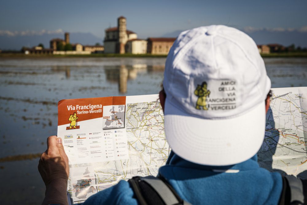
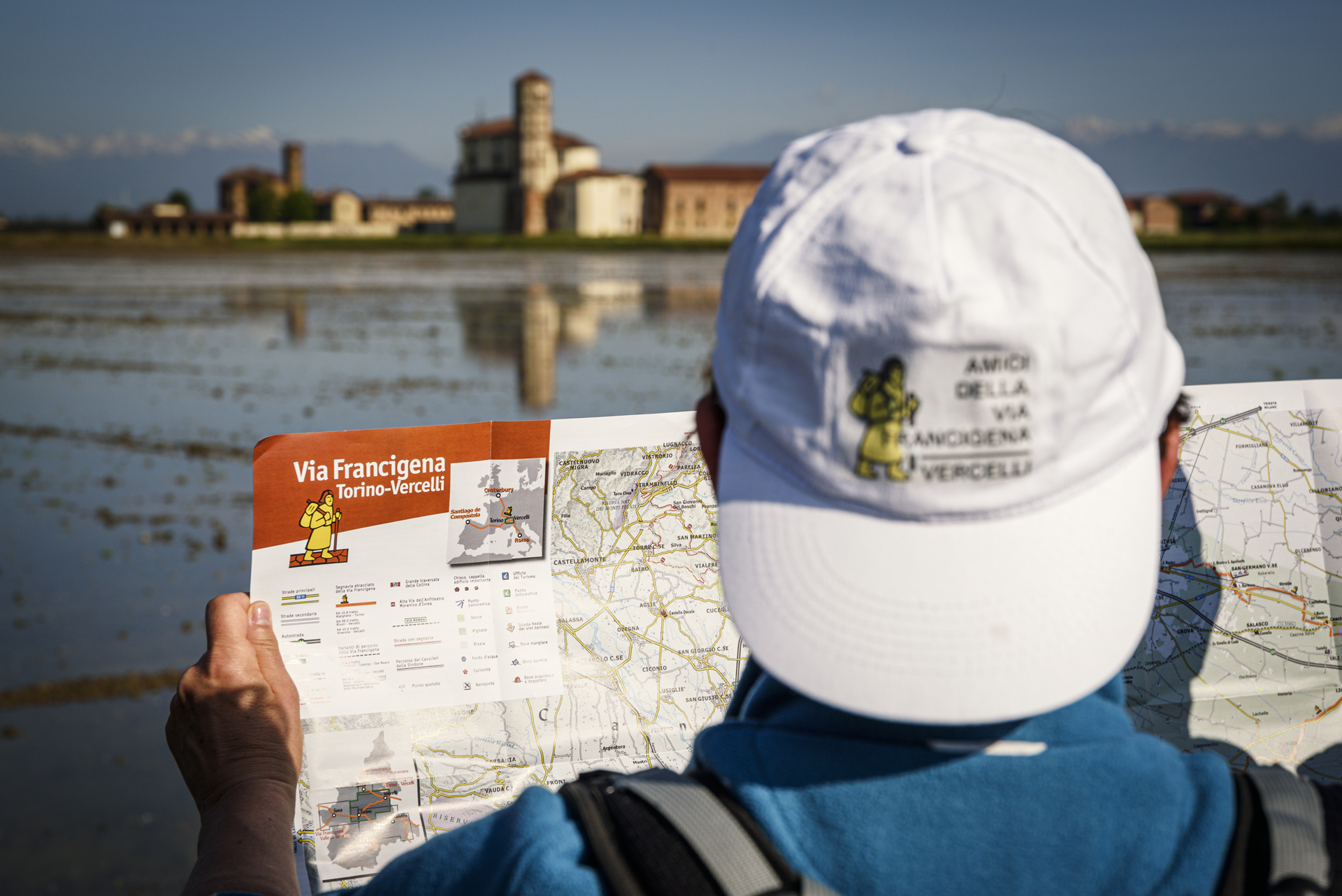
The Via Francigena is one of Europe’s most important pilgrims’ paths, with more than three thousand kilometres linking Canterbury to Rome, and then further south to Santa Maria di Leuca. Discover the Vercelli stages of the Via Francigena!
THE OLDEST ROADS IN EUROPE
The Via Francigena is a branched system of routes linking up the Europe of peoples and cultures. It touches five states, 16 regions and more than 600 municipalities. The name “Francigena” was formerly given to a road connecting the cities of the Italian peninsula with the world beyond the Alps. In fact, the term “Francigena” identifies a route coming from France. The best known route of the “Via Francigena” follows Sigeric’s itinerary, i.e., the stages described by the archbishop of Canterbury who travelled to Rome in 990 to receive the pallium, symbol of archiepiscopal dignity, from Pope John XV. His diary lists 80 stages, of which Vercelli is the 43rd.
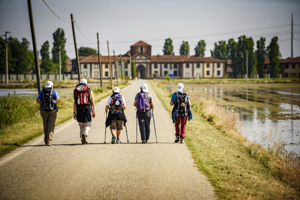
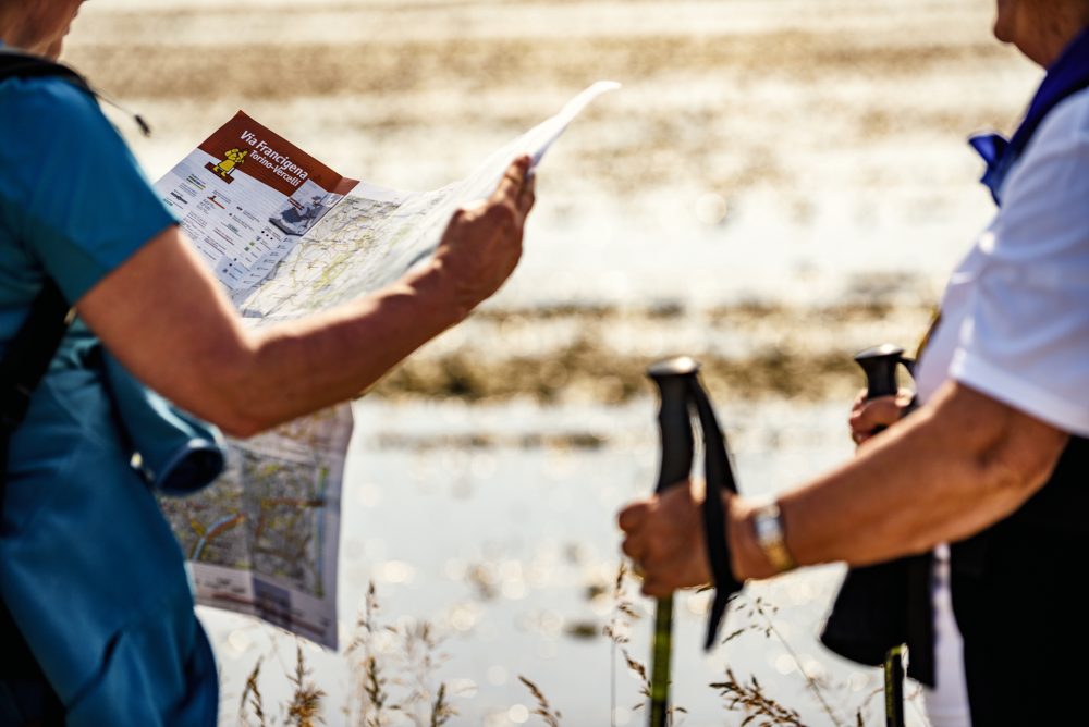
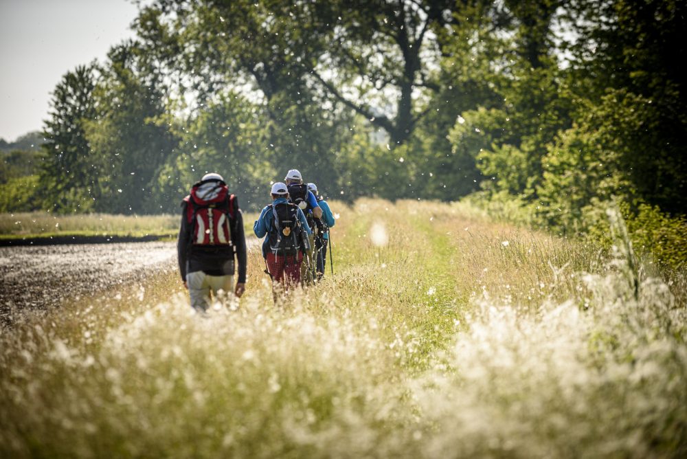
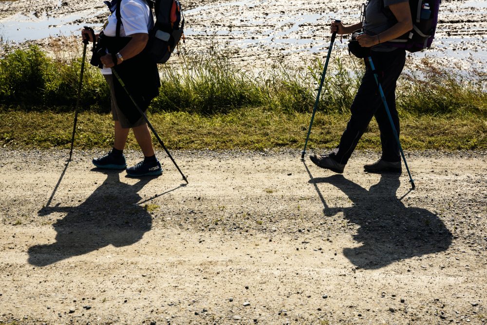
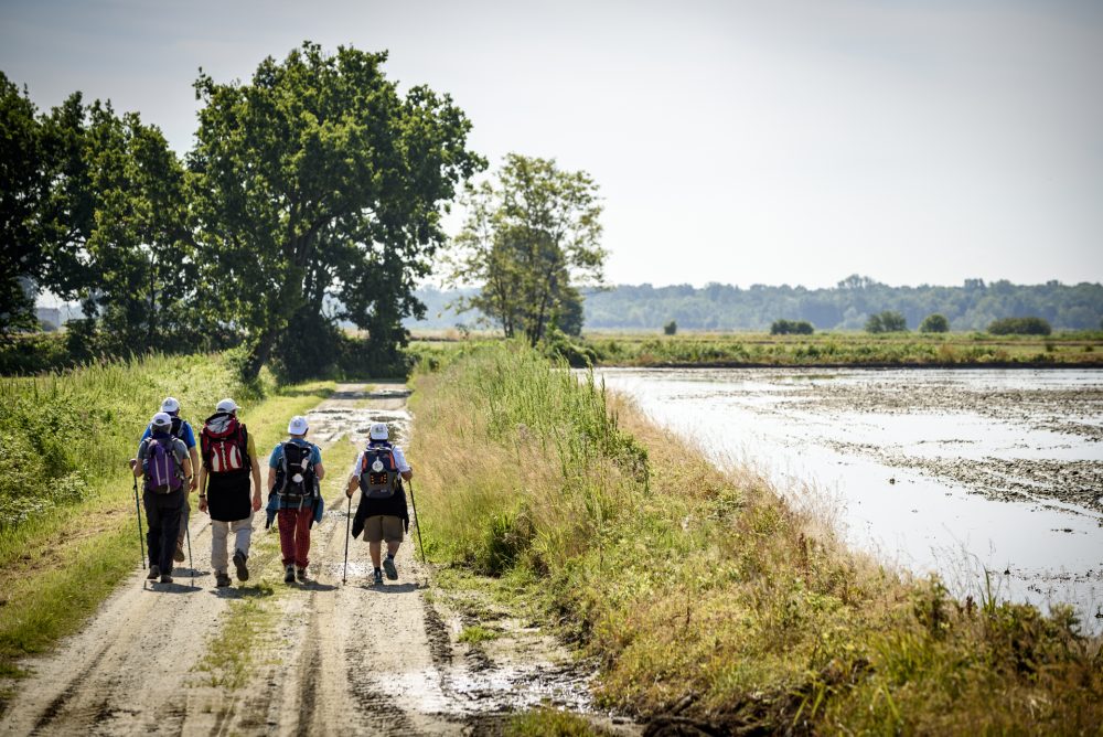
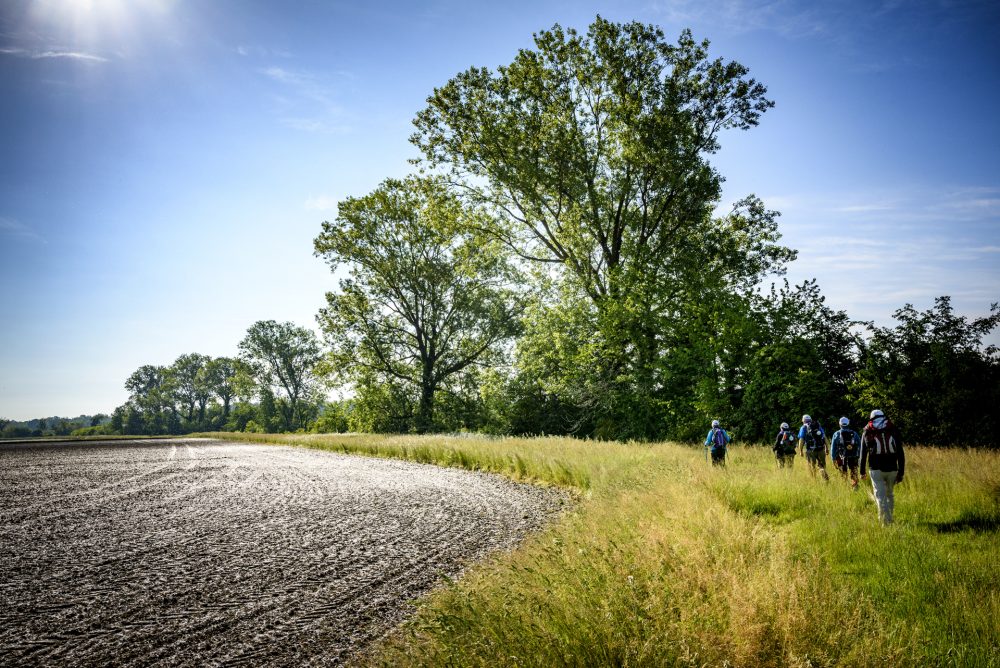
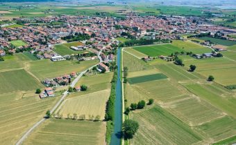
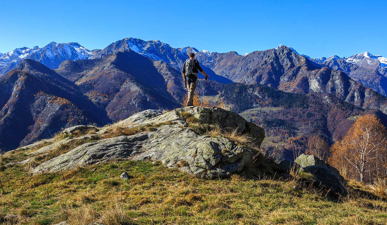
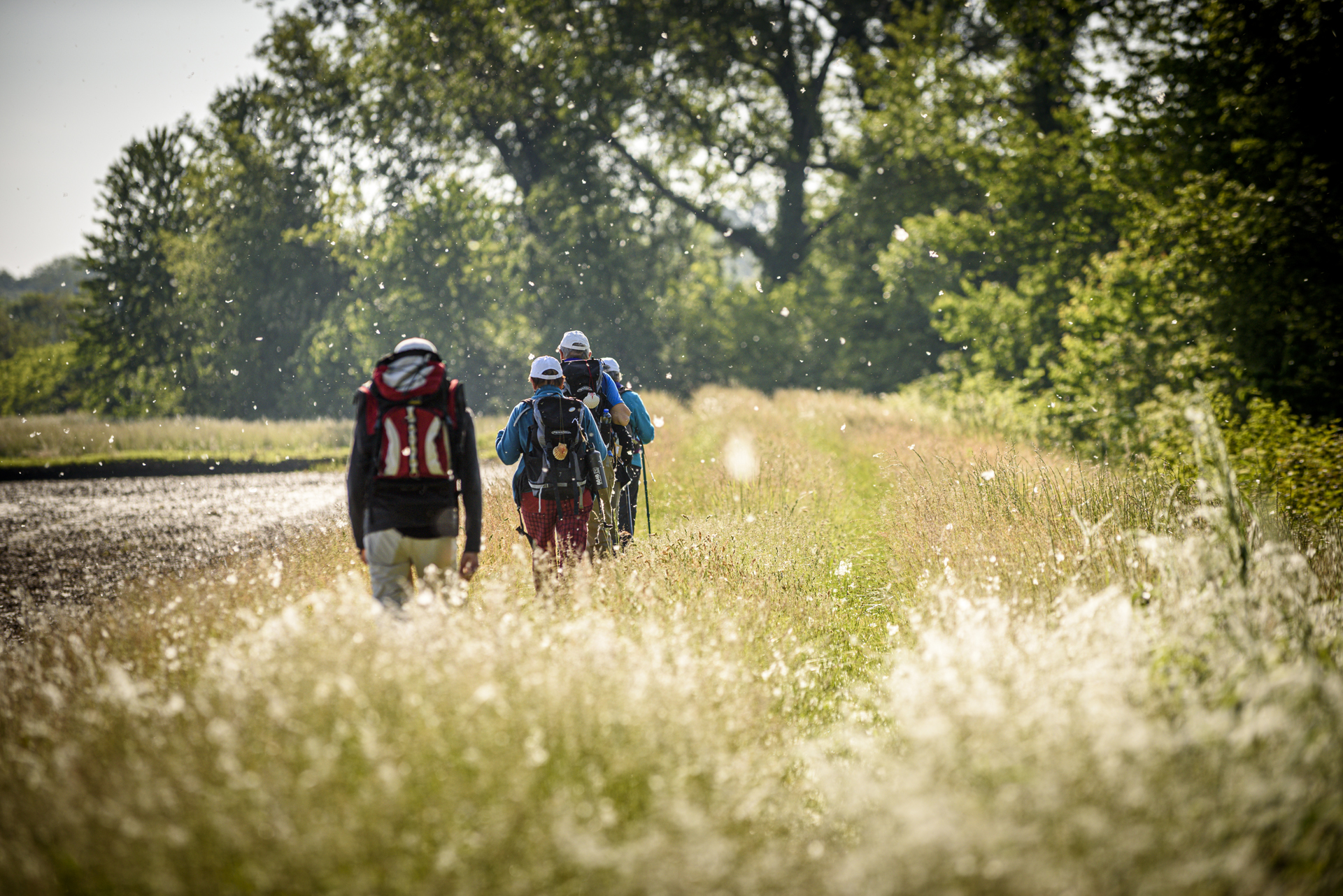
Travelling the Via Francigena means following some of the oldest roads in Europe. It includes mountain paths, stone mule tracks, enchanting villages and white roads in the countryside. The signposts guide you along the Way where all roads lead to Rome.
THE ROLE OF VERCELLI
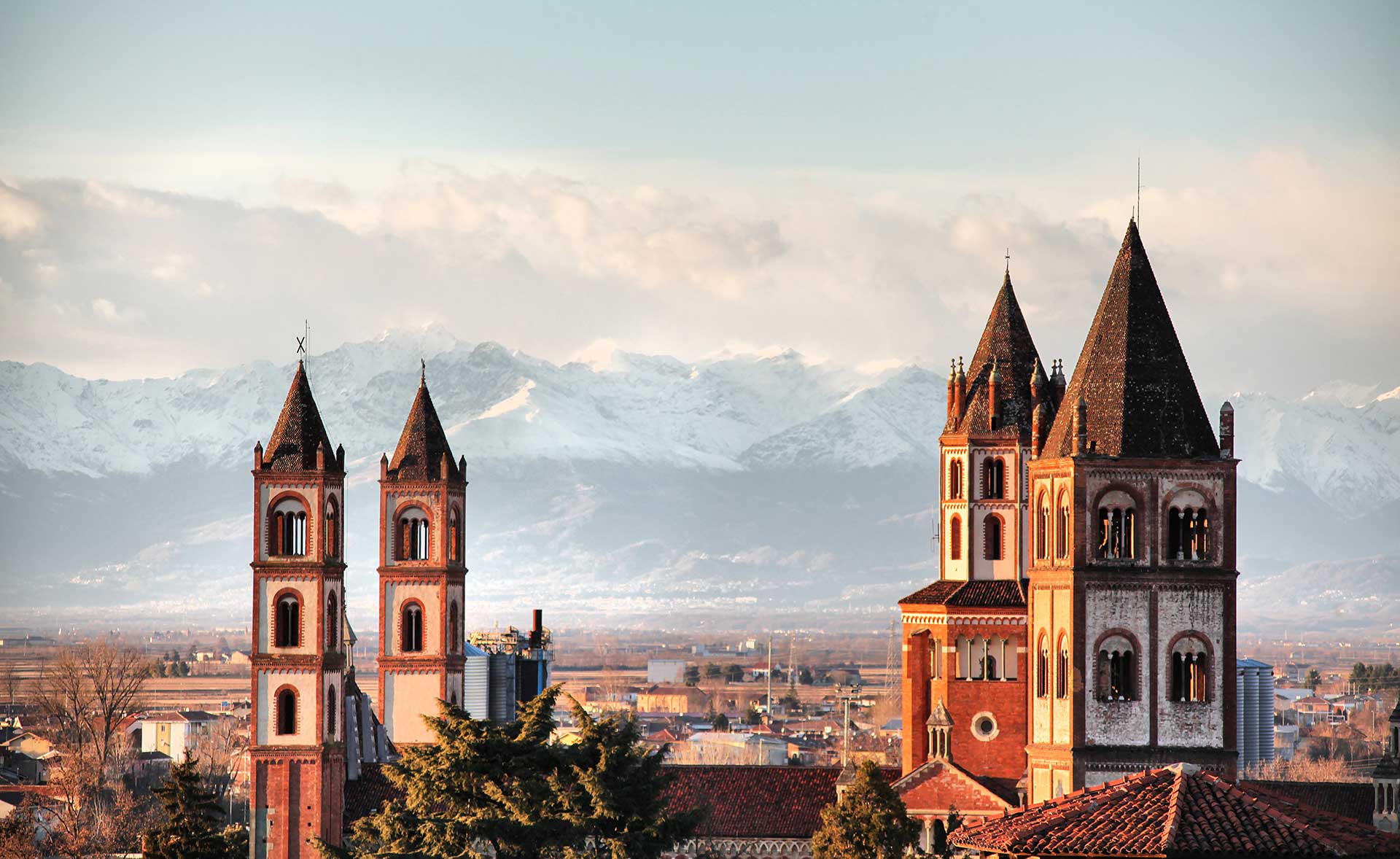
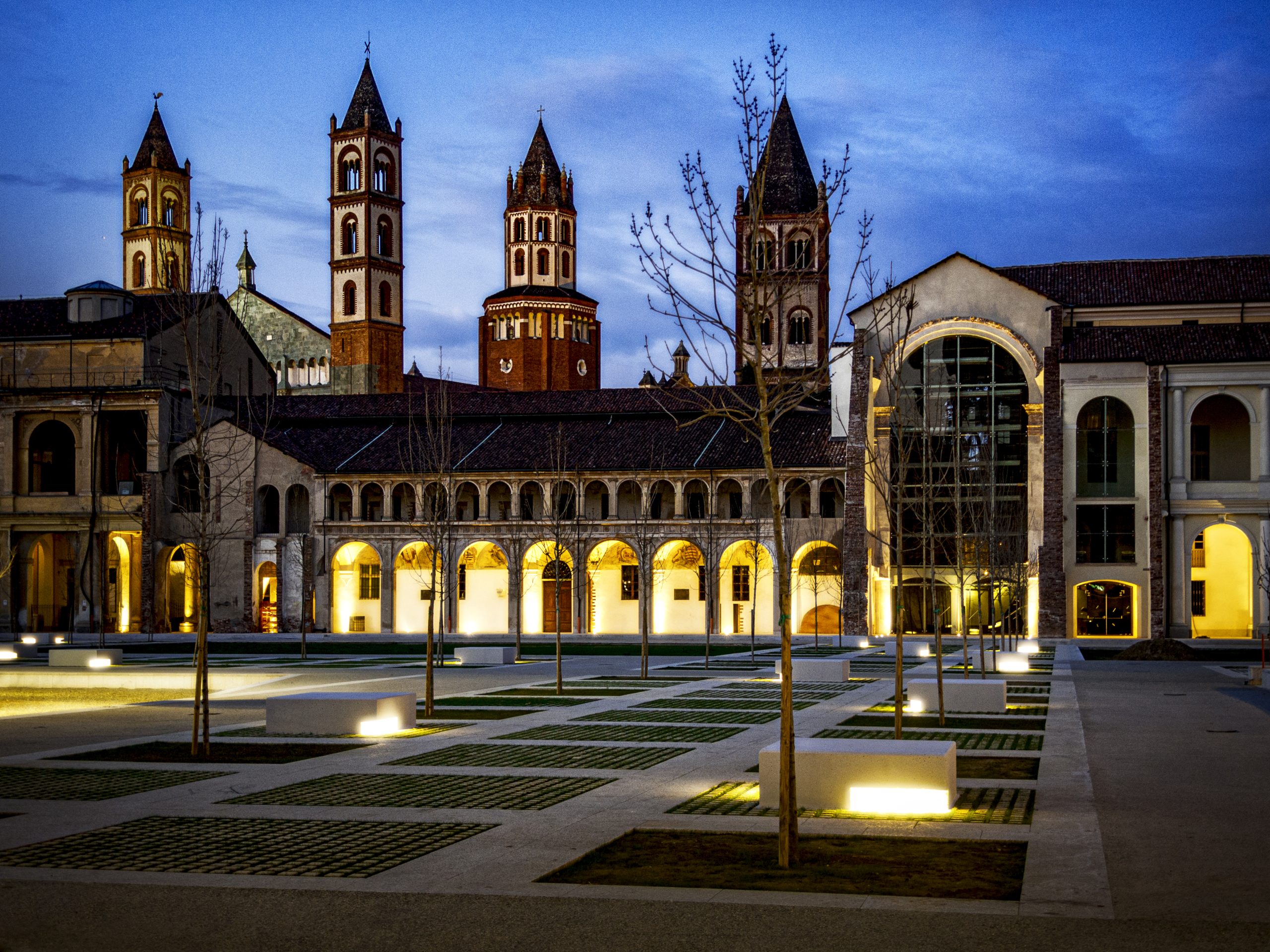
Vercelli is an important spot that converges several routes leading to Rome. In fact, since the Middle Ages, the city has been a key transit site both for pilgrims on their way to Rome and for merchants travelling throughout Europe on business. It is also the only capital city where two important routes meet: precisely, the Camino de Santiago and Sigeric’s itinerary.
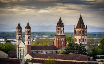
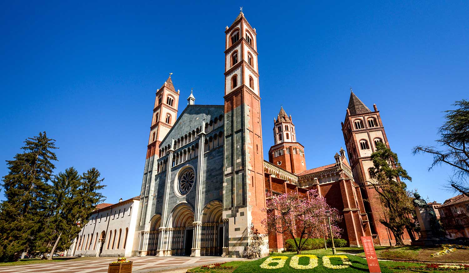
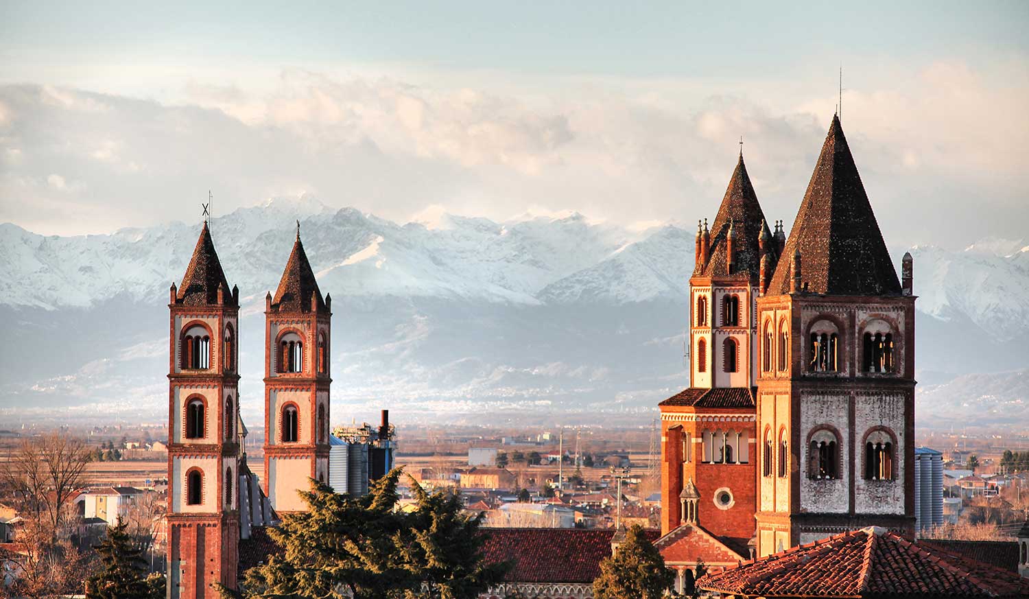
The ancient hospital in Vercelli, run by the same Vittorini friars who were living in the cloister of the Basilica of St. Andrew at the time, was established as a place of welcome and shelter for wayfarers and pilgrims travelling along the Via Francigena, who found the city a hospitable stopover. Today, what remains of this solid hospital structure can be seen a short distance from the Basilica, starting with the Dugentesco Hall. Today, Vercelli maintains the central role given by its historical position along the Via Francigena, and is a member of the European Association of Vie Francigene.
ROUTES IN THE PROVINCE OF VERCELLI
From Gran San Bernardo and Piccolo San Bernardo
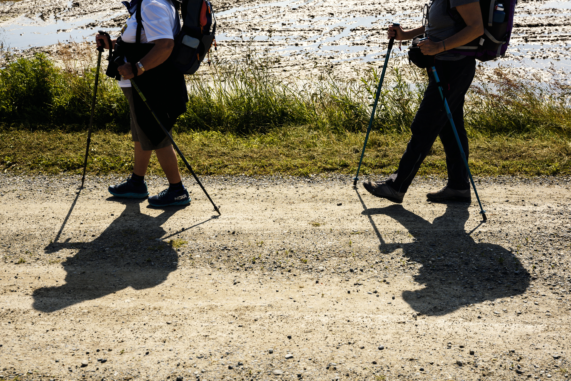
After passing through the passes, you get to Aosta and, crossing the valley, you first touch the province of Turin with the city of Ivrea, then the province of Biella passing by Lake Viverone and the village of Cavaglià. You then enter the province of Vercelli at Santhià, and continue towards Vercelli, passing through San Germano Vercellese and Cascine Strà.
Alternative route
State road no. 11 is very busy, so an alternative could be to cross the provincial road to Olcenengo before reaching Cascine Strà. In this small town you then take the provincial road towards Vercelli. Following this route, you enter Vercelli along Strada Olcenengo, which ends near an overpass accessed by a convenient flight of steps, and then continue on the pavement towards the Piazza Roma square.

ROUTES IN THE PROVINCE OF VERCELLI
From Moncenisio
From the Moncenisio pass, following the course of the Cenischia stream, you reach Susa and then, through the namesake valley, the Sluice of St. Michael. Moving on, you enter Turin, then follow the Po to Chivasso, and from there you can choose three different routes to Vercelli:
The first route crosses the Dora Baltea between Borgoregio and Saluggia, continues to Saluggia, Livorno Ferraris, Bianzè and reaches Santhià, where it joins the branch of the Via Francigena coming from Gran San Bernardo.
The second route continues parallel to the Po, touching on Verolengo, Crescentino, Fontanetto Po and Palazzolo Vercellese, to deviate northwards, passing through Tricerro and Desana, and arriving in Vercelli, Via Trino.
The third route, perhaps the shortest and most interesting, reaches Saluggia, follows the direction of Lamporo, and crosses the Cavour Canal before Lamporo. From the village centre, follow the direction of Castell’Apertole along country roads. Shortly before the village, you come out onto a paved road, turn right towards Castell’Apertole and, still on the paved road, continue in the direction of Vercelli, which is accessed via Trino.
FROM VERCELLI TO ROME
Towards Lombardy
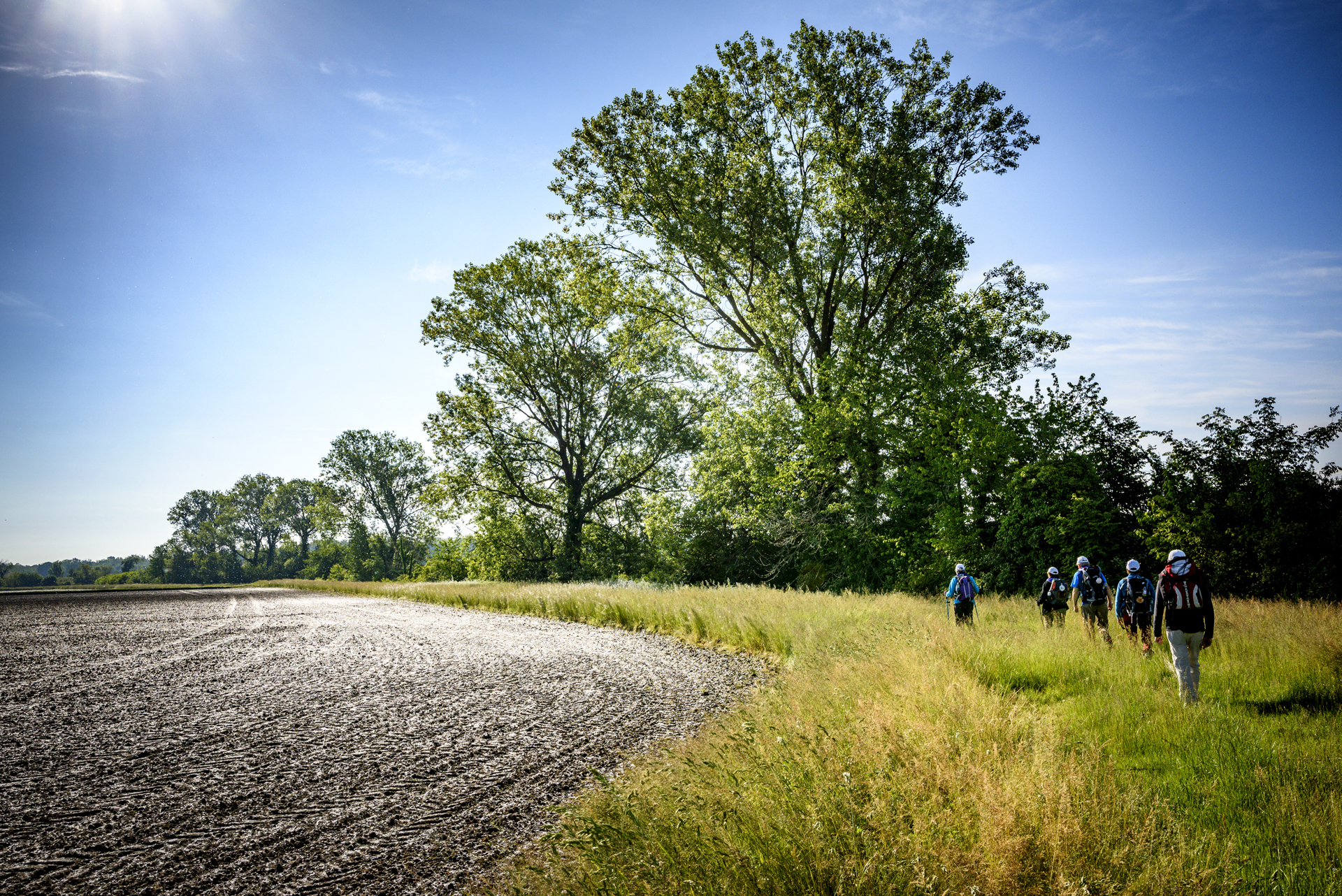
You leave Vercelli along Corso Matteotti, passing the Sesia bridge on the right hand side of the road. When you reach the bend in the main road, turn right immediately onto Strada Boarone, and near the Boarone farmstead turn right again to reach the Sesia riverbank. Here you go up the embankment and continue to Palestro. At Palestro you leave the Province of Vercelli and the Piedmont Region to enter the Lombardy Region.
Alternative route
Leaving Vercelli and after crossing the bridge over the river Sesia, turn right immediately onto a dirt road, continue for about 300 m, and after a farmhouse on the left, turn behind the farmhouse and climb up the riverbank. Continue on the embankment for about 10 km to Palestro.
services and information
association amici della via francigena
HIGHLIGHTS AND MUST-SEE places
Art and culture, ancient traditions, excellent food and wine, and countless outdoor activities.
