cyclable rice paddies n. 6 – castles, rice fields and lakes
Vercelli – Olcenengo – Vettignè – Santhià – Cavaglià – Lago di Viverone – Tronzano – Crova – Vercelli
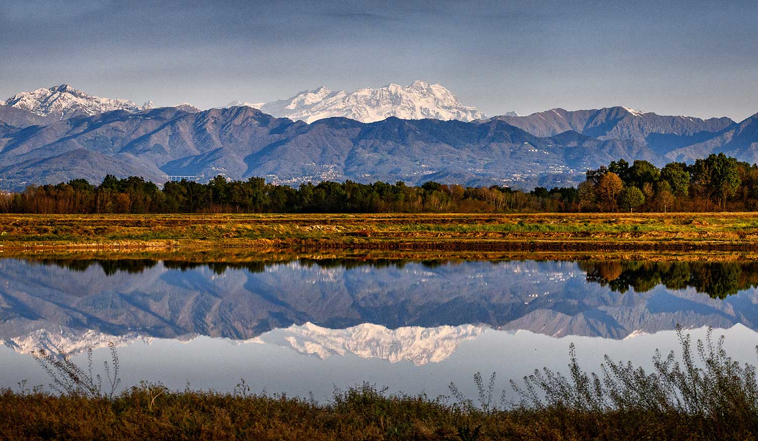
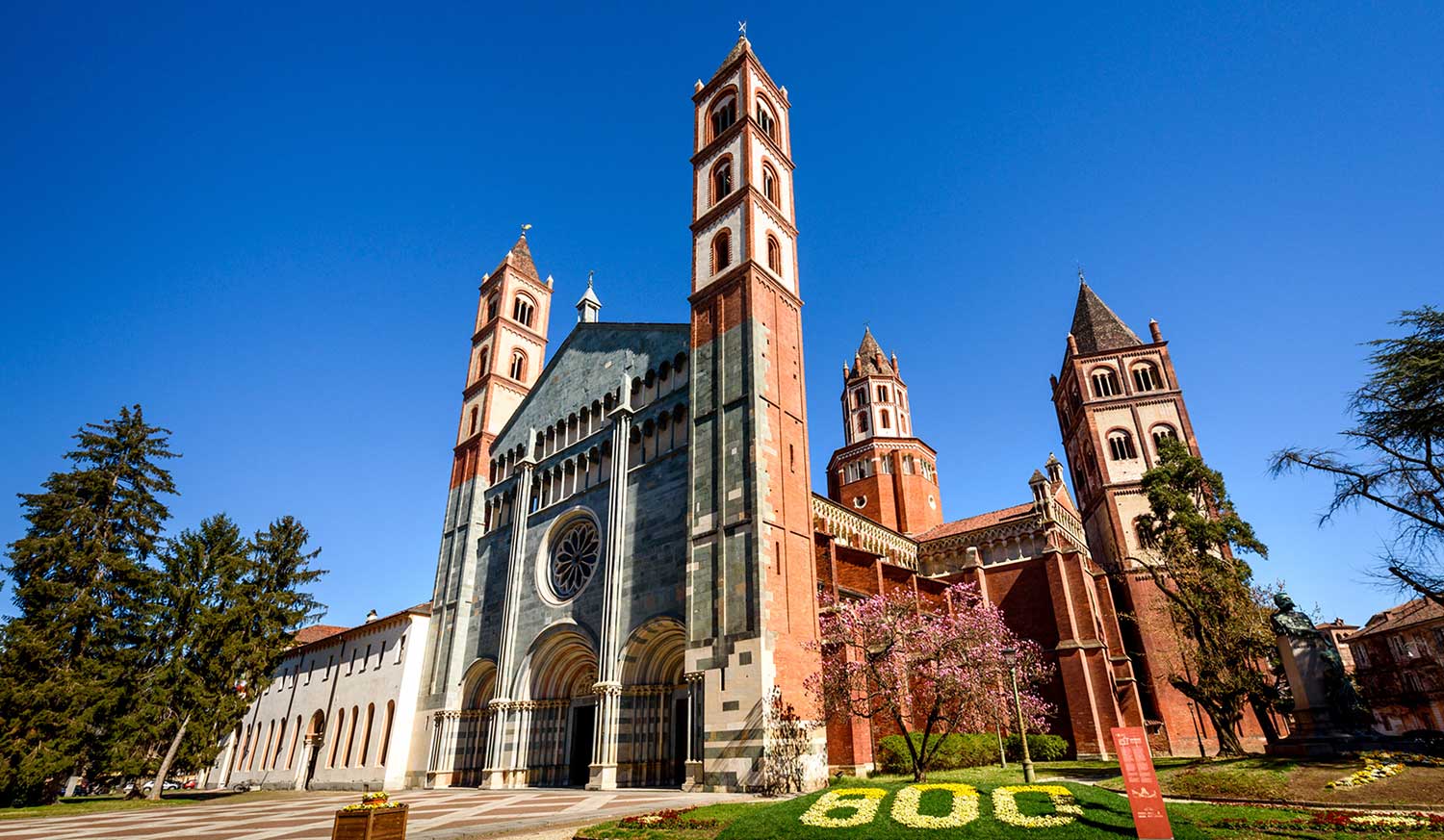
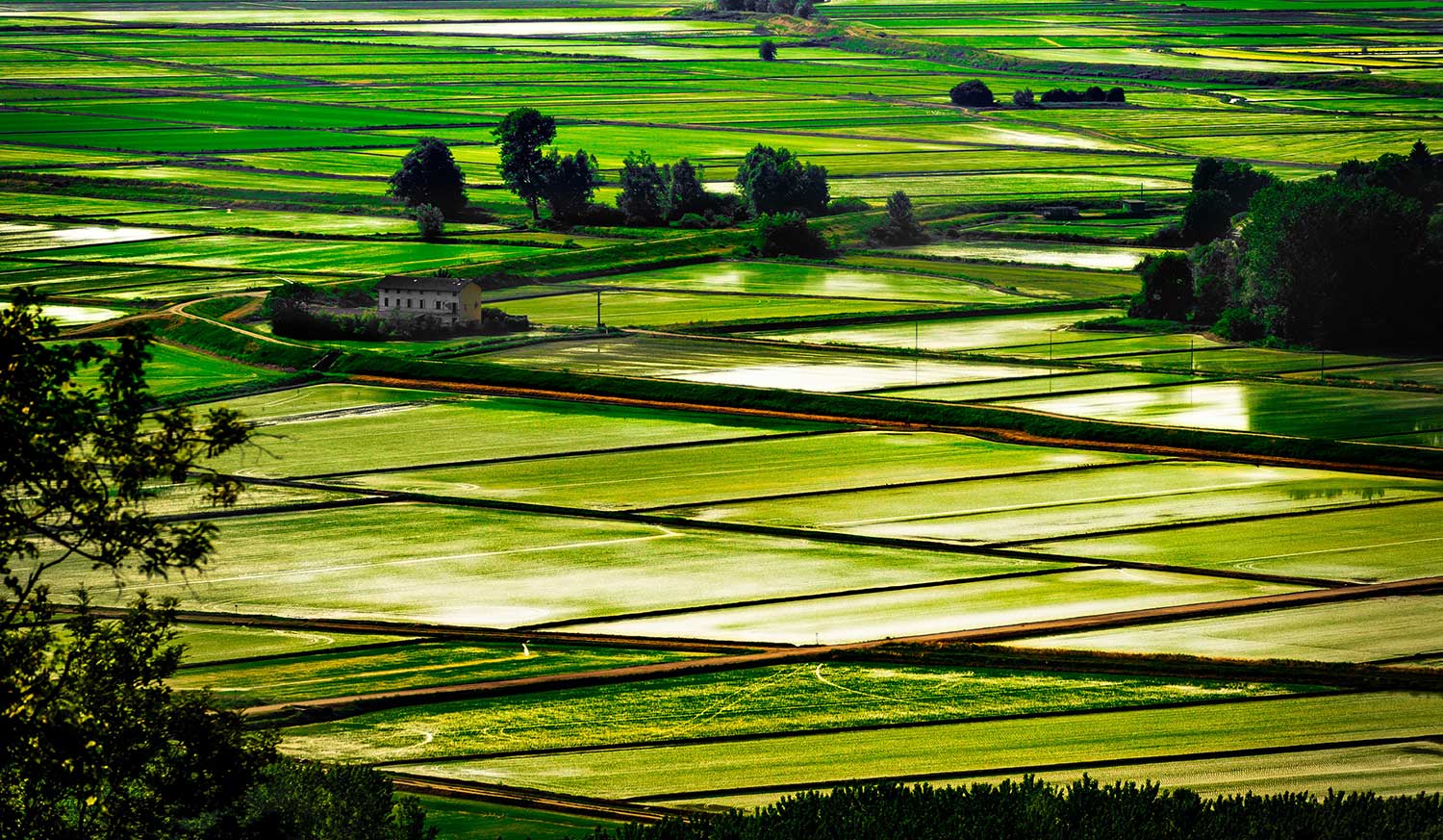
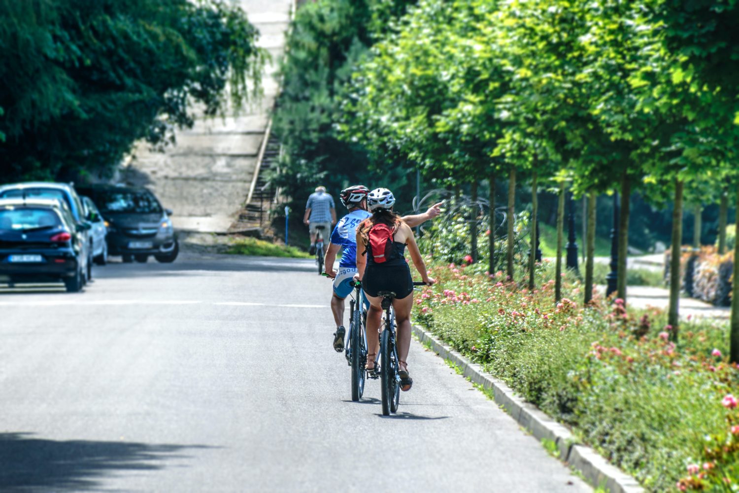
An ideal route to discover an area of authentic beauty around Vercelli: a ring route of about 80 km that explores through the Vercelli rice fields, approaches the Via Francigena that reaches Santhià and leads up to the waters of Lake Viverone.
Difficulty: medium
Distance: 77 km
Average duration: 6 hours
D+: 306 mt
D-: 306 mt
altitude difference: 0 mt
Route Description
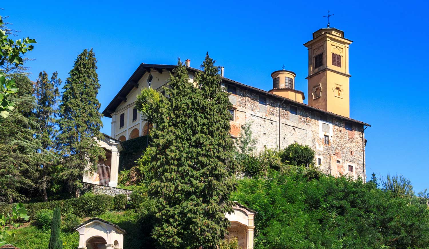
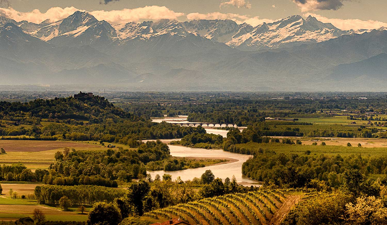
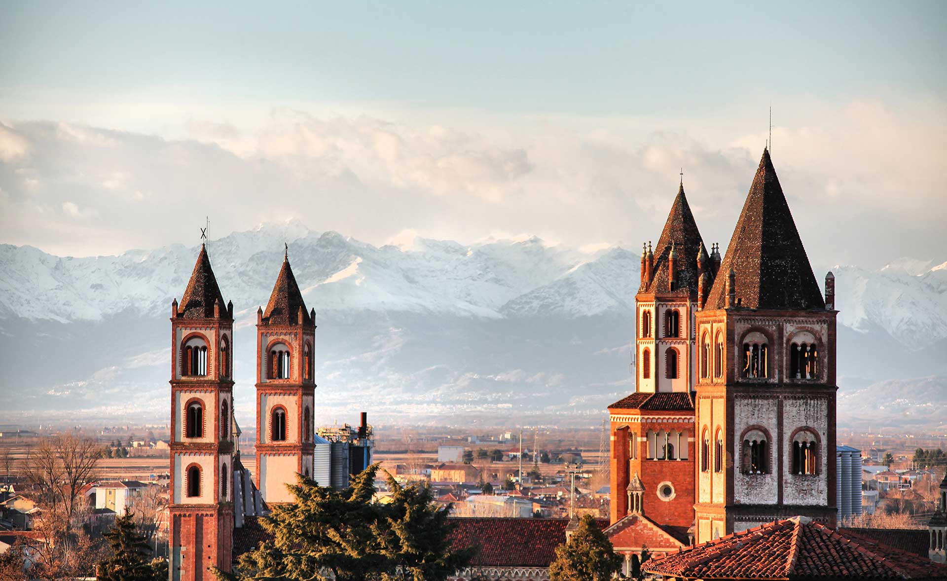
From the Vercelli train station, take the Corso Gastaldi overpass, Via Donato, and follow for the small town of Olcenengo. After crossing the village, continue in the direction of Casanova Elvo, until you reach the hamlet of Vettignè, from which you can see the silhouette of the eponymous castle of medieval origin looming over the rice fields. The hamlet of Vettignè, built in the 15th century at the crossroads between the Via Svizzera and the Via Francigena, retains traces of that historical period in its name: in fact, the toponym of Vettignè derives from vectigal, that is, the duty required of wayfarers to obtain the right of passage. Resuming the road, we soon reach Santhià: the town is worth a stop if only to admire the Collegiate Church of Sant’Agata, inside which is preserved a well-known polyptych by Giovenone, with its 12th-century Roman bell tower. From the first spring sunshine to mild autumn days, it is then not uncommon to catch a glimpse of some pilgrims venturing along the Via Francigena that leads from Canterbury to Rome, a total of more than 3,000 km. On the Santhià bypass, follow the signs for
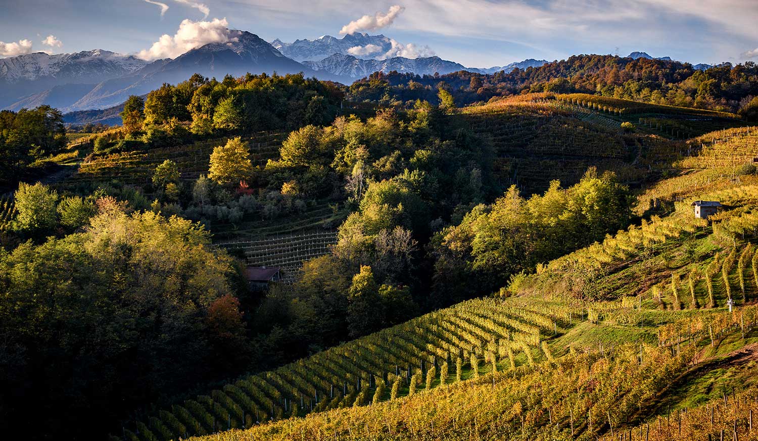
Biella to Cavaglià where you follow the direction to Viverone. From a distance you can make out Roppolo, which, with its castle and church, is also a key stop on the Via Francigena. The route then continues overlooking Lake Viverone, the third largest in Piedmont shared between the provinces of Turin, Biella and Vercelli, and skirting it for 5 km reaches Alice Castello, then continues in the direction of Tronzano V.se. In this stretch the Naviglio di Ivrea, Depretis Canal and Cavour Canal, essential sources for rice cultivation in the Vercelli area, intersect. From here, you pass through the villages of Crova and Salasco, with its lake a destination for fishing enthusiasts, and then rejoin the SP11 at Cascine Strà, from where you then follow the signs back to the starting point.
Recommended period: spring and autumn
Type of terrain: dirt and asphalt
Other paths
recommended
The Vercelli area by bicycle has so much to offer!
Explore all the pleasant loop routes and set out to discover the Vercelli rice lands on two wheels.
