BORGOSESIA fraz. Foresto – Monte Tovo – Castello di Gavala
trail n. 715 Borgosesia, fraz. Foresto – Monte Tovo – Castello di Gavala
Difficulty: EE – Experienced Hikers
average duration: 4-5 hours
departure altitude: 371 mt
arrival altitude: 1827 mt
altitude difference: 1456 mt
Route description
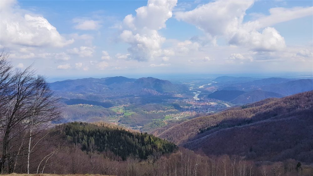
The route touches the highest peaks in the town of Borgosesia.
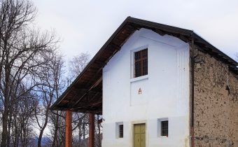
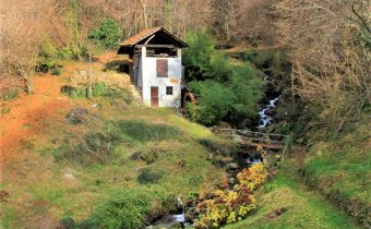
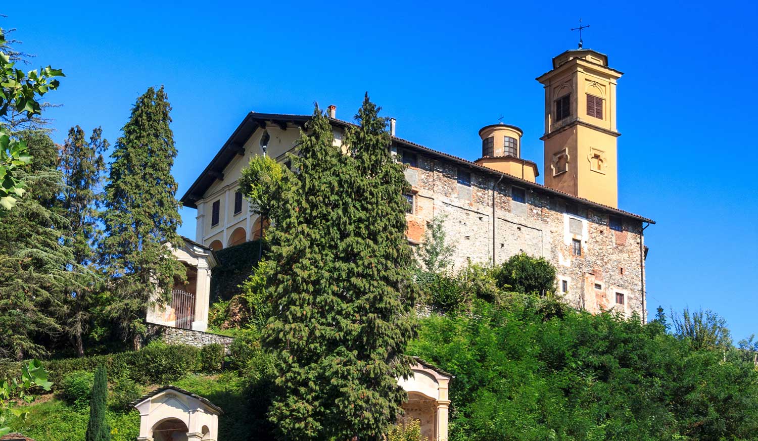
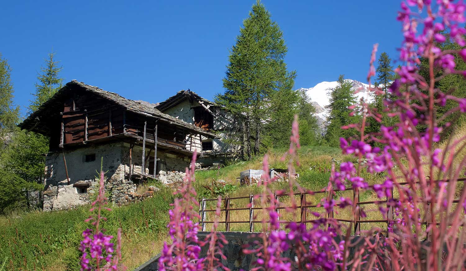
The route begins near the parish church of Isolella, 371m, following the municipal road of the hamlet of Foresto until it reaches the first hairpin bend. Here you take a wide mule track that climbs keeping to the right for a good stretch. Passing an oratory, you reach, in about 30 minutes, Foresto, 551m in the vicinity of the cemetery and parish church dedicated to St. John. (You can also get to Foresto by car).
Enter the village and continue to reach an old chestnut grove located above the hamlet of Costa, via a mule track. Leaving two farmsteads on the left and crossing a chestnut forest, you reach the inter-modal road of Monte Tovo, cross it and proceed on the mule track that leads to the Fontana degli Alpini. The route climbs and skirting the pine forest reaches Alpe Bonde, at an altitude of 945m. It then proceeds along the hairpin bends of the trail through a beech, fir and birch forest to meet the road again at Alpe Stanvone, 1092m.
You pass the fountain and quickly climb to Rifugio Luciano Gilodi (Cà Mea), 1110m. You can also reach the Refuge, which is below the summit of Mount Tovo, by car.
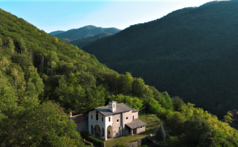
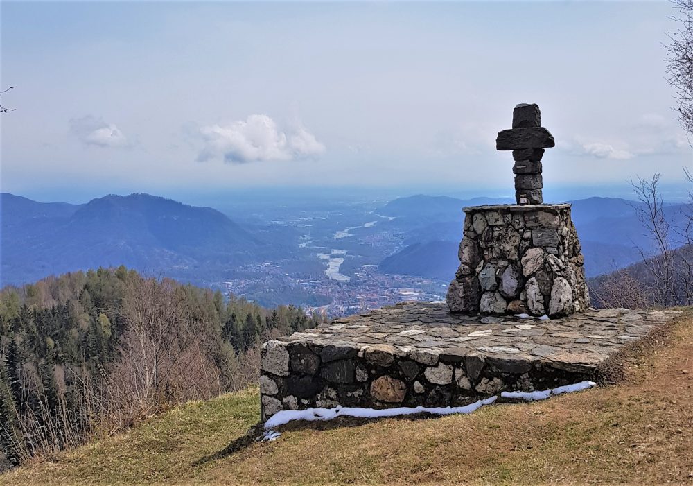
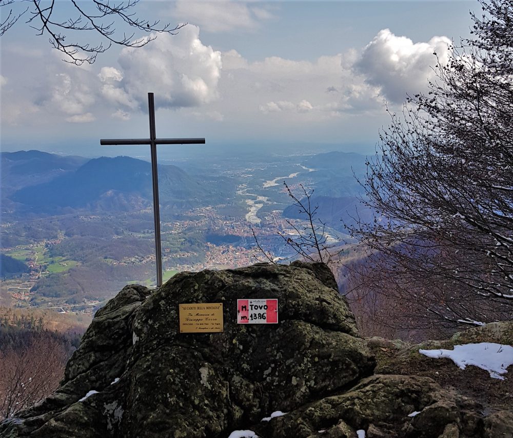
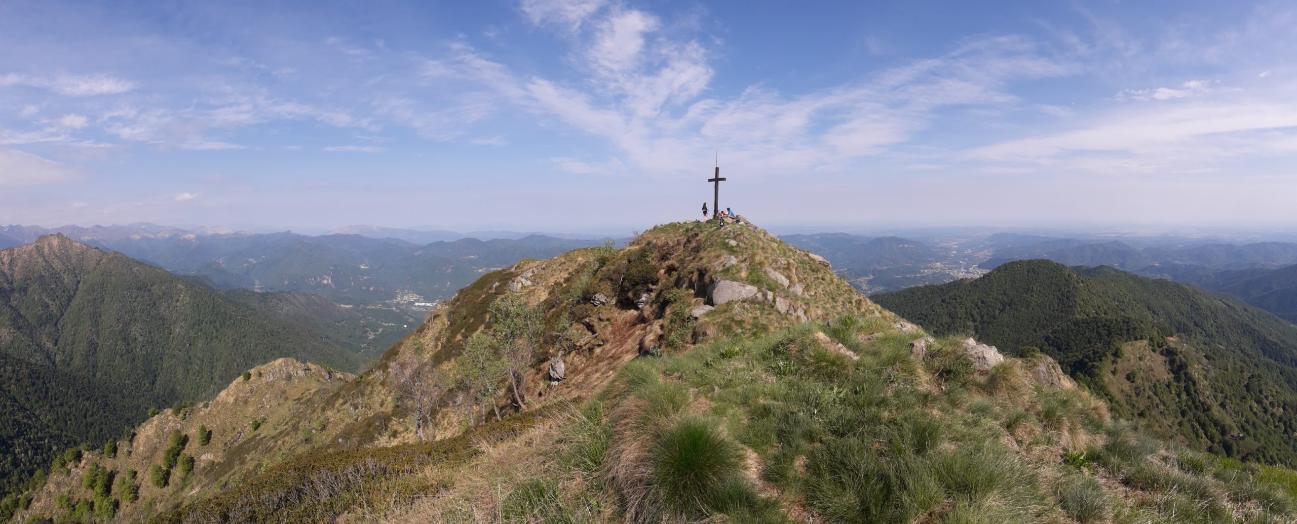
Behind the hut one climbs up the road and reaches the large square overlooked by the pretty little chapel with a view of Borgosesia. From here you can climb to the extreme tip of Mount Tovo, where a symbolic cross rests, by climbing up the path on the wide slope to the right. Instead, the itinerary continues on the wide unpaved road on the right into the beech forest and reaches a shoulder of the Falghé hump, at the point where it intersects with itinerary 713, which leads from Doccio to Monte Tovo.
Proceed always keeping to the right along the dirt road that with several ups and downs reaches Sella della Rosetta, 1246m. From here, continue on the path that runs along the ridge reaching a grassy shelf, the Soglio, the arrival point of the itinerary coming from Doccio.
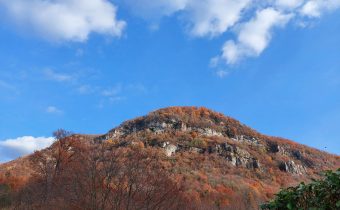
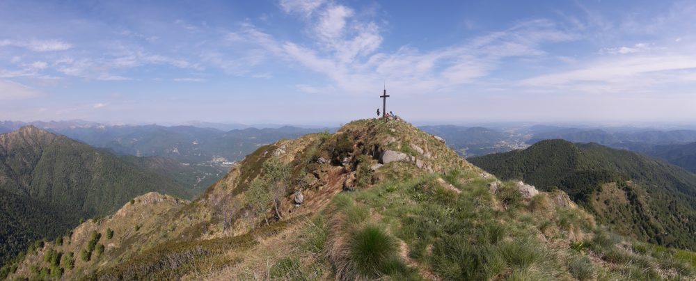
Proceeding on the Doccio side, you climb a gully that comes out on the ridge; you then pass on the Postua side (left), passing a ledge under a wall: the “Balmaccia.” You then reach the Sella del Casone by climbing a gully until below the anticima. Having circumvented the anticima in a steep section that requires caution, one arrives by walking a few more minutes to the summit of Mount Luvot, 1603m, symbolized by a large cross. In his “Guide to the Mountains of Valsesia,” Don Ravelli refers to it as Sasso di Soliva or Baudrocco.
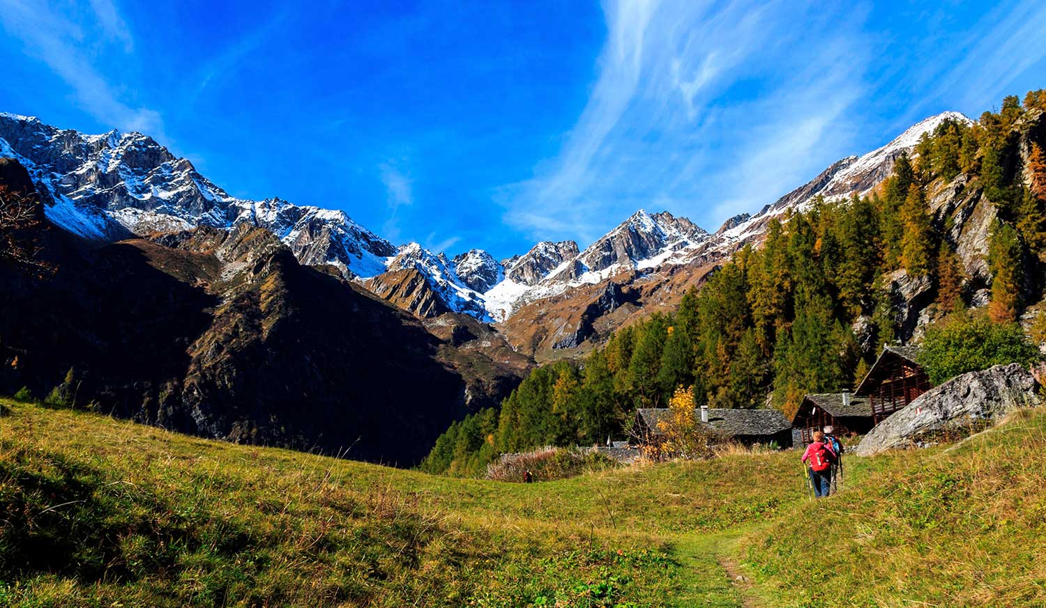
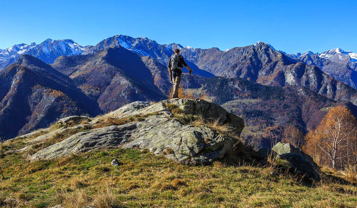
Then proceeding along the ridge and passing several humps, you go around, below the ridge, on the Valsesian side, the Terraggiolo peak, 1656m. Instead, proceed following the ridge until you reach the first rocks of Gavala. Bending to the right, you flank the Locarno slope. Ascending by traces the ridge toward the west summit, then passing a small gully, you reach the first one. Later, past a second big head on the right, you pass a saddle where there are trail tracks leading along the ridge toward Massale and Res. From the saddle, via an exposed section, you can reach the main summit of Gavala Castle, at an altitude of 1827m.
Other routes
recommended
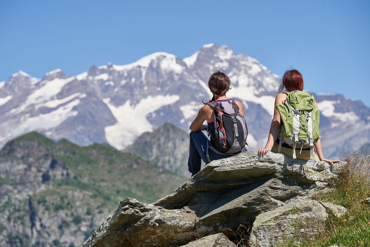
Valsesia has a lot to offer to hiking enthusiasts
Suggestive trails surrounded by nature that offer breathtaking views: be surprised by the beautiful mountains of Valsesia!
