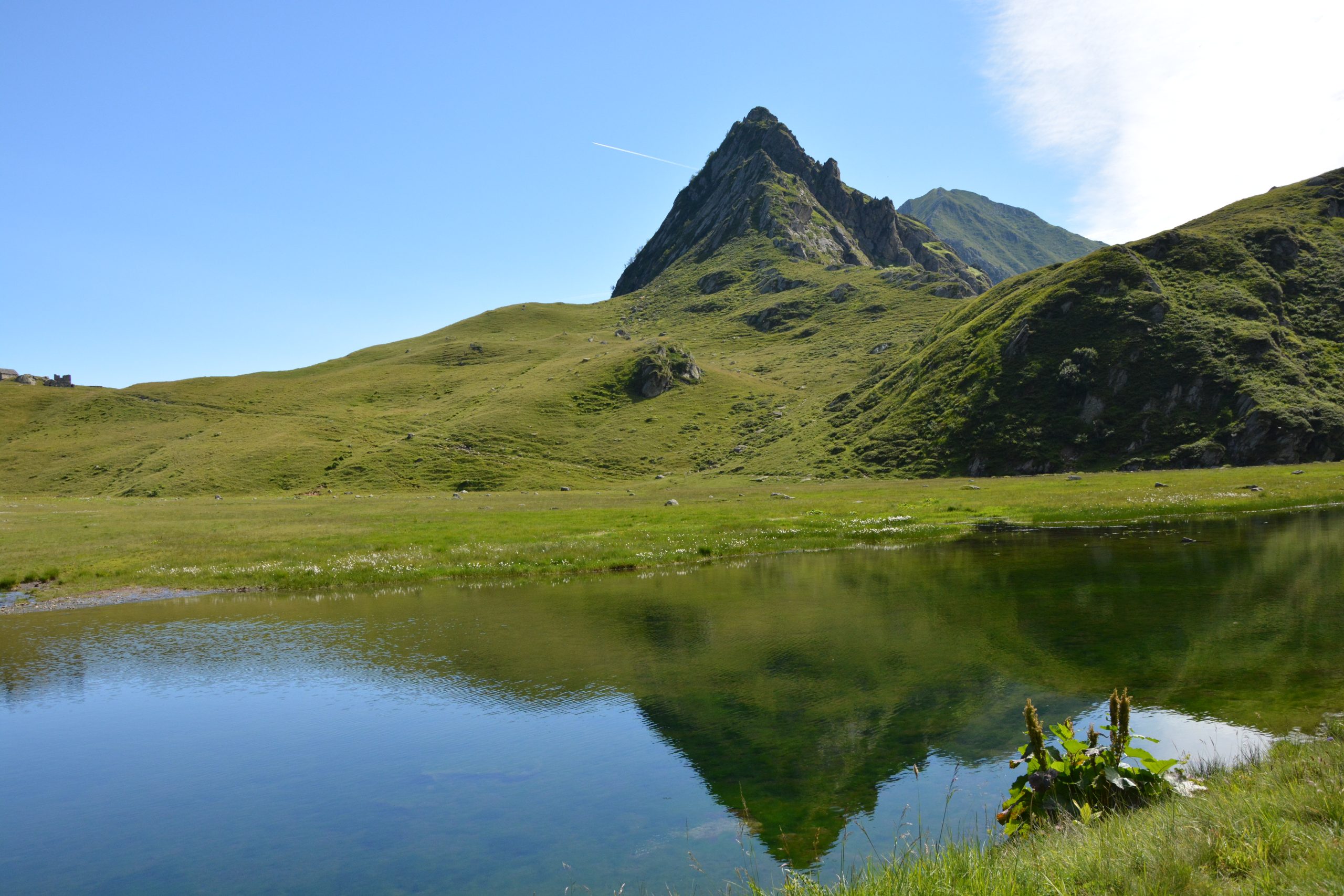
FOBELLO – Lago e Colle di Baranca
trail n. 517 Fobello,Fraz. S. Maria – Lago e Colle di Baranca – Colle d’Egua
Difficulty: medium
average duration: 3-4 hours
departure altitude: 1106 mt
arrival altitude: 2239 mt
altitude difference: 1133 mt
Route description
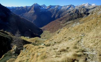
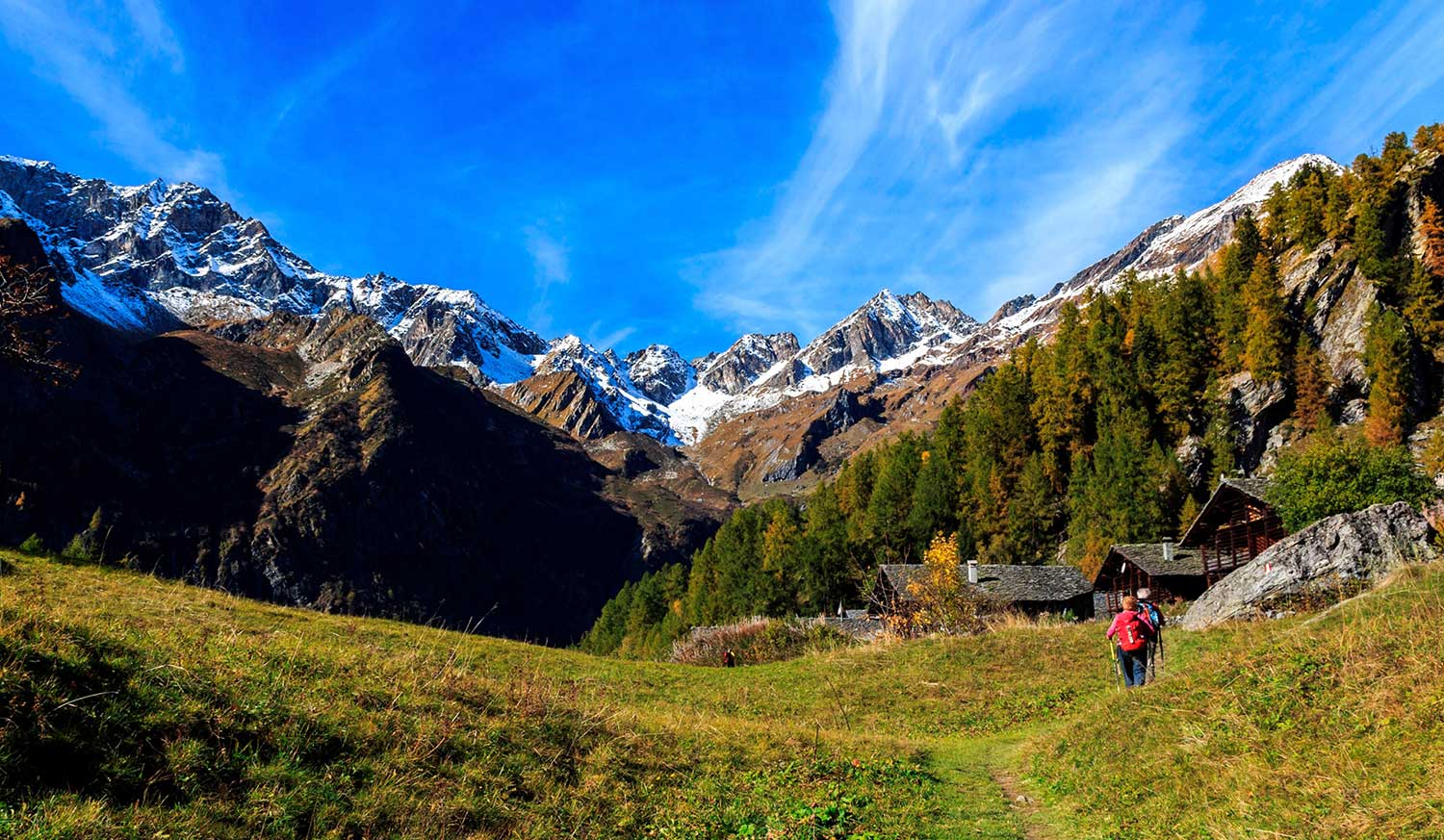
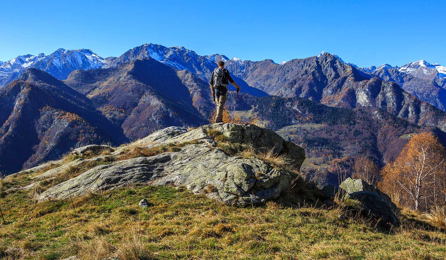
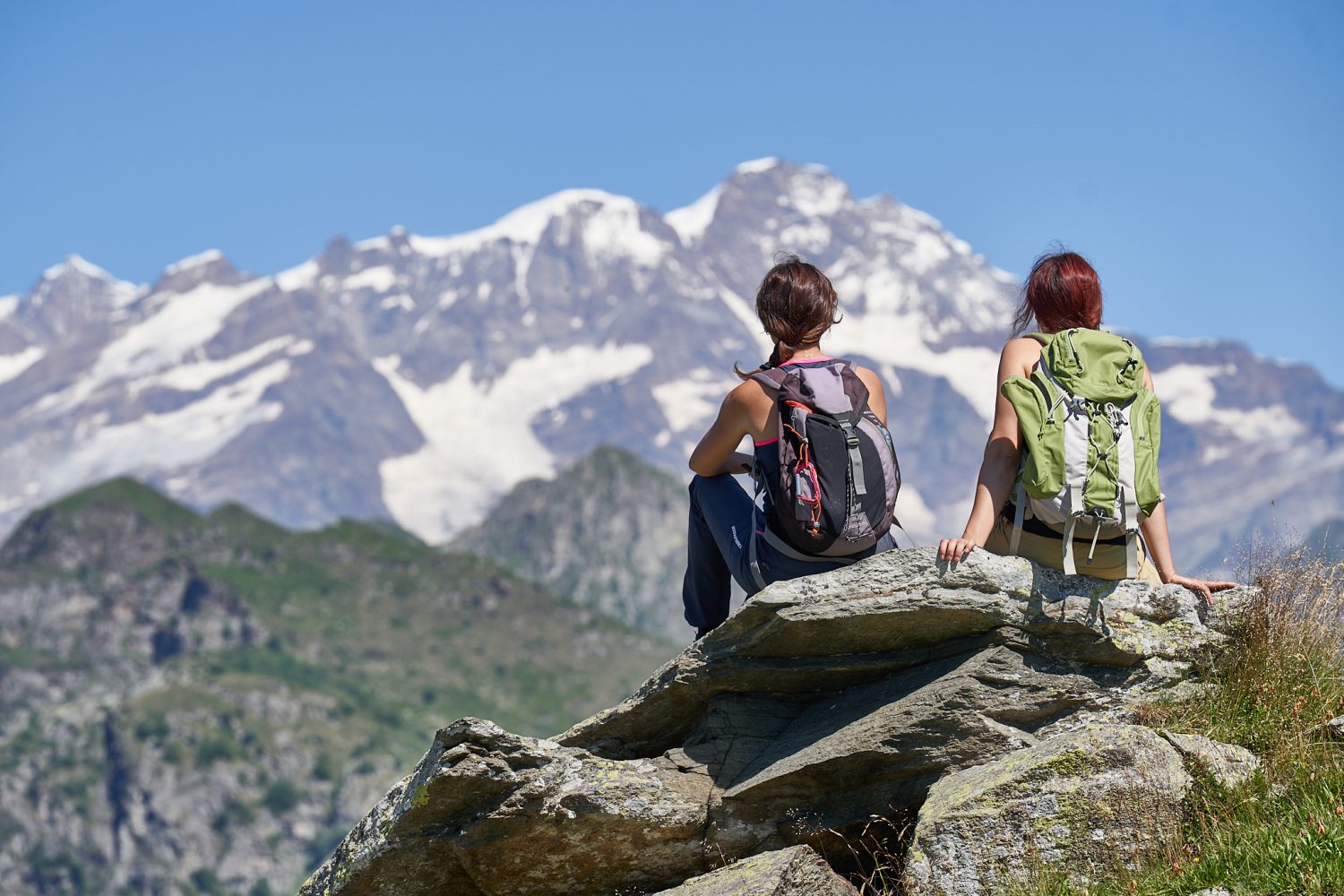
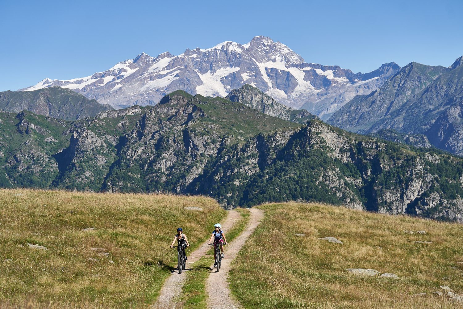
This route leads to Lake and Colle di Baranca, which connects to Colle d’Egua along a trail of great historical importance, often used in the “grands tours” of the 19th century.
It is part of the route of the Great Traverse of the Alps (GTA), the Great Walser Trail, the Via Alpina and the Cai Italy Trail.
From the village of Fobello, 873m, we continue by car on the carriage road, passing through the hamlets of Boco and La Piana, to Santa Maria, 1106m, the starting hamlet of our itinerary.
At the end of the paved road, where there is a parking lot, we take trail 517, which follows the course of the Mastallone stream, and on the way up we meet the alpine pastures Catolino, 1252m, and Lungostretto, 1291m. A little higher up, crossing the Mastallone on a bridge, the mule track proceeds with a couple of hairpin bends, passing by a picturesque beech glade.
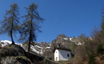
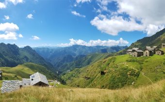
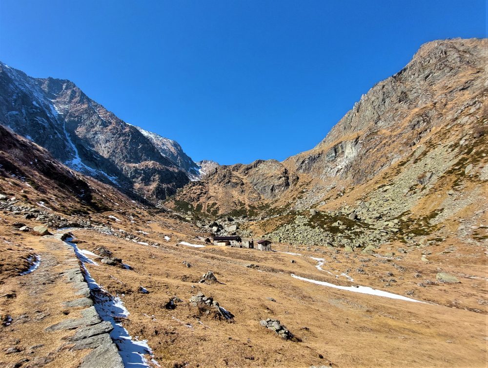
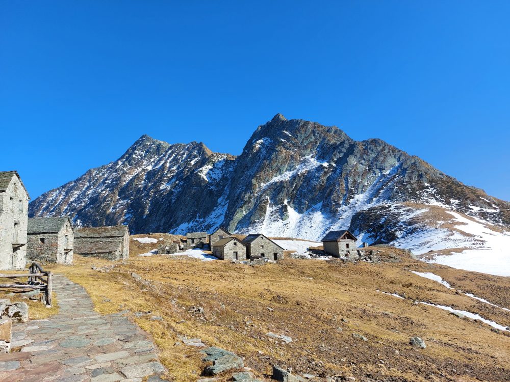
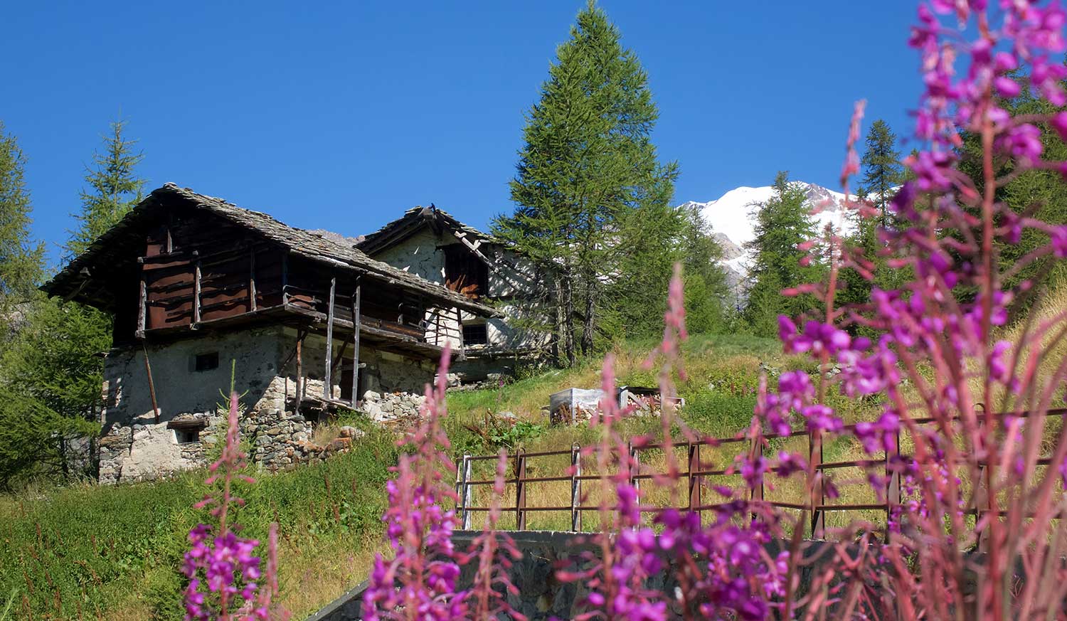
You then reach Alpe Baranca, at an elevation of 1600m, a lovely cluster of renovated huts, with the GTA stage point hut.
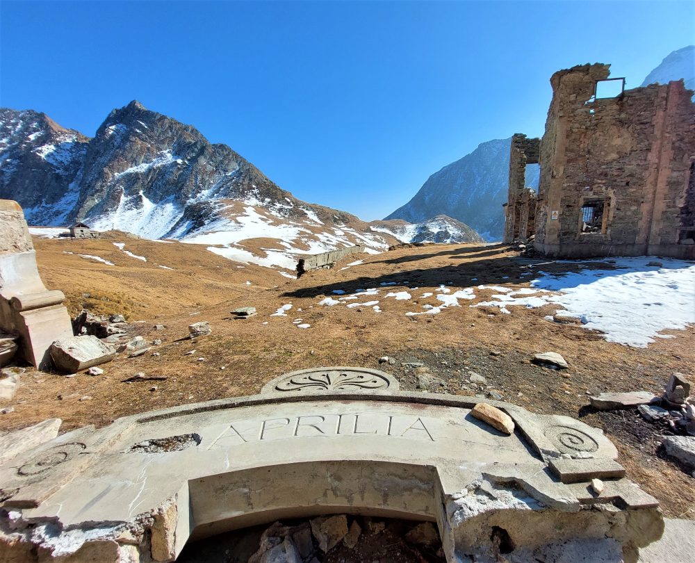
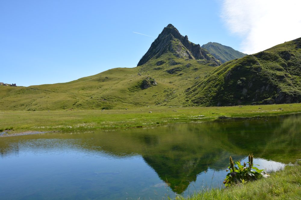
The route proceeds slightly uphill near the waterfall, formed by the waters of Lake Baranca. You reach the lake by following the trail to Alpe Selle, with several characteristic huts. Not far away, you can see the ruins of what was once the famous Villa Aprilia, known as Villa Lancia, destroyed during the last World War.
From the hill one can descend toward Bannio and Anzino.
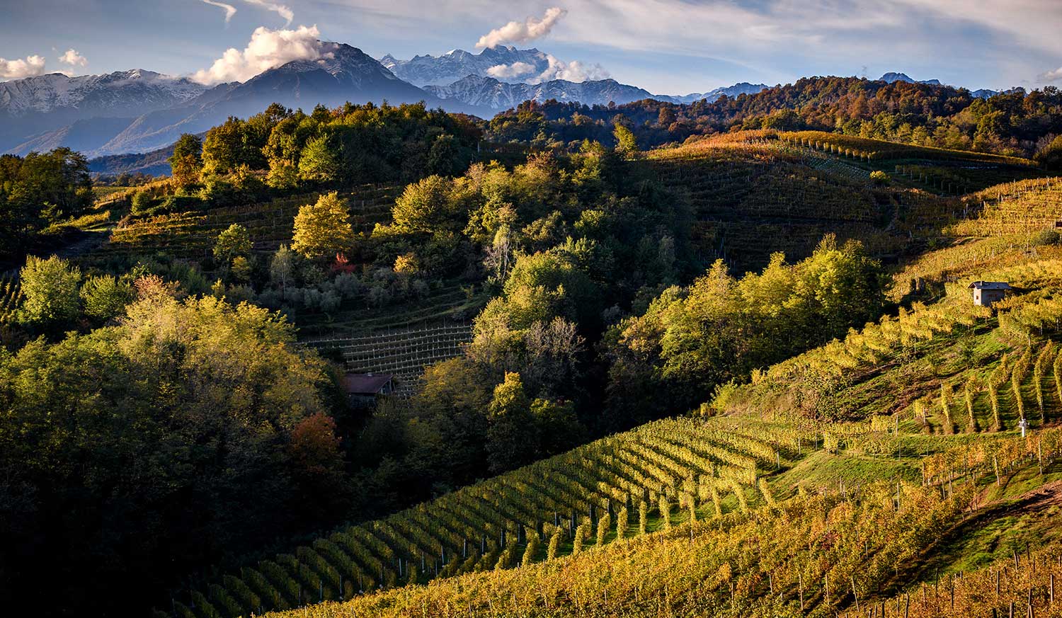
From here you can resume climbing through picturesque meadows rich in alpine flora, on the southeast-oriented path that leads to Colle d’Egua, 2239m, and then connect to the village of Carcoforo.
Other routes
recommended
Valsesia has a lot to offer to hiking enthusiasts
Suggestive trails surrounded by nature that offer breathtaking views: be surprised by the beautiful mountains of Valsesia!
