PILA/SCOPELLO – Alpe di Mera – Cima d’Ometto
Route / Trekking
Hikes
trail n. 236 Pila – Alpe di Mera – Cima d’Ometto
Difficulty: medium
average duration: 3-4 hours
departure altitude: 686 mt
arrival altitude: 1911 mt
altitude difference: 1225 mt
Route description
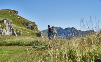
The route begins in Pila, 686m, near the bridge over the Sesia River. From here starts a comfortable mule track that crosses meadows and woods and contours Alpe della Rivaccia.
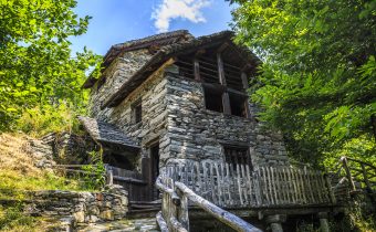
Climbing, surrounded by beech trees, you pass the cottages of Alpe Pianello, 900m, where there is a chapel , and then reach the huts of Alpe Dughere, 938m. Leaving this now-abandoned alpine pasture, the mule track flanks the ski slope, following it in places, then proceeding back into the woods.
This point of the trail can also be reached from the village of Scopello by taking trail No. 236a, which starts in front of Bar Capriccio, across the bridge over the Sesia River.
This path, which crosses uphill through the forest, connects to our route 236, which at an elevation of 1160m underpasses the valley station of the Pian Rastò ski lift, 1230m, to continue to the edge of the alp pasture.
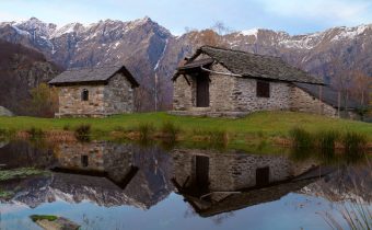
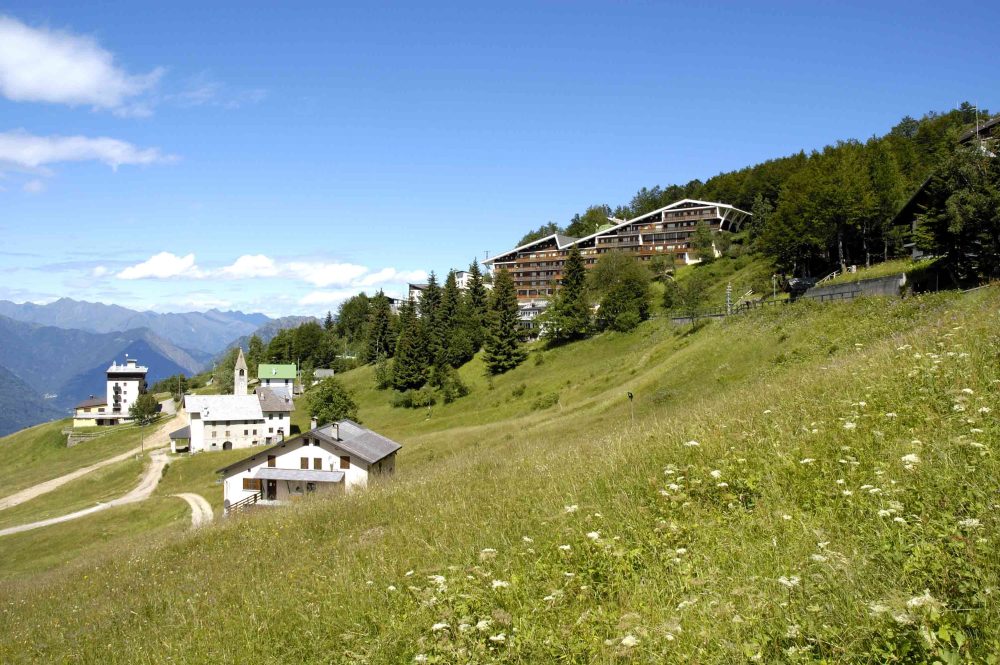
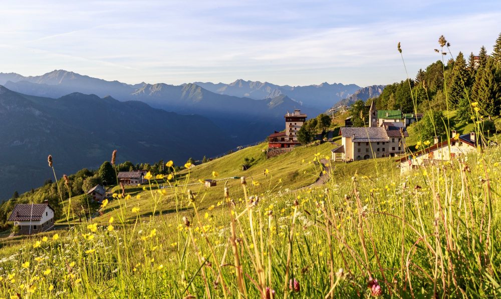
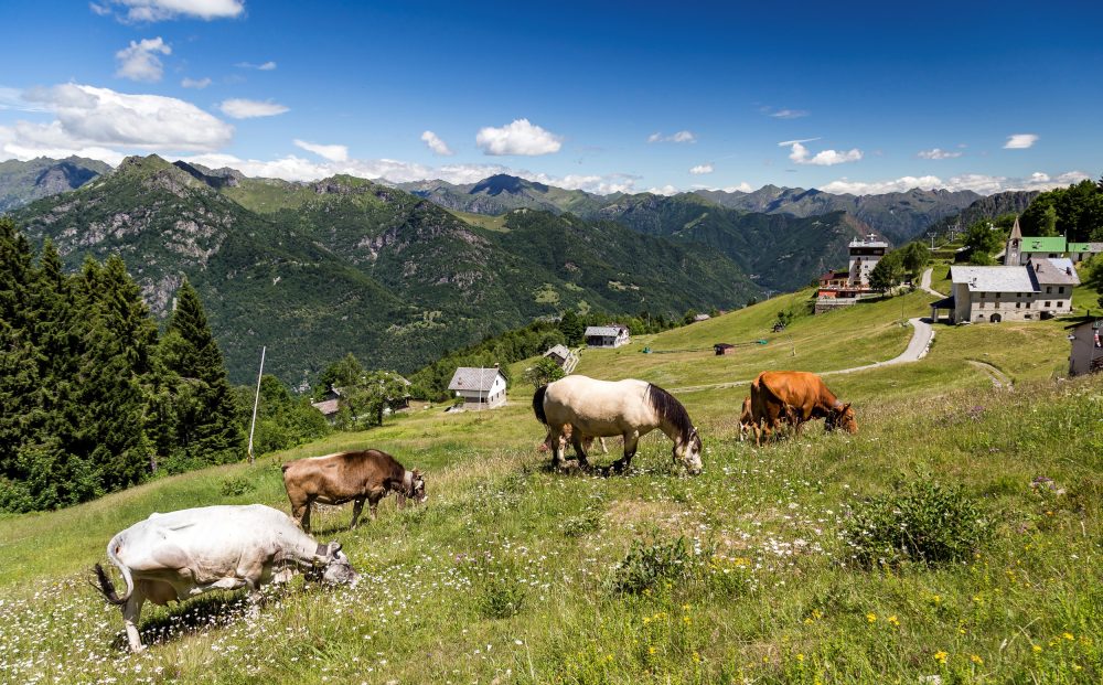
We then cross the meadow of Alpe Ruscàa, 1370m to reach Alpe Ciotto di Sopra, 1385m. The trail proceeds uphill in a southerly direction and enters the beautiful pastures of Alpe di Mera, heading for the little church of Madonna della Neve, 1503m.
From the oratory continue on the road that climbs to the right, passing under some houses and apartment buildings of Mera, until you reach Alpe Campo, with a cozy restaurant, a pond and a very fun playground for children!
From here you continue with a fair climb, approach the spring of Pian d’Asnin, 1600m, lined with rhododendron bushes, and reach Colma dei Lavaggi, 1720m.
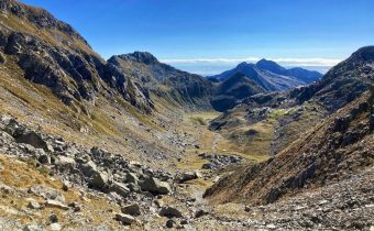
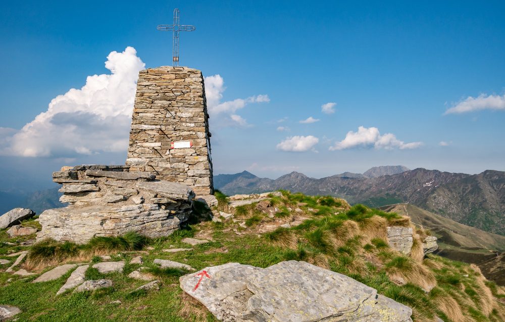
The route now follows the edge of the ridge reaching Cima d’Ometto, 1911m. At the summit there is a stone construction, on which rests an iron cross.
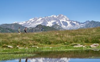
From the summit the view of Monte Rosa and the entire Alpe di Mera, as well as the surrounding valleys, is unique and spectacular! Three ridges branch off from here: the North ridge that divides the Mera basin from the Meggiana basin, the East and West ridges that act as a watershed between the Sesia and Dolca valleys. Following the ridge westward, one can easily reach the Crocetta Pass, 1779m.
Other routes
recommended
Valsesia has a lot to offer to hiking enthusiasts
Suggestive trails surrounded by nature that offer breathtaking views: be surprised by the beautiful mountains of Valsesia!