Bike path Balmuccia – Alagna Valsesia
Route / Bike
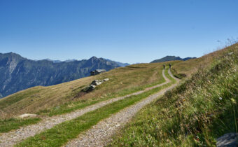
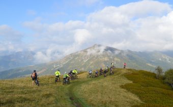
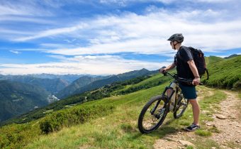
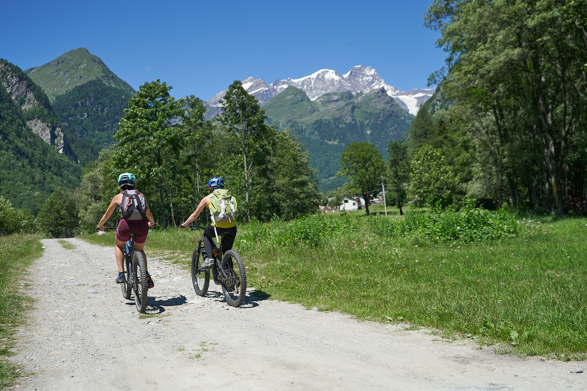
MTB
Bike path Balmuccia -alagna valsesia
Route that crosses the length of Alta Valsesia, passing through the most relevant artistic and cultural sites in the area and arriving in the renowned Alagna, Walser Green Paradise
Difficulty: medium
Distance: 31 km
average duration: 2 hours
highest elevation: 1185 mt
lowest elevation: 553 mt
altitude difference: 772 mt
Route description
On Provincial Road 299 at the height of Balmuccia, you will meet the first yellow sign of the bicycle path. Turning right, continue following the yellow signs to the parking lot of the Balmuccia School or following the signs bearing the name Monrosa, to that of the Monrosa Canoe and Rafting Center.
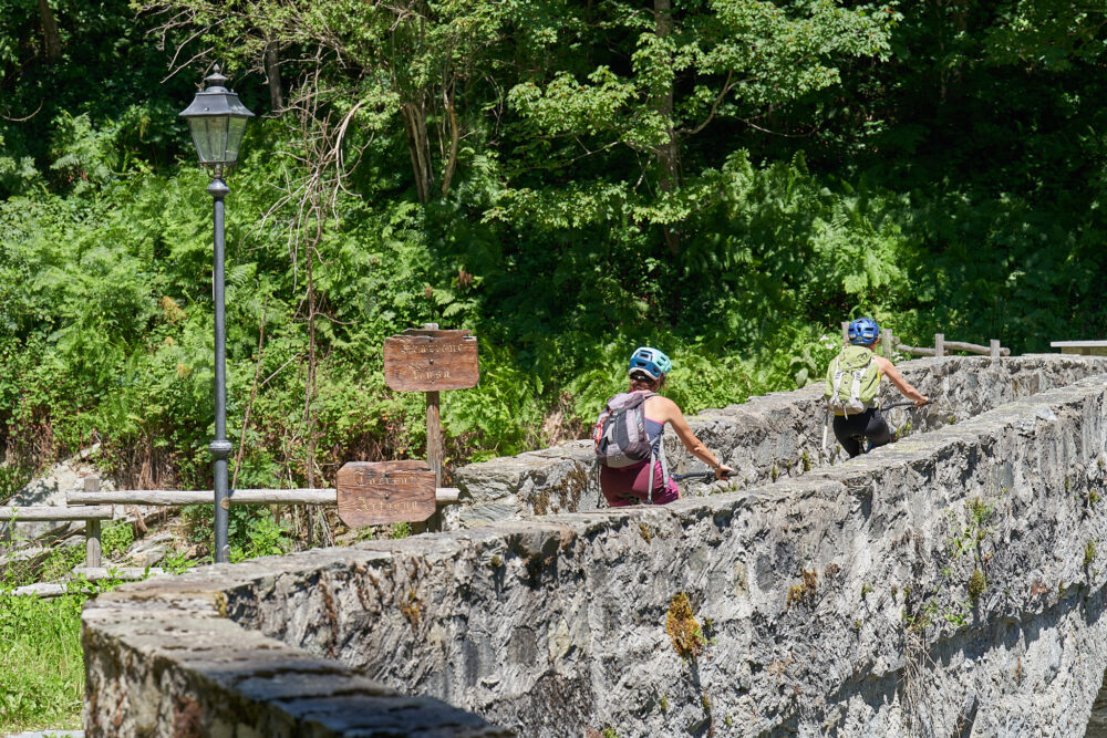
From here starts an interesting trail that, once crossed the bridge over the Sesia, goes into the side of the mountain with a striking view of the canyon below. After overcoming some challenging gradients, it reaches the northernmost bridge that once crossed leads to the village of Scopetta reached by crossing SP 299. From here you travel about 400 meters on the Provincial Road, to follow on the Muro di Scopa bike path. At the height of Scopa, you cross the Provinciale again and then take the orographic left side of the Sesia again until you cross an iron bridge.
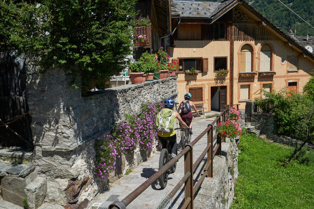
From here you recover altitude with a challenging drop through chestnut woods to descend again in the hamlet of Chioso reaching Scopello. A stretch of about 1 km. on asphalt road leads to the entrance of the wide path that, smoothly reaches Piode on the orographic right side of the Sesia. From here you reach Quare Bridge after passing a larch forest. After 100 m in the direction of Rassa, on the right you take a paved road that descends on the flat and crosses wide meadows and farmsteads for almost 2 km.
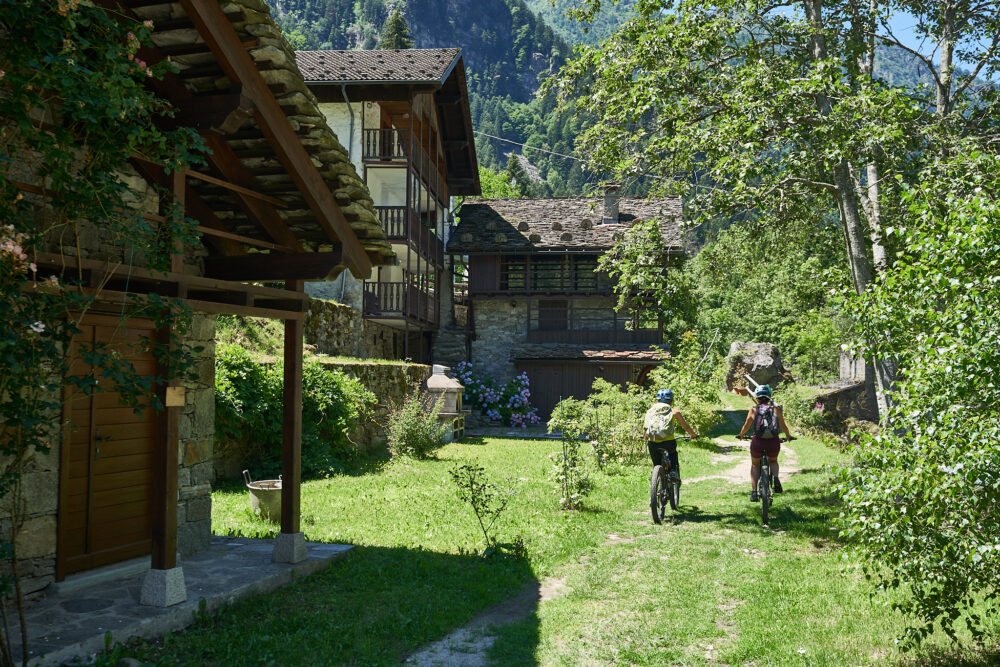
When you reach Campertogno, leave the Sesia on the right and climb on a paved road to the pretty hamlet of Rusa. From here you re-enter a path through the woods that leads to Mollia and continue with moderate gradient in a contour of lush vegetation to Otra Sesia. From this point take the generous dirt road recently made within a spectacular and impressive larch forest. After overcoming a couple of challenging but short gradients, you reach the Isolello bridge, which, with a steep, short cemented ramp, leads to the bridge that crosses the Sesia, returning to the orographic left side of the river.
Continuing on a wide and easy dirt road, in places covered with a grassy carpet, you reach the hamlet of Balma di Riva Valdobbia and from here continue without particular difficulty to the small bridge leading to the Circonvallazione. The sign on the left of the last yellow sign allows you to reach the center of Alagna.
For those who do not wish to travel the full 35 km, it is possible to access the route in the villages of Scopa, Scopello, Piode, Campertogno, Mollia, and Riva Valdobbia. Each access is marked by a yellow sign posted on SP 299. The distances of the individual sections measure an average of 5 km.

Other paths
recommended
Discover the bike trails Valsesia has to offer!
Bike and Mtb excursions through breathtaking views surrounded by the nature of Valsesia