Mera bike path
Mera bike path
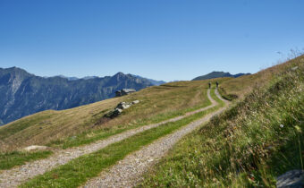
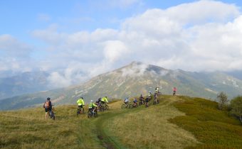
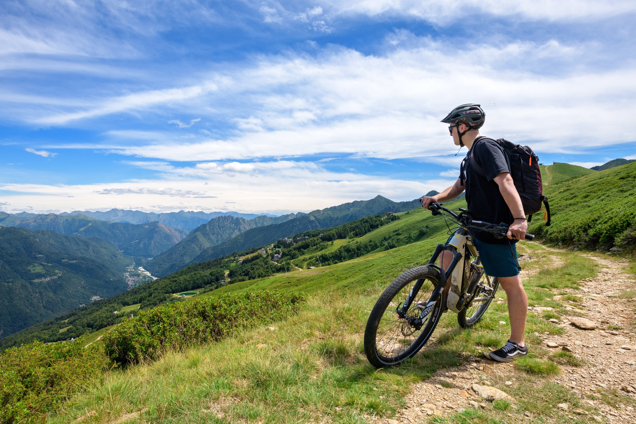
Loop bicycle and pedestrian route that crosses the most picturesque and panoramic points of Alpe di Mera, with views of Valsesia and Monte Rosa.
Difficulty: EASY
Distance: 4.3 km
average duration: 1.5 hours
LOWEST POINT: 1511 mt
HIGHEST POINT: 1648 mt
altitude difference: 136 mt
Route description
The trail begins in front of the Scopello-Mera chairlift arrival, where signs guide to Alpe Campo, initially on asphalt road through the village, then on dirt road. From here begins a gradual ascent on trail to Pian d’Asnin. At this point, route 2A meets number 2 (the Mera-Meggiana-Rassa bike path). Signs indicate to ride it in the opposite direction and then at the fork to turn left towards the village of Mera. This section is wide, scenic and almost flat until you reach Boschetto, where a quick descent brings you back to the starting point.
Directions to follow
Yellow signage with stylized cyclist and number 2a from the chairlift station to Alpe Campo and Pian d’Asnin. Yellow signage with stylized cyclist and number 2 from the Pian d’Asnin-cycleway 2 Mera-Meggiana-Rassa intersection (follow the directions in the opposite direction from that indicated by the arrows).
Come arrivare
Info e contatti utili
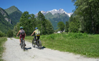
To reach the start of the route take the Valsesia SP 299 to Scopello, where you can park your car for free in the Piazzale Seggiovie and take the chairlift up to Mera on opening days (see https://www.alpedimera.it/).
Alternatively, you can reach Mera by car from Scopello (9 km). High-altitude parking lots for a fee.
Other paths
recommended
Discover the bike trails Valsesia has to offer!
Bike and mountain bike tours among Valsesia’s breathtaking views.