Bike path Scopello-Mera-Meggiana-Rassa-Scopello
Route / Bike
MTB
Bike path Scopello-Mera-Meggiana-Rassa-Scopello
Difficulty: medium
Distance: 38 km
average duration: 3 hours
Departure altitude: 1441 mt
arrival altitude: 1440 mt
altitude difference: 360 mt
Route description
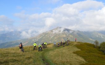
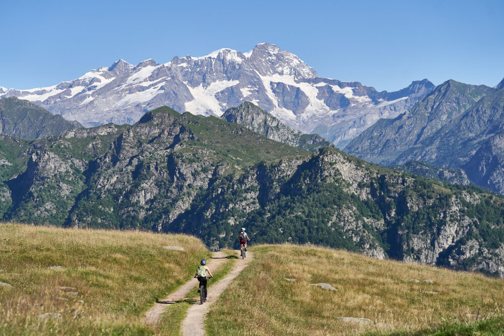
The bike path starts in front of the arrival of the Scopello-Mera chairlift, where a steep ramp leads to the foot of Mount Camparient.
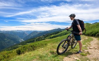
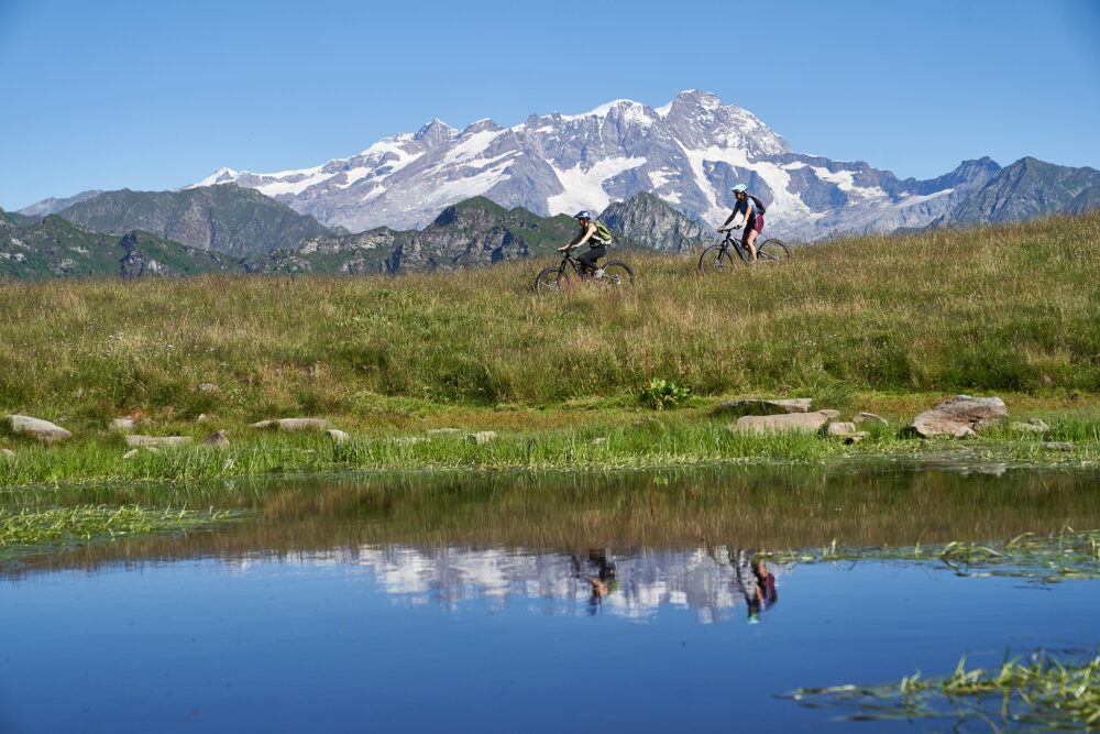
A striking view of Monte Rosa guides the route, which with very small elevation changes crosses the entire Alpe di Mera among magnificent rhododendron and blueberry bushes to Colle d’Ovago, below Monte Ometto.
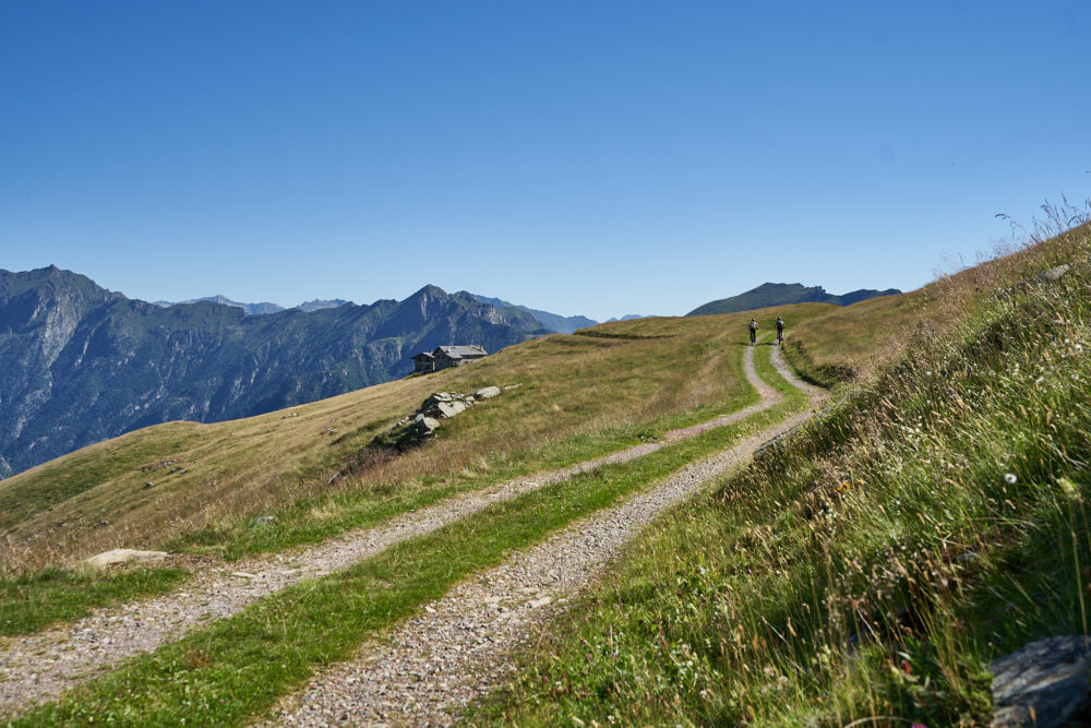
From here you continue at altitude without any particular difficulty until you reach first Alpe Meggiana, at the height of the charming Lake of Pizzo, then with moderate gradient Alpe Sorbella from where you descend with a dozen hairpin bends reaching the bridge that crosses the Sorba stream.
This stretch, although wide, requires for the slope and the bottom an adequate preparation. It is therefore recommended to get off the vehicle by accompanying it on foot.
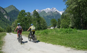
The next section of the dirt road route leading to Rassa is of moderate gradient and presents no particular difficulty. On a paved road, you will come downhill in a few kilometers to the Quare bridge to rejoin itinerary No. 1. At this point it is possible to choose whether to continue toward Alagna or return to Scopello as the more classic route provides.
Other paths
recommended
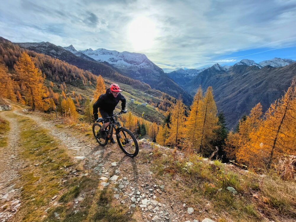
Discover the bike trails that Valsesia has to offer!
Bike and Mtb tours through breathtaking views surrounded by the nature of Valsesia