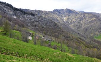
CARCOFORO – Rif. Massero – Colle della Bottiggia
Route / Trekking
Hikes
trail n. 113 Carcoforo – Rif. Massero – Colle della Bottiggia
Difficulty: medium
average duration: 4 hours
departure altitude: 1304 mt
arrival altitude: 2607 mt
altitude difference: 1303 mt
Route description
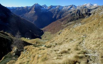
The route to the Bottiggia Pass is the most convenient route between Carcoforo and Macugnaga. It is a long route, but of considerable interest, especially scenic.
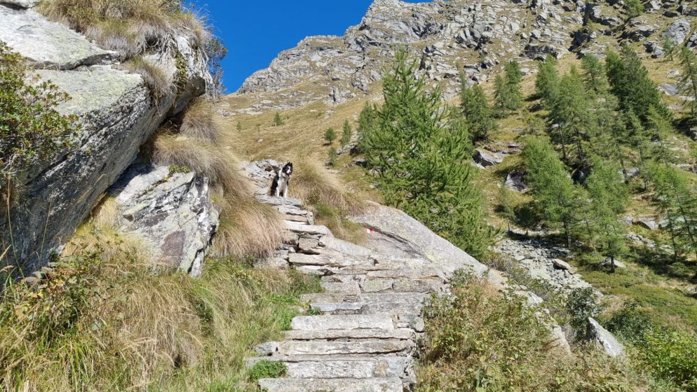
From the parking lot in the village of Carcoforo, past the bridge over the Egua stream, follow the road shared with itineraries 112 and 117 to Alpe Le Coste, where you turn off right onto 117, which leads to Passo della Miniera. Crossing Rio Giovanchera and Rio Fornetto, leave trail 112 on the left, which continues to Colle del Termo. You then take the path through the woods until you reach Alpe Chignolo.
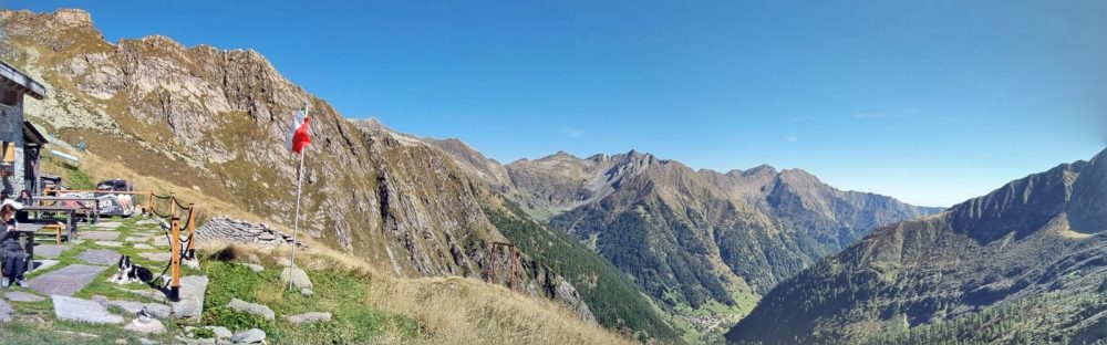
You still zigzag up the steep slope and reach the vast pasture of Alpe Fornetto, 1926m. At the top of the Alpe you reach Rifugio Massero, 2082m, (in about 2h30) open and guarded from June to September.
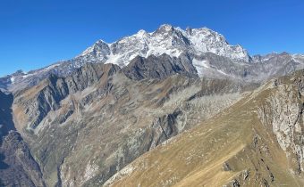
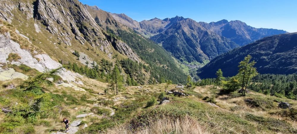
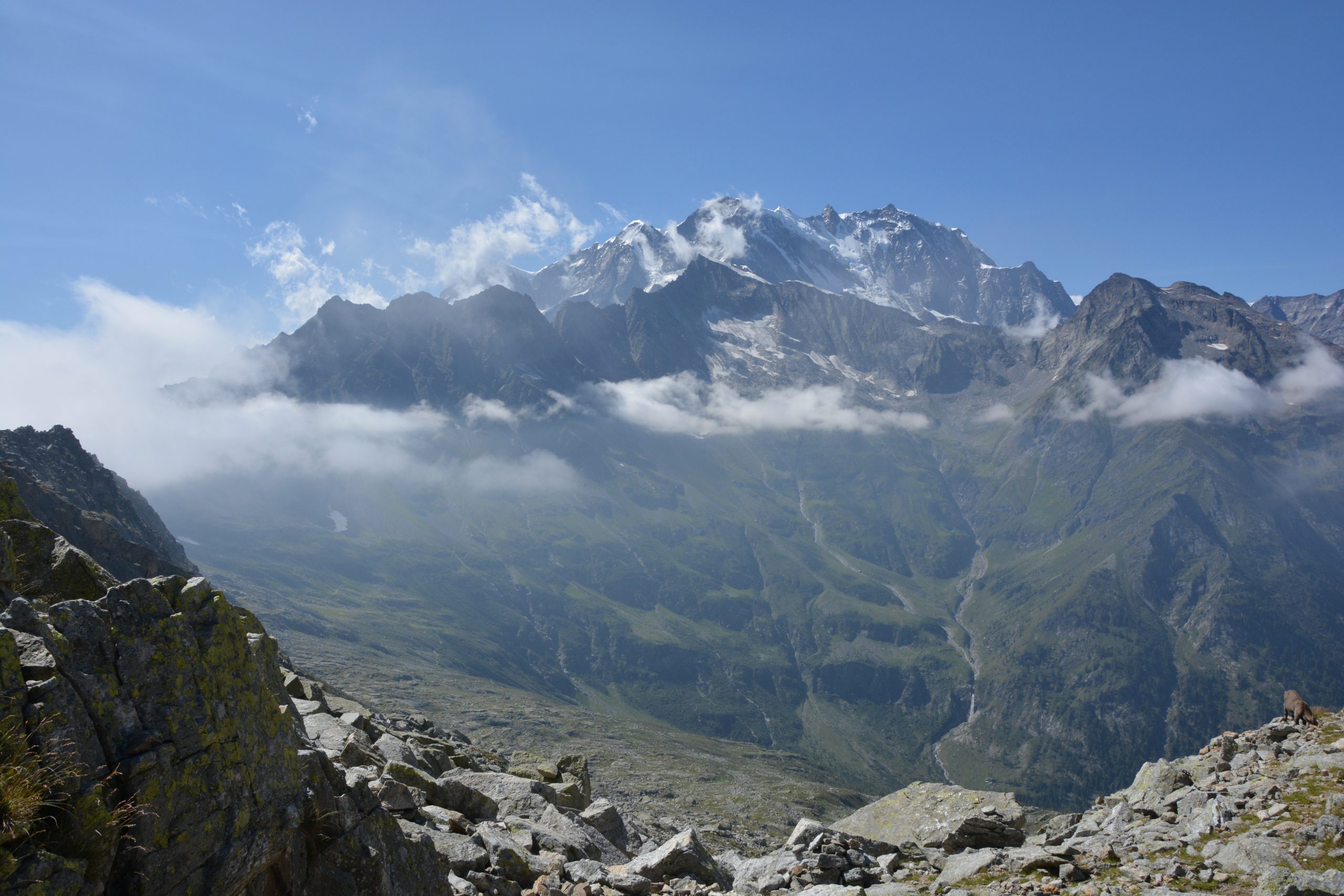
Continue in an open environment among extensive pastures, slabs, rocks and scree. Enter the valley and follow the path towards the depression of the pass that can be glimpsed to the east, dominated to the right by the Torrioni di Val Quarazza, and with arduous ascent you reach the Colle della Bottiggia, (in about 4 hours).
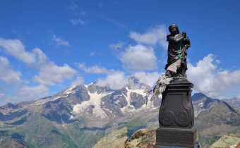
From here there is a stunning view of Val Quarazza and the south and east faces of Monte Rosa.
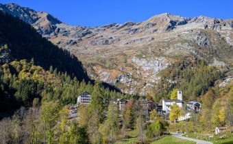
From the pass you can descend to Alpe Schena, 2005m, then to Borca, hamlet of Macugnaga (trail B98A).
Other routes
recommended
Valsesia has a lot to offer to hiking enthusiasts
Suggestive trails surrounded by nature that offer breathtaking views: be surprised by the beautiful mountains of Valsesia!