RIMA – Colle del Termo
Route / Trekking
Hikes
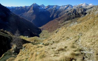
trail n. 293 Rima – Colle del termo
Difficulty: medium
average duration: 2 – 3 hours
departure altitude: 1411 mt
arrival altitude: 2351 mt
altitude difference: 940 mt
Route description
It is the classic traverse route between Rima and Carcoforo. It is part of the GTA (Great Traverse of the Alps), the Great Walser Trail, the Via Alpina and the Cai Italy Trail.
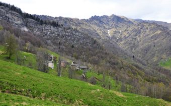
From the back of the church located in Rima, 1411m, a beautiful mule track leaves the village heading east, and climbs in hairpin bends through the woods and reaches Alpe Chiaffera or Ciaffera, 1706m, in about an hour. It continues through coniferous forest to a very steep grassy slope with short, numerous narrow hairpin bends until it comes out on Colle del Termo, 2351m, (in about 2h30).
From here you can comfortably descend to Carcoforo by taking trail No. 112.
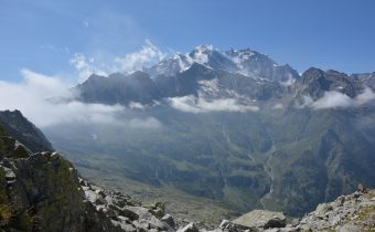
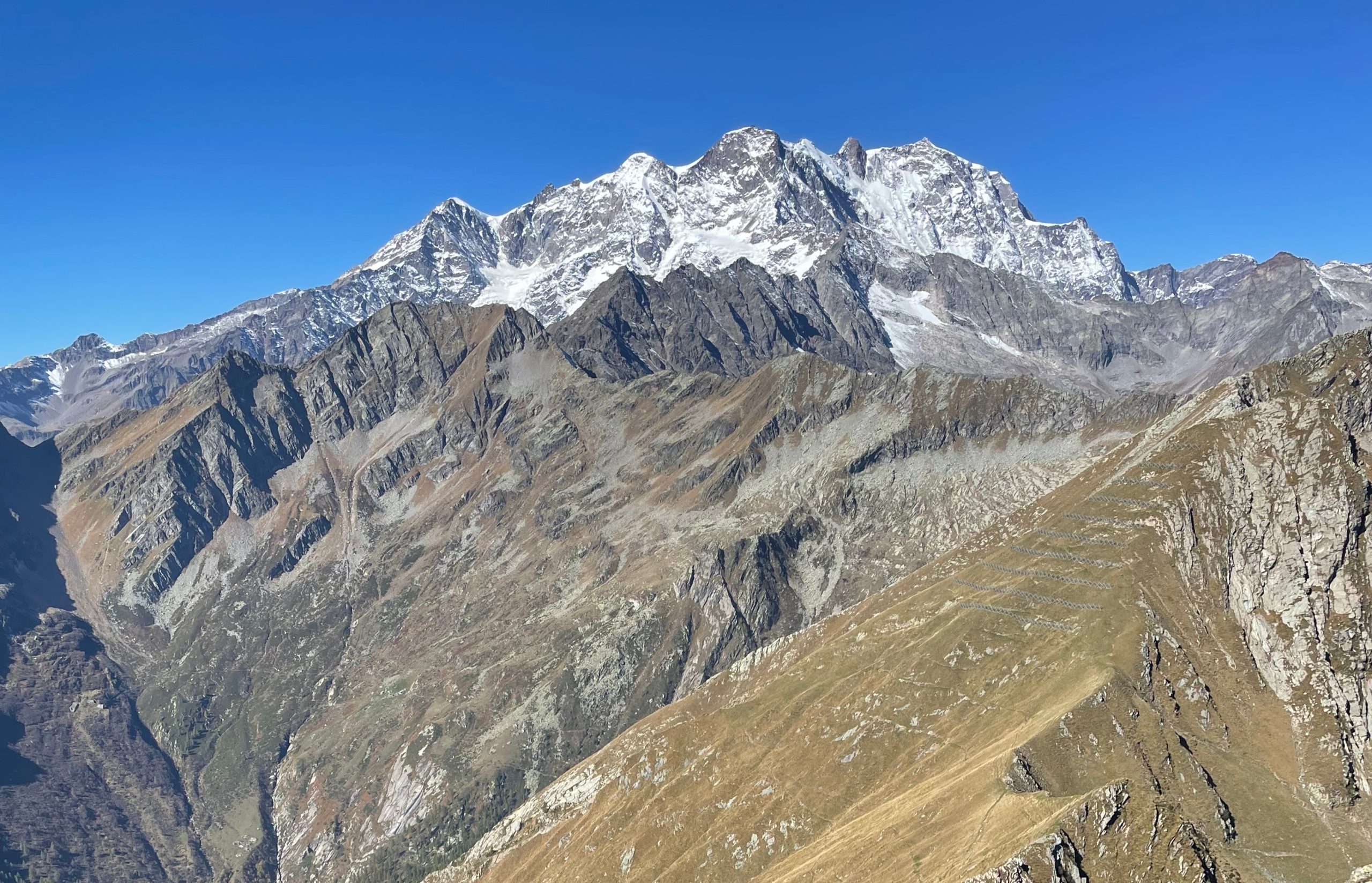
Turning right you can reach Cima Lampone, 2586m (caution: mountaineering path), while to the left, following the ridge with an unmarked path, you can climb to Cima del Tiglio, 2545m.
Other routes
recommended
Valsesia has a lot to offer to hiking enthusiasts
Suggestive trails surrounded by nature that offer breathtaking views: be surprised by the beautiful mountains of Valsesia!