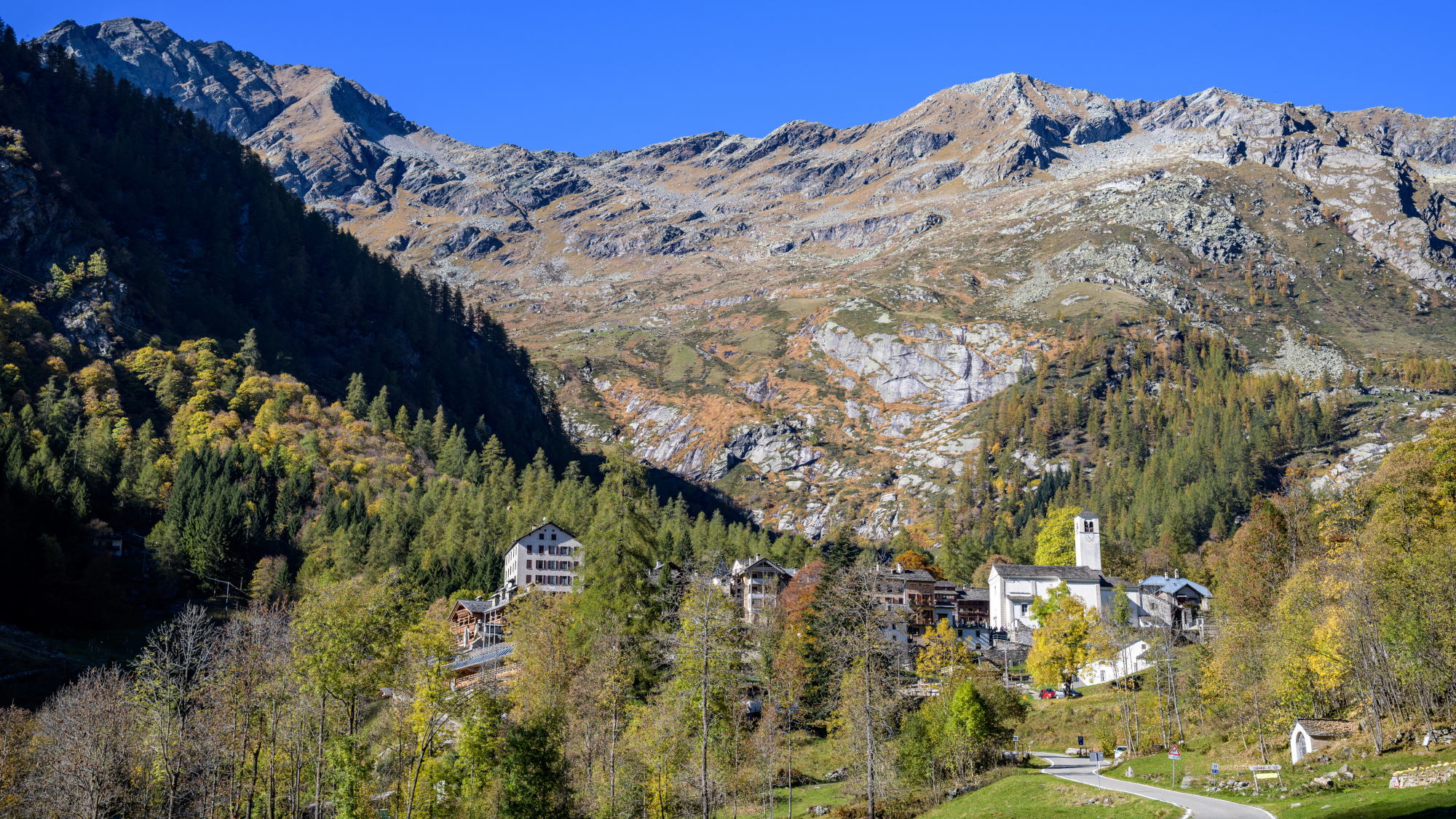
RIMA – Colle del Vallè
trail n. 291 Rima – Colle del Vallè
Difficulty: medium
average duration: 3 hours
departure altitude: 1411 mt
arrival altitude: 2625 mt
altitude difference: 1214 mt
Route description
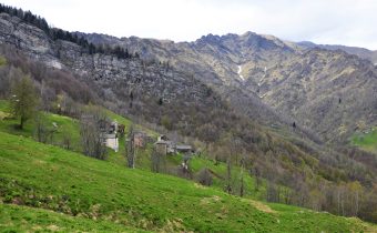
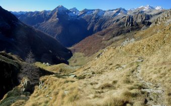
From the square in Rima, 1411m, cross the village, take the mule track and heading out to the pastures, head moderately uphill on the left bank of the stream. You ford the Croso del Vallé and continue on the right bank. From here the slope becomes steeper and shortly afterwards you pass Alpe Vallaracco at an altitude of about 1600m.
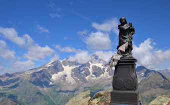
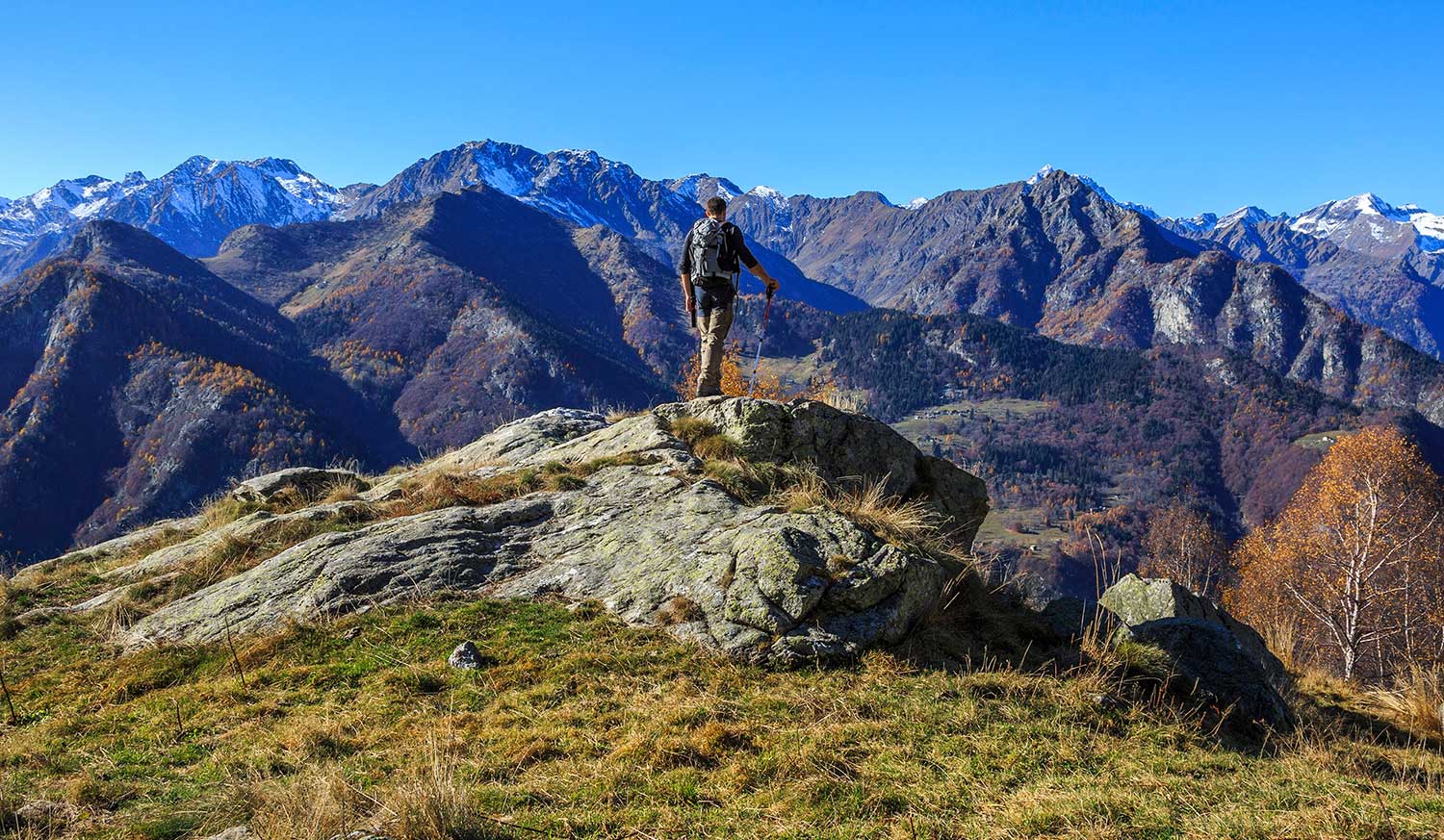
You pass through a larch grove and numerous rhododendron bushes and reach Alpe Brusiccia, 1943m, where there are excellent panoramic views of the valley floor. You leave the alp by taking the mule track to the right along which, at an altitude of 1988m, there is a small chapel.
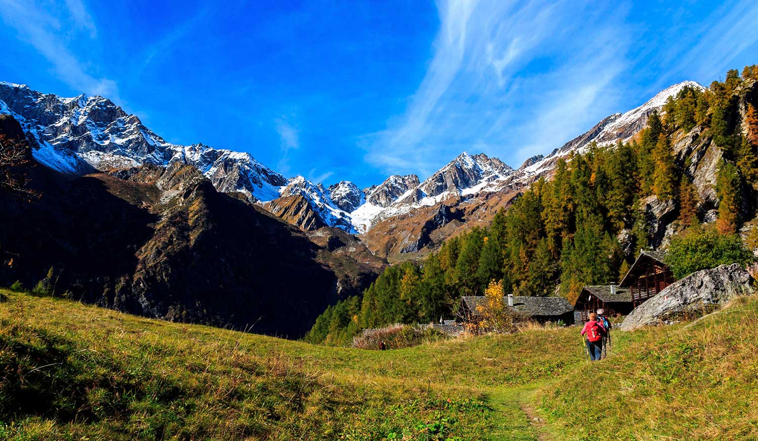
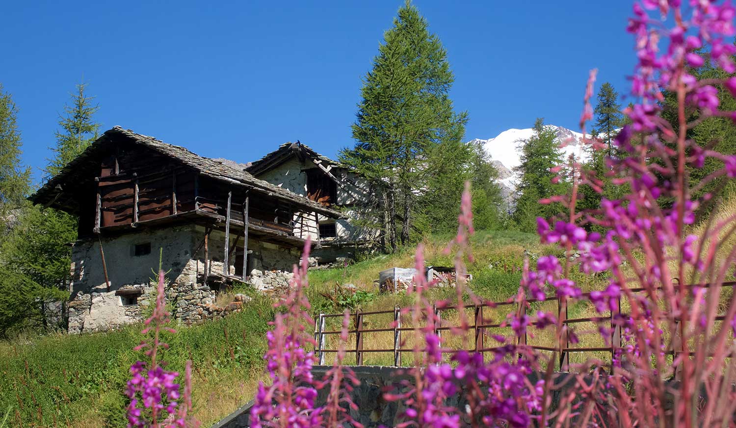
Continuing on you reach Alpe Vallezö, 2167m, characterized by some characteristic huts. After a short flat section you reach the buildings of Alpe Vallè di Sopra, 2175m, where the Vallè hut owned by the Alta Valsesia Natural Park is located.
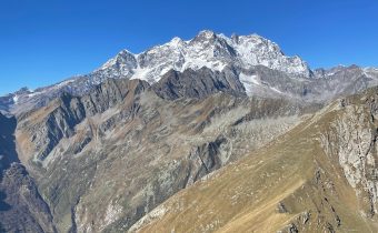
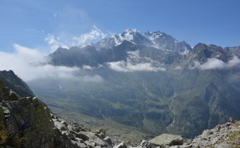
At the back of the alp you climb north through pastures and rocks where the path is not always clearly visible. Follow the signs to the upper part of the valley. Passing the scree, you reach the final slope and narrow notch of Colle del Vallè, 2625m, (total about 3h30).
This trail leads to one of the passes between Val Sermenza and Valle Anzasca, rarely taken as a traverse because the easier and more practical Colle del Piccolo Altare is preferred.
From the pass one can traverse at high altitude to the Colle della Bottiggia and descend to Val d’Egua and Carcoforo.
Other routes
recommended
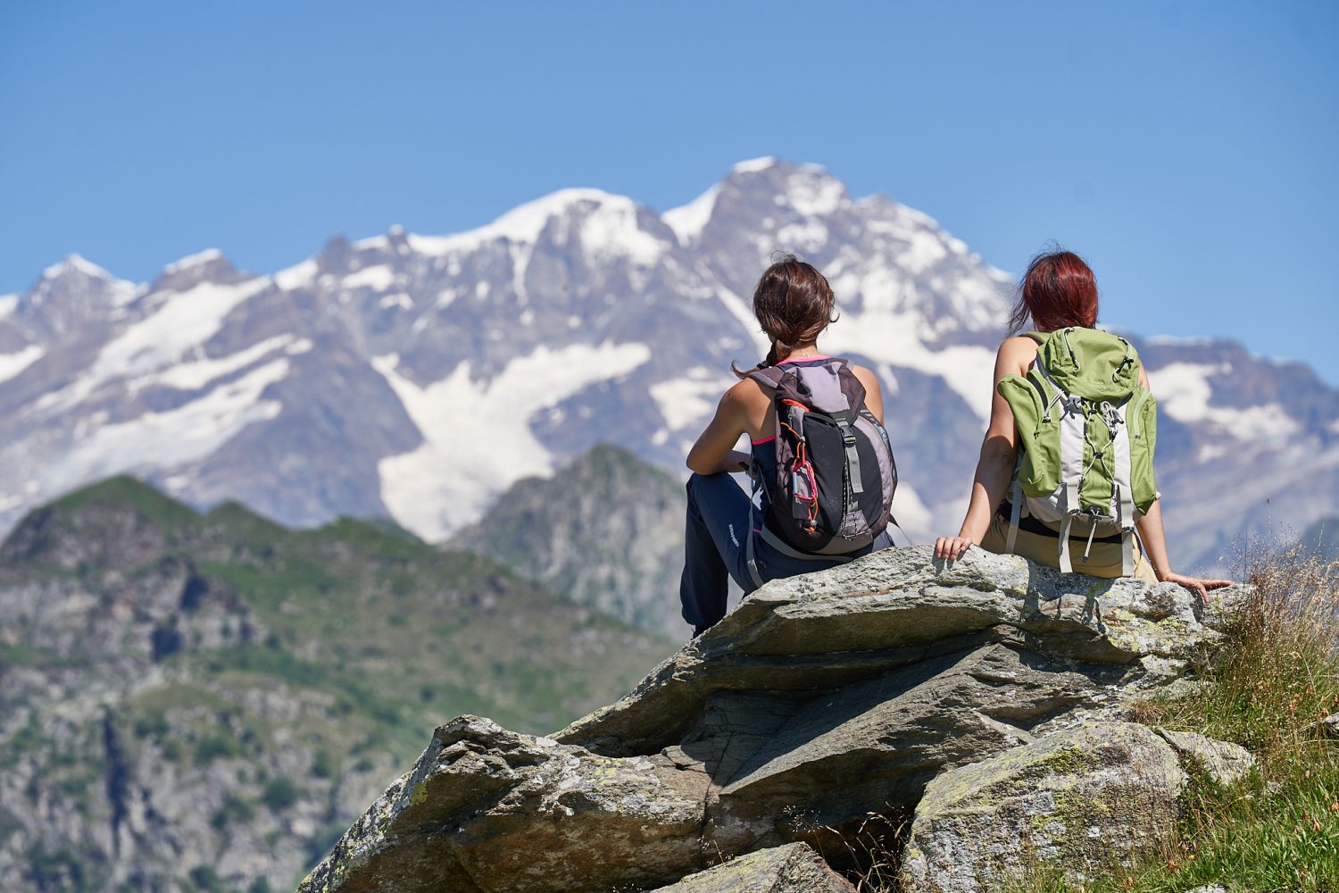
Valsesia has a lot to offer to hiking enthusiasts
Suggestive trails surrounded by nature that offer breathtaking views: be surprised by the beautiful mountains of Valsesia!
