RIMA – Monte Tagliaferro
trail n. 318 Rima – Monte Tagliaferro
Difficulty: EE – Experienced Hikers
average duration: 4 hours
departure altitude: 1411 mt
arrival altitude: 2964 mt
altitude difference: 1553 mt
Route description
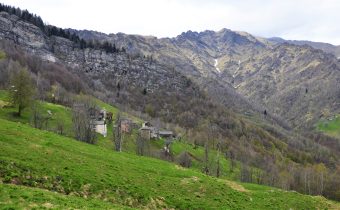
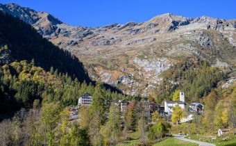
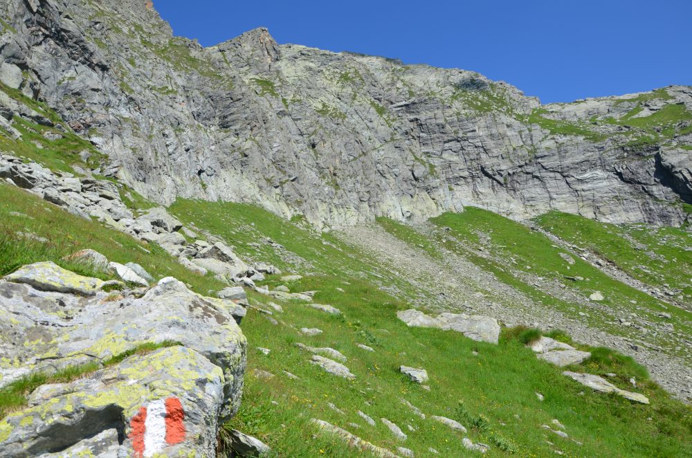
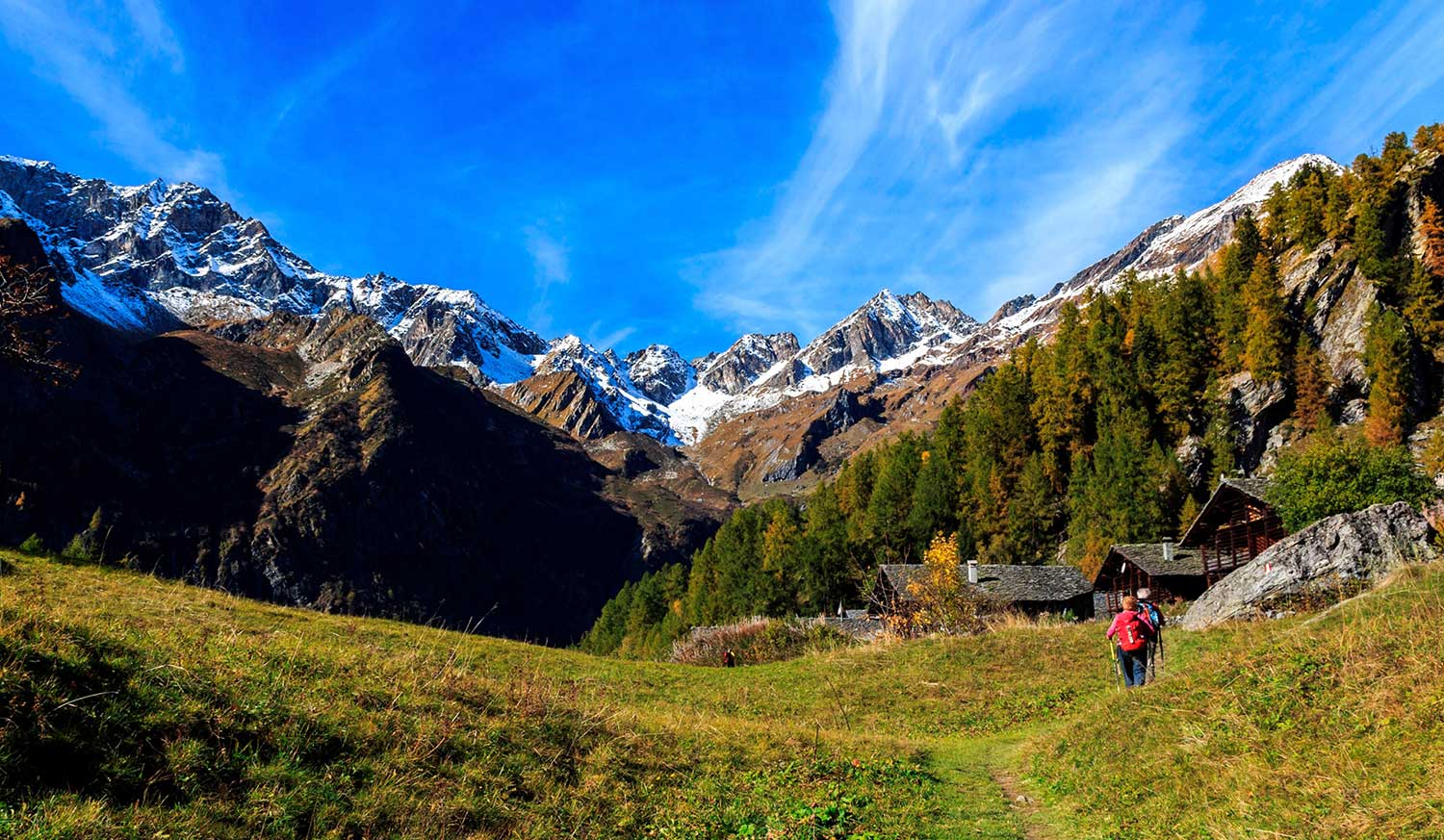
The route starts from the village of Rima, 1411m, and the first part of the trail is shared first with the 292 mule track to the Little Altar Pass, and then with the 296 to the Mud Pass, up to an elevation of about 1700m (in about 30/45min). Abandoning the mule track, take trail 318, which drops off to the left, crosses the Rio Valmontasca and continues on level ground to Alpe Scarpia di Sotto, 1712m.
Proceed diagonally uphill to reach Alpe Scarpia di Sopra, 1916m. From the alpine pasture move left and reach a large boulder near which flows a spring and on which is placed a plaque. Climbing to the left through pastures and slabs we reach Vallarolo Pass, 2332m.
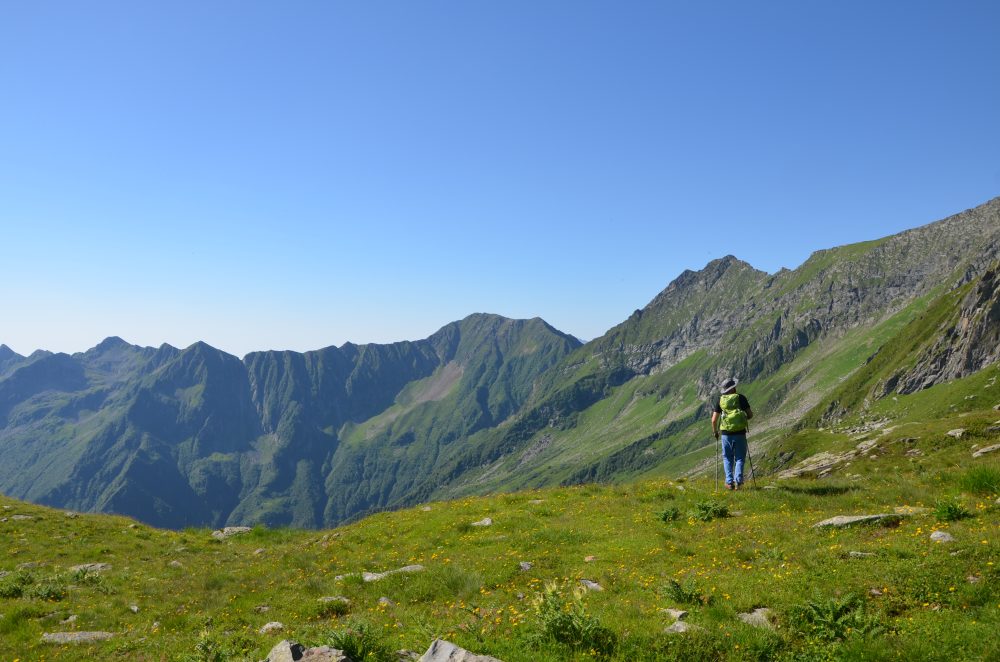
Our route points west instead and reaches a giant boulder that provides precarious natural shelter. The trail accentuates the slope until it takes you below the vertical of a very steep grassy slope for which, with narrow, exposed switchbacks, you gain the Passo del Gatto, 2730m, (in about 3 hours). On the opposite side climbs the track from Bocchetta della Moanda, recently equipped by Alagna guides; EEA.
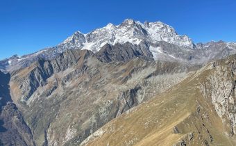
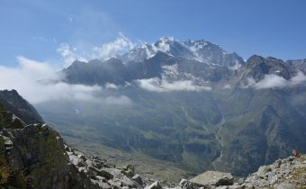
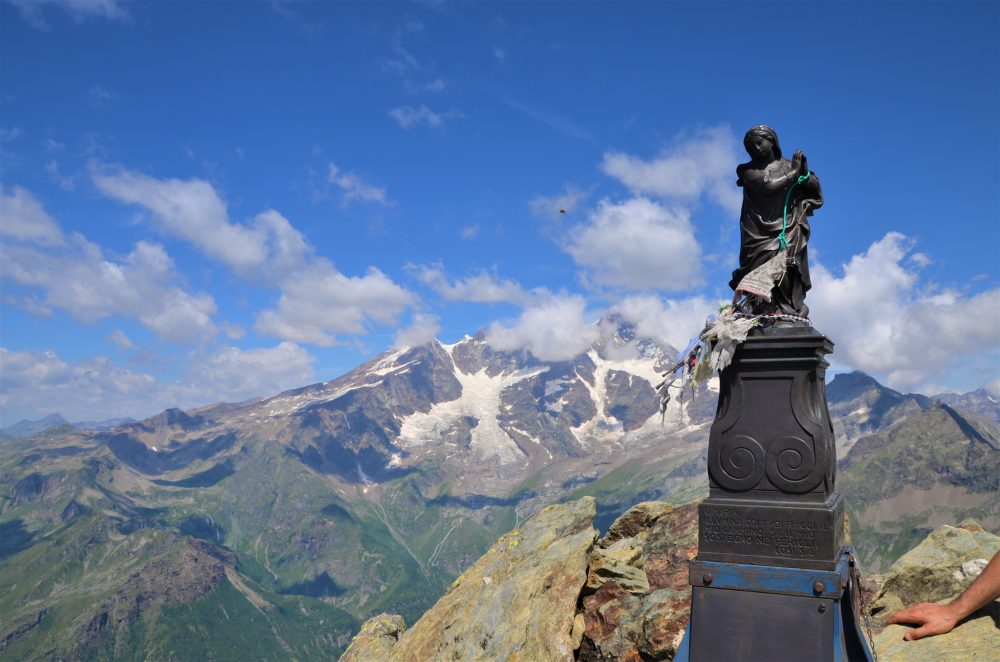
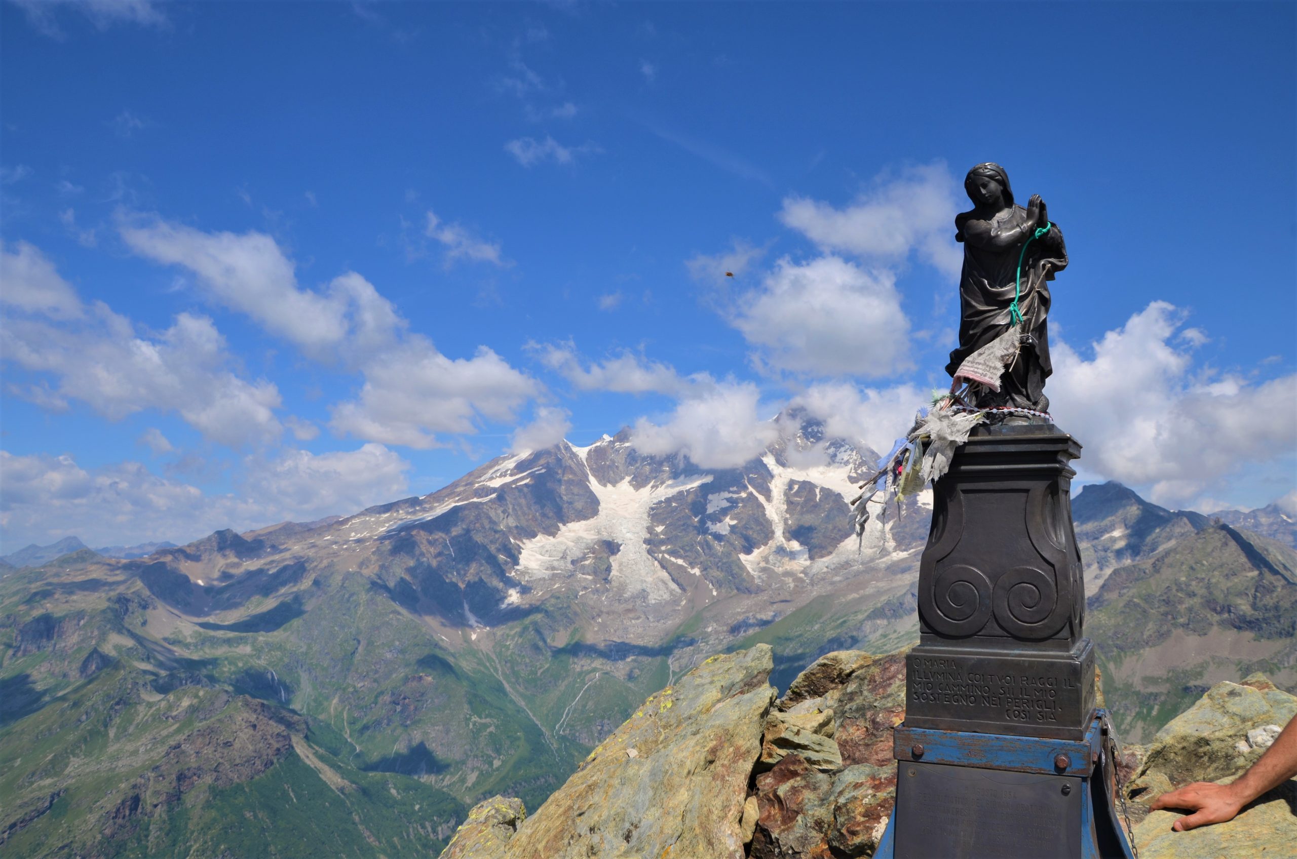
Turning right, follow the trail that cuts across the steep mountainside and reaches the ridge of rocks and boulders that leads to the summit of Mount Tagliaferro, 2964m, (in about 4 hours total). From the summit the view is unique and breathtaking, a veritable window looking directly into Monte Rosa!
Other routes
recommended
Valsesia has a lot to offer to hiking enthusiasts
Suggestive trails surrounded by nature that offer breathtaking views: be surprised by the beautiful mountains of Valsesia!
