RIVA VALDOBBIA, Fraz. Sant’Antonio – Colle Valdobbia, Rifugio Ospizio Sottile
Route / Trekking
Hikes
trAIL n. 201 sant’antonio – colle valdobbia, Rifugio Ospizio Sottile
difficulty: medium
average duration: 3-4 hours
departure altitude: 1380 mt
arrival altitude: 2480 mt
altitude difference: 1100 mt
Route description
The Valdobbia Pass, located at 2480 meters above sea level, allows communication between two regions and two valleys: the Valsesia and the Aosta Valley. The Vogna Valley, with its mild climate, favored the settlements of Walser colonists coming from Gressoney in the 1300s: emigrants, shepherds, merchants, soldiers, nobles and rulers traveled this important passage for centuries. The crossing often proved risky, due to darkness, fatigue, cold and fog. It was precisely for this reason that Canon Nicolao Sottile, understanding the plight of the Valsesian emigrants, undertook the project of erecting a hospice at the pass: the still-present and popular Rifugio Ospizio Sottile, opened in 1833. This route is part of the Gta (Great Traverse of the Alps), the Via Alpina and the Sentiero Italia Cai.
The road to Colle Valdobbia historically started from Riva Valdobbia, 1112m, and went up the Val Vogna. Now this is crossed by the carriage road leading to the hamlets of Ca di Janzo and Sant’Antonio, where you can park your car (arrival point of the Ca di Janzo – Sant’Antonio summer shuttle).
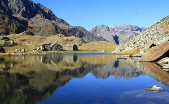
Starting on foot on the dirt road past the houses and the hamlet’s small church, follow the old path to Aosta with the 201 marker. At the end of the dirt road you reach the hamlet of Peccia, with its characteristic Walser houses and beautiful small lake..
Continuing on the path to the right that passes between the small houses, just beyond the small church of the Oratory of San Grato, you pass the old Napoleonic-era bridge (reachable in about an hour from Sant’Antonio). Immediately afterwards, leaving the path to the left that leads to Alpe Maccagno, 2493m, climb to the right on the path that leads to La Montata, 1638m.
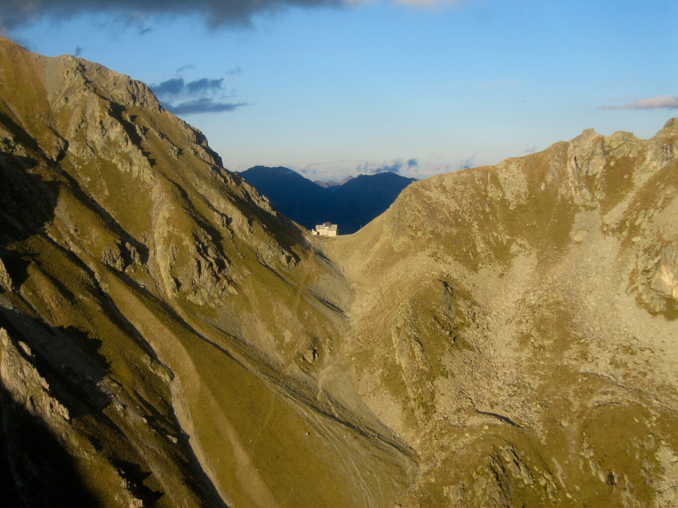
Passing the two huts of Alpe Tecchiale, climb to the small chapel of Lancone, 1739m. Further up, inside the larch grove, leave itinerary 201a on the left that leads to Alpe Larecchio, and to the Piano del Celletto variant. You then take the path that turns right, then crossing the Valdobbia stream on a bridge. You then ascend with a wide loop to Pian del Celletto (where you rejoin trail 201a coming from Alpe Larecchio). Past a hump, there it appears, still far up the hill, the Ospizio Sottile!
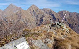
We continue through the plains called Piana Grande and Sasselli dell’Asina, until we enter the final gully, which we traverse with a few hairpin bends, finally reaching the Valdobbia Pass, 2480m, on which the Ospizio Sottile is located (total about 3h30).
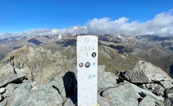
Ospizio Sottile is the base for ascents to Cresta Rossa, 2986m, Corno Valdobbia, 2755m, Punta Plaida, 2689m, and Punta Carestia (or Corno Rosso), 2979m. Although off-center, it can also be used for ascents to Corno Bianco, 3320m, and Punta Ciampono, 3233m. Route 11 takes you down to Valdobbia (Lys Valley), just downstream from Gressoney.
Other routes
recommended
Valsesia has a lot to offer to hiking enthusiasts
Suggestive trails surrounded by nature that offer breathtaking views: be surprised by the beautiful mountains of Valsesia!