CERVATTO – Madonna del Balmone
Route / Trekking
Hikes
trail n. 507 Cervatto – Madonna del Balmone
Difficulty: medium – easy
average duration: 1 hour
departure altitude: 1033 mt
arrival altitude: 1363 mt
altitude difference: 330 mt
Route description
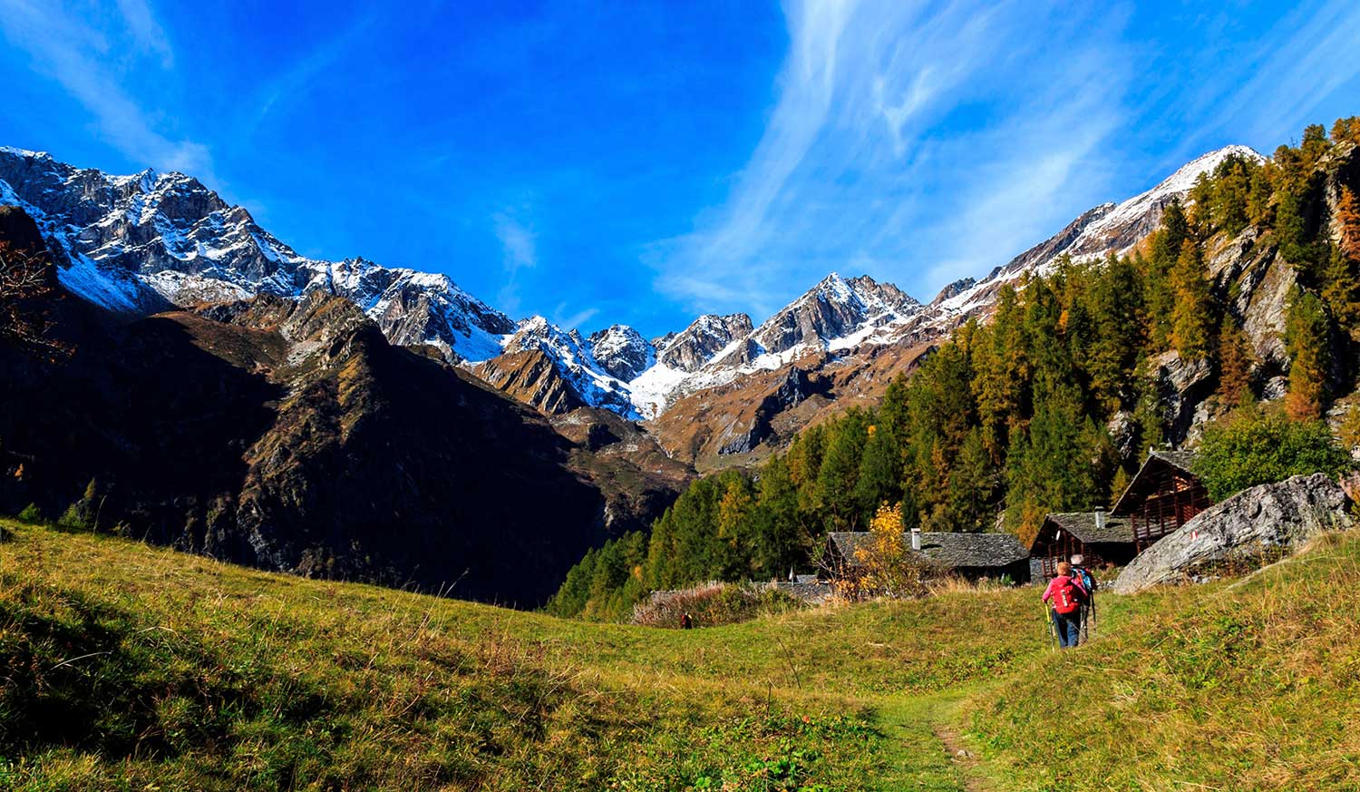
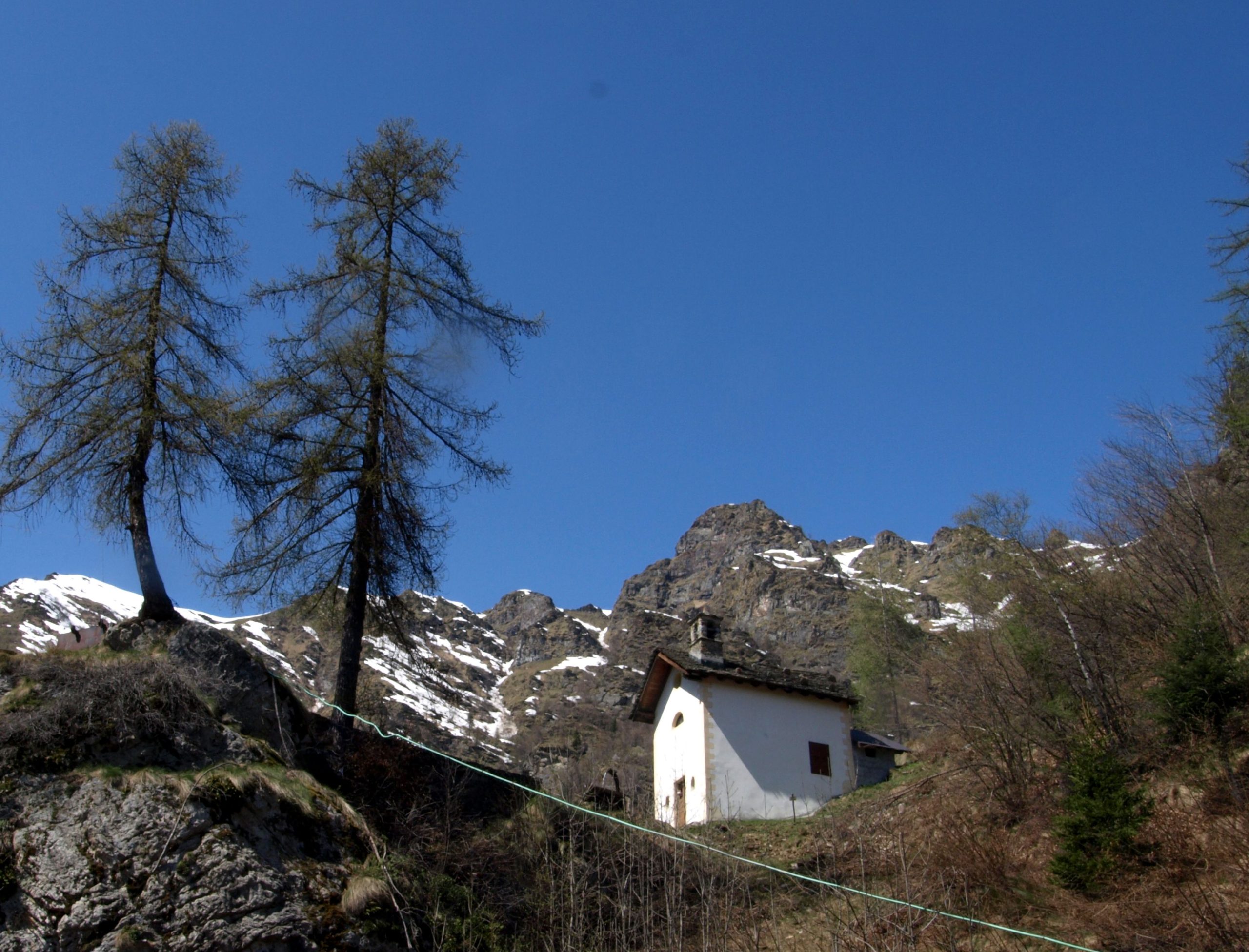
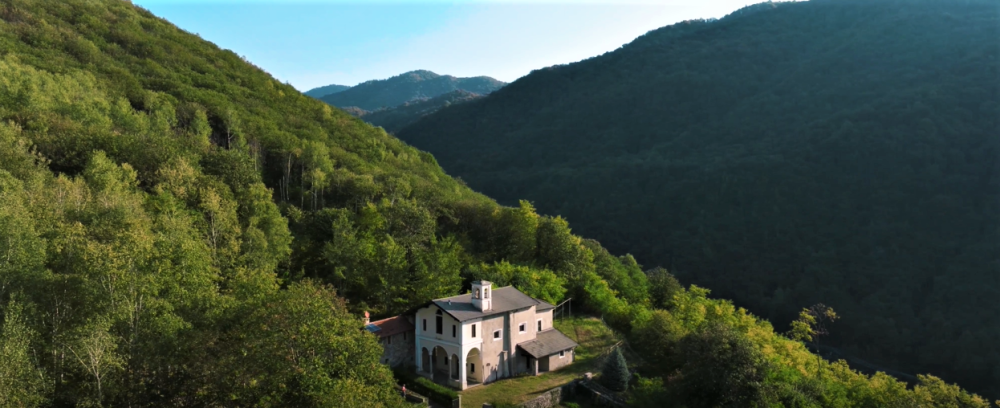
This route partly coincides with the “Art Trail.” It touches on pretty hamlets and numerous oratories to arrive at the charming mountain shrine of Madonna del Balmone.
The itinerary starts from the village of Cervatto,1002m, traveling by road, approximately in 15 minutes, along Route 501 to Giavina, 1033m.
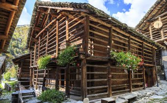
Here you start walking along the mule track on the right. You pass under the Consolata Oratory and shortly arrive at the small hamlet of Orlino, 1101m. Here several are the characteristic houses developed on many floors so as to make the most of the modest building area.
You then pass by where the church dedicated to St. Martin stands and enter the forest on a continuous ascent among oaks, firs and beeches to reach the small church of Saints Peter and Paul, 1184m.
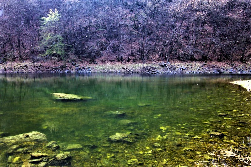
One enters the valley dominated by Punta Castello, 2096m, then climbs gently there finding oneself in a short time in the meadows of the hamlet Taponaccio, 1236m. Crossing the surrounding meadows, the trail continues uphill and arrives, preceded by a characteristic renovated hut, at the sanctuary of Madonna del Balmone, dedicated to the Madonna of Oropa.
Other routes
recommended
Valsesia has a lot to offer to hiking enthusiasts
Suggestive trails surrounded by nature that offer breathtaking views: be surprised by the beautiful mountains of Valsesia!
How to get there
Info and contacts
C.A.I. – Club Alpino Italiano di Varallo Sesia
VARALLO, fraz. Corte (Camasco) – Alpe Sacchi
Route / Trekking
Hikes
trail n. 626 Corte (Camasco) – Alpe Sacchi
Difficulty: medium – easy
average duration: 1-2 hours
departure altitude: 800 mt
arrival altitude: 1230 mt
altitude difference: 496 mt
Route description
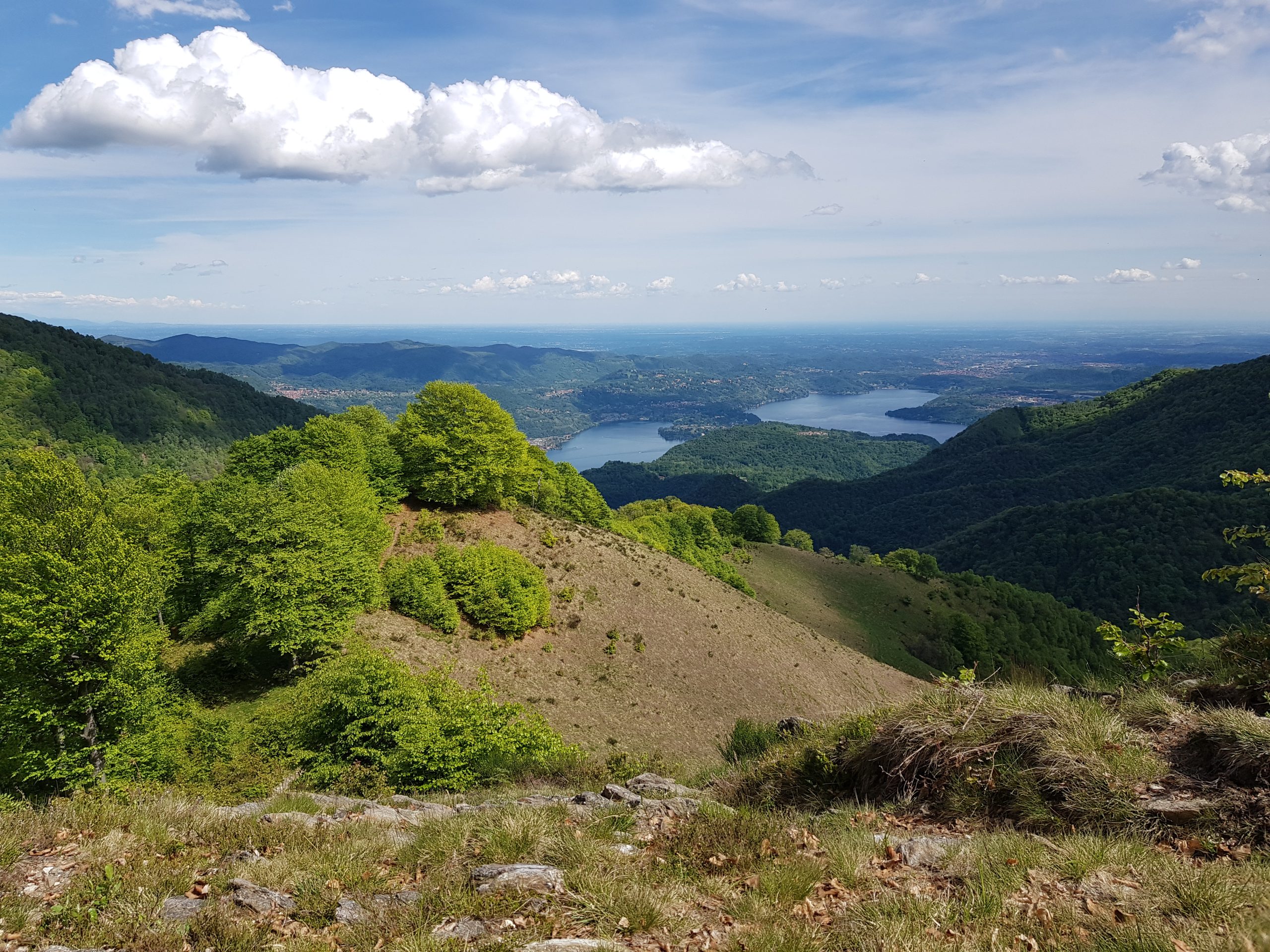
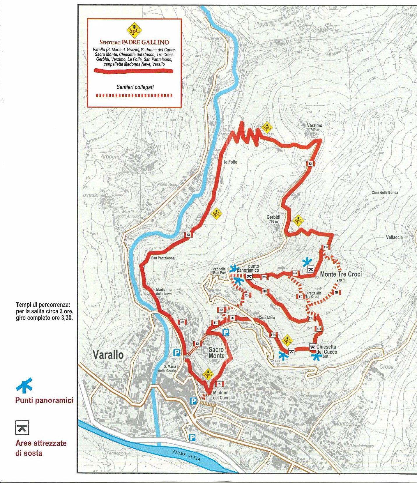
A beautiful trail leading to Alpe Sacchi, a scenic valley directly overlooking the Cusian side, with memorable views of Lake Orta.
The trail begins immediately upstream from one of the hamlets of Camasco, 756 m, Corte. Crossing the bridge, you skirt a fence following a track that leads to the ford of a stream. Arriving at a pasture area, take a left and climb a clearing. The trail proceeds through the forest until you reach Alpe Rüsi, at an elevation of 1100m. You then continue across the dirt road that climbs cutting across the slope to reach Sella delle Sacche, 1296m. Continuing, you then descend briefly to the road coming from Morondo.
Follow the road and you will soon reach Alpe Sacchi, 1230m, where there is a wonderful view of Lake Orta, the mountains of Cusio, Ossola and Ticino, and even a glimpse of the Lombard Pre-Alps.
Alpe Sacchi can also be reached by a paved road from Varallo via Morondo.
Following the ridge northward, one can reach by a route partly on a dirt road and partly on a path, in about half an hour, the Colle del Ranghetto, 1272m.
Other routes
recommended
Valsesia has a lot to offer to hiking enthusiasts
Suggestive trails surrounded by nature that offer breathtaking views: be surprised by the beautiful mountains of Valsesia!
How to get there
Info and contacts
C.A.I. – Club Alpino Italiano di Varallo Sesia
VARALLO – Sentiero di Padre Gallino
Route / Trekking
Hikes
trail Padre Gallino Segnavia 616-spg
Difficulty: medium
average duration: 3 hours
departure altitude: 454 mt
arrival altitude: 919 mt
altitude difference: 465 mt
Route description
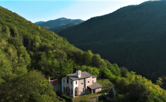
The itinerary connects Varallo to Sacro Monte and the scenic peak of Monte Tre Croci, along an evocative loop trail of great artistic and religious interest. It was realized in honor of Father Giovanni Gallino (1921-1986), a great figure of educator and founder of GRIM (Gruppo Ragazzi in Montagna).
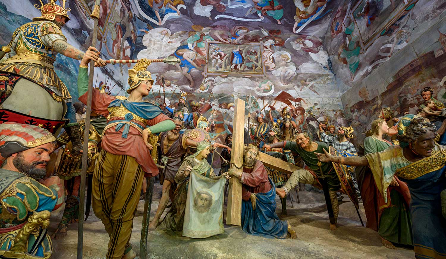
The itinerary begins in Varallo, 450m, near the Church of Santa Maria delle Grazie just after the cable car to Sacro Monte. You take an almost level lane to the right that shortly after climbs to the little church of Our Lady of the Heart and then reaches the entrance square of the splendid Sacro Monte of Varallo, 612m. You cross it on a pleasant climb to take a right onto the mule track located after the guides’ kiosk.
You follow the path until you reach the carriage road. Cross it and climb up the path that leads to the right to an impressive viewpoint and the small church of Cucco. Then proceed uphill taking the path that climbs to the left, and at a junction keep left until you reach the Sasei viewpoint, from where there are views of the Mastallone Valley, Varallo and Sacro Monte.
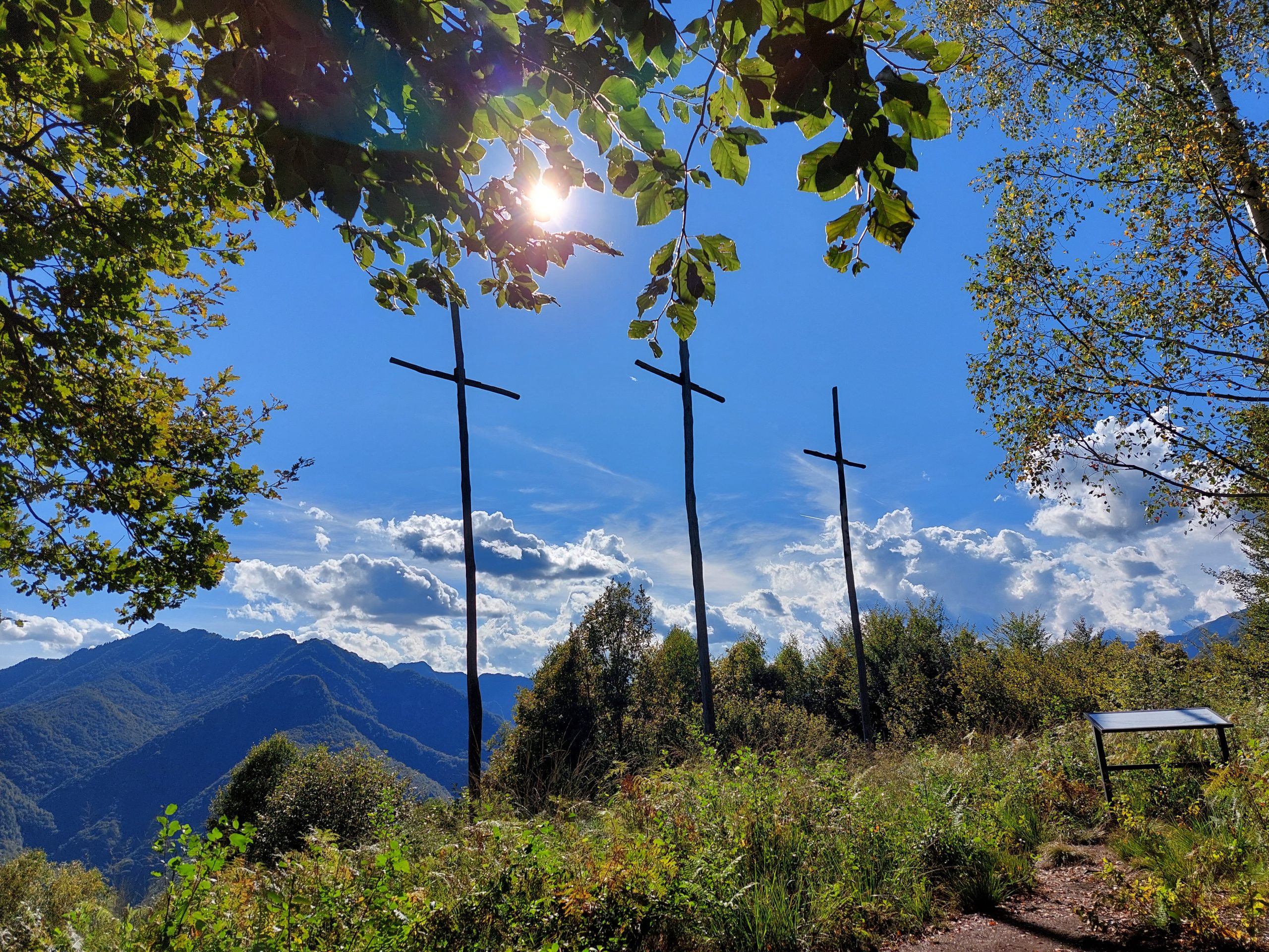
Next, taking the path that climbs steeply into the woods, you reach the summit of Mount Tre Croci, 919m (also reachable from the aforementioned fork by taking a steeper path). From this mountain, characterized by three high crosses, there is a fabulous view of Varallo and the surrounding mountains.
Continuing northward for a stretch on the ridge, you descend to the carriage road near the oratory of Gerbidi. Continuing to the right, you arrive, in about 20 minutes, at the hamlet of Verzimo, 743m.
Just before the church on the left, take the path steeply downhill through the woods that grazes an alpine pasture and reaches the dirt road that approaches a beautiful stream. You then reach the ruined oratory of San Pantaleone.
At last you return to the carriage road near the “Buzzo Bridge,” and staying to the left, along the road, in a few hundred meters you return to the starting point.
Other routes
recommended
Valsesia has a lot to offer to hiking enthusiasts
Suggestive trails surrounded by nature that offer breathtaking views: be surprised by the beautiful mountains of Valsesia!
How to get there
Info and contacts
C.A.I. – Club Alpino Italiano di Varallo Sesia
QUARONA – Lago di Sant’Agostino
Route / Trekking
Hikes
Sentiero n. 624 Lago di Sant’Agostino
Difficulty: EASY
average duration: 1 HOUR
departure altitude: 406 mt
arrival altitude: 492 mt
altitude difference: 86 mt
Route description
The trail begins in the village of Quarona, 406m, more precisely near the Chapel of the Blessed Panacea located on Via Lanzio. You turn left and flank the Prato della Valle. You reach the road that enters the “fossil” valley between Mount Tucri and Poggio Roncacci and Pianale. (On the left you can see the climbing wall “Falesia del Laghetto”).
You leave Cascina Barone on the left and Mount Tucri Route 732 on the right to reach the bottom of the little valley, where there is the lower resurgence of lake waters. Continue up a steep scree slope, and reach the point where a large boulder known as “Sass dij Strij e d’Ava Corna” is visible. , witche’s stone and water gushing from the boulder, under which the upper resurgence of the lake flows out.
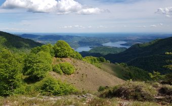
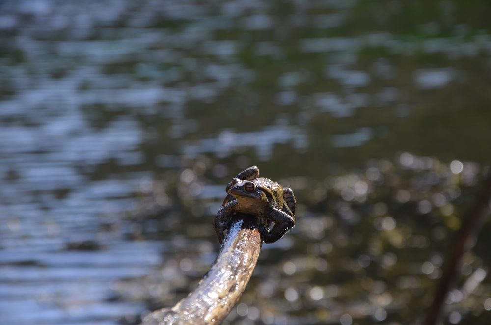
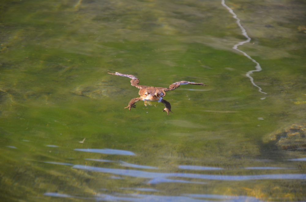
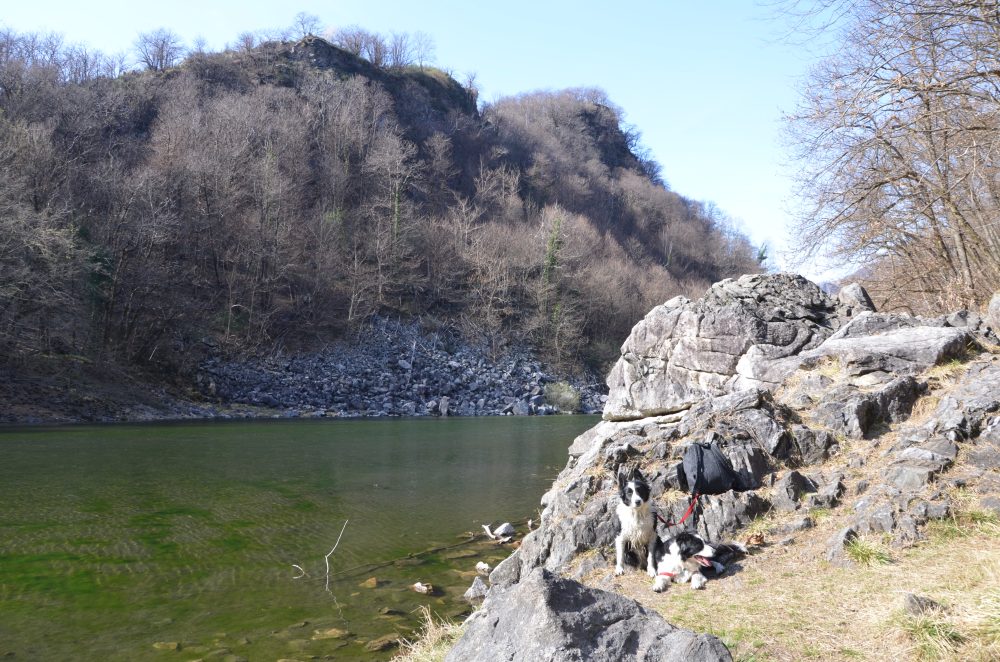
We continue on the trail until we reach St. Augustine’s Lake, also known as the “Toad Lake.” In fact, the time when the toads “meet” in the waters of the lake for mating (usually in the weeks before Easter), attracts several visitors!
Wanting to continue further, from the trailhead at the lake, keeping to the left, route 624a starts, which on the west shore climbs to the few remains of the Castello d’Arian and then descends to the opposite end of the lake.
Coasting to the right along the reflecting pool first on a scree, then in the woods, you can reach St. Augustine’s Chapel, 510m, where a picnic area has been set up. With a stretch in common with this route, you descend following the comfortable paved mule track to Roccapietra, 440m.
Other routes
recommended
Valsesia has a lot to offer to hiking enthusiasts
Suggestivi sentieri immersi nella natura che offrono panorami mozzafiato: lasciati sorprendere dalle meravigliose montagne della Valsesia!
How to get there
Info and contacts
C.A.I. – Club Alpino Italiano di Varallo Sesia
Quarona – San Giovanni al Monte – Monte Tucri
Route / Trekking
Hikes
trail n. 733 QuaronA – San Giovanni al Monte – Monte Tucri
Difficulty: medium – EASY
average duration: 1 hour
departure altitude: 406 mt
arrival altitude: 791 mt
altitude difference: 385 mt
Route description
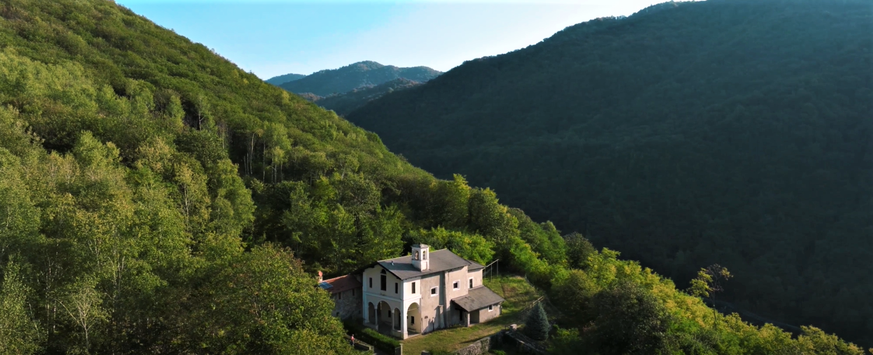
A pleasant walk along an elegant cobbled mule track will tell you the story of “Blessed Panacea,” a local legend, through several small chapels with paintings by Lino Tosi depicting highlights of the Blessed’s life. The cult for the Valsesian shepherdess is deeply felt by the community, and is remembered every year through various initiatives and events of the tradition.
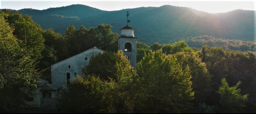
The walk begins in the village of Quarona, 406m, more precisely near the Chapel of the Blessed Panacea located in via Lanzio. One almost immediately takes the comfortable mule track and the climb proceeds in hairpin bends passing two votive pillars, arriving in about twenty minutes at the Church of San Giovanni al Monte, a national monument. Historian Ottone believes it is one of the oldest churches in the Novarese area. Studies carried out during restoration in 1952 showed that the oldest part of the church rests on the remains of a Roman construction, as the tombs that were discovered would suggest. The churchyard until about 1600 served as the cemetery of the religious communities of Quarona, Cavaglia, Breia, Cadarafagno, and Castagnea. On the terrace in front of the church, on the other hand, one can admire the knotty, centuries-old hornbeam trees.
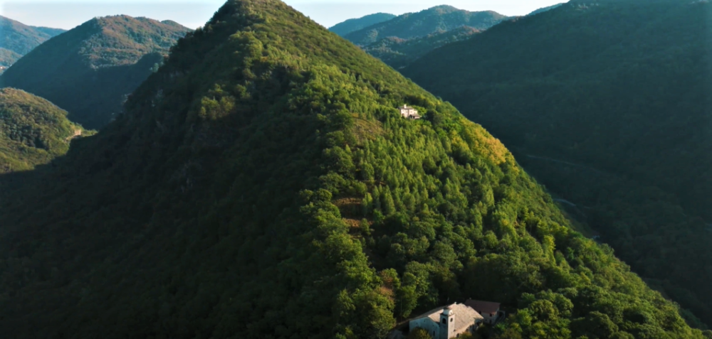
The mule track climbs further past the church and after passing several small chapels reaches the Church of the Beata al Monte, 616m, erected on the site of the martyrdom of the shepherdess Panacea.
On the side of the church continues the path that steeply reaches the southern ridge of the summit of Mount Tucri, 791m, characterized by dense vegetation.
Just before the summit, climbing past the Church of the Beata al Monte, one reaches instead a vantage point that acts as a balcony over the town of Quarona, the surrounding mountains and most of Lower Valsesia.
Other routes
recommended
Valsesia has a lot to offer to hiking enthusiasts
Suggestive trails surrounded by nature that offer breathtaking views: be surprised by the beautiful mountains of Valsesia!
How to get there
Info and contacts
C.A.I. – Club Alpino Italiano di Varallo Sesia
CELLIO CON BREIA, fraz. Carega – Monte San Grato
Route / Trekking
Hikes
trail n. 746 CELLIO CON Breia, fraz. Carega – Monte San Grato
Difficulty: medium – EASY
average duration: 1 – 2 hours
departure altitude: 607 mt
arrival altitude: 914 mt
altitude difference: 307 mt
Route description
The route begins near the square of the church of San Matteo in the hamlet of Cellio Con Breia, Carega, 607m, where it also meets route 747 (Borgosesia-Monte Briasco).
Proceed following the paved road and, keeping to the right, cross the village center. When you reach the crossroads with two fountains, keep right with the ascent coming out on the carriage road near the aqueduct storage tank. Keeping to the right on the road to Casaccia, 670m, continue climbing until you reach the small church dedicated to the Name of Mary. Arriving at some houses above, take the mule track to the right and continue until you reach the stone bridge over the Rio di Robbia. From here the mule track begins to climb in hairpin bends and takes us in about 40 minutes to Agarla, at an altitude of 770m. Crossing the square we enter the village passing the oratory of Saints Lorenzo and Apollonia and come out near an unpaved road.
Keeping to the left you enter the carriage road and follow it past the church of San Rocco. Then leaving the road that descends to Breia shortly afterwards on the right, you reach Sella di San Bernardo, 857m.
You can also reach San Bernardo by car by following the carriage roads coming from Cellio or the village of Quarona.
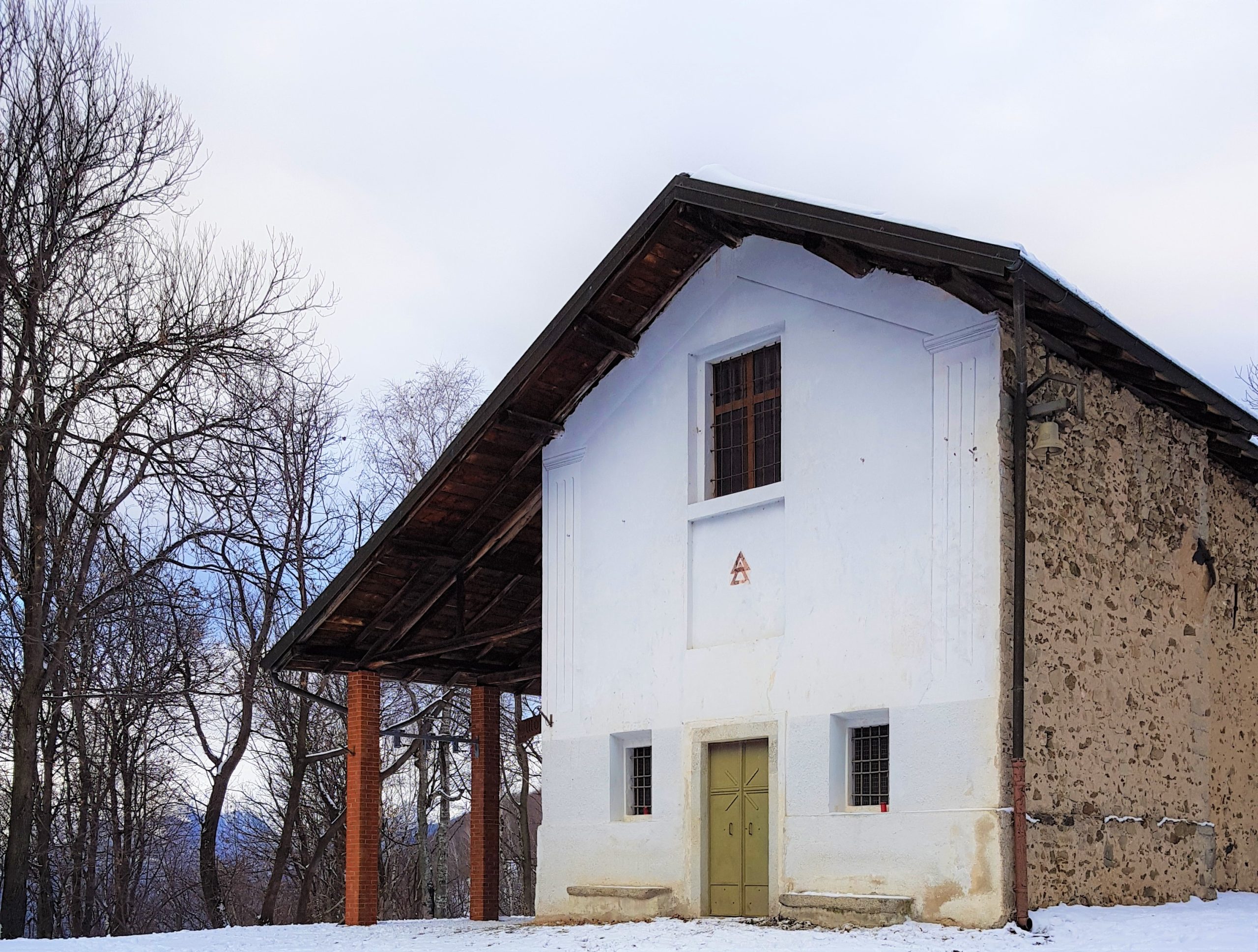
Before the little church, below the restaurant, take the wide dirt road on the left and climb up the road that bypasses on the southern slope Mount Three Crosses of Breia and continuing the route, you gain Mount San Grato, 914m, where there is a pretty little church surrounded by woods.
Mt. San Grato can also be reached from the hamlet of Rozzo di Borgosesia, following the somewhat more strenuous trail No. 745, which arrives just in front of the church.
Other routes
recommended
Valsesia has a lot to offer to hiking enthusiasts
Suggestive trails surrounded by nature that offer breathtaking views: be surprised by the beautiful mountains of Valsesia!
How to get there
Info and contacts
C.A.I. – Club Alpino Italiano di Varallo Sesia
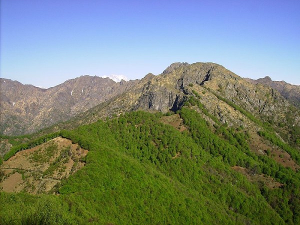
Sentiero n. 719 Postua – Agnona
Route / Trekking
Hikes
trail n. 719 Postua – Agnona
Route once frequented as a link between the two localities. In the central part it winds through the valleys of the Venenza stream and its tributaries, in completely wild, at times picturesque territory.
Difficulty: medium
Distance: 17 km
average duration: 2 hours
departure altitude: 1411 mt
arrival altitude: 1741 mt
altitude difference: 360 mt
Route description
From the Agnona Bridge, 350m, near which there is a Supervolcano Geosite, go up the steep asphalt road and after the first bend go straight along the cobbled road that passes where the Napoleonic-era customs house was and enters Agnona 400m.
Reaching the central street of the village, follow it to the right with a stretch in common with itinerary 724. Pass the chapel of Sant’Antonio and at the house of the musician Carlo Fassò, near a drinking fountain, take a steep little road to the left, reaching Piancastello in a short time.
Past another fountain, leave path 724 on the right and turn left. Steeply uphill on a nice paved mule track you reach Franzano, a locality consisting only of a historic mansion house with a large park. Continue skirting the park on more degraded mule track and reach the dirt road at the junction with route 720 (0.40 hours). Follow it for a few meters to turn immediately left onto a path that descends to the Nanzola stream.
Ascend the opposite slope with a rather steep section to the next shelf, Ruse Rosse, 620m, where the trail continues recessed and then returns to a short descent to a minor stream. You go around some bumps and pass some hollows where the trail tends to get lost.
You pass the reservoir of the Sacche stream, cross it and for a steep incised section go around another shoulder. Here the trail becomes a mule track, crosses the Venenza stream on a small bridge and shortly after reaches San Rocco di Postua, where it crosses a dirt road with itinerary 724, which you follow briefly on the left to the small chapel (0.50-1.30 hours).
On the steep paved road you descend to Postua, 459m, pass the town hall and arrive at the parish church (0.10-1.40 hrs).
how to get there
Info and contacts
C.A.I. – Club Alpino Italiano di Varallo Sesia
Other routes
recommended
Valsesia has a lot to offer to hiking enthusiasts
Suggestive trails surrounded by nature that offer breathtaking views: be surprised by the beautiful mountains of Valsesia!