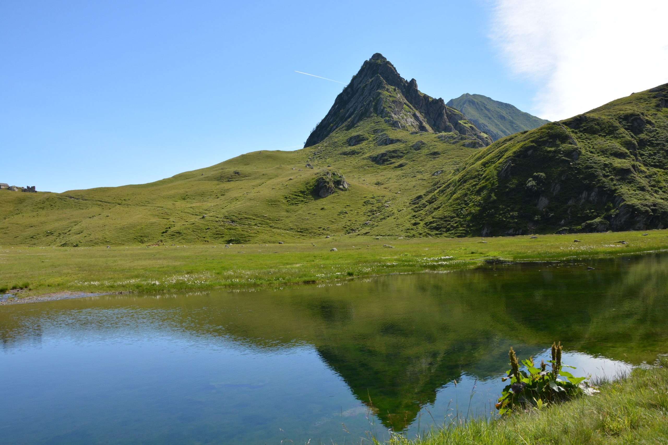
FOBELLO – Lago e Colle di Baranca
Route / Trekking
Hikes
trail n. 517 Fobello,Fraz. S. Maria – Lago e Colle di Baranca – Colle d’Egua
Difficulty: medium
average duration: 3-4 hours
departure altitude: 1106 mt
arrival altitude: 2239 mt
altitude difference: 1133 mt
Route description
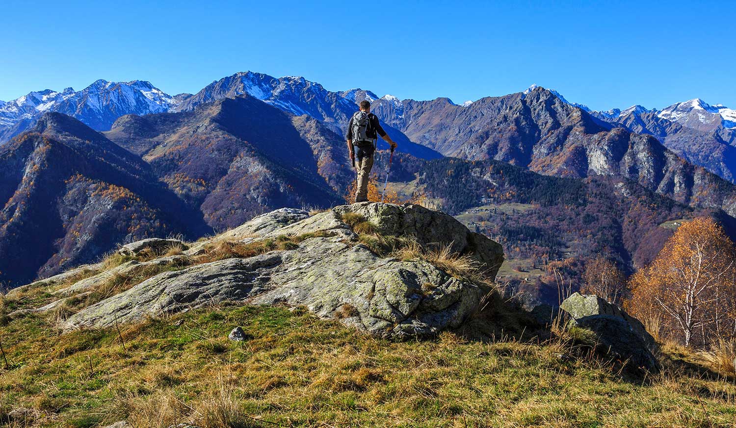
This route leads to Lake and Colle di Baranca, which connects to Colle d’Egua along a trail of great historical importance, often used in the “grands tours” of the 19th century.
It is part of the route of the Great Traverse of the Alps (GTA), the Great Walser Trail, the Via Alpina and the Cai Italy Trail.
From the village of Fobello, 873m, we continue by car on the carriage road, passing through the hamlets of Boco and La Piana, to Santa Maria, 1106m, the starting hamlet of our itinerary.
At the end of the paved road, where there is a parking lot, we take trail 517, which follows the course of the Mastallone stream, and on the way up we meet the alpine pastures Catolino, 1252m, and Lungostretto, 1291m. A little higher up, crossing the Mastallone on a bridge, the mule track proceeds with a couple of hairpin bends, passing by a picturesque beech glade.
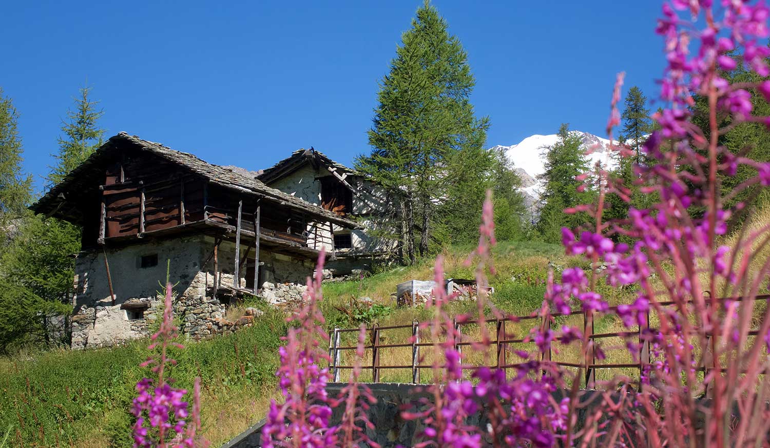
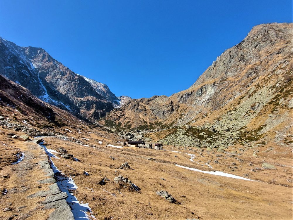
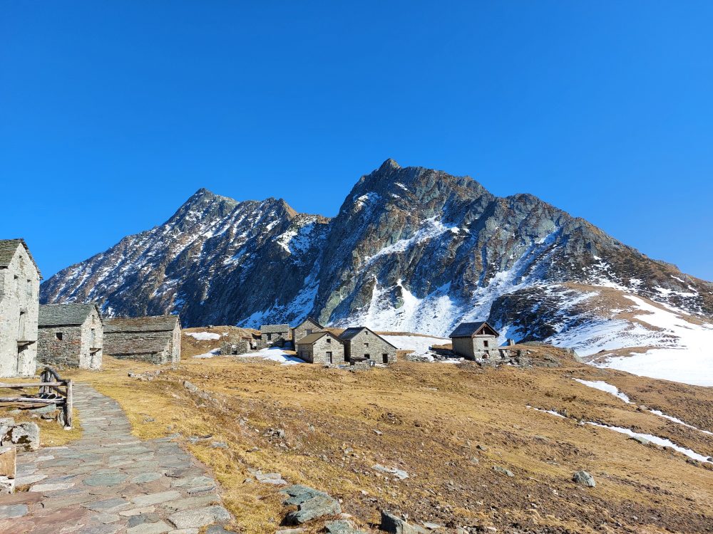
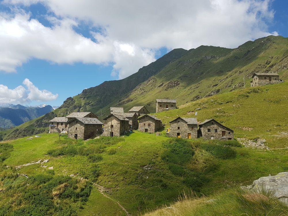
You then reach Alpe Baranca, at an elevation of 1600m, a lovely cluster of renovated huts, with the GTA stage point hut.
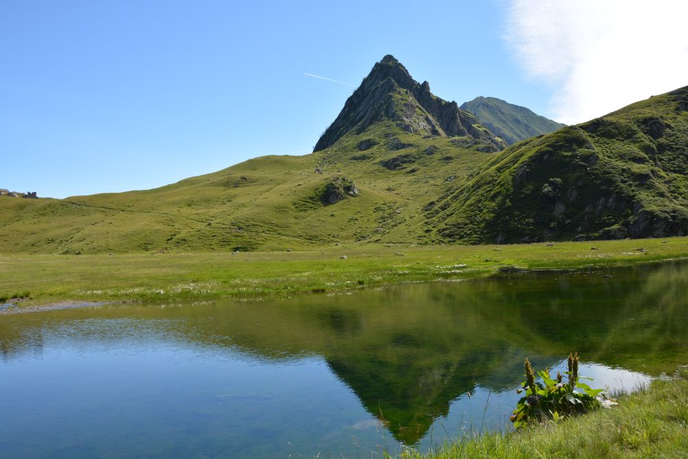
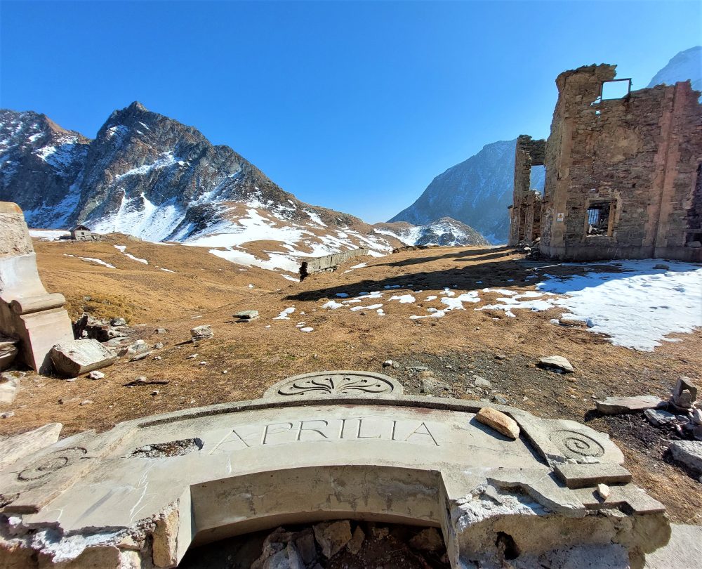
The route proceeds slightly uphill near the waterfall, formed by the waters of Lake Baranca. You reach the lake by following the trail to Alpe Selle, with several characteristic huts. Not far away, you can see the ruins of what was once the famous Villa Aprilia, known as Villa Lancia, destroyed during the last World War.
From the hill one can descend toward Bannio and Anzino.
From here you can resume climbing through picturesque meadows rich in alpine flora, on the southeast-oriented path that leads to Colle d’Egua, 2239m, and then connect to the village of Carcoforo.
Other routes
recommended
Valsesia has a lot to offer to hiking enthusiasts
Suggestive trails surrounded by nature that offer breathtaking views: be surprised by the beautiful mountains of Valsesia!

How to get there
Info and contacts
C.A.I. – Club Alpino Italiano di Varallo Sesia
CERVATTO – Madonna del Balmone
Route / Trekking
Hikes
trail n. 507 Cervatto – Madonna del Balmone
Difficulty: medium – easy
average duration: 1 hour
departure altitude: 1033 mt
arrival altitude: 1363 mt
altitude difference: 330 mt
Route description
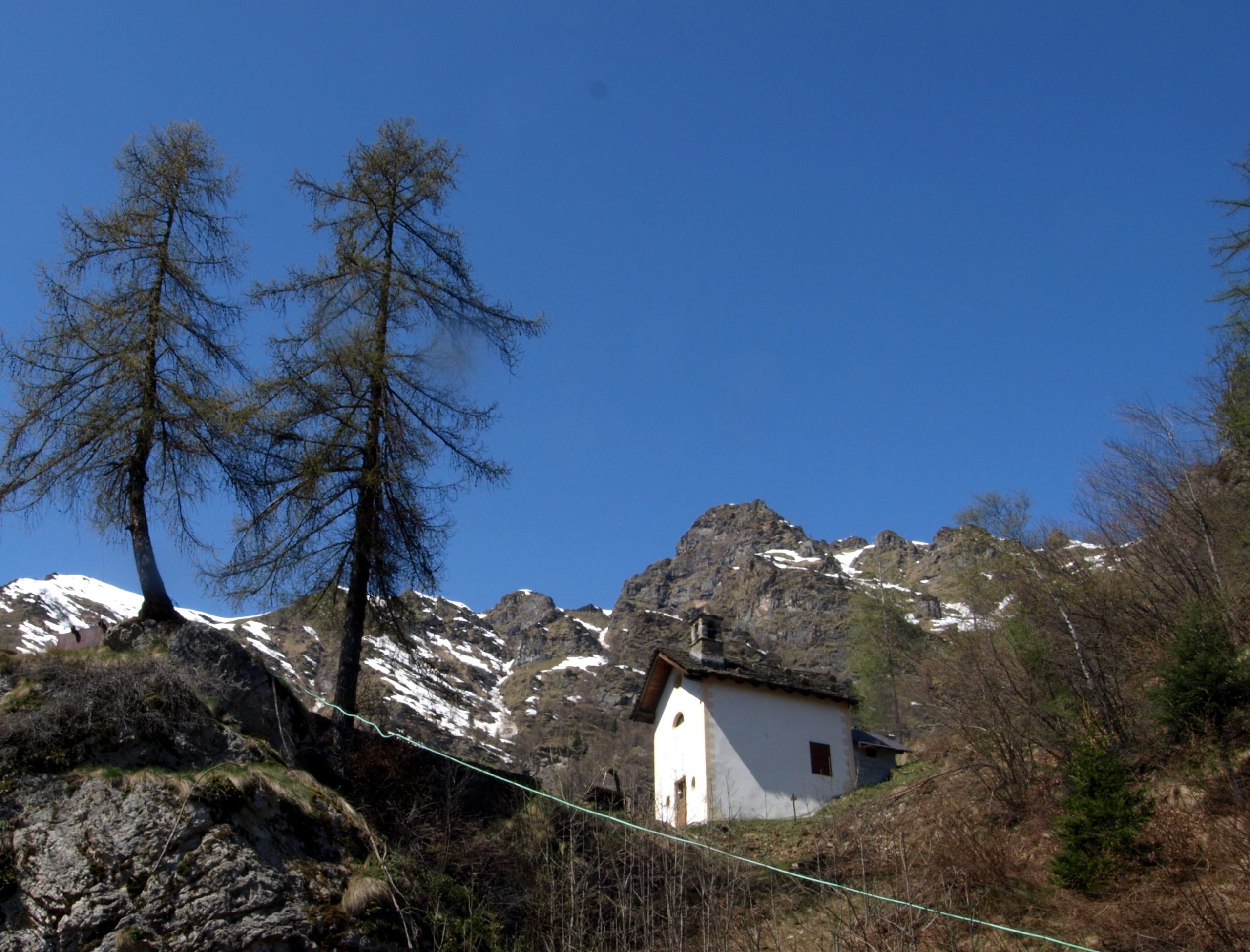
This route partly coincides with the “Art Trail.” It touches on pretty hamlets and numerous oratories to arrive at the charming mountain shrine of Madonna del Balmone.
The itinerary starts from the village of Cervatto,1002m, traveling by road, approximately in 15 minutes, along Route 501 to Giavina, 1033m.
Here you start walking along the mule track on the right. You pass under the Consolata Oratory and shortly arrive at the small hamlet of Orlino, 1101m. Here several are the characteristic houses developed on many floors so as to make the most of the modest building area.
You then pass by where the church dedicated to St. Martin stands and enter the forest on a continuous ascent among oaks, firs and beeches to reach the small church of Saints Peter and Paul, 1184m.
One enters the valley dominated by Punta Castello, 2096m, then climbs gently there finding oneself in a short time in the meadows of the hamlet Taponaccio, 1236m. Crossing the surrounding meadows, the trail continues uphill and arrives, preceded by a characteristic renovated hut, at the sanctuary of Madonna del Balmone, dedicated to the Madonna of Oropa.
Other routes
recommended
Valsesia has a lot to offer to hiking enthusiasts
Suggestive trails surrounded by nature that offer breathtaking views: be surprised by the beautiful mountains of Valsesia!
How to get there
Info and contacts
C.A.I. – Club Alpino Italiano di Varallo Sesia
RIMELLA – Alpe Pianello – Bocchetta di Campello
Route / Trekking
Hikes
trail n. 548 Rimella – Bocchetta di Campello
Difficulty: medium
average duration: 2-3 hours
departure altitude: 1176 mt
arrival altitude: 1924 mt
altitude difference: 748 mt
Route description
This is the historic trail that connects Rimella to its ancient hamlet of Campello Monti in the Strona Valley.
This route is part of the Great Traverse of the Alps (GTA), the Via Alpina, the Cai Italia Trail, the Great Walser Traverse and with a Resistance Route.
From the village of Rimella, 1176m, follow the paved road up to the hamlet of Sella, 1287m. You pass the village by continuing on the road that arrives just before the hamlet of San Gottardo, parking your car in a parking lot on the right, just after the Chapel of the Madonna del Rosario. From here take path No. 548, which comes off to the left and proceeds uphill, briefly, thus reaching the locality known as “Posa dei Morti,” 1395m. Here stands a small church beside a rocky balm, under which is located a cross.
Continue moderately uphill through the woods passing Alpe Selletta, 1461m, located on the ridge above San Gottardo. Continue over a vast meadow that covers the entire western side of the valley.
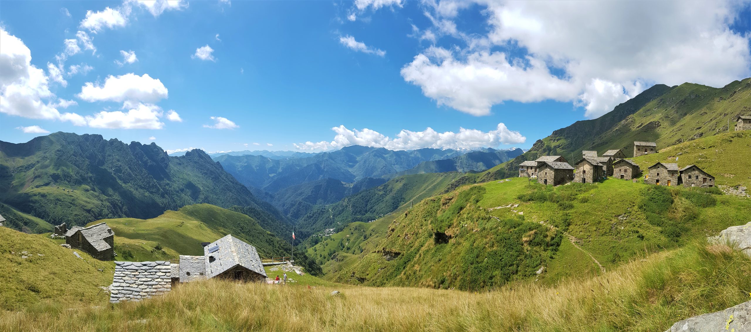
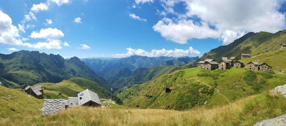
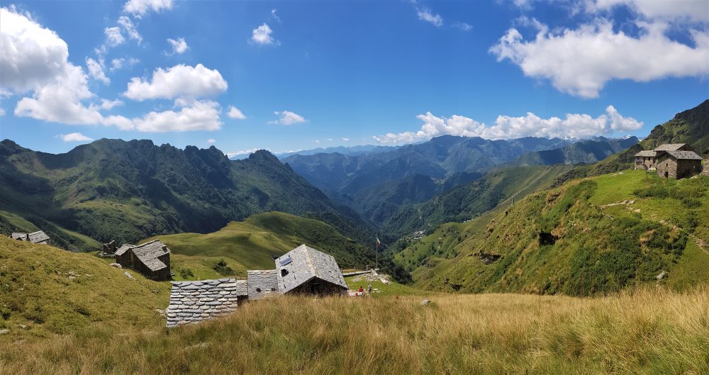
The trail passes high above the hamlets of Wan, 1470m, and Verch, 1525m, and past several rivulets descending from Pizzo or Blatte to reach an elevation of 1780m near Alpe Pianello (in about 1h30/2 hours). In this alpine pasture, the Rifugio CAI Città di Borgomanero is located.
The trail continues uphill and reaches Bocchetta di Campello, 1924m, (in total about 2h30). A rock altar dedicated to the memory of Father Giovanni Gallino, priest and teacher, founder of GRIM, has been built nearby.
For those who want to continue, you can follow the path that climbs the Strona Valley side and leads first to the Alpe, then to the Lake and then to Cima Capezzone, 2421m.
Going down the valley instead, one reaches Alpe Scarpia and then Campello Monti, an ancient hamlet of Rimella..
Other routes
recommended
Valsesia has a lot to offer to hiking enthusiasts
Suggestive trails surrounded by nature that offer breathtaking views: be surprised by the beautiful mountains of Valsesia!
How to get there
Info and contacts
C.A.I. – Club Alpino Italiano di Varallo Sesia
VARALLO, fraz. Corte (Camasco) – Alpe Sacchi
Route / Trekking
Hikes
trail n. 626 Corte (Camasco) – Alpe Sacchi
Difficulty: medium – easy
average duration: 1-2 hours
departure altitude: 800 mt
arrival altitude: 1230 mt
altitude difference: 496 mt
Route description
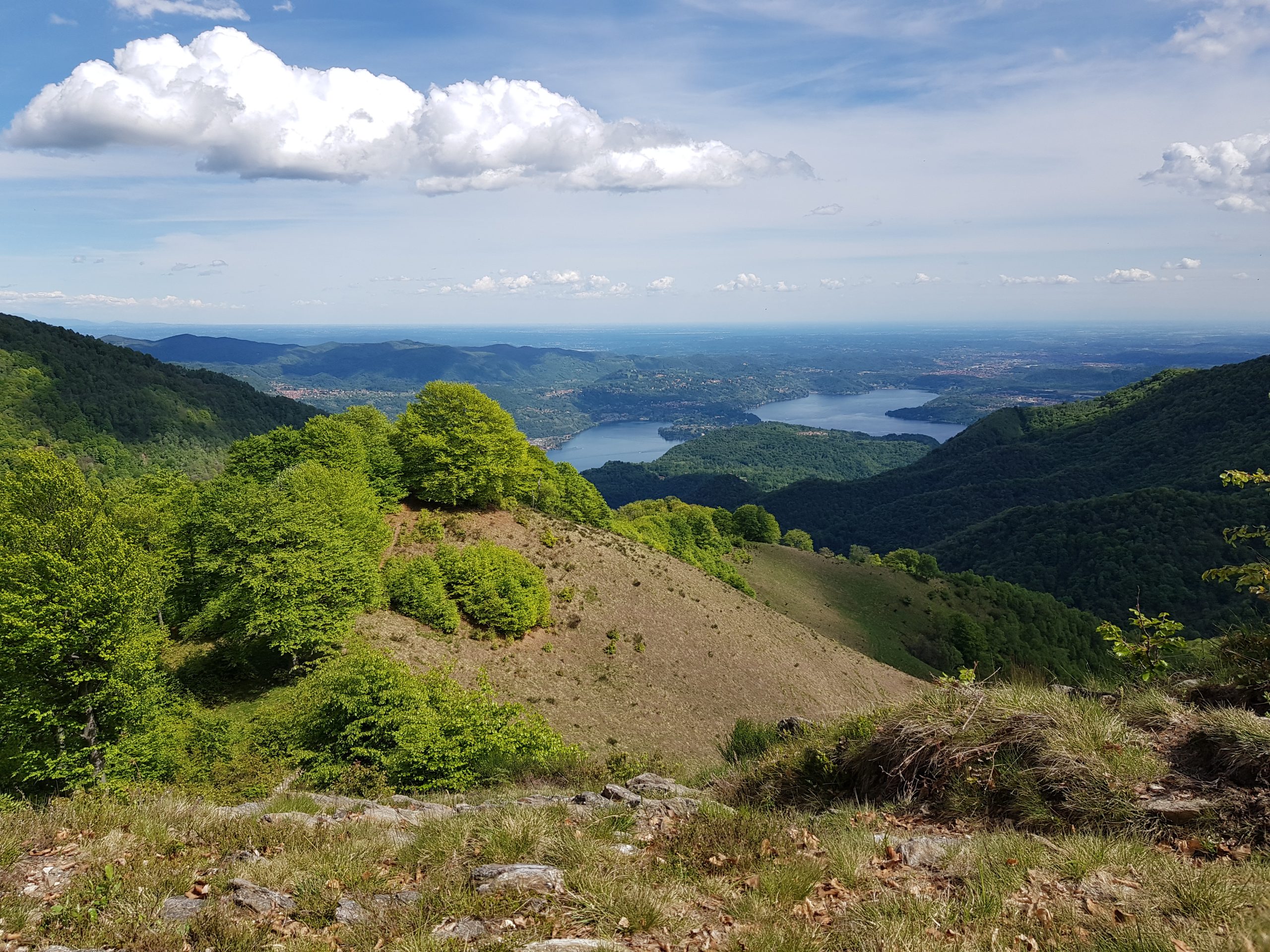
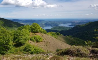
A beautiful trail leading to Alpe Sacchi, a scenic valley directly overlooking the Cusian side, with memorable views of Lake Orta.
The trail begins immediately upstream from one of the hamlets of Camasco, 756 m, Corte. Crossing the bridge, you skirt a fence following a track that leads to the ford of a stream. Arriving at a pasture area, take a left and climb a clearing. The trail proceeds through the forest until you reach Alpe Rüsi, at an elevation of 1100m. You then continue across the dirt road that climbs cutting across the slope to reach Sella delle Sacche, 1296m. Continuing, you then descend briefly to the road coming from Morondo.
Follow the road and you will soon reach Alpe Sacchi, 1230m, where there is a wonderful view of Lake Orta, the mountains of Cusio, Ossola and Ticino, and even a glimpse of the Lombard Pre-Alps.
Alpe Sacchi can also be reached by a paved road from Varallo via Morondo.
Following the ridge northward, one can reach by a route partly on a dirt road and partly on a path, in about half an hour, the Colle del Ranghetto, 1272m.
Other routes
recommended
Valsesia has a lot to offer to hiking enthusiasts
Suggestive trails surrounded by nature that offer breathtaking views: be surprised by the beautiful mountains of Valsesia!
How to get there
Info and contacts
C.A.I. – Club Alpino Italiano di Varallo Sesia
VARALLO, Fraz. Piane di Cervarolo – Massa del Turlo
Route / Trekking
Hikes
trail n. 620 VARALLO, Fraz. Piane di Cervarolo – Massa del Turlo
Difficulty: medium
average duration: 2-3 hours
departure altitude: Alpe Piane 1222 mt
arrival altitude: 1959 mt
altitude difference: 737 mt
Route description
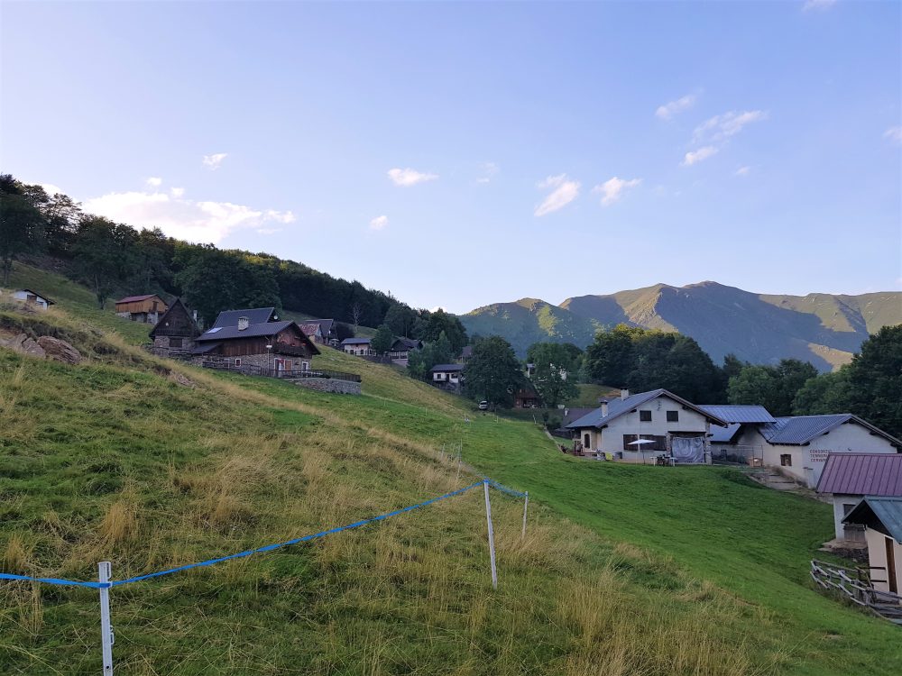
The itinerary begins in the hamlet of Piane di Cervarolo, where at the end of the road stands Alpe Piane, 1222m. From this beautiful plateau, characterized by peculiar houses and huts, a pretty little church and the Camosci Refuge, you cross the vast alpine pasture following trail no. 620. You cross a beech forest, reaching Sella Vaneccio, 1297m. Continue along the ridge as the forested landscape gradually becomes less dense and you reach Bocchetta Schillottàa, 1414m.
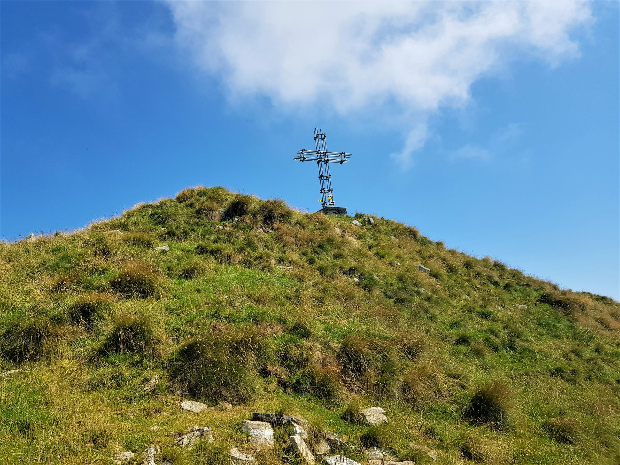
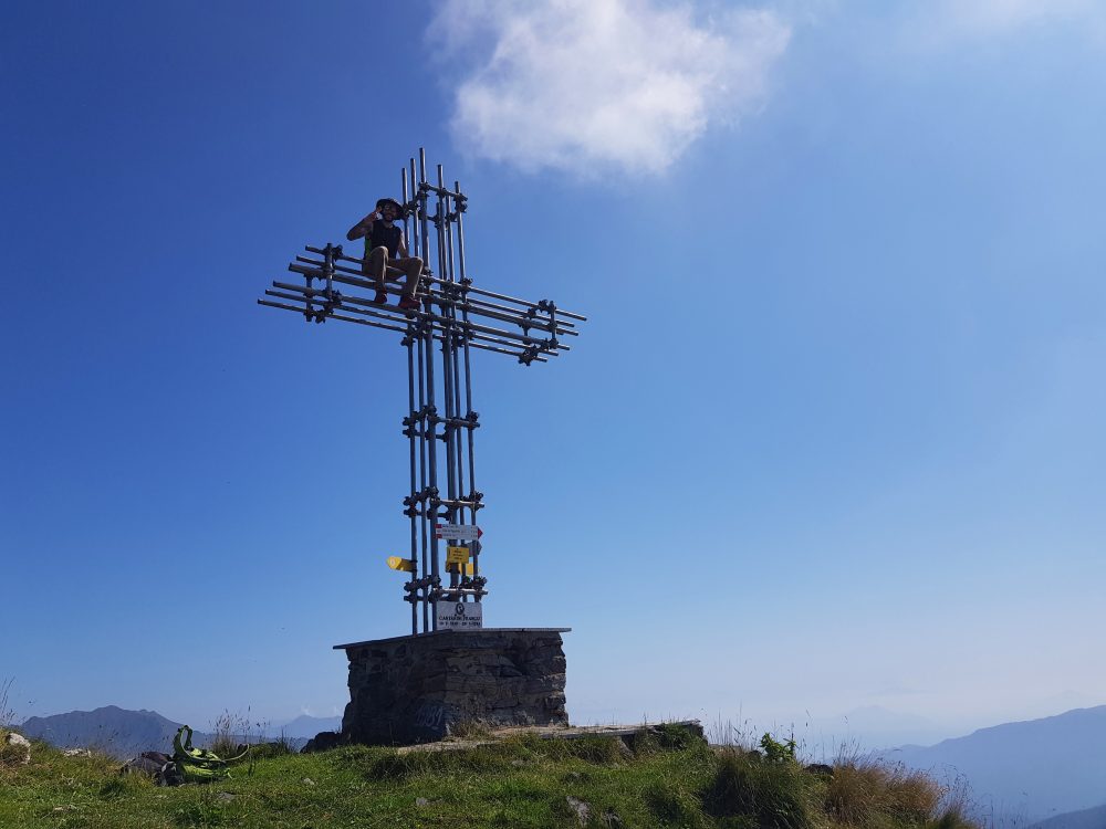
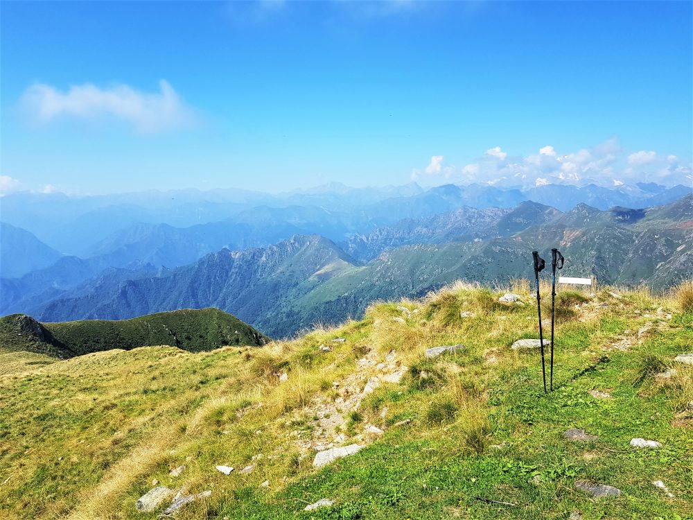
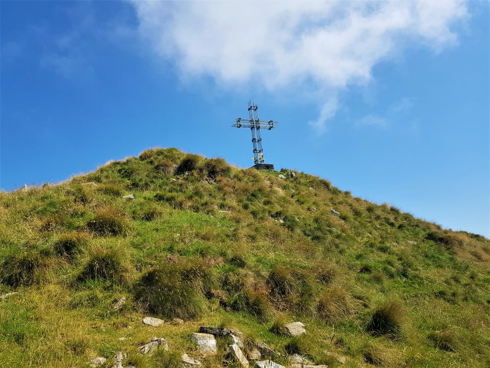
Cutting diagonally across a section of rocky ridge on the west side and regaining the ridge, you reach Cima di Ventolaro 1620m. You then proceed along the ridge passing first an anticima, then Bocchetta del Sonato, 1900m, and reach the summit of Massa del Turlo, 1959m, on which a tall iron cross is erected. From the summit there is an impressive view of part of the alpine circle, the lakes of Lombardy and several villages of Val Strona and Valsesia.
Other routes
recommended
Valsesia has a lot to offer to hiking enthusiasts
Suggestive trails surrounded by nature that offer breathtaking views: be surprised by the beautiful mountains of Valsesia!
How to get there
Info and contacts
C.A.I. – Club Alpino Italiano di Varallo Sesia
VARALLO – Sentiero di Padre Gallino
Route / Trekking
Hikes
trail Padre Gallino Segnavia 616-spg
Difficulty: medium
average duration: 3 hours
departure altitude: 454 mt
arrival altitude: 919 mt
altitude difference: 465 mt
Route description
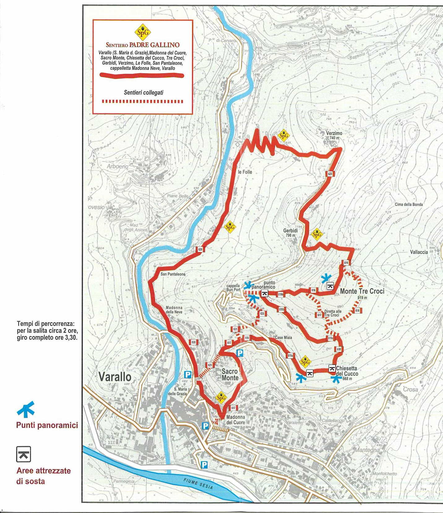
The itinerary connects Varallo to Sacro Monte and the scenic peak of Monte Tre Croci, along an evocative loop trail of great artistic and religious interest. It was realized in honor of Father Giovanni Gallino (1921-1986), a great figure of educator and founder of GRIM (Gruppo Ragazzi in Montagna).
The itinerary begins in Varallo, 450m, near the Church of Santa Maria delle Grazie just after the cable car to Sacro Monte. You take an almost level lane to the right that shortly after climbs to the little church of Our Lady of the Heart and then reaches the entrance square of the splendid Sacro Monte of Varallo, 612m. You cross it on a pleasant climb to take a right onto the mule track located after the guides’ kiosk.
You follow the path until you reach the carriage road. Cross it and climb up the path that leads to the right to an impressive viewpoint and the small church of Cucco. Then proceed uphill taking the path that climbs to the left, and at a junction keep left until you reach the Sasei viewpoint, from where there are views of the Mastallone Valley, Varallo and Sacro Monte.
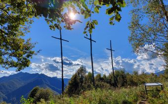
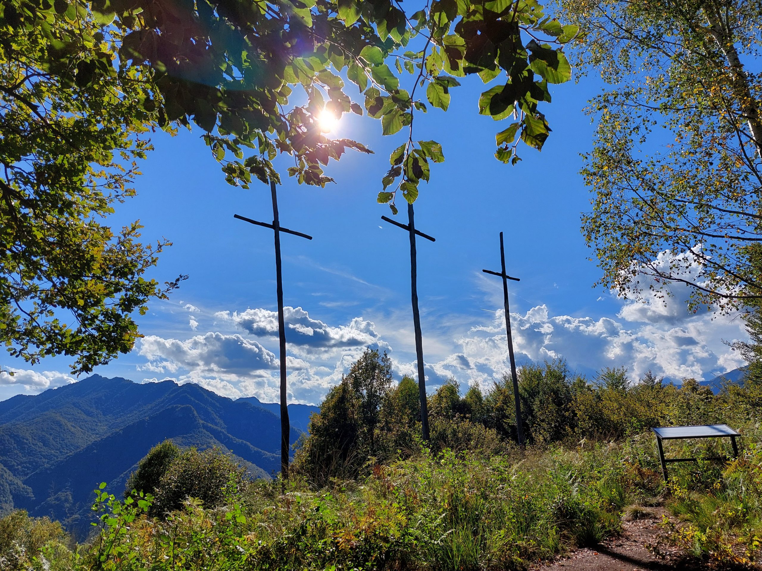
Next, taking the path that climbs steeply into the woods, you reach the summit of Mount Tre Croci, 919m (also reachable from the aforementioned fork by taking a steeper path). From this mountain, characterized by three high crosses, there is a fabulous view of Varallo and the surrounding mountains.
Continuing northward for a stretch on the ridge, you descend to the carriage road near the oratory of Gerbidi. Continuing to the right, you arrive, in about 20 minutes, at the hamlet of Verzimo, 743m.
Just before the church on the left, take the path steeply downhill through the woods that grazes an alpine pasture and reaches the dirt road that approaches a beautiful stream. You then reach the ruined oratory of San Pantaleone.
At last you return to the carriage road near the “Buzzo Bridge,” and staying to the left, along the road, in a few hundred meters you return to the starting point.
Other routes
recommended
Valsesia has a lot to offer to hiking enthusiasts
Suggestive trails surrounded by nature that offer breathtaking views: be surprised by the beautiful mountains of Valsesia!
How to get there
Info and contacts
C.A.I. – Club Alpino Italiano di Varallo Sesia
VARALLO, fraz. Crevola – Res o Bec d’Ovaga
Route / Trekking
Hikes
trail n. 605 Varallo, fraz. Crevola – Res o Bec d’Ovaga
Difficulty: medium
average duration: 2-3 hours
departure altitude: 441 mt
arrival altitude: 1631 mt
altitude difference: 1190 mt
Route description
This is the most popular route to reach this peak from which it is possible to see one of the best views of lower and upper Valsesia, the imposing Monte Rosa and the chain of the Swiss Alps. It is very popular in all seasons.
The route can start from the hamlet of Varallo Crevola, near the parish church, or by driving up to the village of Casavei.
Starting from Crevola, proceeding left along the main road in the direction of Parone, turn right at house number 134 taking an alley thus reaching the mouth of the trail. Going uphill, you will cross the Crevola-Parone carriage road at a bend. Proceeding along the path to the right, you reach an alpine pasture and then the plateau of Alpe Cerei, 708m.
Continuing uphill through a mixed forest, you come to a ruin and enter a beech forest, thus coming out at the wide pasture of Casavei, 809m, an alpine pasture with several repurposed houses, where the carriage road ends.
The hamlet of Casavei can also be reached by car, and begin the walk from this point.
Continue on a mule track and then continue on the path at the edge of the meadow that touches Rio di Casavei. You arrive along Casavei-Alpe Campo service road at Sella di Taglione, 986m, and follow it to Alpe Campo, 1090m. Continue on the trail through a coniferous forest, and passing the ruins of Alpe Volpera, 1130m, you reach Alpe del Pastore or Alpe Res, at 1216m.
Proceed up and over the Riale stream, and continue in hairpin bends to reach the Spanna-Osella Refuge, run by the Valsesian Section of the ANA.
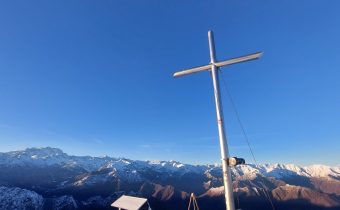
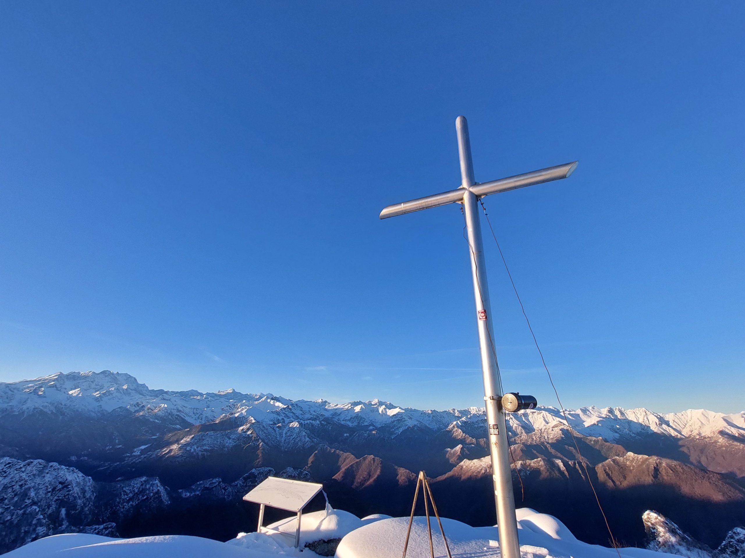
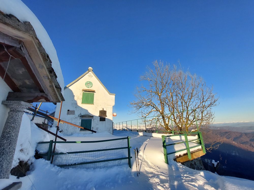
Passing between the small chapel and the hut, in a few minutes a steep section leads to the summit of Res or Bec d’Ovaga, 1631m. Here there is a hut, a small chapel, and, climbing a few more minutes past the chapel, you reach the cross on top of the mountain, from where there is a 360-degree view of the Alpine arc and Monte Rosa.
For those who wish to continue, quite popular is the traverse along the ridge that beyond the Sella di Vazzosa, over the peaks of Castello di Gavala, Monte Luvot and the Sella della Rosetta leads to the pastures of Monte Tovo and to Foresto.
Other routes
recommended
Valsesia has a lot to offer to hiking enthusiasts
Suggestive trails surrounded by nature that offer breathtaking views: be surprised by the beautiful mountains of Valsesia!
How to get there
Info and contacts
C.A.I. – Club Alpino Italiano di Varallo Sesia
Quarona – San Giovanni al Monte – Monte Tucri
Route / Trekking
Hikes
trail n. 733 QuaronA – San Giovanni al Monte – Monte Tucri
Difficulty: medium – EASY
average duration: 1 hour
departure altitude: 406 mt
arrival altitude: 791 mt
altitude difference: 385 mt
Route description
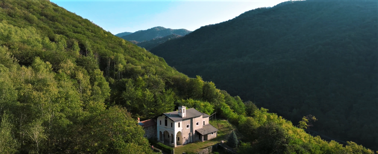
A pleasant walk along an elegant cobbled mule track will tell you the story of “Blessed Panacea,” a local legend, through several small chapels with paintings by Lino Tosi depicting highlights of the Blessed’s life. The cult for the Valsesian shepherdess is deeply felt by the community, and is remembered every year through various initiatives and events of the tradition.
The walk begins in the village of Quarona, 406m, more precisely near the Chapel of the Blessed Panacea located in via Lanzio. One almost immediately takes the comfortable mule track and the climb proceeds in hairpin bends passing two votive pillars, arriving in about twenty minutes at the Church of San Giovanni al Monte, a national monument. Historian Ottone believes it is one of the oldest churches in the Novarese area. Studies carried out during restoration in 1952 showed that the oldest part of the church rests on the remains of a Roman construction, as the tombs that were discovered would suggest. The churchyard until about 1600 served as the cemetery of the religious communities of Quarona, Cavaglia, Breia, Cadarafagno, and Castagnea. On the terrace in front of the church, on the other hand, one can admire the knotty, centuries-old hornbeam trees.
The mule track climbs further past the church and after passing several small chapels reaches the Church of the Beata al Monte, 616m, erected on the site of the martyrdom of the shepherdess Panacea.
On the side of the church continues the path that steeply reaches the southern ridge of the summit of Mount Tucri, 791m, characterized by dense vegetation.
Just before the summit, climbing past the Church of the Beata al Monte, one reaches instead a vantage point that acts as a balcony over the town of Quarona, the surrounding mountains and most of Lower Valsesia.
Other routes
recommended
Valsesia has a lot to offer to hiking enthusiasts
Suggestive trails surrounded by nature that offer breathtaking views: be surprised by the beautiful mountains of Valsesia!
How to get there
Info and contacts
C.A.I. – Club Alpino Italiano di Varallo Sesia
BORGOSESIA fraz. Foresto – Monte Tovo – Castello di Gavala
Route / Trekking
Hikes
trail n. 715 Borgosesia, fraz. Foresto – Monte Tovo – Castello di Gavala
Difficulty: EE – Experienced Hikers
average duration: 4-5 hours
departure altitude: 371 mt
arrival altitude: 1827 mt
altitude difference: 1456 mt
Route description
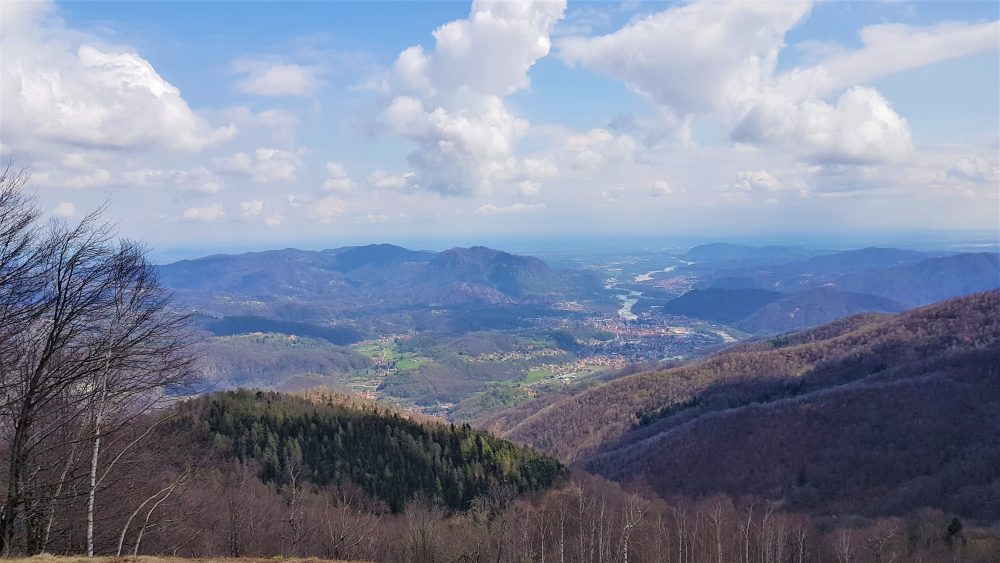
The route touches the highest peaks in the town of Borgosesia.
The route begins near the parish church of Isolella, 371m, following the municipal road of the hamlet of Foresto until it reaches the first hairpin bend. Here you take a wide mule track that climbs keeping to the right for a good stretch. Passing an oratory, you reach, in about 30 minutes, Foresto, 551m in the vicinity of the cemetery and parish church dedicated to St. John. (You can also get to Foresto by car).
Enter the village and continue to reach an old chestnut grove located above the hamlet of Costa, via a mule track. Leaving two farmsteads on the left and crossing a chestnut forest, you reach the inter-modal road of Monte Tovo, cross it and proceed on the mule track that leads to the Fontana degli Alpini. The route climbs and skirting the pine forest reaches Alpe Bonde, at an altitude of 945m. It then proceeds along the hairpin bends of the trail through a beech, fir and birch forest to meet the road again at Alpe Stanvone, 1092m.
You pass the fountain and quickly climb to Rifugio Luciano Gilodi (Cà Mea), 1110m. You can also reach the Refuge, which is below the summit of Mount Tovo, by car.
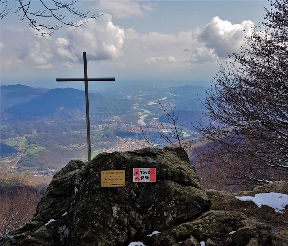
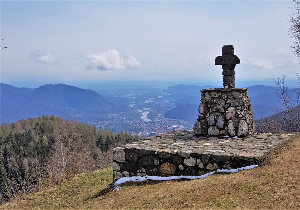
Behind the hut one climbs up the road and reaches the large square overlooked by the pretty little chapel with a view of Borgosesia. From here you can climb to the extreme tip of Mount Tovo, where a symbolic cross rests, by climbing up the path on the wide slope to the right. Instead, the itinerary continues on the wide unpaved road on the right into the beech forest and reaches a shoulder of the Falghé hump, at the point where it intersects with itinerary 713, which leads from Doccio to Monte Tovo.
Proceed always keeping to the right along the dirt road that with several ups and downs reaches Sella della Rosetta, 1246m. From here, continue on the path that runs along the ridge reaching a grassy shelf, the Soglio, the arrival point of the itinerary coming from Doccio.
Proceeding on the Doccio side, you climb a gully that comes out on the ridge; you then pass on the Postua side (left), passing a ledge under a wall: the “Balmaccia.” You then reach the Sella del Casone by climbing a gully until below the anticima. Having circumvented the anticima in a steep section that requires caution, one arrives by walking a few more minutes to the summit of Mount Luvot, 1603m, symbolized by a large cross. In his “Guide to the Mountains of Valsesia,” Don Ravelli refers to it as Sasso di Soliva or Baudrocco.
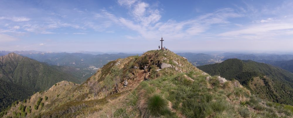
Then proceeding along the ridge and passing several humps, you go around, below the ridge, on the Valsesian side, the Terraggiolo peak, 1656m. Instead, proceed following the ridge until you reach the first rocks of Gavala. Bending to the right, you flank the Locarno slope. Ascending by traces the ridge toward the west summit, then passing a small gully, you reach the first one. Later, past a second big head on the right, you pass a saddle where there are trail tracks leading along the ridge toward Massale and Res. From the saddle, via an exposed section, you can reach the main summit of Gavala Castle, at an altitude of 1827m.
Other routes
recommended
Valsesia has a lot to offer to hiking enthusiasts
Suggestive trails surrounded by nature that offer breathtaking views: be surprised by the beautiful mountains of Valsesia!
How to get there
Info and contacts
C.A.I. – Club Alpino Italiano di Varallo Sesia
BORGOSESIA, fraz. Bettole – Monte Fenera
Route / Trekking
Hikes
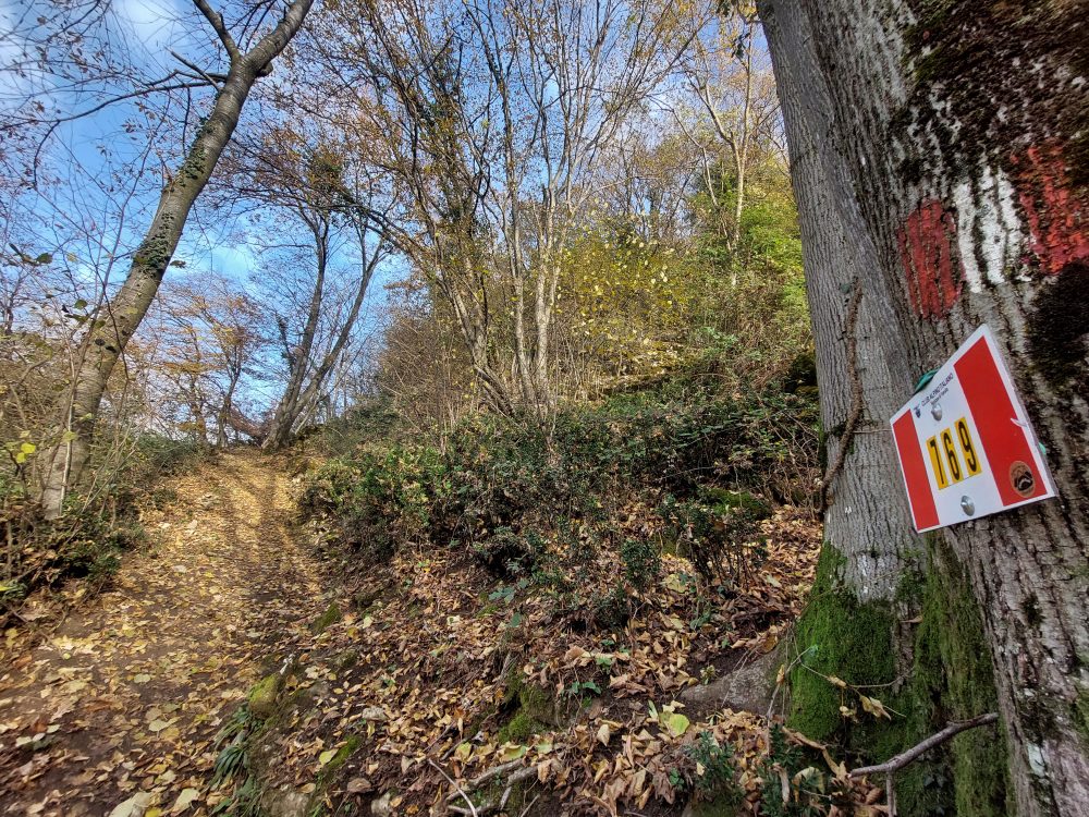
trail n. 769 Bettole – Monte Fenera
Difficulty: medium
average duration: 1 – 2 hours
departure altitude: 350 mt
arrival altitude: 899 mt
altitude difference: 549 mt
Route description
An easy mule track joins the old railway station in the hamlet of Bettole, 350m, with the hamlet of Fenera San Giulio, 414m, in about fifteen minutes. (You can also get to the hamlet of Fenera San Giulio by car, where you will find a parking lot at the end of the road.)
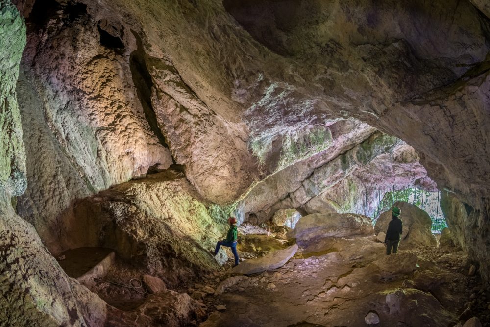
Here you take a flight of steps in front of the parking lots that crosses cultivated meadows and begin to climb, passing the houses of the hamlet until you reach the wide gravel road that, after a few meters, turns right until it joins the path that climbs into the woods. Following the path that zigzags uphill, at an altitude of 610m you will find on the right the detour to the Ciutarùn cave, which can be reached in a short time and is protected by a gate.
Proceeding instead on the path, after a few tens of meters there is a gully, the crossing of which requires attention and caution, due to the possible fall of stones and the slipperiness of the ground. At the top you turn left. From here you can catch a glimpse of the Ciota Ciara cave. On the right, on the other hand, you can reach the Belvedere sub-rock and a little further on, climbing a steep metal ladder, you can reach the GASB (Archaeological Speleological Group of Borgosesia) Shelter. Nearby comes path 780 coming from Ara: for those who do not want to climb the metal ladder, can take this path for a few meters, descend a wooden staircase, continue a little straight ahead and, immediately on the left, climb a path that leads behind the refuge.
Returning instead to the main itinerary, then at the fork, continue on the left, flanking the rock face and reaching the karst cavities: the most relevant is the Ciota Ciara.
The route proceeds with a short traverse uphill until it reaches the cave known as Buco della Bondaccia at an elevation of 690m. Entering a karst basin and turning right, it climbs the wooded flank until it crosses with path 768; follow it for a few meters and then leave it, veering right again and continuing to the saddle that divides the two peaks of the mountain. Here also coincides the arrival of path 768 that we previously met and of path 772 coming from Colma and Grignasco.
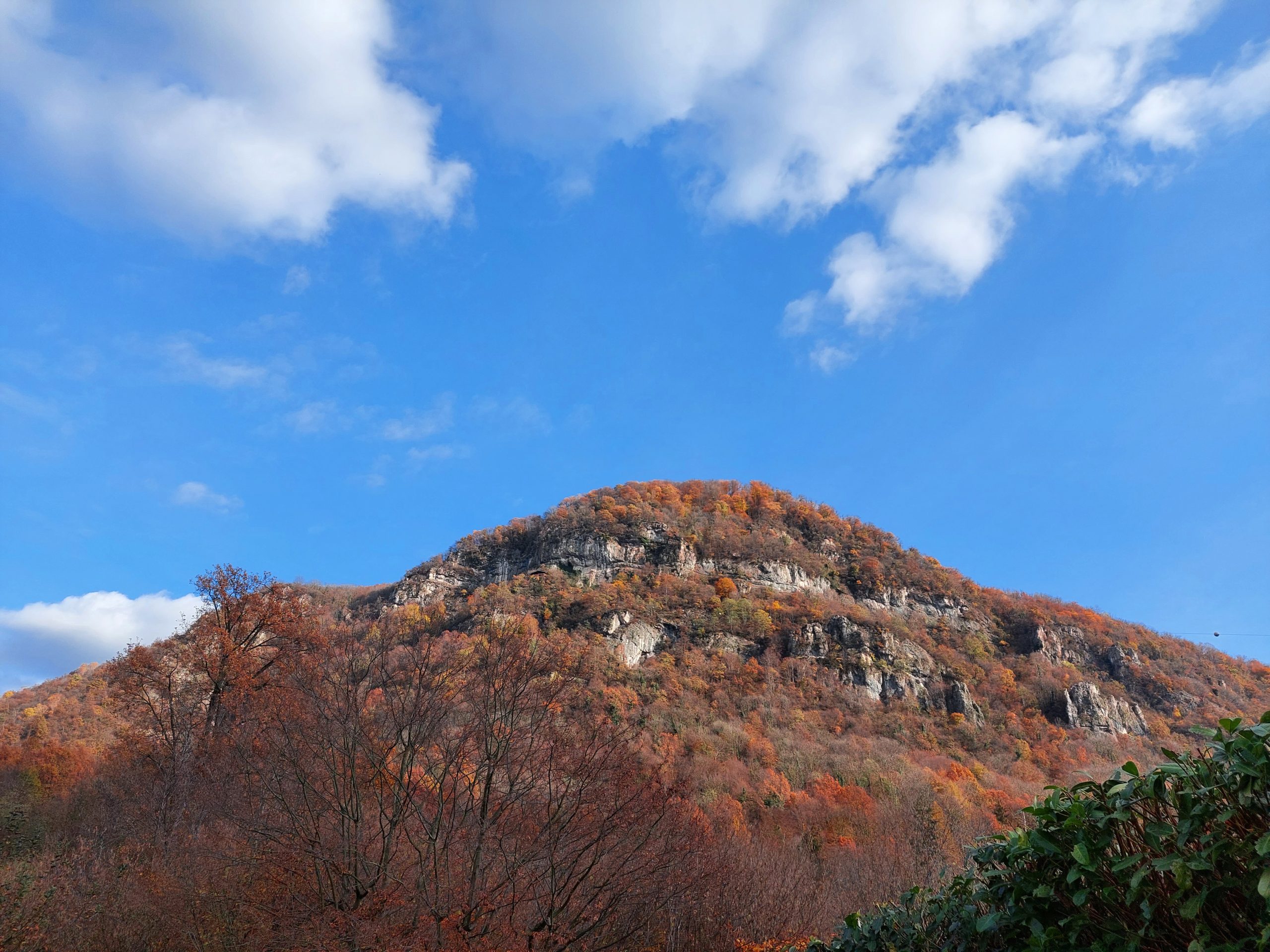
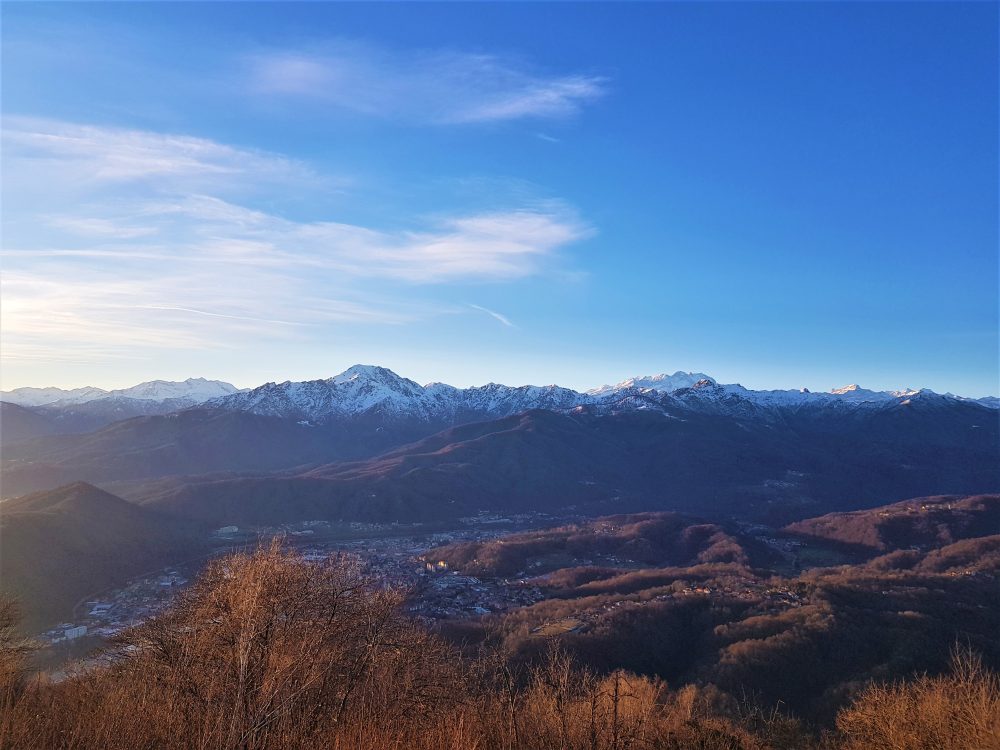
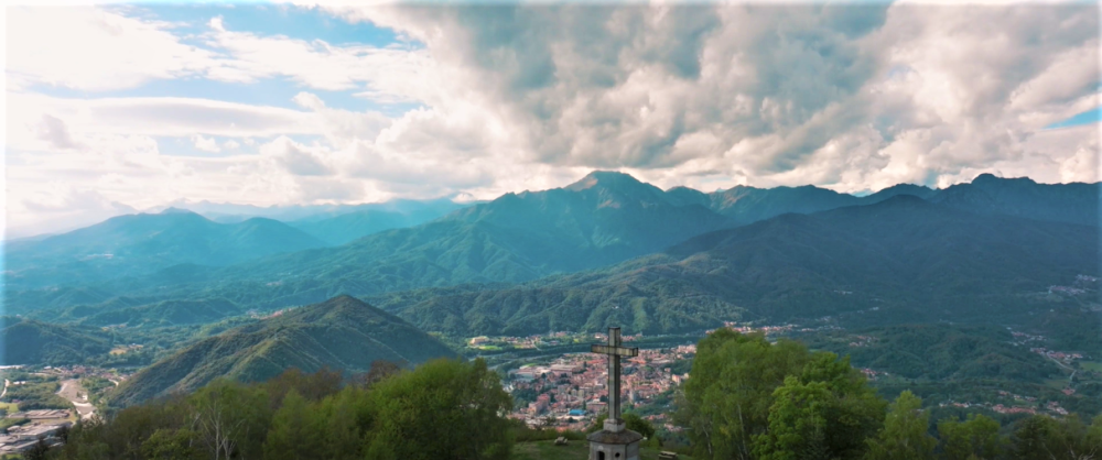
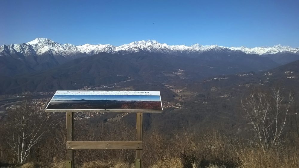
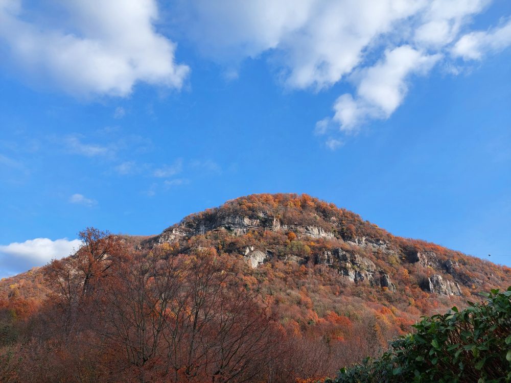
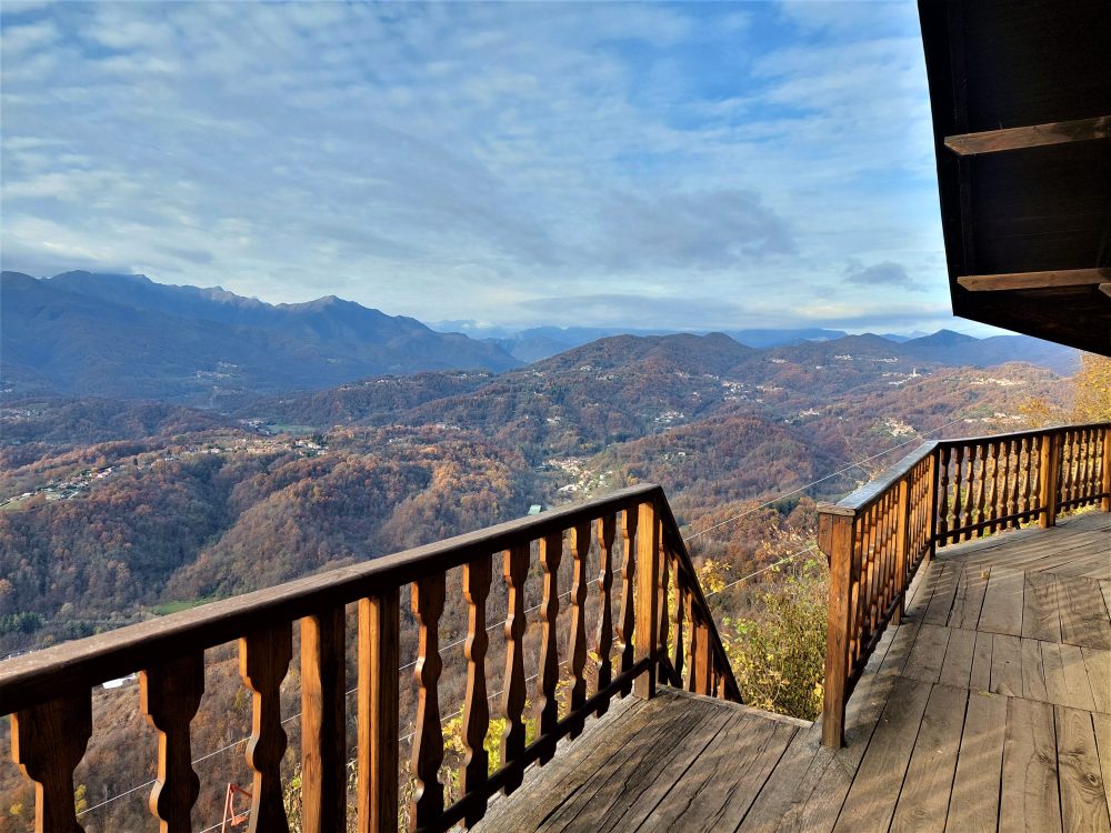
Continuing to keep to the right for about a hundred meters we reach the stone cross located on Cima Bastia, 899m, the culminating point of Mount Fenera from which to enjoy a 360° panorama of Borgosesia and most of the Alps.
The Mount Fenera territory became part of the regional system of protected areas in 1987 with the establishment of the Mount Fenera Natural Park and covers an area of 3378 hectares. The park takes its name from the mountain of the same name, which rises, mighty and lonely, above the foothills of Lower Valsesia and whose profile is recognizable from the Novara and Vercelli plains. Mount Fenera, has on its western slopes numerous caves, some of which are of considerable archaeological and paleontological interest, as they have revealed unique signs in Piedmont of the presence of the Neanderthal man, who lived in these places about 300,000 years ago, the Cave Bear and Merk’s Rhinoceros.
Other routes
recommended
Valsesia has a lot to offer to hiking enthusiasts
Suggestive trails surrounded by nature that offer breathtaking views: be surprised by the beautiful mountains of Valsesia!
how to get there
Info e contacts
C.A.I. – Club Alpino Italiano di Varallo Sesia
CELLIO CON BREIA, fraz. Carega – Monte San Grato
Route / Trekking
Hikes
trail n. 746 CELLIO CON Breia, fraz. Carega – Monte San Grato
Difficulty: medium – EASY
average duration: 1 – 2 hours
departure altitude: 607 mt
arrival altitude: 914 mt
altitude difference: 307 mt
Route description
The route begins near the square of the church of San Matteo in the hamlet of Cellio Con Breia, Carega, 607m, where it also meets route 747 (Borgosesia-Monte Briasco).
Proceed following the paved road and, keeping to the right, cross the village center. When you reach the crossroads with two fountains, keep right with the ascent coming out on the carriage road near the aqueduct storage tank. Keeping to the right on the road to Casaccia, 670m, continue climbing until you reach the small church dedicated to the Name of Mary. Arriving at some houses above, take the mule track to the right and continue until you reach the stone bridge over the Rio di Robbia. From here the mule track begins to climb in hairpin bends and takes us in about 40 minutes to Agarla, at an altitude of 770m. Crossing the square we enter the village passing the oratory of Saints Lorenzo and Apollonia and come out near an unpaved road.
Keeping to the left you enter the carriage road and follow it past the church of San Rocco. Then leaving the road that descends to Breia shortly afterwards on the right, you reach Sella di San Bernardo, 857m.
You can also reach San Bernardo by car by following the carriage roads coming from Cellio or the village of Quarona.
Before the little church, below the restaurant, take the wide dirt road on the left and climb up the road that bypasses on the southern slope Mount Three Crosses of Breia and continuing the route, you gain Mount San Grato, 914m, where there is a pretty little church surrounded by woods.
Mt. San Grato can also be reached from the hamlet of Rozzo di Borgosesia, following the somewhat more strenuous trail No. 745, which arrives just in front of the church.
Other routes
recommended
Valsesia has a lot to offer to hiking enthusiasts
Suggestive trails surrounded by nature that offer breathtaking views: be surprised by the beautiful mountains of Valsesia!
How to get there
Info and contacts
C.A.I. – Club Alpino Italiano di Varallo Sesia
Sentiero Agnona, fraz. BORGOSESIA – POSTUA
Route / Trekking
Hikes
trail n. 719 Agnona, fraz. BORGOSESIA – POSTUA
Difficulty: medium
average duration: 1 -2 hours
departure altitude: 350 mt
arrival altitude: 459 mt
altitude difference: 300 mt
Route description
Route that has always been used as a link between the two localities. In the central part it winds through the valleys of the Venenza stream and its tributaries, in completely wild territory, at times suggestive.
Starting from Borgosesia, from the Bridge of Agnona, 350m, (in the vicinity of which there is a Geosite of the Supervolcano), climb a steep asphalt road and past the first bend proceed straight along the cobbled road that enters the hamlet of Agnona 400m.
Taking the central street of the village, you follow it to the right. You pass the chapel of St. Anthony and the house of the musician Carlo Fassò, near a little fountain, and immediately afterwards turn left taking a steep little road that soon reaches Piancastello.
Past another fountain, leave path 724 on the right and turn left. Climbing steeply on a comfortable mule track you reach Franzano, a locality consisting of a historic mansion with a large park.
Continue flanking this park on a mule track and take the unpaved road at the junction with route 720. Follow it for a few meters and then immediately take the path on the left that descends to the Nanzola stream.
Ascending the opposite slope with a rather steep section to the next shelf is Ruse Rosse, 620m, where the trail continues and then shortly returns to descend to another minor stream. Having gone around some bumps one then passes some basins whose tracks tend to get lost.
Once past the Sacche stream’s reservoir, continue until the trail becomes a mule track and crosses the Venenza stream via a small bridge that shortly after reaches San Rocco di Postua, where it meets route 724, which continues in a short time keeping to the left until it reaches a small chapel.
Across the paved road you can descend to the village of Postua, 459m, and, passing in front of the town hall, the route ends reaching near the parish church.
Other routes
recommended
Valsesia has a lot to offer to hiking enthusiasts
Suggestive trails surrounded by nature that offer breathtaking views: be surprised by the beautiful mountains of Valsesia!