RASSA – Colle del Loo
Route / Trekking
Hikes
TRAIL N. 251 Rassa – Colle del Loo
Difficulty: medium
average duration: 4 – 5 hours
departure altitude: 917 mt
arrival altitude: 2452 mt
altitude difference: 1535 mt
Route description
From the parking lot in Rassa (917m) located across the stream on the left side of the village, follow the paved road to the end and then take the steep road that climbs to the left, then take the mule track near Alpe Crosetti alla Cottura (1055m). Leave the dirt road that continues on a slight incline, and in a few minutes, you reach Alpe Campello, (1099m) where there is a cozy refreshment point.
Continuing on the mule track you pass Alpe Sorba (1151m) and the Prabella Bridge, (1180m), at the junction with the path to Alpe Sorbella. Without crossing the bridge, but continuing uphill, you pass Cascina Antaiua (1220m). Just beyond you can still see an old lime kiln and the characteristic Sorba stream waterfall, the “Gula Talheintha.” Crossing the dirt road, you will soon reach the pasture of Alpe Dosso, (1395m).
Crossing the Artorto stream, you reach the hut of Alpe Massucco, (1528m). The mule track, at first flat, then rising more steeply, leads with a few hairpin bends to Alpe Toso (1649m), where the CAI Support Point of Varallo is located.
The trail follows the Sorba stream to the end of the plateau where the ascent begins with its wide switchbacks. Just before Alpe Lamaccia, (1918m), you ford the Sorba stream. The trail climbs the rocky hump on the right and, after passing a spring, climbs with short hairpin bends and crosses the Rio Nero, an outflow of the Three Bishops’ or Sorba Lakes, and then reaches Alpe del Prato (2218m).
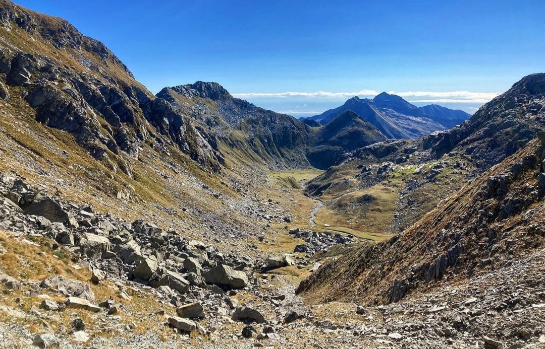
Near the huts, partly ruined, we can admire a slab of rock on which we can distinguish ancient inscriptions in Latin dated August 1751, with the name and surname of the person who made them. Our route continues westward among large boulders, thus reaching Colle del Loo (2452m).
On the opposite side, the trail crosses the Loo Valley and reaches Loomatten and then Gressoney St.Jean in the Lys Valley. The Colle di Loo also allows a northward connection to the Maccagno Pass and Alpe Maccagno (2493m) and then to descend to Riva Valdobbia.
Other routes
recommended
Valsesia has a lot to offer to hiking enthusiasts
Suggestive trails surrounded by nature that offer breathtaking views: be surprised by the beautiful mountains of Valsesia!

how to get there
info and contacts
C.A.I. – Club Alpino Italiano di Varallo Sesia
PIODE – Alpe Il Pizzo – Monte Bo di Valsesia
Route / Trekking
Hikes
trail n. 243 Piode – Alpe Pizzo – Monte Bo di Valsesia
Difficulty: medium
average duration: 3-4 hours
departure altitude: 952 mt
arrival altitude: 2072 mt
altitude difference: 1312 mt
Route description
From the village of Piode, 752m, past the ancient and characteristic bridge over the Sesia River, follow the road briefly to Piedimeggiana, 760m, where the itinerary begins, reaching shortly afterwards the sanctuary of the Madonna delle Pietre Grosse, 814m.
A first section of mule track follows itinerary 241 and climbs to reach the chapel of Madonna delle Pose, 952m. From here you set off on a comfortable mule track surrounded by an attractive beech forest.
You take trail No. 243 at the fork, which leads to Alpe Giumenta and grazes Alpe Balmello, reaching the carriage road at an elevation of about 1480m where you can also arrive by car. The trail continues a little further down the valley.
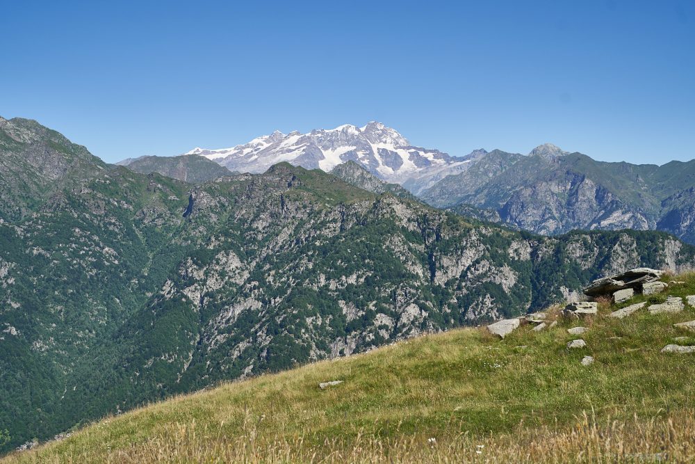
It skims the Piana Alps and reaches Alpe Il Pizzo, 1704m. This alpine pasture, located between the Meggiana basin and Val Sorba, is a genuine balcony overlooking the Val Grande
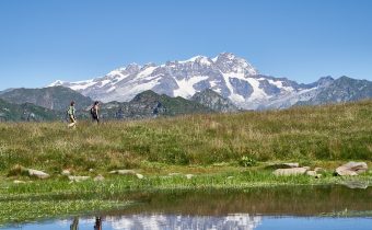
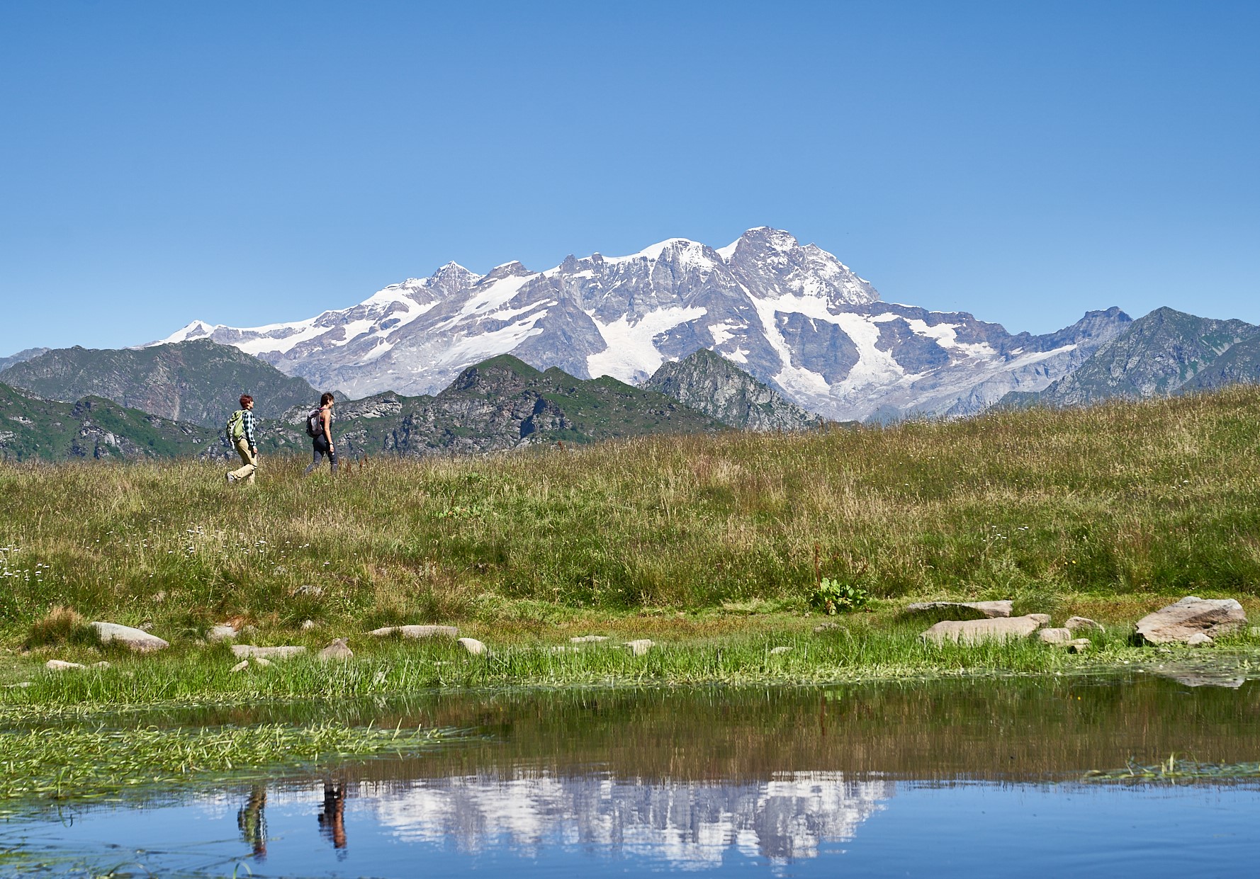
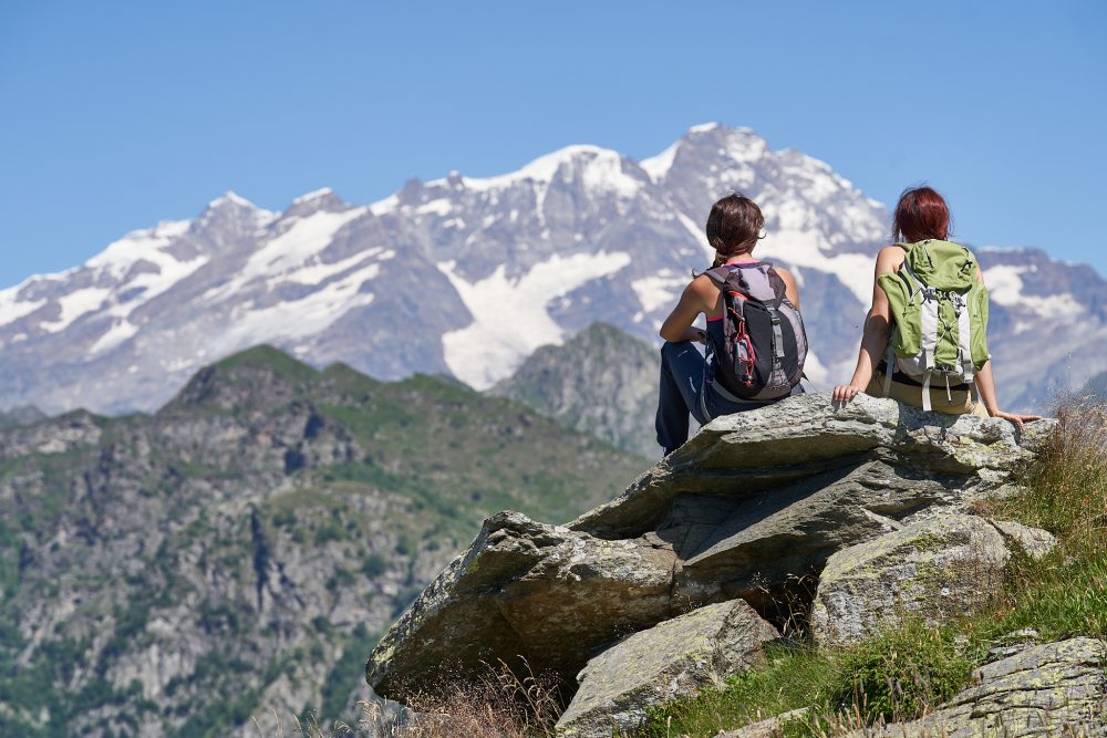
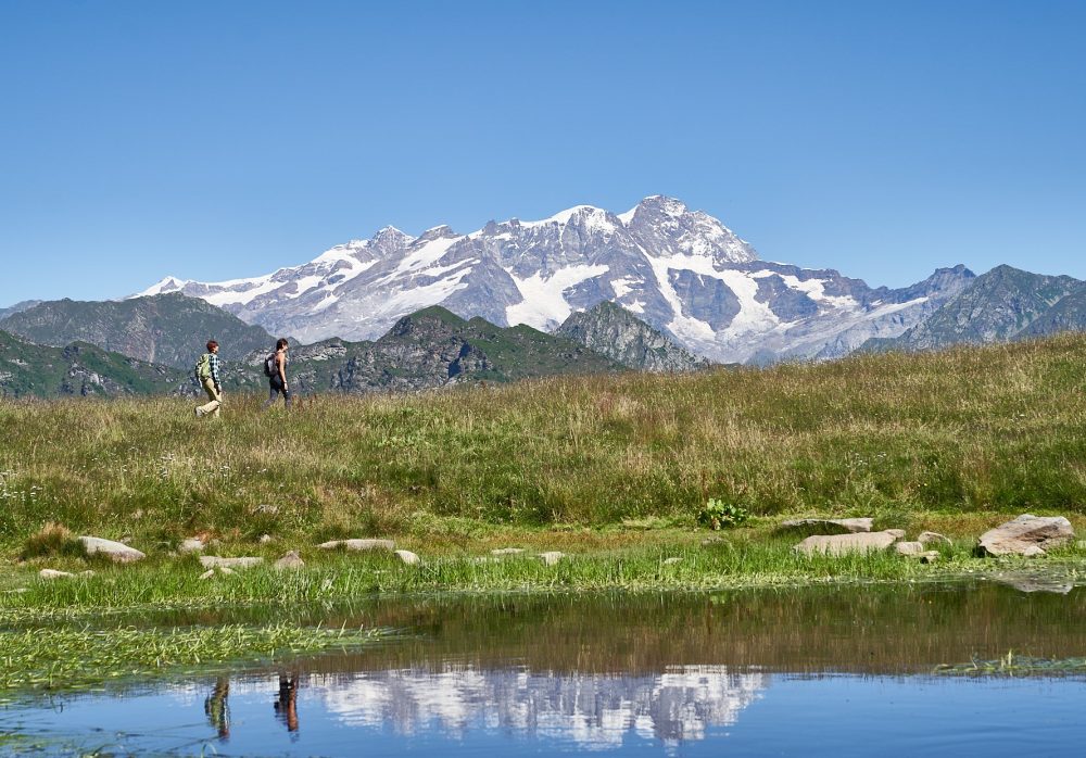
Continuing north on the alpine pasture, one arrives at the picturesque Laghetto del Pizzo, on which the Monte Rosa ranges are reflected. The alpine cottages, the green pasture, the pretty pond and the surrounding mountains with Monte Rosa in the background make this a favorite destination for hikers.
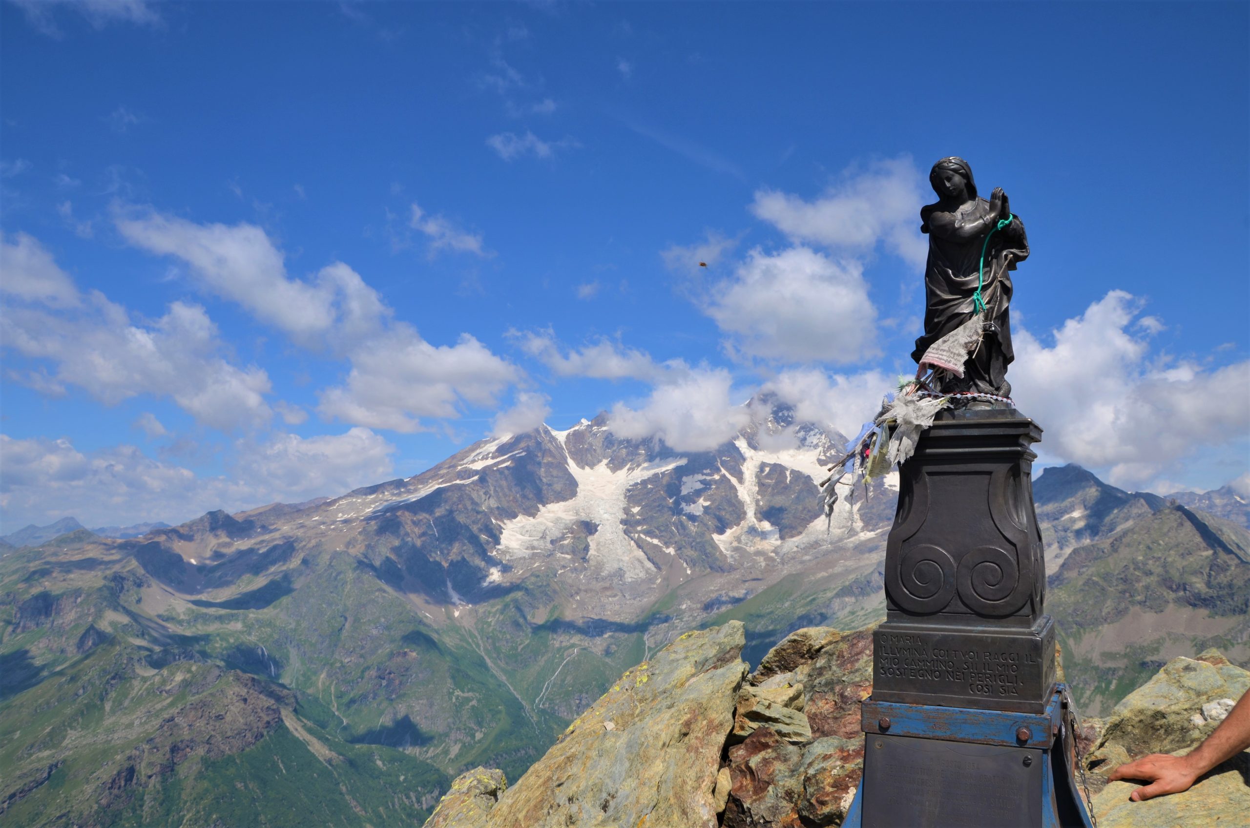
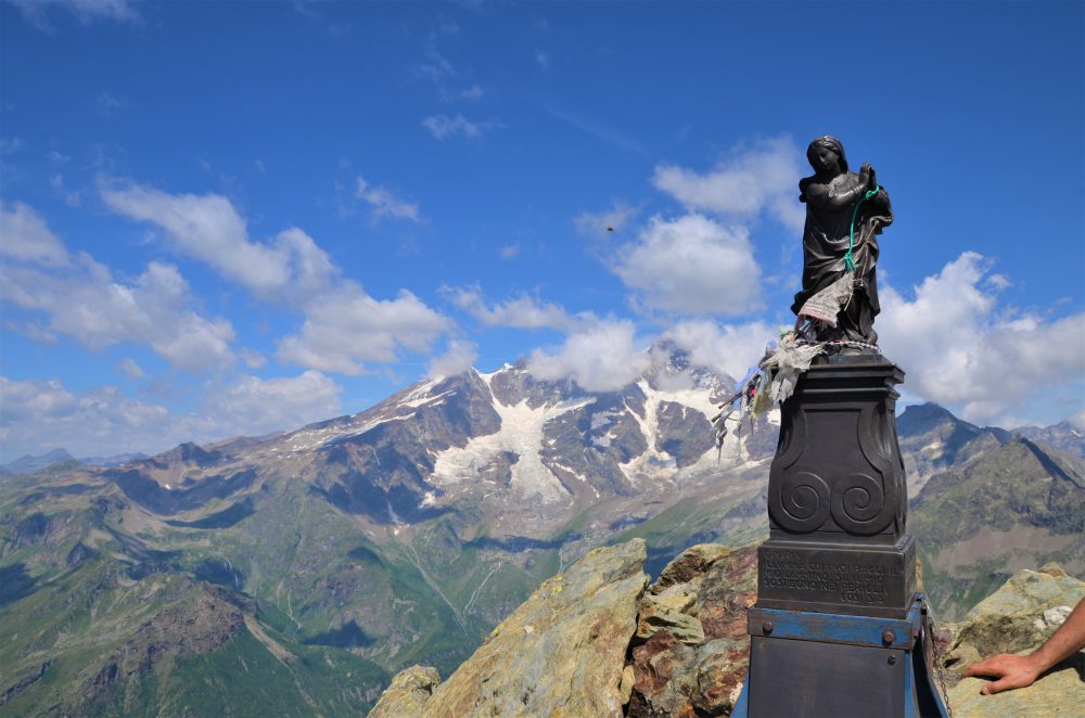
Staying on the main road and bypassing the fork on the right that leads to Alpe Sorbella, you will soon reach the junction for Monte Bo, identified by a large stone. Turning right, about a hundred meters later you meet the bike path that climbs from Rassa heading toward Alpe Meggiana. Behind the explanatory panel and the bike station, take trail 243 again, which climbs to the summit of Mount Bo di Valsesia, 2072m. A statue of the Madonna is placed on the summit.
From Bo Valsesia there is an extensive panorama, especially of the Rassa valleys and surrounding peaks.The summit can also be reached from the village of Rassa, following trail 252. On the opposite ridge there is trail 244 to Colma Colora and the Three Alps Head.
Other routes
recommended
Valsesia has a lot to offer to hiking enthusiasts
Suggestive trails surrounded by nature that offer breathtaking views: be surprised by the beautiful mountains of Valsesia!

How to get there
Info and contacts
C.A.I. – Club Alpino Italiano di Varallo Sesia
PIODE – Alpe Meggiana – la Crocetta
Route / Trekking
Hikes
trail n. 241 Piedimeggiana – alpe Meggiana – la Crocetta
Difficulty: medium
average duration: 2 – 3 hours
departure altitude: 760 mt
arrival altitude: 1779 mt
altitude difference: 1019 mt
Route description
From the village of Piode, 752m, past the ancient and characteristic bridge over the Sesia River, follow the road briefly to Piedimeggiana, 760m, where the route begins, reaching shortly afterwards the sanctuary of the Madonna delle Pietre Grosse, 814m.
A first section of mule track climbs reaching the chapel of Madonna delle Pose, 952m. You continue on path 241 passing the bridge over the Croso del Pè and reach the oratory of Prapolla, 1185m. You then approach the many small houses of the beautiful Alpe Meggiana. You gain the wide pastures of Meggiana, coming out on the paved road that climbs from Piode, which is also passable by car.
From here you follow the asphalt road to the left as it climbs and reach Alpe Sopra il Croso, 1560m, (in about 2 hours) where the Meggiana Refuge is located.
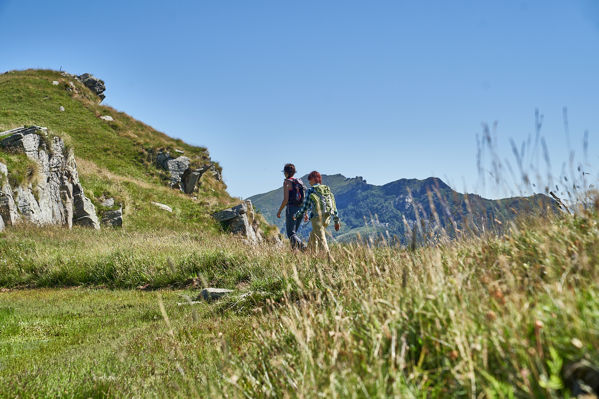
Continue this way on the road that becomes unpaved, cross the Rassa-Mera bike path and, with an uphill traverse, reach La Crocetta, 1779m (in total about 3 hours). This viewpoint is surrounded by some of the most important peaks in these valleys: the Monte Bo di Valsesia, the Testone Tre Alpi and the Cima d’Ometto.
Already at the first cottages of Meggiana, Monte Rosa can be admired in its grandeur. This is a very fascinating route in terms of landscape!
During the ascent, when you arrive on the paved road that climbs from Piode, you may notice a fairly wide dirt road appearing on the right side, which conveniently connects Meggiana to another very picturesque area: the Alpe Pizzo, with its small lake and breathtaking view of Monte Rosa.
Other routes
recommended
Valsesia has a lot to offer to hiking enthusiasts
Suggestive trails surrounded by nature that offer breathtaking views: be surprised by the beautiful mountains of Valsesia!
How to get there
How to get there
C.A.I. – Club Alpino Italiano di Varallo Sesia
PILA/SCOPELLO – Alpe di Mera – Cima d’Ometto
Route / Trekking
Hikes
trail n. 236 Pila – Alpe di Mera – Cima d’Ometto
Difficulty: medium
average duration: 3-4 hours
departure altitude: 686 mt
arrival altitude: 1911 mt
altitude difference: 1225 mt
Route description
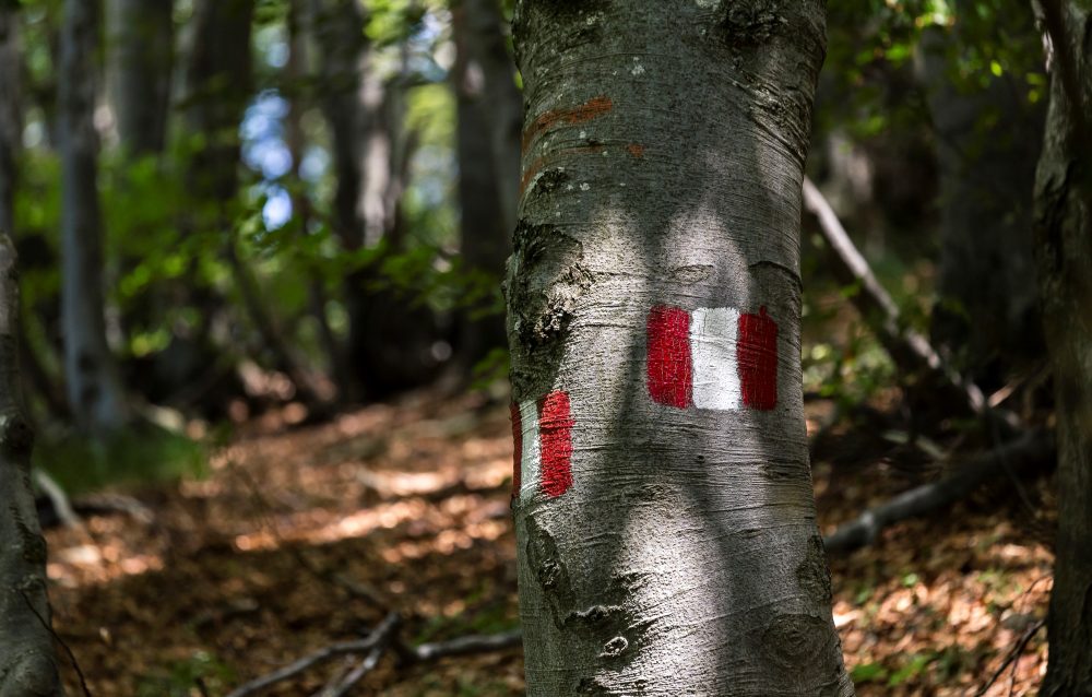
The route begins in Pila, 686m, near the bridge over the Sesia River. From here starts a comfortable mule track that crosses meadows and woods and contours Alpe della Rivaccia.
Climbing, surrounded by beech trees, you pass the cottages of Alpe Pianello, 900m, where there is a chapel , and then reach the huts of Alpe Dughere, 938m. Leaving this now-abandoned alpine pasture, the mule track flanks the ski slope, following it in places, then proceeding back into the woods.
This point of the trail can also be reached from the village of Scopello by taking trail No. 236a, which starts in front of Bar Capriccio, across the bridge over the Sesia River.
This path, which crosses uphill through the forest, connects to our route 236, which at an elevation of 1160m underpasses the valley station of the Pian Rastò ski lift, 1230m, to continue to the edge of the alp pasture.
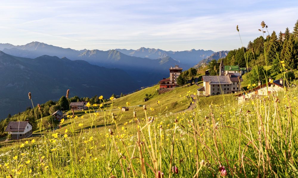
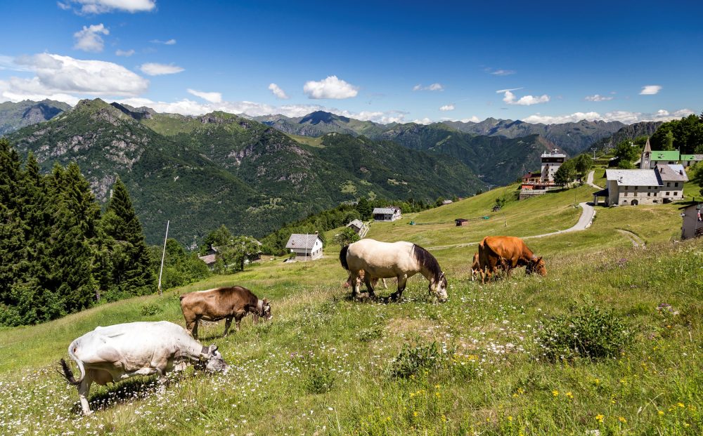
We then cross the meadow of Alpe Ruscàa, 1370m to reach Alpe Ciotto di Sopra, 1385m. The trail proceeds uphill in a southerly direction and enters the beautiful pastures of Alpe di Mera, heading for the little church of Madonna della Neve, 1503m.
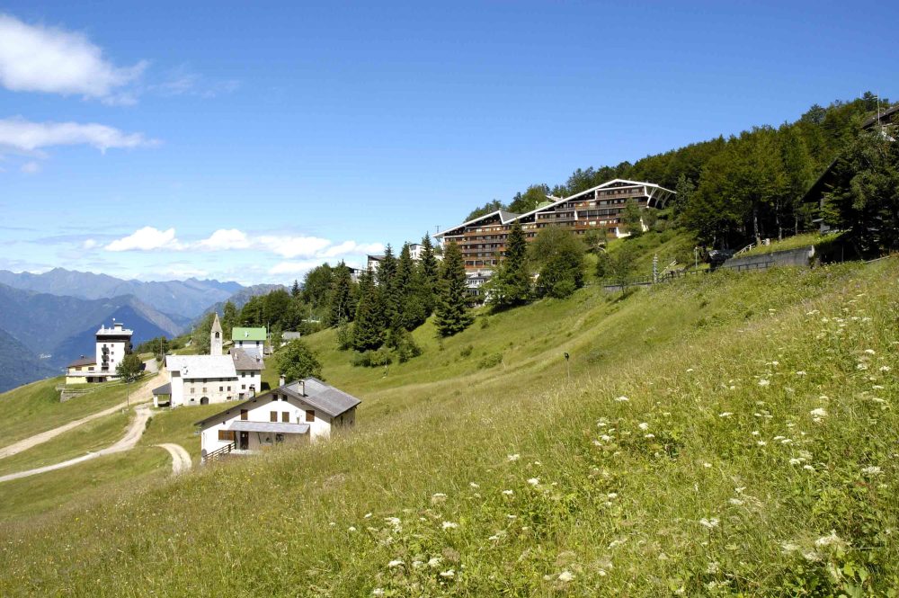
From the oratory continue on the road that climbs to the right, passing under some houses and apartment buildings of Mera, until you reach Alpe Campo, with a cozy restaurant, a pond and a very fun playground for children!
From here you continue with a fair climb, approach the spring of Pian d’Asnin, 1600m, lined with rhododendron bushes, and reach Colma dei Lavaggi, 1720m.
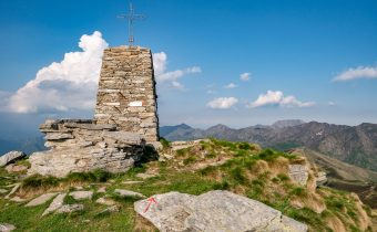
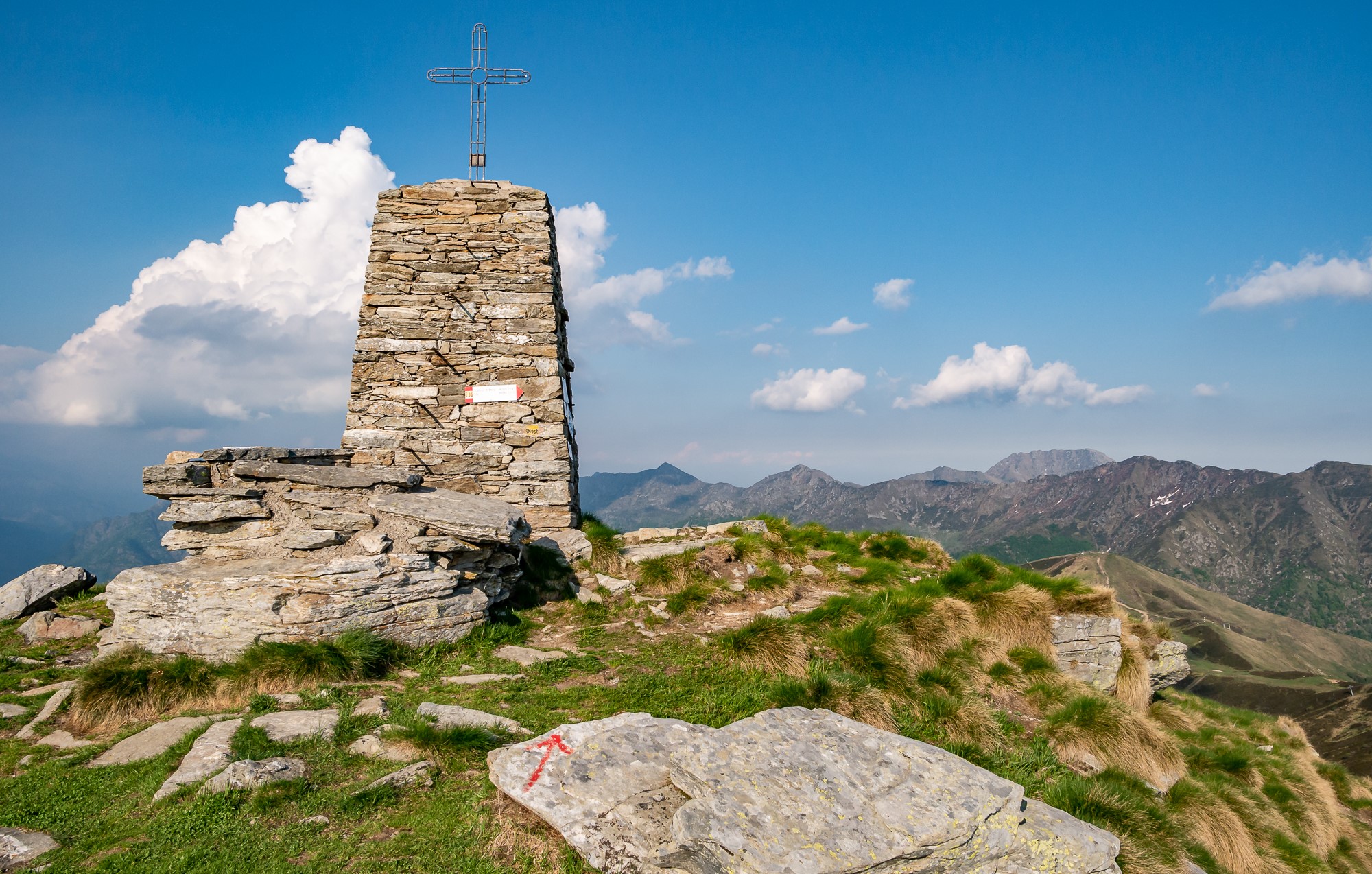
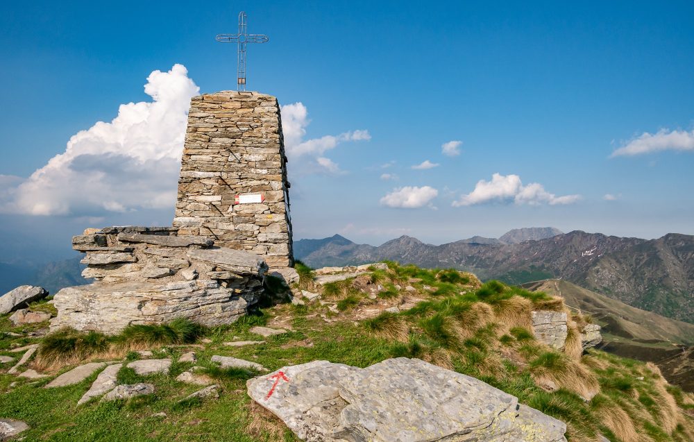
The route now follows the edge of the ridge reaching Cima d’Ometto, 1911m. At the summit there is a stone construction, on which rests an iron cross.
From the summit the view of Monte Rosa and the entire Alpe di Mera, as well as the surrounding valleys, is unique and spectacular! Three ridges branch off from here: the North ridge that divides the Mera basin from the Meggiana basin, the East and West ridges that act as a watershed between the Sesia and Dolca valleys. Following the ridge westward, one can easily reach the Crocetta Pass, 1779m.
Other routes
recommended
Valsesia has a lot to offer to hiking enthusiasts
Suggestive trails surrounded by nature that offer breathtaking views: be surprised by the beautiful mountains of Valsesia!
How to get there
Info and contacts
C.A.I. – Club Alpino Italiano di Varallo Sesia
Rossa – Pizzo Tracciora
Route / Trekking
Hikes
trail n. 400 Rossa – Pizzo Tracciora
Difficulty: medium
average duration: 2 hours
departure altitude: 813 mt
arrival altitude: 1917 mt
altitude difference: 1104 mt
Route description
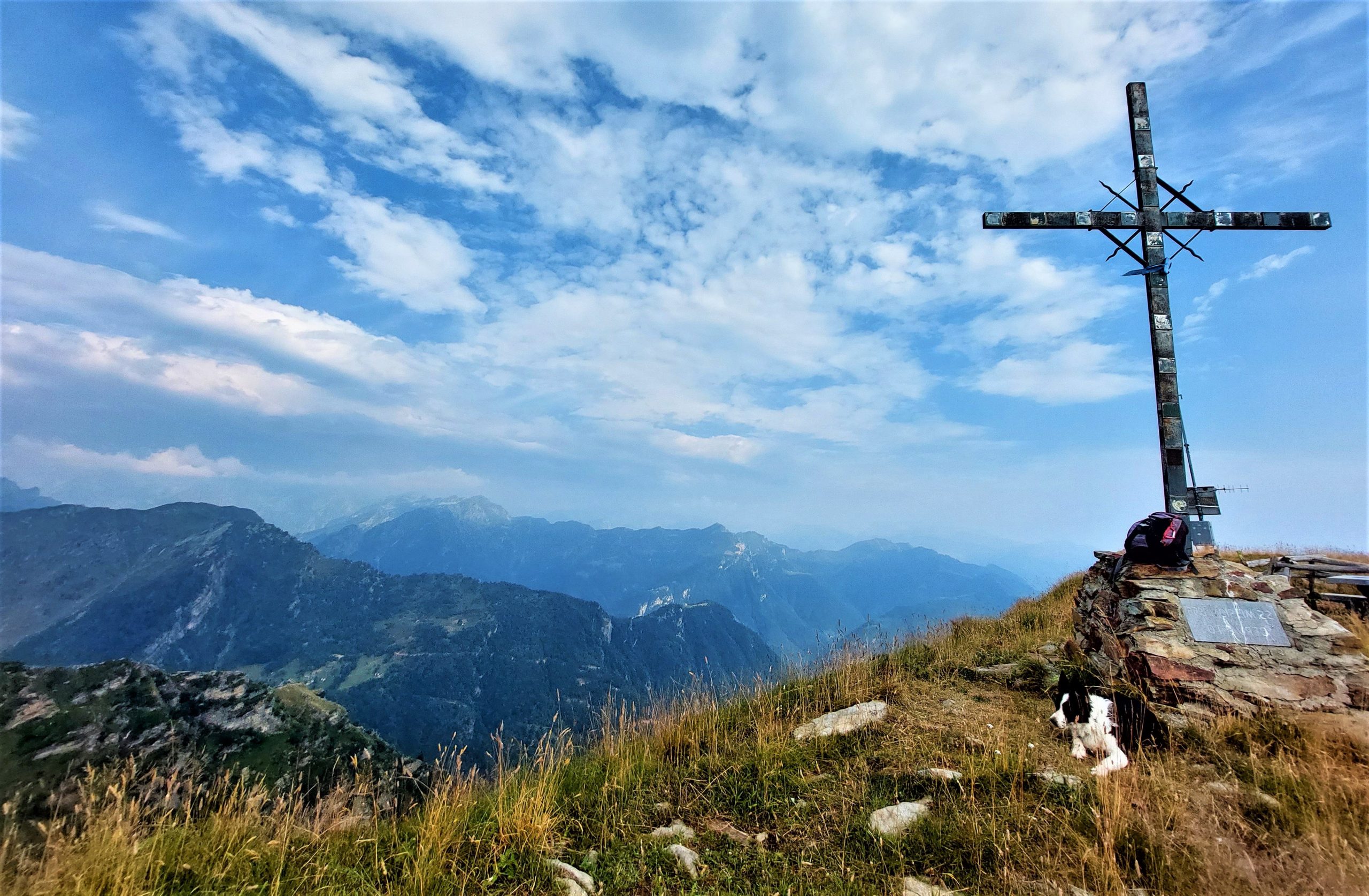
II Pizzo Tracciora is one of Valsesia’s best-known and most popular mountains, thanks to its gentle, rounded shapes, accessibility and central location that offers a splendid 360-degree view of the entire Valley.The itinerary in the first section is part of the Art Trail.
From the central square of the village of Rossa, 813m, take the comfortable mule track that in a short ascent leads to the locality of Vaz, 950m where, on the left begins itinerary 401 that leads to the hamlet of Rainero. Continue straight through meadows and cultivated fields and you reach the hamlet Piana, 1050m, surrounded by two pretty little churches dedicated to St. John the Baptist.
Continuing inside the forest, you climb to Alpe Sella, 1170m and later to Alpe Selletto, 1266m, where stands the “Sleeping Lord Chapel,” so called because of the lying position of the statue of the Redeemer that is placed inside. Right here there has been a conservation intervention by the “Ancient Mountain, Mountain to be Saved” Commission.
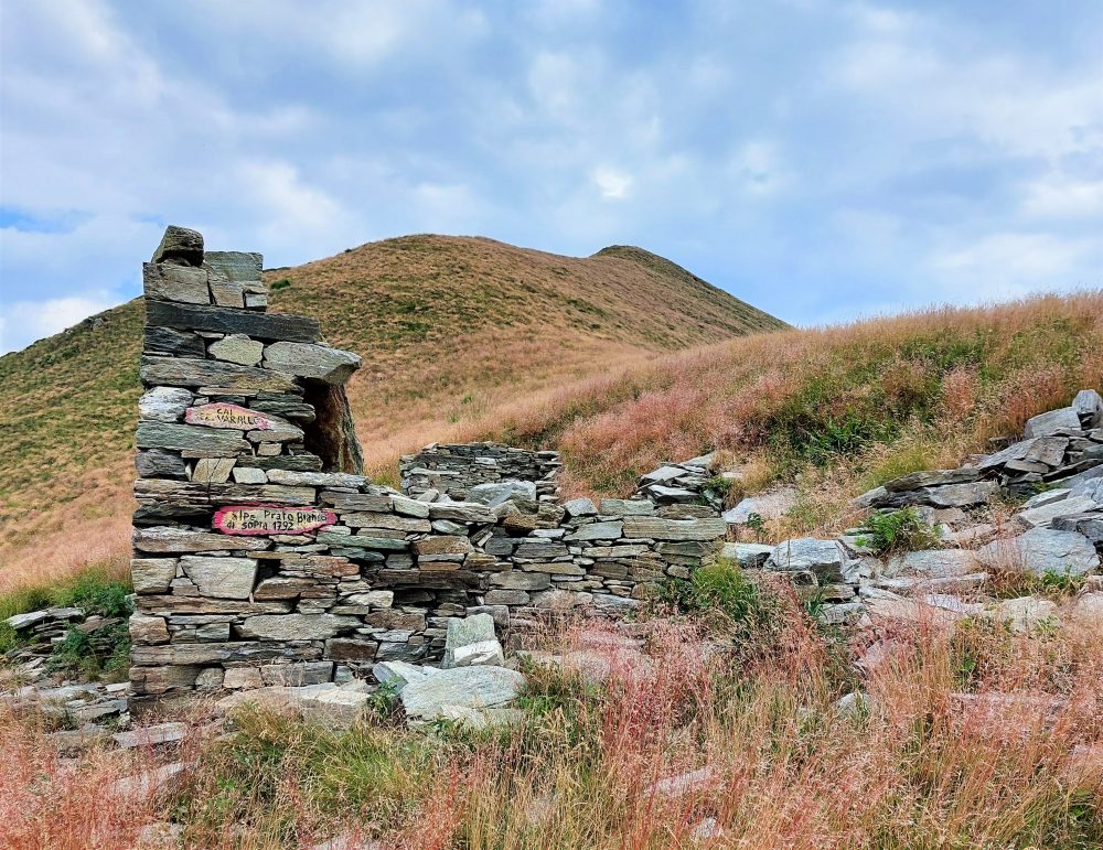
Advancing further through pastures and woods, we move to Alpe Barbughera, 1403m, Alpe Suaroli, and Alpe Campello, 1552m, a vantage point over the Monte Rosa Massif. Continuing on, you enter the forest and transit to “Sass del Bech,” 1650m, finally exiting into the pastures divided between Alpe Prato Bianco di Sotto, 1717m, and Alpe Prato Bianco di Sopra, 1809m, which are named for the wonderful bloom of mountain lilies, aconite-leaved buttercups, and other beautiful species of alpine flora that cover them in spring and summer.
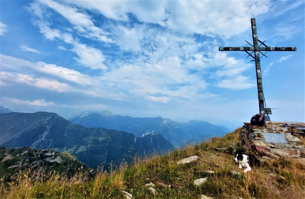
Continue on the grassy hillside and with an increasingly gentler slope you reach the summit of Pizzo Tracciora, 1917m, marked by a cross and a memorial stone erected in 1967 to mark the centenary of the CAI section of Varallo.
From here there is an extensive panorama sweeping over the upper Mastallone Valley, the Sermenza Valley and the chain of the Western Alps with Monte Rosa in the foreground.
Other routes
recommended
Valsesia has a lot to offer to hiking enthusiasts
Suggestive trails surrounded by nature that offer breathtaking views: be surprised by the beautiful mountains of Valsesia!

How to get there
Info and contacts
C.A.I. – Club Alpino Italiano di Varallo Sesia
BOCCIOLETO – Alpe Seccio
Route / Trekking
Hikes
trail n. 387 Boccioleto – Alpe Seccio
Difficulty: medium
average duration: 2-3 hours
departure altitude: 667 mt
arrival altitude: 1263 mt
altitude difference: 764 mt
Route description
This itinerary is part of the Valsesia Art Trails. In fact, it is rich in art testimonies distributed along the entire route, including the center of Boccioleto itself, the small churches of Ronchi, Ormezzano, Solivo, the chapel of Selletto and especially the Church of Seccio, with frescoes from the first half of the 15th century.
From the center of the village of Boccioleto, 667m, cross the residential area and take trail 387, a comfortable mule track that, in about 20 min, leads to the hamlet of Ronchi, 814m. (Those wishing to shorten the route can skip this first section and drive directly up along the carriage road.)
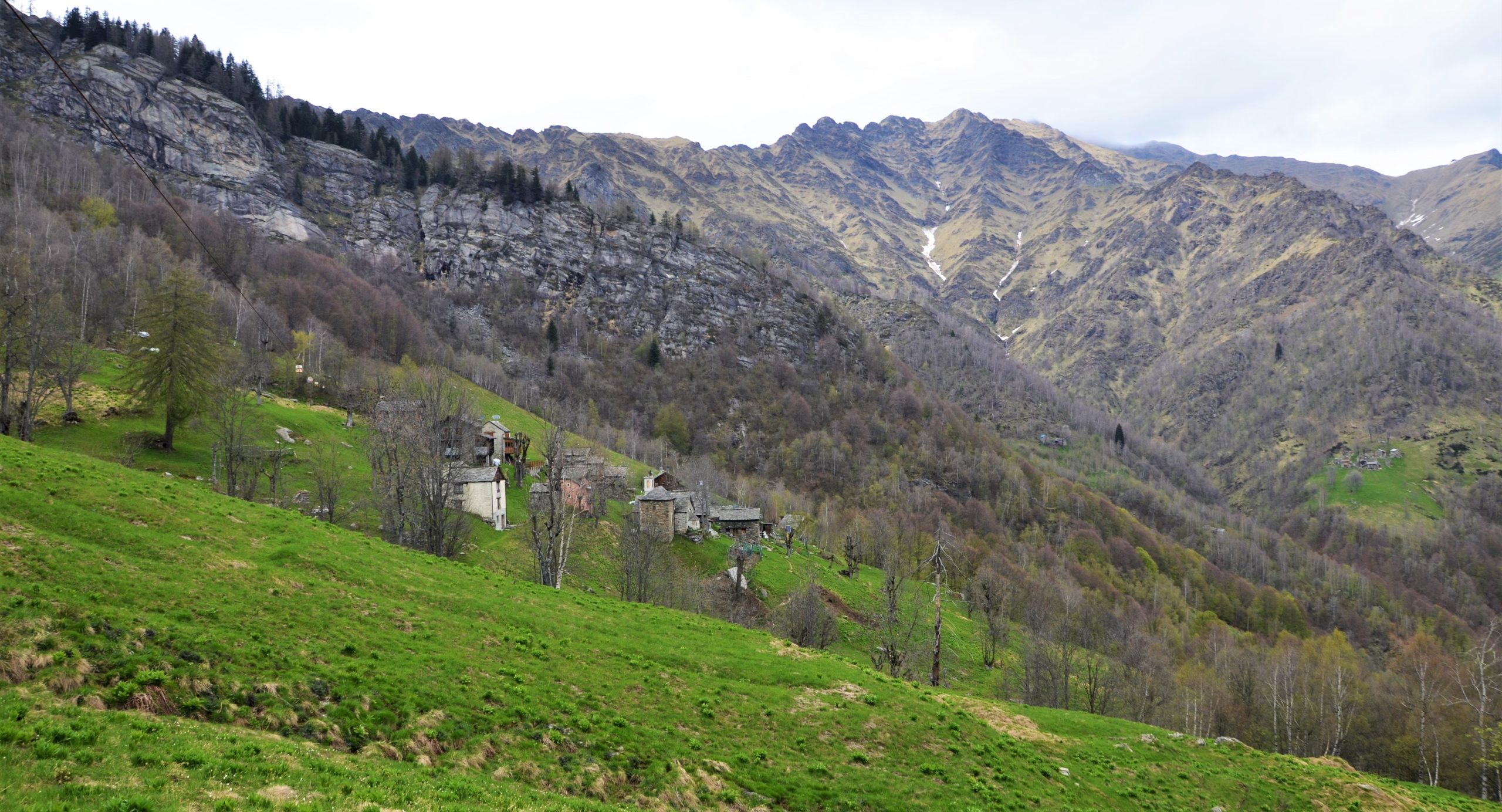
The church of Ronchi with its frescoed facade is only the first valuable building encountered along this route. From here the mule track winds through meadows and woods, passes the Genestroso chapel and, crossing the carriage road, reaches the hamlet of Ormezzano, 964m, situated on a slope. Going along one more stretch of road, another inhabited hamlet can be found: Solivo, 1017m, characterized by the pretty little church and oratory of San Nicolao, renewed in its architectural parts by the Commission “Montagna antica, montagna da salvare.”
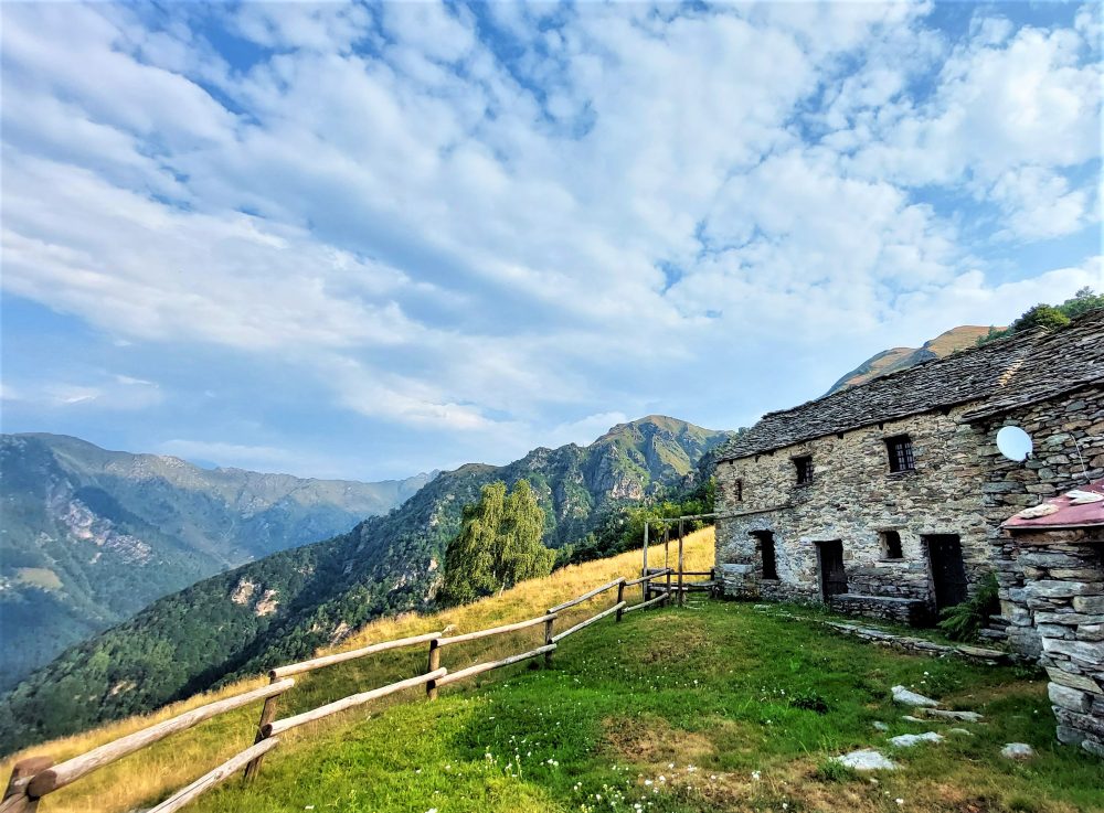
Immediately afterwards the mule track becomes steeper as it enters the forest, passing Selletto at an altitude of 1208m, and then crosses the Daloch Alps, 1261m, Sul Sasso, and then reaches Alpe Seccio 1390m, a wide alpine pasture where there are numerous mountain dwellings.
Here stands a small church of considerable artistic significance, dating back to the 15th century and dedicated to St. Lawrence, believed by some to be the oldest in Val Sermenza.
From the Alpe you can continue to descend until you reach the Cavaione stream, crossing it by a small bridge and then climbing the opposite slope to reach Alpe Sull’Oro, 1263m. Here you meet routes 396 and 399, which descend to Rossa and Boccioleto, and the second to Rainero.
Other routes
recommended
Valsesia has a lot to offer to hiking enthusiasts
Suggestive trails surrounded by nature that offer breathtaking views: be surprised by the beautiful mountains of Valsesia!
How to get there
Info and contacts
C.A.I. – Club Alpino Italiano di Varallo Sesia
Rimasco – Alpe Campo
Route / Trekking
Hikes
trail n. 370 Rimasco – Alpe Pian della Ratta – Alpe Campo – Siunal
Difficulty: medium – EASY
average duration: 1 – 2 hours
departure altitude: 906 mt
arrival altitude: 1492 mt
altitude difference: 586 mt
Route description
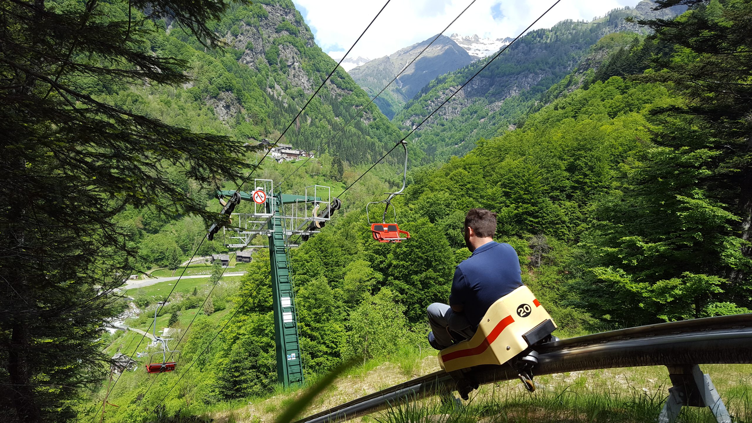
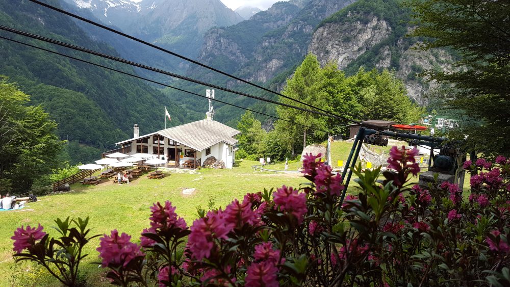
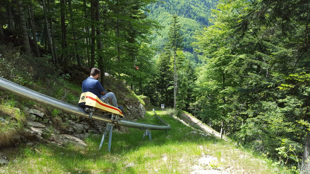
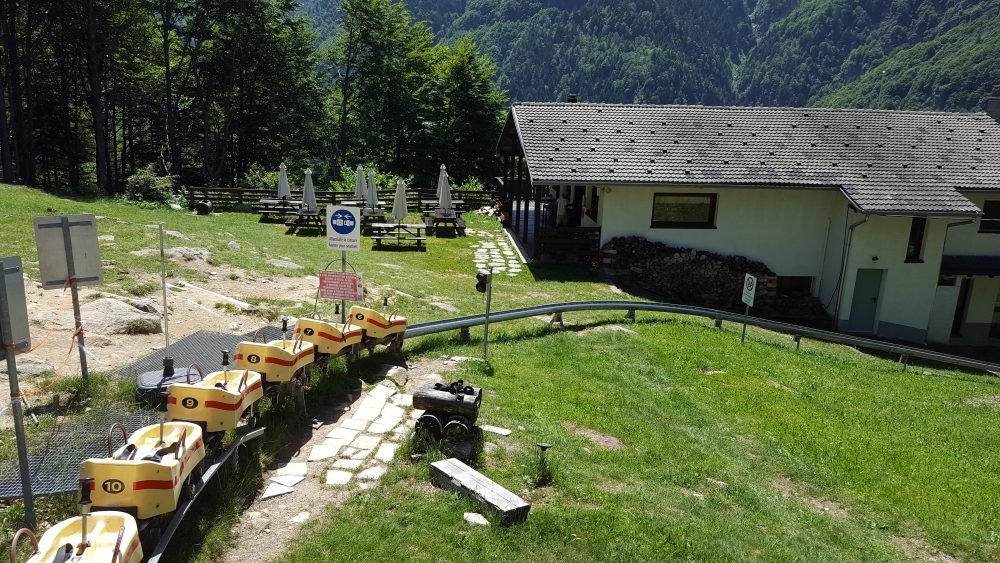
Leaving the village of Rimasco, just after the church of Santa Croce, cross the Egua stream and arrive at Sponde del Lago. Proceed as you enter a deciduous forest and in about 45 minutes you reach Pian della Ratta, 1140m, the arrival station of the chairlift and starting point of the fun summer bobsleigh, with the Alpe Campo Refuge.
Try the adrenaline-pumping fun bobsled on rails, ideal for a fun-filled day!
You cross the shelf keeping to the left and then climb up the edge of the Vecchia meadow to enter the woods and ascend it to come out in the vicinity of the Alpe Pianali hut, 1360m. You keep to the edge of the forest and shortly afterwards return, turning left, thus arriving at Alpe Campo, 1390m.
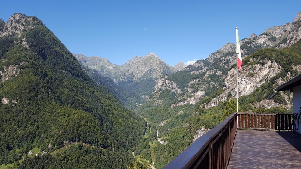
Wanting to continue the itinerary beyond the alp, turn right up the slope and reach a saddle on the slopes of Cima Castello. Following the ridge to the right to the summit of the hump, at Siunal, at an altitude of 1492m, you have a magnificent view of Monte Rosa, Tagliaferro and the entire Sermenza Valley.
Other routes
recommended
Valsesia has a lot to offer to hiking enthusiasts
Suggestive trails surrounded by nature that offer breathtaking views: be surprised by the beautiful mountains of Valsesia!
How to get there
Info and contacts
C.A.I. – Club Alpino Italiano di Varallo Sesia
RIMA – Monte Tagliaferro
Route / Trekking
Hikes
trail n. 318 Rima – Monte Tagliaferro
Difficulty: EE – Experienced Hikers
average duration: 4 hours
departure altitude: 1411 mt
arrival altitude: 2964 mt
altitude difference: 1553 mt
Route description
The route starts from the village of Rima, 1411m, and the first part of the trail is shared first with the 292 mule track to the Little Altar Pass, and then with the 296 to the Mud Pass, up to an elevation of about 1700m (in about 30/45min). Abandoning the mule track, take trail 318, which drops off to the left, crosses the Rio Valmontasca and continues on level ground to Alpe Scarpia di Sotto, 1712m.
Proceed diagonally uphill to reach Alpe Scarpia di Sopra, 1916m. From the alpine pasture move left and reach a large boulder near which flows a spring and on which is placed a plaque. Climbing to the left through pastures and slabs we reach Vallarolo Pass, 2332m.
Our route points west instead and reaches a giant boulder that provides precarious natural shelter. The trail accentuates the slope until it takes you below the vertical of a very steep grassy slope for which, with narrow, exposed switchbacks, you gain the Passo del Gatto, 2730m, (in about 3 hours). On the opposite side climbs the track from Bocchetta della Moanda, recently equipped by Alagna guides; EEA.
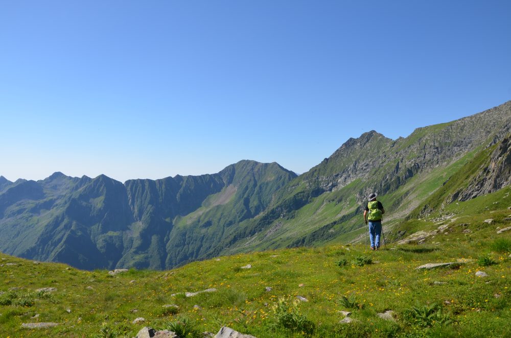
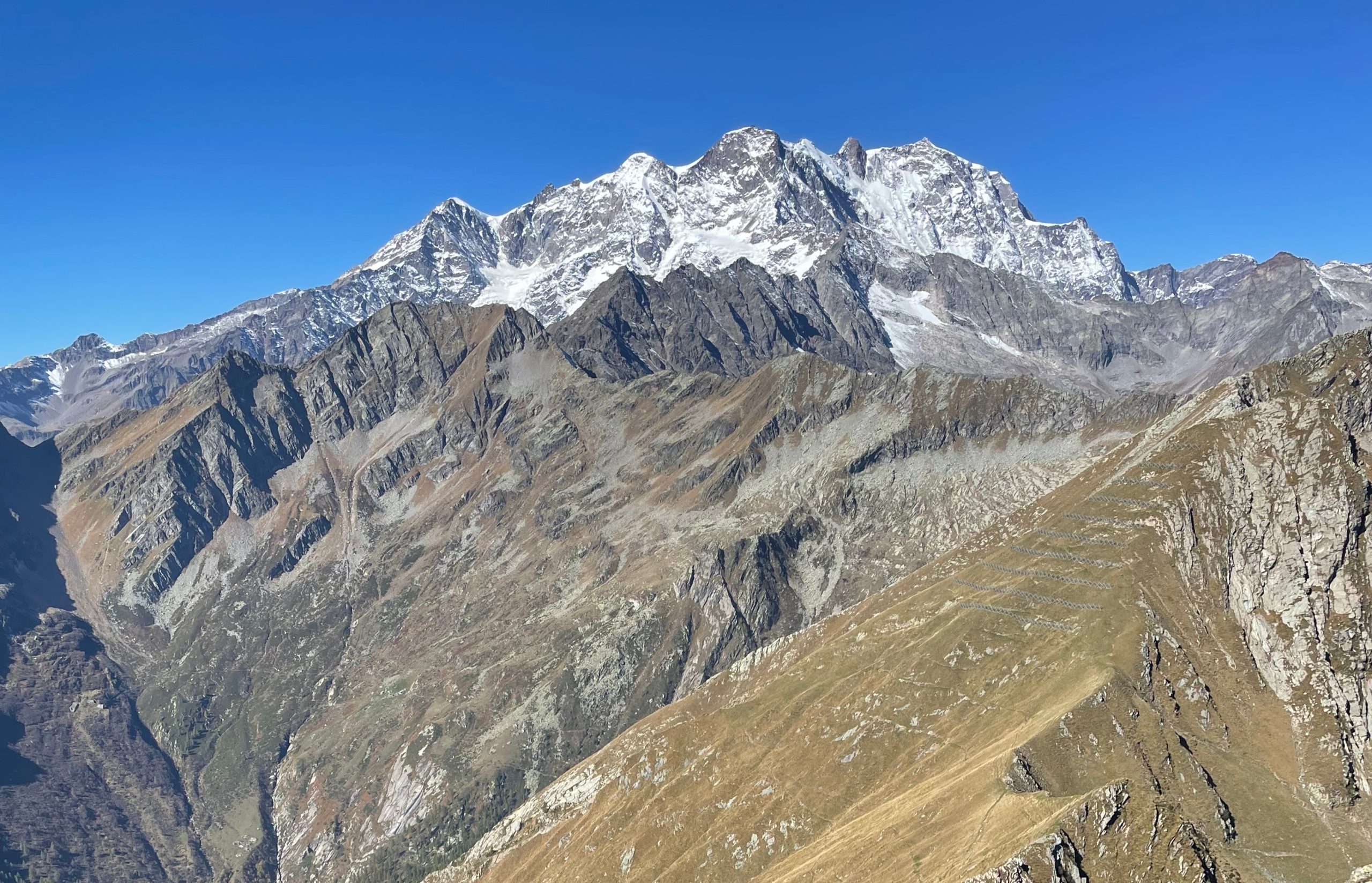
Turning right, follow the trail that cuts across the steep mountainside and reaches the ridge of rocks and boulders that leads to the summit of Mount Tagliaferro, 2964m, (in about 4 hours total). From the summit the view is unique and breathtaking, a veritable window looking directly into Monte Rosa!
Other routes
recommended
Valsesia has a lot to offer to hiking enthusiasts
Suggestive trails surrounded by nature that offer breathtaking views: be surprised by the beautiful mountains of Valsesia!
How to get there
Info and contacts
C.A.I. – Club Alpino Italiano di Varallo Sesia
RIMA – Colle del Termo
Route / Trekking
Hikes
trail n. 293 Rima – Colle del termo
Difficulty: medium
average duration: 2 – 3 hours
departure altitude: 1411 mt
arrival altitude: 2351 mt
altitude difference: 940 mt
Route description
It is the classic traverse route between Rima and Carcoforo. It is part of the GTA (Great Traverse of the Alps), the Great Walser Trail, the Via Alpina and the Cai Italy Trail.
From the back of the church located in Rima, 1411m, a beautiful mule track leaves the village heading east, and climbs in hairpin bends through the woods and reaches Alpe Chiaffera or Ciaffera, 1706m, in about an hour. It continues through coniferous forest to a very steep grassy slope with short, numerous narrow hairpin bends until it comes out on Colle del Termo, 2351m, (in about 2h30).
From here you can comfortably descend to Carcoforo by taking trail No. 112.
Turning right you can reach Cima Lampone, 2586m (caution: mountaineering path), while to the left, following the ridge with an unmarked path, you can climb to Cima del Tiglio, 2545m.
Other routes
recommended
Valsesia has a lot to offer to hiking enthusiasts
Suggestive trails surrounded by nature that offer breathtaking views: be surprised by the beautiful mountains of Valsesia!
How to get there
Info and contacts
C.A.I. – Club Alpino Italiano di Varallo Sesia
RIMA – Colle del Vallè
Route / Trekking
Hikes
trail n. 291 Rima – Colle del Vallè
Difficulty: medium
average duration: 3 hours
departure altitude: 1411 mt
arrival altitude: 2625 mt
altitude difference: 1214 mt
Route description
From the square in Rima, 1411m, cross the village, take the mule track and heading out to the pastures, head moderately uphill on the left bank of the stream. You ford the Croso del Vallé and continue on the right bank. From here the slope becomes steeper and shortly afterwards you pass Alpe Vallaracco at an altitude of about 1600m.
You pass through a larch grove and numerous rhododendron bushes and reach Alpe Brusiccia, 1943m, where there are excellent panoramic views of the valley floor. You leave the alp by taking the mule track to the right along which, at an altitude of 1988m, there is a small chapel.
Continuing on you reach Alpe Vallezö, 2167m, characterized by some characteristic huts. After a short flat section you reach the buildings of Alpe Vallè di Sopra, 2175m, where the Vallè hut owned by the Alta Valsesia Natural Park is located.
At the back of the alp you climb north through pastures and rocks where the path is not always clearly visible. Follow the signs to the upper part of the valley. Passing the scree, you reach the final slope and narrow notch of Colle del Vallè, 2625m, (total about 3h30).
This trail leads to one of the passes between Val Sermenza and Valle Anzasca, rarely taken as a traverse because the easier and more practical Colle del Piccolo Altare is preferred.
From the pass one can traverse at high altitude to the Colle della Bottiggia and descend to Val d’Egua and Carcoforo.
Other routes
recommended
Valsesia has a lot to offer to hiking enthusiasts
Suggestive trails surrounded by nature that offer breathtaking views: be surprised by the beautiful mountains of Valsesia!
How to get there
Info and contacts
C.A.I. – Club Alpino Italiano di Varallo Sesia
CARCOFORO – Rif. Massero – Colle della Bottiggia
Route / Trekking
Hikes
trail n. 113 Carcoforo – Rif. Massero – Colle della Bottiggia
Difficulty: medium
average duration: 4 hours
departure altitude: 1304 mt
arrival altitude: 2607 mt
altitude difference: 1303 mt
Route description
The route to the Bottiggia Pass is the most convenient route between Carcoforo and Macugnaga. It is a long route, but of considerable interest, especially scenic.
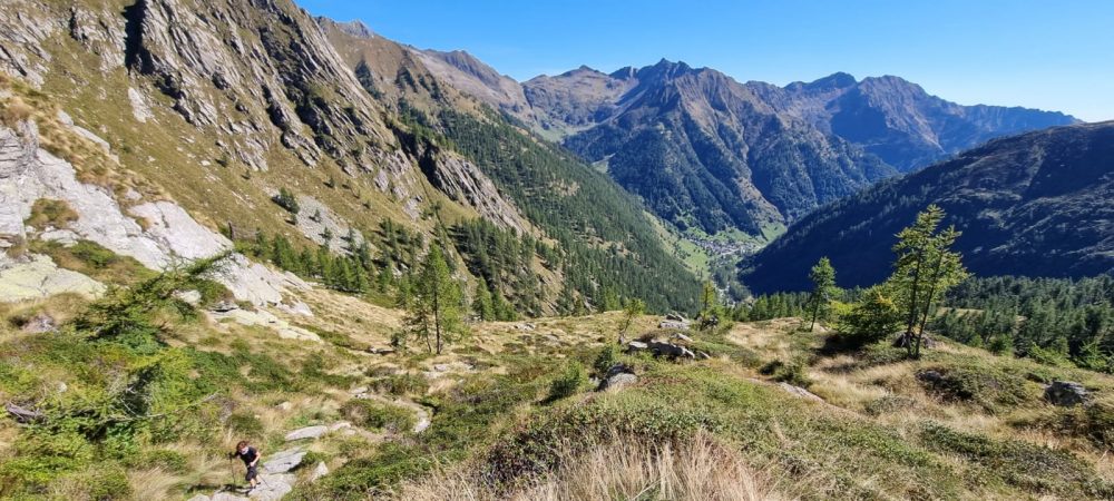
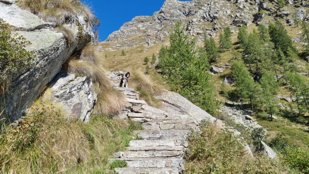
From the parking lot in the village of Carcoforo, past the bridge over the Egua stream, follow the road shared with itineraries 112 and 117 to Alpe Le Coste, where you turn off right onto 117, which leads to Passo della Miniera. Crossing Rio Giovanchera and Rio Fornetto, leave trail 112 on the left, which continues to Colle del Termo. You then take the path through the woods until you reach Alpe Chignolo.
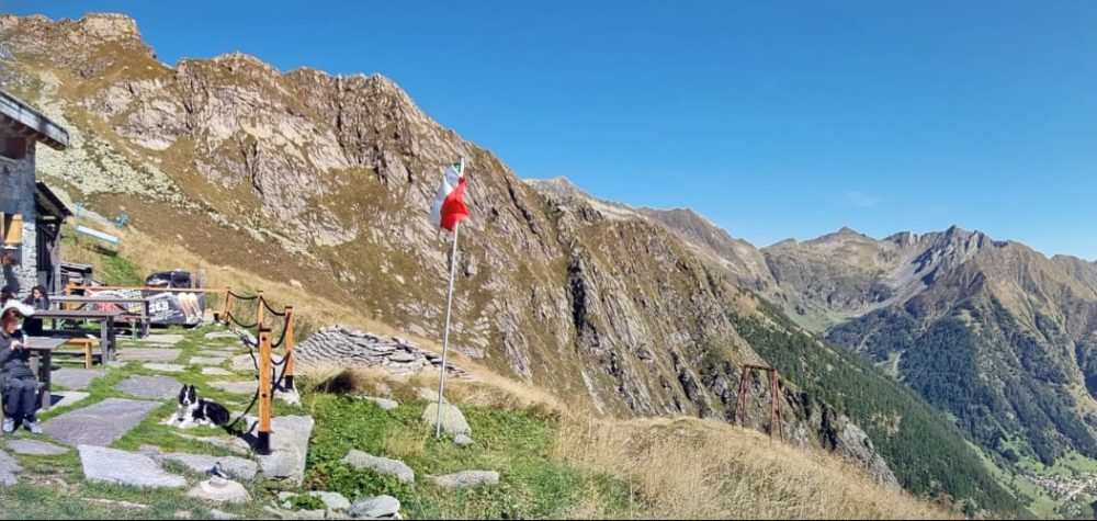
You still zigzag up the steep slope and reach the vast pasture of Alpe Fornetto, 1926m. At the top of the Alpe you reach Rifugio Massero, 2082m, (in about 2h30) open and guarded from June to September.
Continue in an open environment among extensive pastures, slabs, rocks and scree. Enter the valley and follow the path towards the depression of the pass that can be glimpsed to the east, dominated to the right by the Torrioni di Val Quarazza, and with arduous ascent you reach the Colle della Bottiggia, (in about 4 hours).
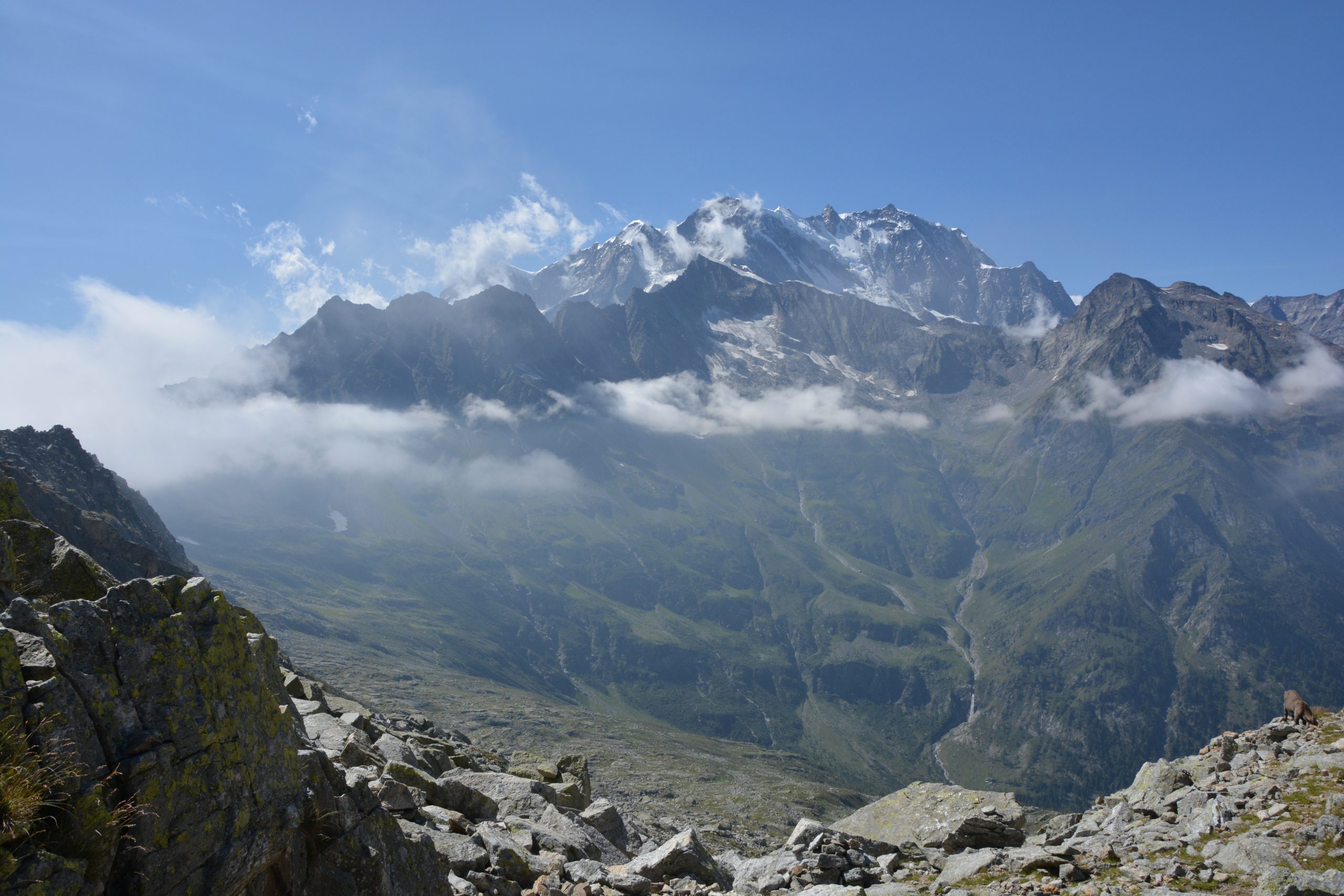
From here there is a stunning view of Val Quarazza and the south and east faces of Monte Rosa.
From the pass you can descend to Alpe Schena, 2005m, then to Borca, hamlet of Macugnaga (trail B98A).
Other routes
recommended
Valsesia has a lot to offer to hiking enthusiasts
Suggestive trails surrounded by nature that offer breathtaking views: be surprised by the beautiful mountains of Valsesia!

How to get there
Info and contacts
C.A.I. – Club Alpino Italiano di Varallo Sesia
CARCOFORO – Colle d’ Egua
Route / Trekking
Hikes
trail n. 122 Carcoforo – Colle d’ Egua
Difficulty: medium
average duration: 2 – 3 hours
departure altitude: 1304 mt
arrival altitude: 2239 mt
altitude difference: 935 mt
Route description
It is one of the classic historic traverse routes to connect Carcoforo with the Mastallone Valley and the Anzasca Valley. It is part of the route of the Great Traverse of the Alps (GTA), the Great Walser Trail, the Via Alpina and the Cai Italia Trail.
From the center of Carcoforo, located on the hydrographical right side of the Egua stream, continue toward the houses upstream of the village, then rising through meadows and passing by the little Torbe chapel. One enters Val d’Egua continuing with a moderate climb finding a larch grove on the left. You cross the Rio Passone, a affluent of the Egua, leaving the alpine huts of Alpi Giacc and Casera Bianca, 1523m, in the valley, leading to Alpe Piovale, 1637m. Climbing a few more meters, at 1685m rises the Boffalora Majerna hut, reachable in about an hour.
The trail then grazes Alpe Egua, 1799m, and reaches Alpe Sellette, 1915m.
From here, keeping to the left ridge, it reaches Colle d’Egua, 2239m, in about 2h30/3 hours total.
In 2013 a stone building was inaugurated near the col to house the Volpone-Sesone Bivouac, equipped with 12 beds, stove, stove and services.
Descending the northeast slope you enter the Mastallone Valley (route 517) and, having reached Alpe Selle, 1824m, you can descend to the right through the Baranca Valley to Fobello.
Other routes
recommended
Valsesia has a lot to offer to hiking enthusiasts
Suggestive trails surrounded by nature that offer breathtaking views: be surprised by the beautiful mountains of Valsesia!