ALAGNA, Fraz. Pedemonte – Colle Mud
Route / Trekking
Hikes
trail n. 208 Pedemonte – Colle Mud
This route has great importance as a traverse, but it is also the approach trail to what is the most classic of Valsesia’s mountaineering climbs, “The North Ridge of Mount Tagliaferro”
difficulty: medium
average duration: 2-3 hours
departure altitude: 1242 mt
arrival altitude: 2324 mt
altitude difference: 1802 mt
Route description
From the village of Alagna, follow the carriage road that runs alongside the Sesia River until you cross the bridge to the hamlet of Pedemonte on the right, where at the end of the paved road you will find a parking lot for cars.
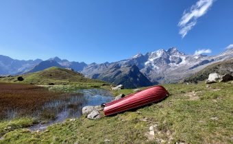
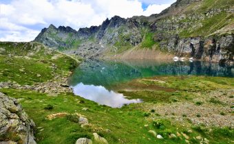
Just beyond the parking lot, take path 209, which runs along the left bank of the Mud stream to the wooden bridge. Then cross over to the other bank and follow the staircase mule track. After passing a balm, you cross a small stream and then continue on a nice path that after about an hour’s walk reaches the cottages of Z’Ise hus (Iron House), 1627m. Now continue on the right side of the stream to pass by Alpe Mud di qua, 1887m, consisting of four huts that are just over a hundred meters from Alpe Mud di là located on the west side of the trail.
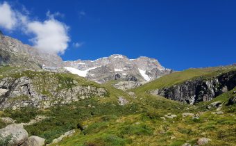
Keeping always on the mountainside, crossing three streams, we reach the cottages of Alpe Venghi, 2042m (2h). Past this alpine pasture, you enter the part of the valley dominated by Mount Tagliaferro.
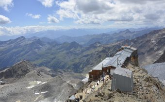
The trail here passes between the ruins of two mountain huts and then climbs to reach the cottages of Alpe Superiore or Mud di Sopra 2264m, repurposed and turned into Rifugio Ferioli.
A short climb of moderate gradient leads to the Mud Pass, 2324m (total 2h30). The pass is symbolized by two cairns erected with stones: one is on the Alagna side, the other on the Rima side.
The pass can also be reached by following path 296 from the village of Rima, in Val Sermenza (find out the route).
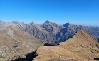
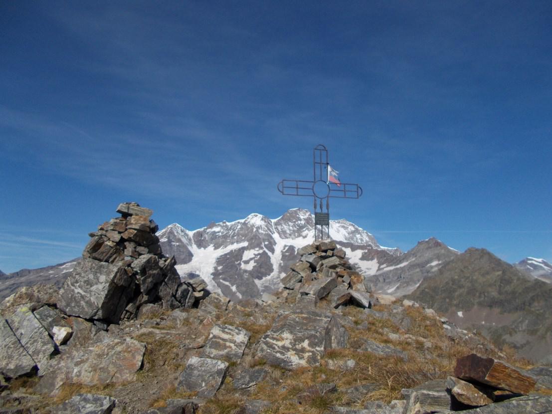
Those who want to try to climb up to the extreme tip of the trail, i.e., the Corno Mud, can try to follow the unmarked (and not on the GPX track) trail for experienced hikers that starts right from the Colle Mud. The fairly steep trail consists of several switchbacks to the summit, marked only by a few stone cairns along the way. In about an hour and a half you reach the summit, symbolized by a metal cross placed on top of the Corno: behind it you have a direct and surreal view of Monte Rosa.
how to get there
info and contacts
C.A.I. – Club Alpino Italiano di Varallo Sesia
Other routes
recommended
Valsesia has a lot to offer to hiking enthusiasts
Suggestive trails surrounded by nature that offer breathtaking views: be surprised by the beautiful mountains of Valsesia!