ALAGNA – Laghi Tailly
Route / Trekking
Hikes
trail n. 203a Alagna – Laghi Tailly
difficulty: medium
average duration: 2-3 hours
departure altitude: 1191 mt
arrival altitude: 2428 mt
altitude difference: 1237 mt
Route description
The route begins in the center of Alagna, at the Alagna Union. From here, continue left on the paved path that leads to the hamlet of Riale Superiore and, having crossed the carriage road, the trail begins: the Olterstiga, that is, the ascent of Otro. Shortly after passing the Stiga cottage and leaving the path down to the Caldaia di Otro (Olter Chessi) on the left, you will reach a characteristic fountain at an altitude of 1420m in about 30min.
At this point you follow the path that continues to the left, leaving the path 203 that climbs into Val d’Otro, along the comfortable and shady mule track goes flat into the valley. You cross the Otro stream on a wooden bridge and slightly uphill through the woods you reach a grassy clearing. Crossing the Rio Taill, you arrive at the pasture of Alpe Dsender (Undre Dsender), 1625m.
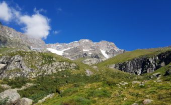
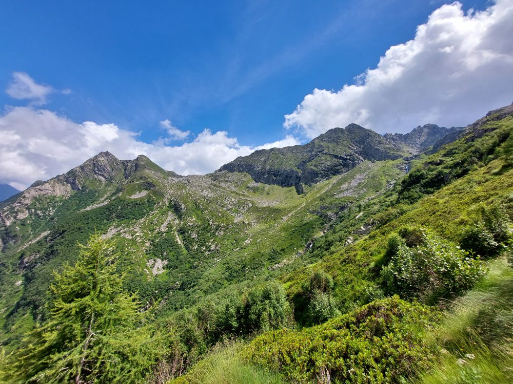
The trail turns left and steeply uphill, reaching the plateau of Pian dell’Asino, 1829m. The trail continues steeply again and then reaches Alpe Tailly, 2065m.
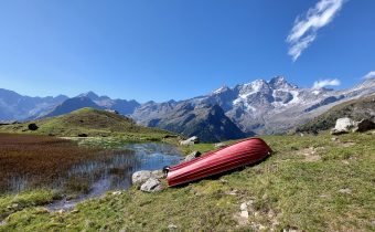
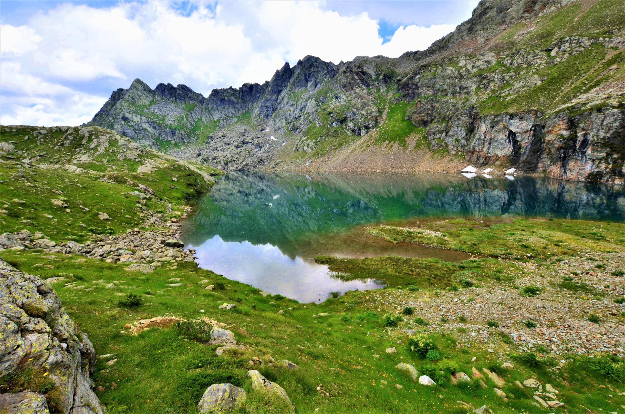
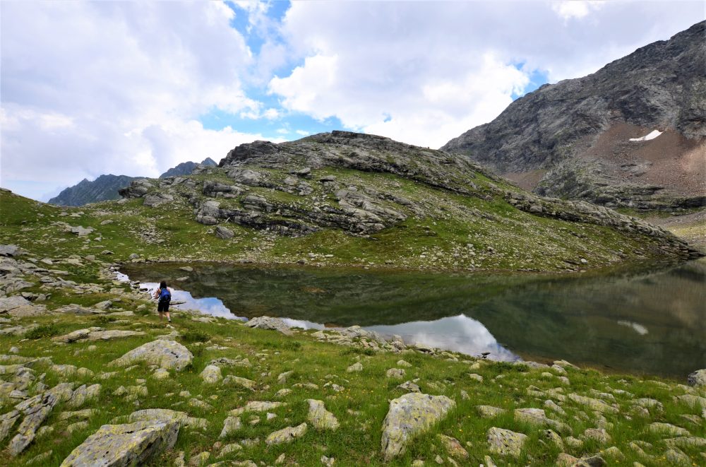
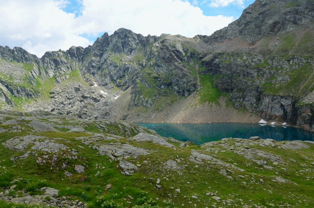
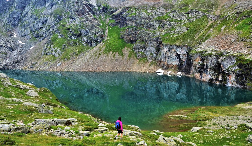
Continue behind the alpine pasture and follow a long diagonal between rocks and short grassy shelves until you arrive on the side of a hump that closes the basin of the lakes, at the bottom of which is the picturesque Lower Tailly Lake, 2382m.
Rounding the hump on the right, you reach Upper Tailly Lake, 2428m (total about 2h30), which is smaller and shallower
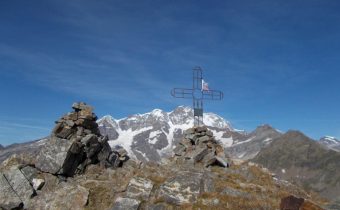
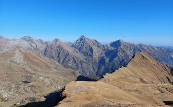
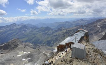
The Tailly Lakes can also be reached by taking the Alta Via Tullio Vidoni (AVTV), a route for experienced hikers: to the right the Alta Via heads to Bivacco Ravelli, 2503m (route 203e).

Other routes
recommended
Valsesia has a lot to offer to hiking enthusiasts
Suggestive trails surrounded by nature that offer breathtaking views: be surprised by the beautiful mountains of Valsesia!