ALAGNA – Alpe Pianmisura – Passo Zube
Route / Trekking
Hikes
trail n. 203b Alpe Pianmisura – Passo Zube
difficulty: medium
average duration: 2-3 hours
starting altitude:
alpe pianmisura 1835 mt
arrival altitude: 2872 mt
altitude difference: 1037 mt
Route description
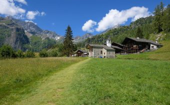
Alpe Pianmisura Piccola can be reached from Alagna, 1191m, by the Vallone d’Otro following trail 203 in an hour and a half, with an elevation gain of 644m.
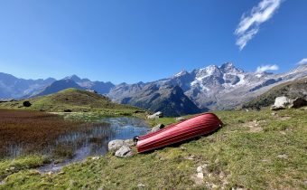
From the alpine pasture of Pianmisura Piccola, 1835m, keep to the right to follow the Rio Foric, leaving just above, opposite, Pianmisura Grande, 1848m.
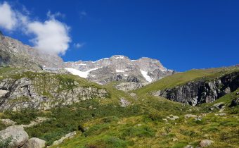
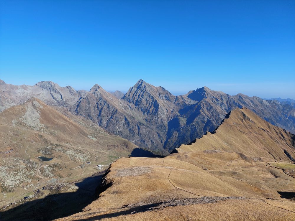
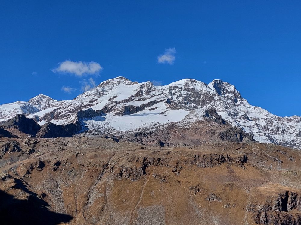
It climbs by taking a few hairpin bends on the path, steep in places, that runs northward through the valley. At the top, a series of more comfortable slopes lead to Foric Pass, 2432m (in about 2 hours), a panoramic point directly overlooking Monte Rosa and the Vallone d’Olen (reached by trail 205b).
From the pass continue on trail 203b on the left, and leave Alpe Zube, 2515m, behind at a short distance. Climb a steep grassy hump and go around a second rocky drop to the left, then rise over the vast meadows of the slope.
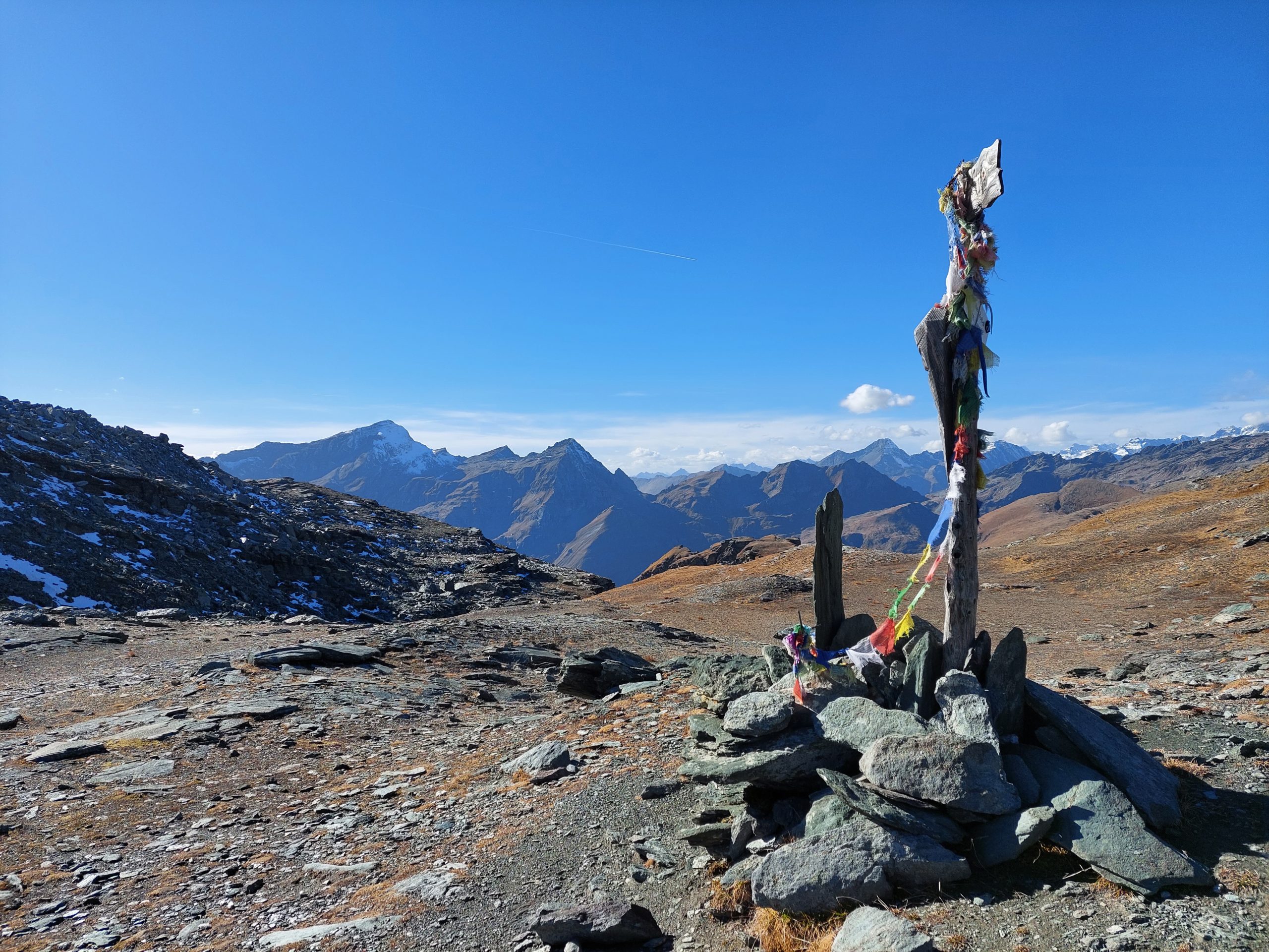
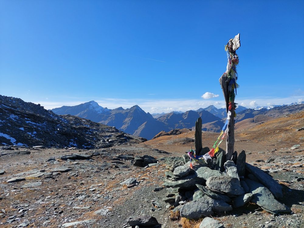
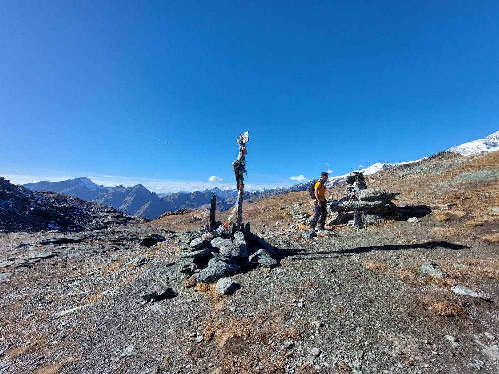
Aim for the pass and enter the gully, which gradually becomes scree, until you reach Zube Pass, 2872m (total about 3h30).
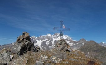
The pass, high over the basin of the homonymous name, leads into the Lys Valley and joins the path from Gressoney up to Col d’Olen, bypassing Corno Rosso,3023m (reachable in about 30/45 minutes, EE – for experienced hikers).
Other routes
recommended
Valsesia has a lot to offer to hiking enthusiasts
Suggestive trails surrounded by nature that offer breathtaking views: be surprised by the beautiful mountains of Valsesia!