ALAGNA, Fraz. Pedemonte – Alpe Campo – Alpe Sattal/Bocchetta della Moanda
Route / Trekking
Hikes
trail n. 209 Pedemonte – Alpe Campo – Alpe Sattal/Bocchetta della Moanda
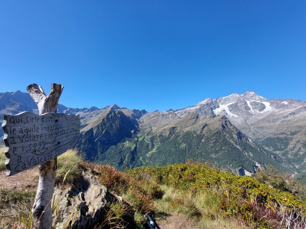
A long and scenic trail that allows the traverse from Alagna to Rima and is also the normal route to climb Mount Tagliaferro from Alagna
Difficulty: medium
Difficulty: medium
departure altitude: 1242 mt
arrival altitude: Bocchetta della moanda 2422 mt
altitude difference: 1180 mt
Route description
From the village of Alagna, follow the carriage road that runs alongside the Sesia River until you cross the bridge to the hamlet of Pedemonte on the right, where at the end of the paved road you will find a parking lot for cars.
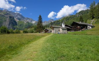
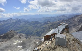
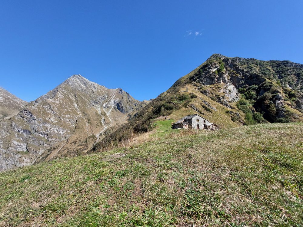
Just beyond the parking lot, take path 209, which approaches the hamlet of Ronchi (Im Rong) and crosses Wittwosma Inferiore. After crossing the Rio Campo after a short ascent, you reach the pasture of Upper Wittwosma (30 min). You then pass between a group of huts and climb up a steep path past the Rio Campo Waterfall (Kamp Zuba), thus reaching the depression of this watercourse. At this point you may notice a sign indicating on the right the path leading to the Alpe Sattal hut, 2097m: from Pedemonte in about 2 hours you can reach this beautiful alp where you will find the Alpe Sattal hut, a mountain B&B with Monte Rosa view.
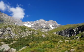
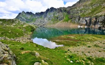
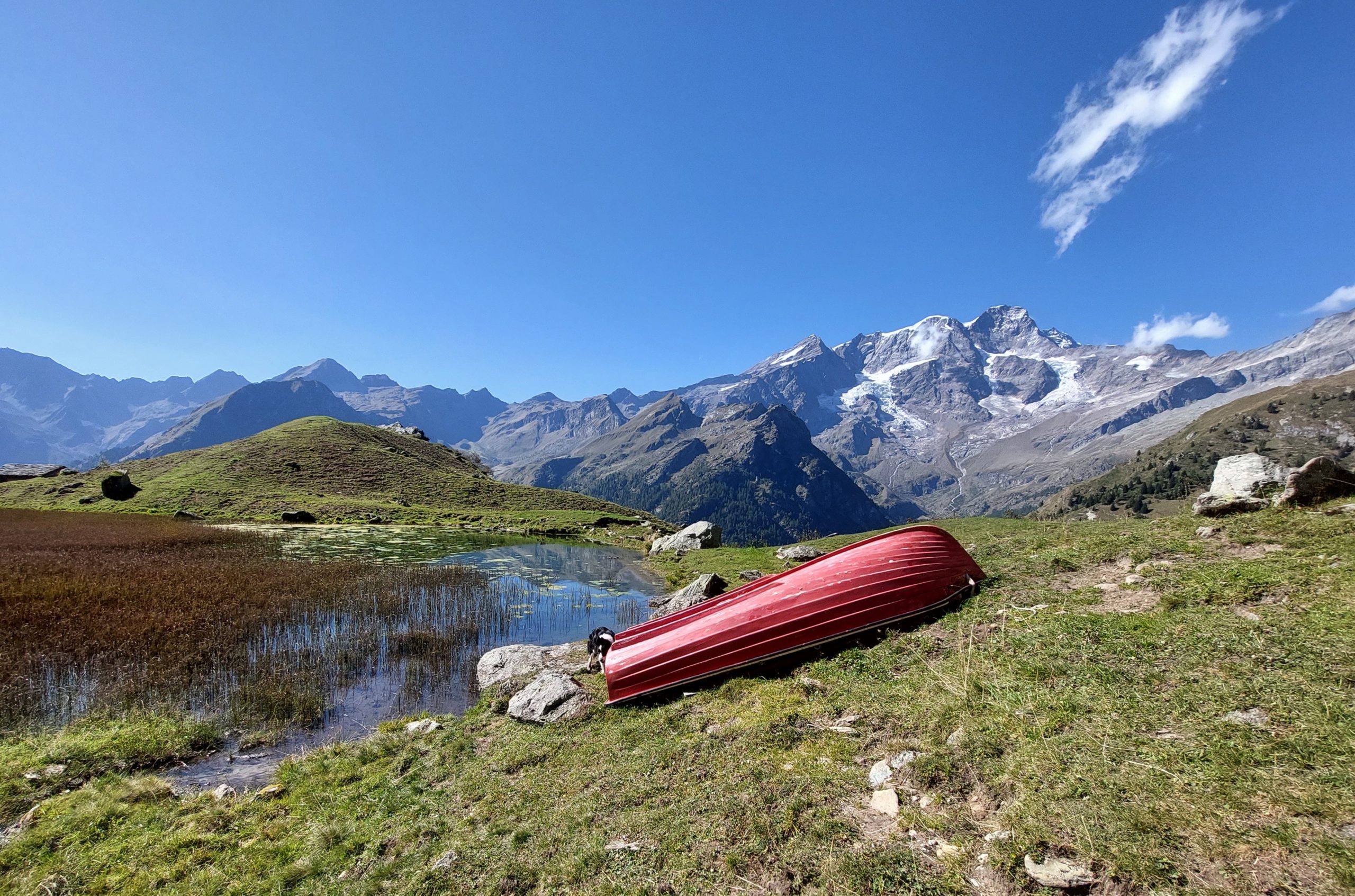
If, on the other hand, you continue from the stream on the left, you take the path that leads to Alpe Campo inferiore (Undre Kamp), 1846m. A few steps further on you will reach the Upper Campo Alp (Oubre Kamp), 1923m (1.30 – 2h). This alpine pasture is situated in the basin dominated on the left by Mount Tagliaferro and on the right by Cima Carnera. The view of Monte Rosa is breathtaking as it is reflected in the waters of the small Piono Wasser lake.
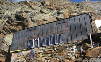
One of the cottages in this ancient alpine pasture houses the social hut of the Alagna CAI Subsection.
Beyond the stream is a small chapel dedicated to St. Hubert, whose door is the original one of the first Margherita Hut built in 1893 on Punta Gnifetti.
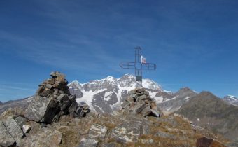
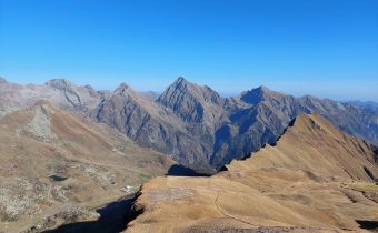
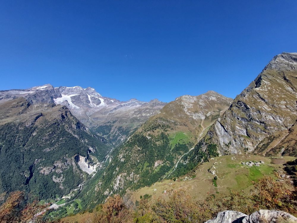
For those wishing to reach the Bocchetta della Moanda, the itinerary continues by crossing the plateau in the direction of the slope of the southwest ridge of Tagliaferro, passing on the right bank of the small lake and passing some rivulets. The trail thus resumes climbing in a steep zig-zag pattern. Bending to the right and walking the last sections among steep grassy pastures, you reach the Bocchetta della Moanda, 2422m (total 3h30).
On the opposite slope you can descend to Rima S. Giuseppe with itinerary 320. If you choose to ascend on the left and head north on trails partly equipped with ropes, you can climb Monte Tagliaferro, 2964m.

Other routes
recommended
Valsesia has a lot to offer to hiking enthusiasts
Suggestive trails surrounded by nature that offer breathtaking views: be surprised by the beautiful mountains of Valsesia!