Between the Rice Fields and the Baraggia Savannah
Route / Bike
MTB
Buronzo-Buronzina-Rovasenda-Roggia Marchionale-sottocanale Fasoli-San Giacomo Vercellese-buronzo
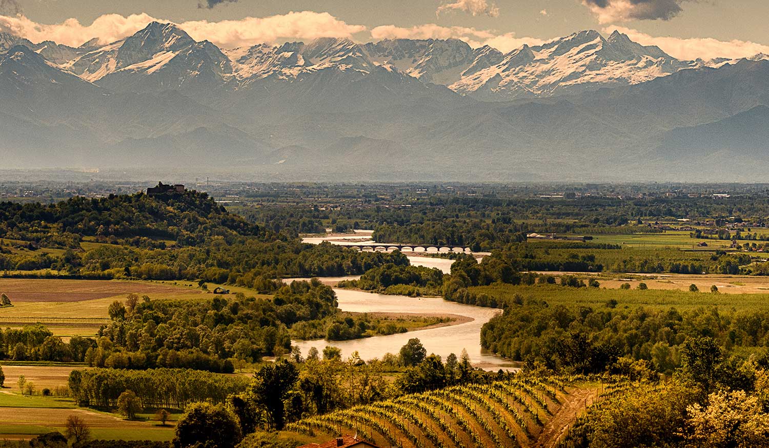
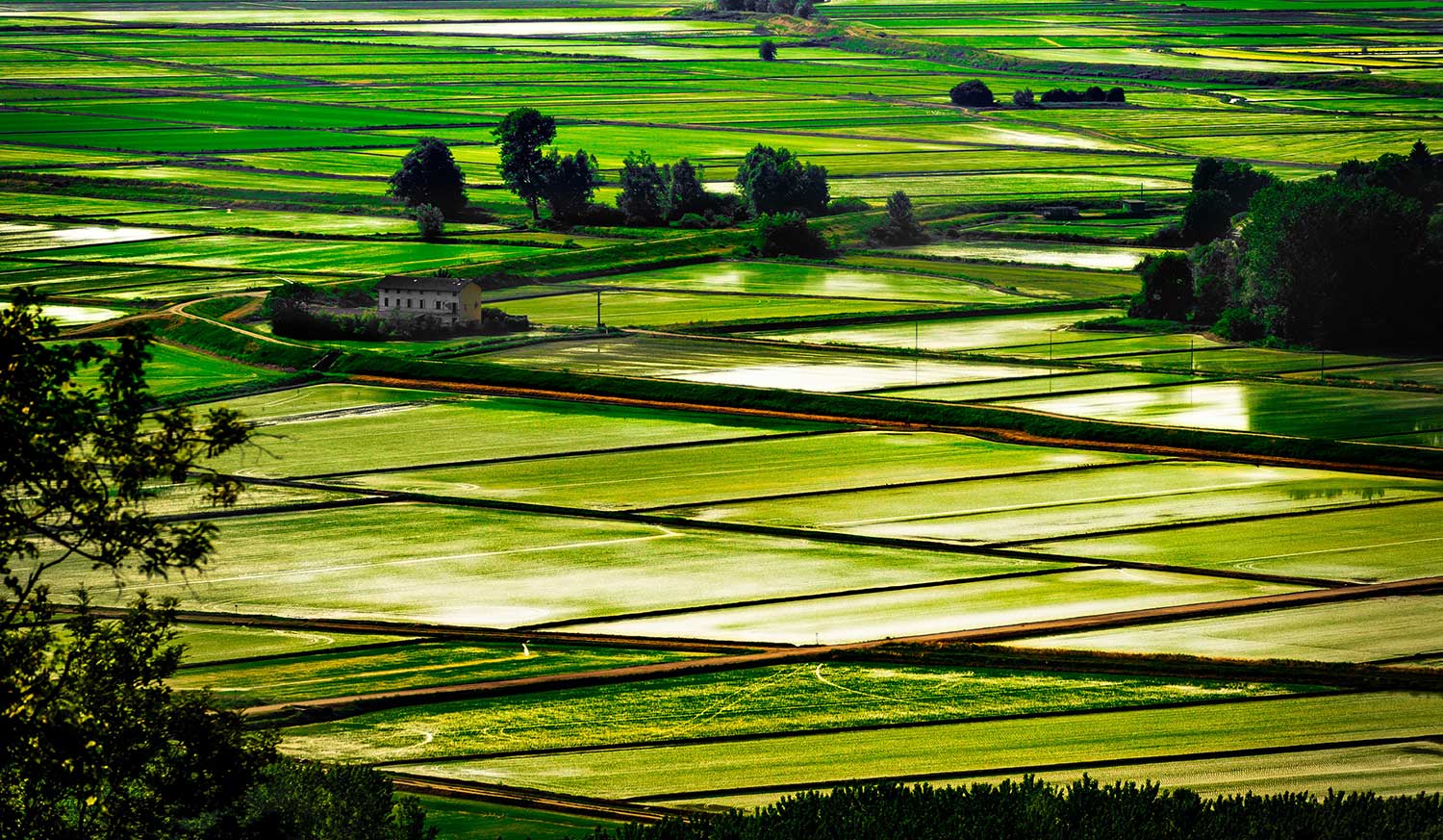
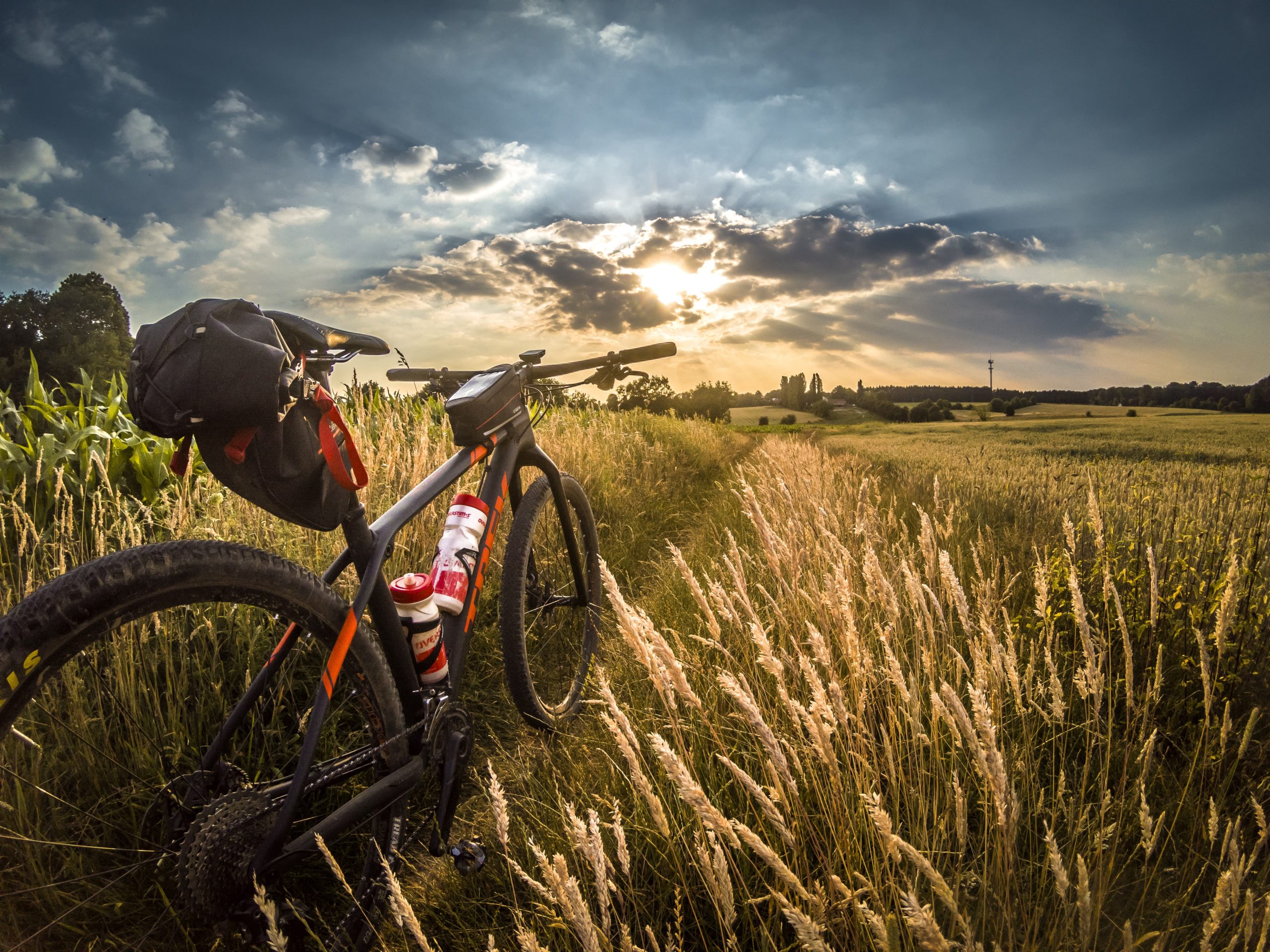
A circular route set amidst the agricultural landscape of the Baraggia area in the province of Vercelli, taking in rice paddies, canals and ingenious hydraulic structures. The route starts at the Armonie farmhouse in Corte di Buronzo and follows the Buronzina stream, skirting canals and irrigation ditches as far as the Mapetta weir.
After crossing wetlands teeming with wildlife and the Biella-Novara railway line, the route continues towards Rovasenda, through rice fields cultivated with fair-trade organic rice. Passing through a picturesque poplar grove, you can take a detour leading to the “trovone”, a fascinating canal bridge where the Roggia Marchionale crosses the Rovasenda stream and flows into the Fasoli sub-canal.
The return journey takes you through poplar groves, small canals and countryside, passing through San Giacomo Vercellese, until you reach Buronzo again.
Difficulty: easy
Distance: 16.1 km
average duration: 1 hour AND 10 MINUTES
departure altitude: 188 mt
arrival altitude: 223 mt
altitude difference: 35 mt
Route Description
This route is easy and suitable for everyone, winding its way along very gentle slopes through rice paddies and heathland. It offers a wonderful opportunity to immerse yourself in the unspoilt beauty of the open countryside, providing the utmost in charm and comfort during the mild days of spring or the golden hues of autumn. To enjoy every kilometre in total relaxation, we recommend bringing a good supply of water and some snacks, so you can enjoy a day of pure cycling in complete independence and safety, amidst the tranquillity of nature and the charm of small historic towns.
The route mainly follows quiet back roads and farm tracks that wind through the rice fields of the Vercelli area and the moors of Baraggia. The route alternates between tarmac sections and stretches of hard-packed earth and embankments, making it ideal for exploring the reclaimed land and the region’s sole PDO rice-growing area.
Bike type: a gravel bike or a touring bike. A semi-knobby tyre.
Terrain type: tarmac, compacted dirt tracks and embankments
Other routes
recommended
The Vercelli area by bicycle has so much to offer!
Explore all the pleasant loop routes and set out to discover the Vercelli rice lands on two wheels.
baraggia, rice fields and canale cavour
Route / Bike
MTB
Buronzo – Balocco – Villarboit – Baraggia – Canale Cavour – Albano Vercellese – Parco delle Lame del Sesia – Arborio – San Giacomo Vercellese – Buronzo
A circular route starting from Armonie in Corte, in Buronzo, runs alongside the Balocco circuit and reaches Villarboit, crossing the Baraggia PDO rice fields to the majestic Cavour Canal, a historic hydraulic structure serving the agricultural sector. A detour leads to Albano Vercellese and the Parco delle Lame del Sesia, then on to Arborio, where the Zanazzo Farm welcomes visitors to the heart of Vercelli’s rice-growing region. The route continues past the Sanctuary of the “Madonna del Bosco” and through San Giacomo Vercellese, before returning to Buronzo.
A journey through nature, agricultural culture and water-filled landscapes.
A circular cycle route, known as “Baraggia, Rice Fields and the Cavour Canal”, winds its way through the heart of the Vercelli area, between Buronzo, Albano Vercellese and Arborio.
Difficulty: easy
Distance: 36 km
average duration: 2 hours
departure altitude: 152 mt
arrival altitude: 198 mt
altitude difference: 56 mt
Route Description
The route is flat and presents no technical difficulties, making it ideal for all cycle tourists. Enjoy the beauty of this flat route through rice paddies and canals – a route that is at its best on spring and autumn days or during the cool hours of dawn, when the light transforms the landscape into a painting. As this route takes you through open, unspoilt countryside amongst farms, we recommend bringing everything you need to stay hydrated and some energy snacks: this will give you the freedom to enjoy a completely independent and relaxing experience, savouring the tranquillity of this unique rural setting. Take care at road junctions near the villages of Buronzo, Arborio and Albano Vercellese.
The route follows quiet back roads and farm tracks.
The recommended starting point is Buronzo (Via Borri), where the official route map marks the start and end of the route. The location is ideal due to the availability of amenities and e-bike hire points. Alternatively, you can start the loop from Casanova Elvo (Cascina Drusiana), a key point of reference for the BikeSquare routes in the area.
Bike type: A gravel bike, a touring bike or MTB. Semi-knobby tyres are recommended.
Terrain type: Asphalt and sections of compacted earth or gravel along the banks of the canals.
Other routes
recommended
The Vercelli area by bicycle has so much to offer!
Explore all the pleasant loop routes and set out to discover the Vercelli rice lands on two wheels.
ride through farmhouses
Route / Bike
MTB
From Cascina Drusiana to Cascina Gaietta, all the way to the Cavour Canal, amongst the rice fields of the only PDO rice region: the Carnaroli rice fields of the Baraggia Vercellese and Biellese PDO.
A circular route through the Baraggia Vercellese, taking in PDO rice fields, natural scenery and major hydraulic engineering works.
Difficulty: easy
Distance: 33.4 km
average duration: 2 hours
departure altitude: 142 mt
arrival altitude: 170 mt
altitude difference: 28 mt
Route Description
After a breakfast of local produce, we cycle through fields of Carnaroli rice, along canals and springs, towards Cascina Gaietta, a natural oasis where you can spot herons, ibises, night herons and the rare Lycaena dispar butterfly. The farmstead, with its enclosed courtyard, is a fine example of Piedmontese rural architecture, featuring a votive gateway and evidence of early hygiene standards. The route then continues towards the Cavour Canal, passing the Casanova Elvo siphon and the canal’s siphon tombs, extraordinary engineering feats from the 19th century. Finally, you return through rice paddies and agricultural landscapes dominated by water and history.
You can set off from Vercelli station, from where you can reach the Baraggia area via cycle paths leading out of the city.
The route is easy and suitable for everyone, including less experienced cyclists. It winds through the rice fields of Baraggia along roads with very little traffic and along the riverbanks. As it is an open, flat route, bathed in sunshine throughout, it is at its best on cool spring days or amidst the colours of autumn. In summer, we recommend setting off at dawn to enjoy the morning peace and the softest light. The beauty of this route lies in its seclusion and unspoilt nature. Remember to bring a good supply of water and some energy snacks. Take care at junctions with main roads, where there may be fast-moving traffic.
Bike type: A gravel bike, a touring bike or a mountain bike
Terrain type: compacted earth and tarmac
Other routes
recommended
The Vercelli area by bicycle has so much to offer!
Explore all the pleasant loop routes and set out to discover the Vercelli rice lands on two wheels.
In Rovasenda, amidst rice fields, storks and waterways
Route / Bike
MTB
Rovasenda – Molinia Farm – Ravasanella Dam Canal – Woodland – Baraggia Nature Reserve – Cascina Nuova and Teglio – Rovasenda
A bike ride past the stork nesting platforms, through rice fields, the Baraggia Nature Reserve and the Rovasenda Estate.
Difficulty: easy
Distance: 19.4 km
average duration: 2 hours
departure altitude: 222 mt
arrival altitude: 259 mt
altitude difference: 43 mt
Route Description
A circular route in the Baraggia area of Vercelli, starting from Rovasenda, taking in stork nests, organic rice fields and historic hydraulic structures. You’ll cycle through environmentally friendly farmland to the Molinia Farm, a pioneer of the ‘Riso Secondo Natura’ (Rice According to Nature) method. You’ll then follow the Ravasanella dam canal and enter the woods, where you can see an operational hydroelectric power station run by the Land Reclamation Consortium. You cycle between the Baraggia Nature Reserve and a military zone, returning to Rovasenda via Cascina Nuova and Teglio. There is the option of a final visit to the medieval manor or a detour along the Fasoli Canal to see the seasonal waterfall of the Cavo Piantalino.
A route combining sustainable agriculture, nature and hydraulic engineering.
This route is easy and suitable for everyone, making it perfect for families thanks to the prevalence of quiet roads and paths surrounded by nature. This flat route is at its best during the milder seasons or in the cool morning hours, when you can fully enjoy the splendid view of the rice paddies while sheltered from the sun. To make the most of this immersion in the wild nature of the Baraggia, we recommend bringing a good supply of water and your favourite snacks: it will be the perfect opportunity for a refreshing break in complete independence, whilst relying on the facilities and hospitality you’ll find in the villages of Rovasenda and Brusnengo.
Bike type: gravel
Terrain type: a mix of tarmac and dirt tracks in the Baraggia
Other routes
recommended
The Vercelli area by bicycle has so much to offer!
Explore all the pleasant loop routes and set out to discover the Vercelli rice lands on two wheels.
via francigena
Route / Trekking
via francigena
Route description
DEVOTIONAL ROUTE
THE VIA FRANCIGENA – SIGERIAN ROUTE
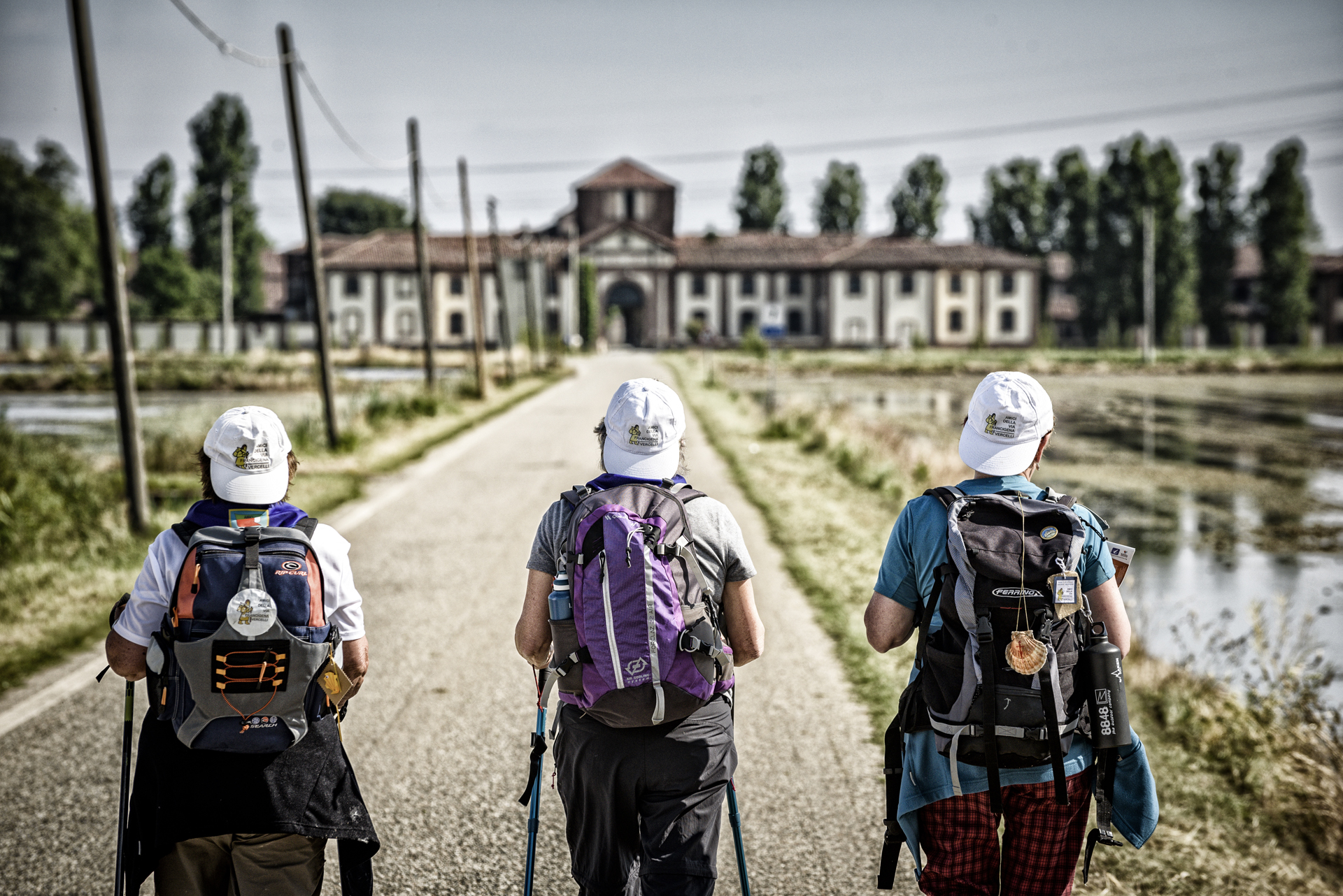
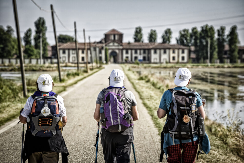
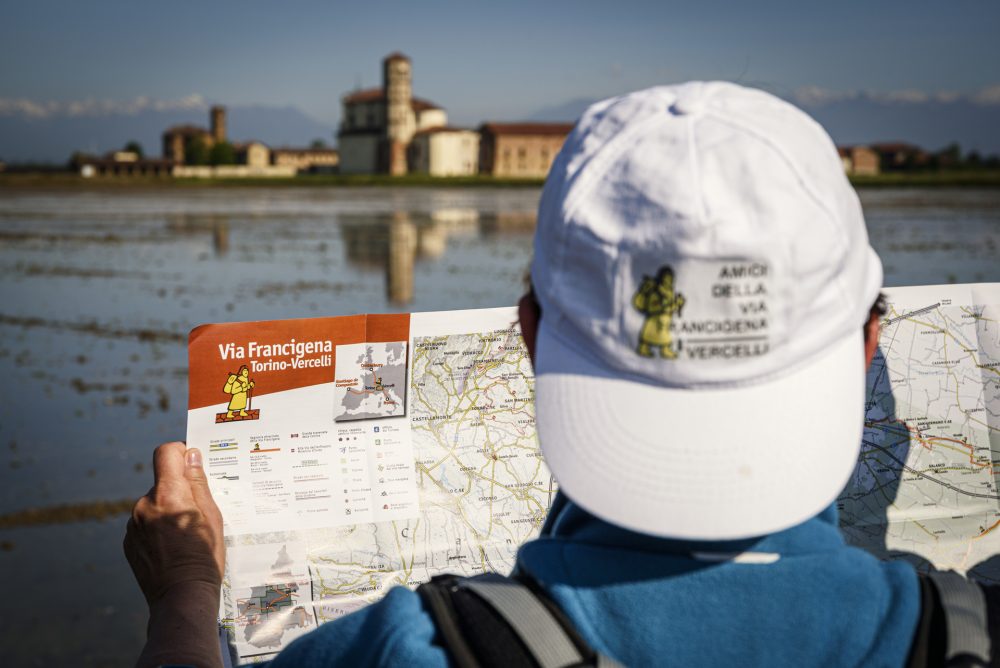
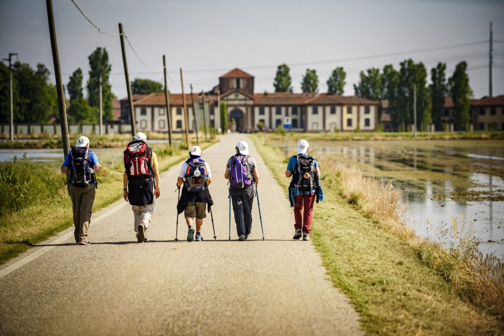
The Via Francigena is a system of branched routes that unites the peoples and cultures of Europe, touching five states, 16 regions, and more than 600 municipalities.
The Sigeric Itinerary refers to the route described by the Archbishop of Canterbury, who traveled to Rome in 990 to receive the pallium, symbol of archiepiscopal dignity, from Pope John XV.
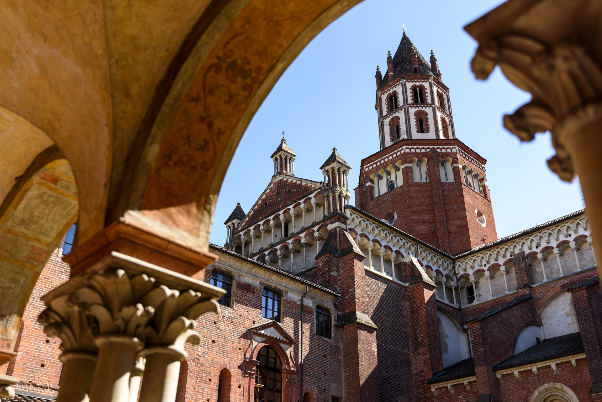
Vercelli, in the list of 80 stops cited by the archbishop, appears as the 43rd point, a sort of “halfway point” of the devotional journey. To welcome pilgrims on their journey and provide them with refreshments, Cardinal Guala Bicheri commissioned the city’s first hospital, built directly across from the Basilica of Sant’Andrea, which he himself had commissioned in 1219.
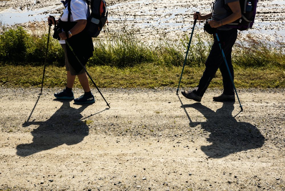
Every year, Vercelli welcomes countless pilgrims from around the world to travel the historic Via Francigena, receive the city stamp for their passports, and rest at the Hospitale Sancti Eusebi before continuing their journey!
ITINERARY IN THE PROVINCE OF VERCELLI
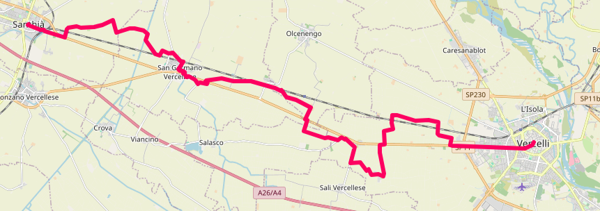
Coming from the Province of Biella (Viverone/Cavaglià), you enter the Vercelli region, with Santhià as the first stop in the province.
Santhià – San Germano – via Olgenengo – Cascine Strà – Montonero – Vercelli. Total route length: 29 km.
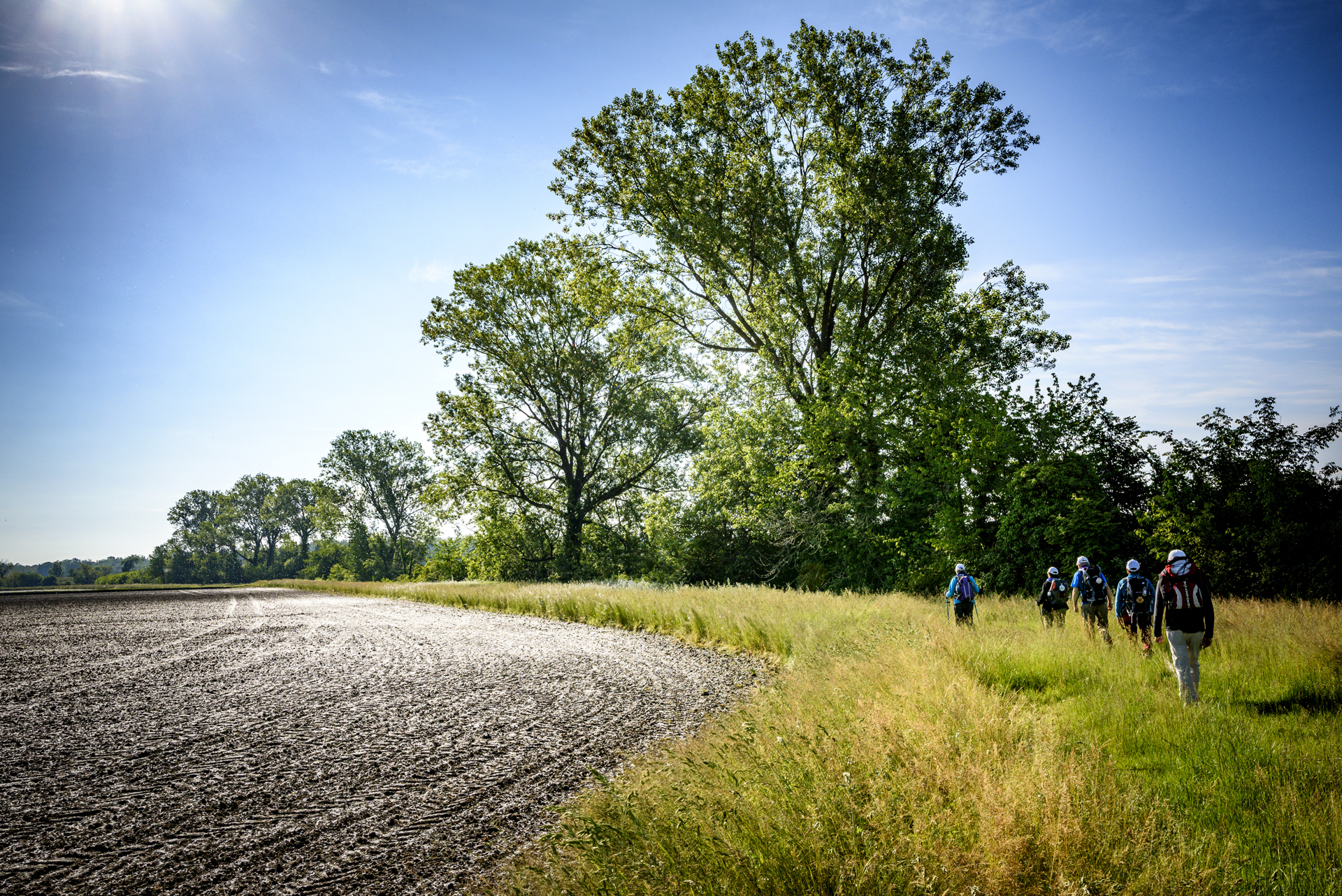
Leaving Vercelli, following the banks of the Sesia River, through poplar groves and rice paddies, you enter Lombardy, in the province of Pavia.
Other routes
recommended
Valsesia has a lot to offer to hiking enthusiasts
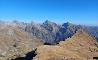
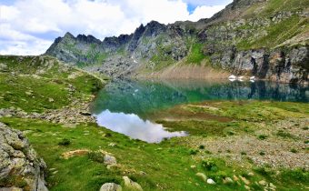
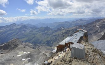
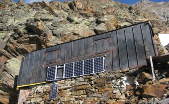
Suggestive trails surrounded by nature that offer breathtaking views: be surprised by the beautiful mountains of Valsesia!
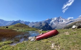
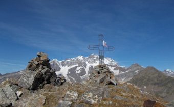
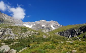
how to get there
info and contacts
Associazione AMICI DELLA VIA FRANCIGENA
Cyclable rice paddies n.1 – vercelli and surroundings
Route / Bike
MTB
Vercelli – Montonero – sali v.se – Casalrosso – larizzate – Vercelli
An ideal route to discover an area of authentic beauty surrounding the city of Vercelli: the Squared Sea, a pleasant 27-km loop route that thoroughly explores the Vercelli Rice Fields area.
Difficulty: easy
Distance: 26 km
average duration: 2 hours
departure altitude: 58 mt
arrival altitude: 58 mt
altitude difference: 30 mt
Route Description
Departing from the Vercelli train station, follow the bike paths of Corso Italia, Corso Palestro and Viale Rimembranza until you leave the city, heading towards Cascina Vecchia, leaving the asphalt and skirting the airport runways. After reaching Cascina Torrione, leaving the dirt road, you reach Cascina Boschine, currently used in part by students of the Ferraris Agricultural Institute of Vercelli for educational and field research activities. You then cross the small hamlet of Carengo, passing Cascina Aramino and then Cascina Castellazzo and Cascina Ferla. Skirting the “roggia del molino,” we reach the vicinity of Larizzate where, taking Via Nino Bixio, we can observe the church of Maria SS. Assunta. From here comes a document, dated August 27, 1493, which, for the first time, reports the cultivation of rice in the Vercelli area. In the surroundings of the
town is a 12th-century castle of which, to this day, a portion of the wall and 2 towers remain. After passing Cascina Varola, through a grassy road that becomes a path, you first pass Cascina Angossa, then Cascina Angossetta. A short distance away is Cascina Boraso, an important example of a 19th-century farmstead that in 1932 became the primary headquarters of the Experimental Station for Rice Growing and Irrigated Cultivation. Return to town via Strada Olcenengo, then follow Via Gran Paradiso, Via Monviso until it crosses C.so Giovanni Gastaldi and returns to the starting point, in Piazza Roma, railway station area.
Recommended period: spring and autumn
Terrain type: dirt and asphalt
Other routes
recommended
The Vercelli area by bicycle has so much to offer!
Explore all the pleasant loop routes and set out to discover the Vercelli rice lands on two wheels.
Cyclable rice paddies n.2 – vercelli and surroundings
Route / Bike
MTB
Vercelli – sali v.se – Casalrosso – ASIGLIANO V.SE – PRAROLO – Vercelli
An ideal route to discover an area of authentic beauty surrounding the city of Vercelli: the Squared Sea, a pleasant 47-km loop route that thoroughly explores the Vercelli Rice Fields area.
Difficulty: easy
Distance: 47 km
average duration: 3 hours
departure altitude: 99 mt
arrival altitude: 99 mt
altitude difference: 30 mt
Route Description
Departing from the Vercelli train station, turn onto Corso Gastaldi and take the overpass towards Biella. At the roundabout, turn left and exit the city towards Olcenengo. After reaching Cascine Strà, continue towards the farming village of Sali Vercellese, which boasts an ancient castle renovated in the 1900s. The route then passes through the small hamlet of Casalrosso, before continuing towards the ancient village of Larizzate. Continuing towards Asigliano Vercellese, famous for the centuries-old tradition of the “Ox Race,” the route passes through the Vercelli countryside dotted with fields and old farmhouses.
Rejoining the main road towards Prarolo, the route continues towards Pizzarrosto for a few kilometers before turning along the Sesia River. The last stretch of the route, before returning to the city, runs alongside the river that flows past the provincial capital, offering breathtaking views.
Recommended period: spring and autumn
Terrain type: dirt and asphalt
Other routes
recommended
The Vercelli area by bicycle has so much to offer!
Explore all the pleasant loop routes and set out to discover the Vercelli rice lands on two wheels.
cyclable Rice paddies n.4 – on the rice roads
Route / Bike
MTB
Vercelli – Pizzarrosto – Pezzana – Caresana – Pezzana – Prarolo – Vercelli
An ideal route to discover an area of authentic beauty surrounding the city of Vercelli: the Squared Sea, a pleasant loop itinerary dicirca 40 km that thoroughly explores the Vercelli Rice Fields area.
Difficulty: EASY
Distance: 44 km
average duration: 3 hours
departure altitude: 92 mt
arrival altitude: 94 mt
altitude difference: 2 mt
Route description
From Vercelli station, follow the bike lanes toward Corso Italia to Rione Cappuccini, then continue in the direction of Prarolo, skirting the bank of the Sesia River among poplar groves and rice paddies. At the fork, head toward Palestro to reach the famous “locks,” a series of jumps with which the Sesia River overcomes a drop of about 10 meters. After passing the hamlet of Pizzarrosto, continue to the village of Pezzana. Passing first Tenuta Valgioja and then Cascina Bellincontro, you reach Caresana, famous for the centuries-old tradition of the “Running of the Oxen,” shared with the neighboring municipality of Asigliano, which finds its origins in 1236 and whose origin is now attributed to the stage of return to the village that followed the procession in honor of St. George. Also noteworthy are the majestic parish church of San Matteo and the Church of San Giorgio with the chapel of the SS. Annunziata. Returning toward Pezzana, we
continue on to Prarolo, home to one of the best-preserved castles in the Vercelli area dating back to the end of the 14th century. Built by the Benedictines of the Abbey of Santo Stefano di Vercelli, it is characterized by a cylindrical tower and a quadrangular one with conspicuous machicolations. Also worth mentioning is the Parish Church of Our Lady of the Assumption, rebuilt in 1628 and enlarged in the early 20th century, which contains an 18th-century canvas originally painted by Beaumont. Particular then is the public fountain with its incessant jet, also known as the “chita mai.” To return to Vercelli, retrace the bike paths back to the starting point.
Recommended period: spring and autumn
Type of terrain: dirt and asphalt
Other paths
recommended
The Vercelli area by bicycle has so much to offer!
Explore all the pleasant loop routes and set out to discover the Vercelli rice lands on two wheels.
cyclable rice paddies n. 5 – the grange itinerary
Route / Bike
MTB
Vercelli – Casalrosso – Lucedio – Montarolo – Fontanetto Po – Palazzolo V.se – Trino – Saletta – Asigliano – Vercelli
An ideal route to discover an area of authentic beauty surrounding the city of Vercelli: a loop itinerary of about 50 km that leads to the heart of the Grange Vercellesi area, which, thanks to the work of Cistercian monks, saw the first rice cultivation in Italy in the 15th century.
Difficulty: medium
Distance: 52 km
Average duration: 5-6 hours
D- : 135 mt
D+ : 135 mt
altitude difference: 0 mt
Route Description
From the Vercelli station, follow the Viale Garibaldi bike path, Via Paggi and Via Trino to leave the city in the direction of Crescentino, passing through the village of Casalrosso. Then continue on the Strada delle Grange (lit. Granaries), which takes its name from the ancient housing units that arose on uncultivated and forest-covered land on which the Cistercian monks carried out reclamation works to turn them into productive areas. The Grange rise out of the water like small islands, and it is to one of the most fascinating Grange that one arrives just past the crossroads to Darola: the Principality of Lucedio and the Abbey of Santa Maria built in 1123. Honorable mention deserves the Principality, since in the first half of the 15th century it was the Cistercians of Lucedio who first introduced rice cultivation to Italy. Having passed the sanctuary of Madonna delle Vigne and its sinister atmosphere, we continue to the village of Montarolo, skirting the Bosco delle Sorti forest of the Partecipanza di Trino,
a rare example of a lowland forest, which gives us a previously unseen image of the Po Valley in days gone by. When you then reach Montarolo, you can shorten the route by 25 km by continuing in the direction of Trino, or continue to Crescentino by rejoining the Strada delle Grange and You deviate by following the signs for San Genuario and the Nature Reserve of the marsh of the same name. Once through the village, you reach the hamlet of Monticelli, where you follow in the direction of Trino, and then continue following the signs for Asigliano V.se. After crossing the town of Asigliano, continue in the direction of Vercelli to return to the starting point.
Recommended period: spring and autumn
Type of terrain: dirt and asphalt
Other paths
recommended
The Vercelli area by bicycle has so much to offer!
Explore all the pleasant loop routes and set out to discover the Vercelli rice lands on two wheels.
cyclable rice paddies n. 6 – castles, rice fields and lakes
Route / Bike
MTB
Vercelli – Olcenengo – Vettignè – Santhià – Cavaglià – Lago di Viverone – Tronzano – Crova – Vercelli
An ideal route to discover an area of authentic beauty around Vercelli: a ring route of about 80 km that explores through the Vercelli rice fields, approaches the Via Francigena that reaches Santhià and leads up to the waters of Lake Viverone.
Difficulty: medium
Distance: 77 km
Average duration: 6 hours
D+: 306 mt
D-: 306 mt
altitude difference: 0 mt
Route Description
From the Vercelli train station, take the Corso Gastaldi overpass, Via Donato, and follow for the small town of Olcenengo. After crossing the village, continue in the direction of Casanova Elvo, until you reach the hamlet of Vettignè, from which you can see the silhouette of the eponymous castle of medieval origin looming over the rice fields. The hamlet of Vettignè, built in the 15th century at the crossroads between the Via Svizzera and the Via Francigena, retains traces of that historical period in its name: in fact, the toponym of Vettignè derives from vectigal, that is, the duty required of wayfarers to obtain the right of passage. Resuming the road, we soon reach Santhià: the town is worth a stop if only to admire the Collegiate Church of Sant’Agata, inside which is preserved a well-known polyptych by Giovenone, with its 12th-century Roman bell tower. From the first spring sunshine to mild autumn days, it is then not uncommon to catch a glimpse of some pilgrims venturing along the Via Francigena that leads from Canterbury to Rome, a total of more than 3,000 km. On the Santhià bypass, follow the signs for
Biella to Cavaglià where you follow the direction to Viverone. From a distance you can make out Roppolo, which, with its castle and church, is also a key stop on the Via Francigena. The route then continues overlooking Lake Viverone, the third largest in Piedmont shared between the provinces of Turin, Biella and Vercelli, and skirting it for 5 km reaches Alice Castello, then continues in the direction of Tronzano V.se. In this stretch the Naviglio di Ivrea, Depretis Canal and Cavour Canal, essential sources for rice cultivation in the Vercelli area, intersect. From here, you pass through the villages of Crova and Salasco, with its lake a destination for fishing enthusiasts, and then rejoin the SP11 at Cascine Strà, from where you then follow the signs back to the starting point.
Recommended period: spring and autumn
Type of terrain: dirt and asphalt
Other paths
recommended
The Vercelli area by bicycle has so much to offer!
Explore all the pleasant loop routes and set out to discover the Vercelli rice lands on two wheels.
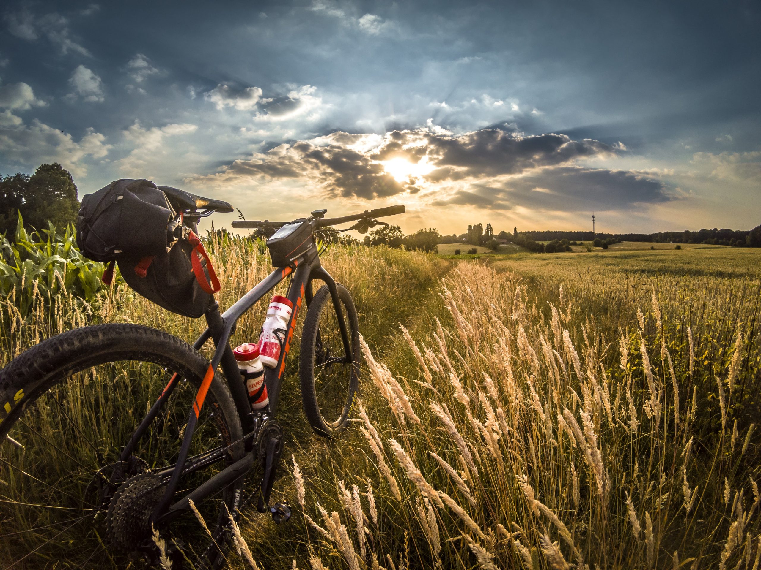
cyclable rice paddies N. 7 – from rice lands to wine lands
Route / Bike
MTB
VERCELLI- OLCENENGO-CASANOVA ELVO-BALOCCO ROVASENDA-GATTINARA-GHEMME-FARA NOVARESE-SIZZANO-SAN NAZZARO SESIA-VILLATA-VERCELLI
Difficulty: medium
Distance: 17 km
average duration: 2 hours
departure altitude: 1411 mt
arrival altitude: 1741 mt
altitude difference: 360 mt
Route Description
From the Vercelli train station, take the Corso Gastaldi overpass and follow to Olcenengo and Casanova Elvo, where you can admire the pre-12th-century castle and the majestic Church of S. Martino in the main square. Follow to Formigliana, taking some time to observe the Monte Rosa Massif that frames the ancient farmsteads along the way. Crossing the Cervo stream, you continue on to Balocco, where you can admire the 15th-century castle and the Church of San Michele, inside which a triptych by Giovenone is preserved; you then pass through the villages of San Giacomo Vercellese and Rovasenda, respectively, to continue on to Gattinara. A stop here is a must, to visit the town and its surroundings, on whose hills the DOCG wine of the same name is produced. The town center features important historic-artistic buildings, such as the Parish of St. Peter, dating from the early medieval period, and the Castelle Tower, which dominates the town from the surrounding hills.
We continue the route by crossing the Sesia River and reaching Romagnano Sesia, passing to the left orographic bank, entering the territory of the Novara hills. Here in succession we encounter Ghemme, Sizzano and Fara, a hilly region producing excellent DOC wines. Approaching the Sesia again, we pass Carpignano and Landiona, to arrive at the towns of Recetto and San Nazzaro Sesia, which present, respectively, the historic village with its ancient castle and 13th-century walls and the Abbey of SS. Nazario and Celso, an example of medieval fortified abbeys, dating back to the 11th century. From here it continues past the towns of Villata and Borgo Vercelli, returning to the city of Vercelli.
Recommended period: spring and autumn
Terrain type: asphalt
Other paths
recommended
The Vercelli area by bicycle has so much to offer!
Explore all the pleasant loop routes and set out to discover the Vercelli rice lands on two wheels.
LAME DEL SESIA NATURE PARK
Point of interest
Sites not to be missed
LAME DEL SESIA NATURE PARK
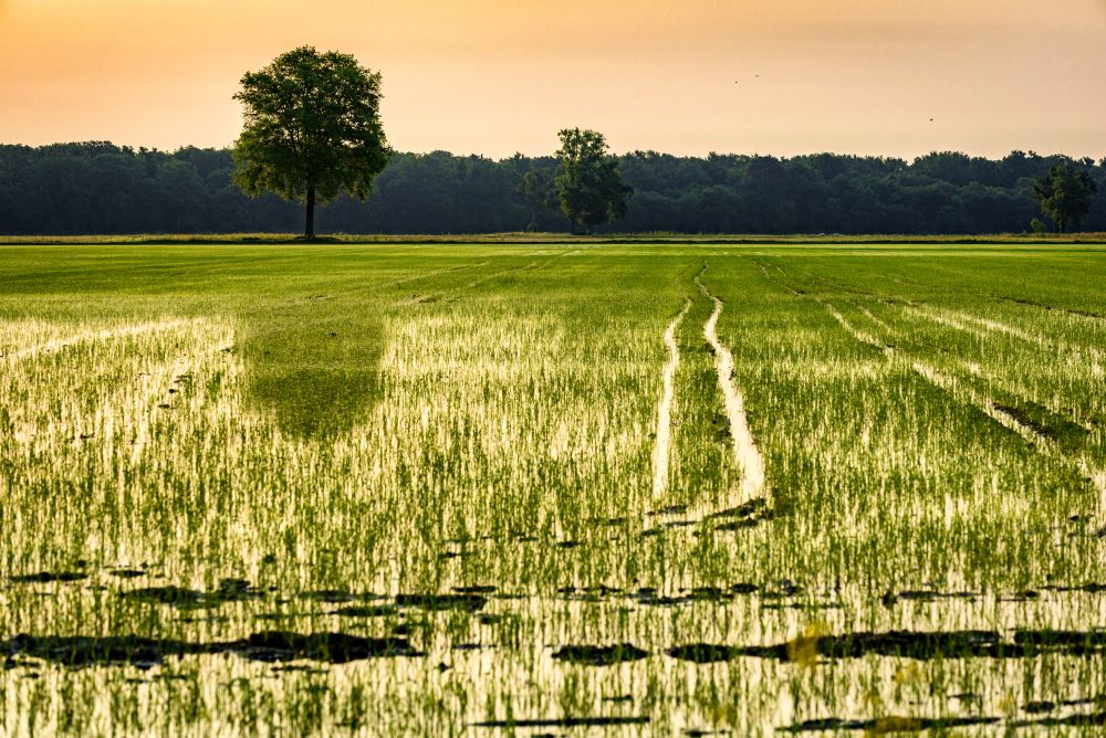
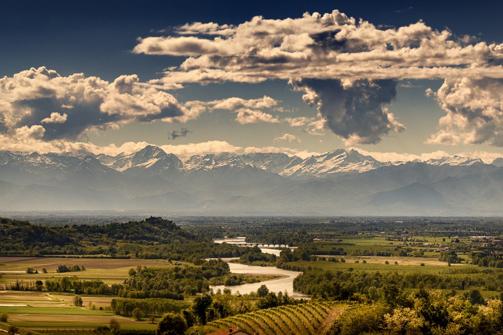
Established in 1978, the Park covers about 900 hectares, along an almost 8 km stretch of river on the border between the provinces of Vercelli and Novara. The territory is fluvial and is characterised by the “lame” (blades), stretches of water that have arisen from branches of the Sesia, and by gerbidi, clearings developed on gravel deposits. The terrain is continually shaped by the flooding of the Sesia river. Its banks are lined by woods, now the last remnants of the vanished lowland forests. This natural oasis stands in stark contrast to the surrounding landscape characterised by the predominance of monoculture rice production.
The park can be explored all year round on foot and by bicycle, either on self-guided equipped trails or with dedicated educational activities. The Ornithological Museum at the park headquarters in Albano Vercellese can also be visited on request.
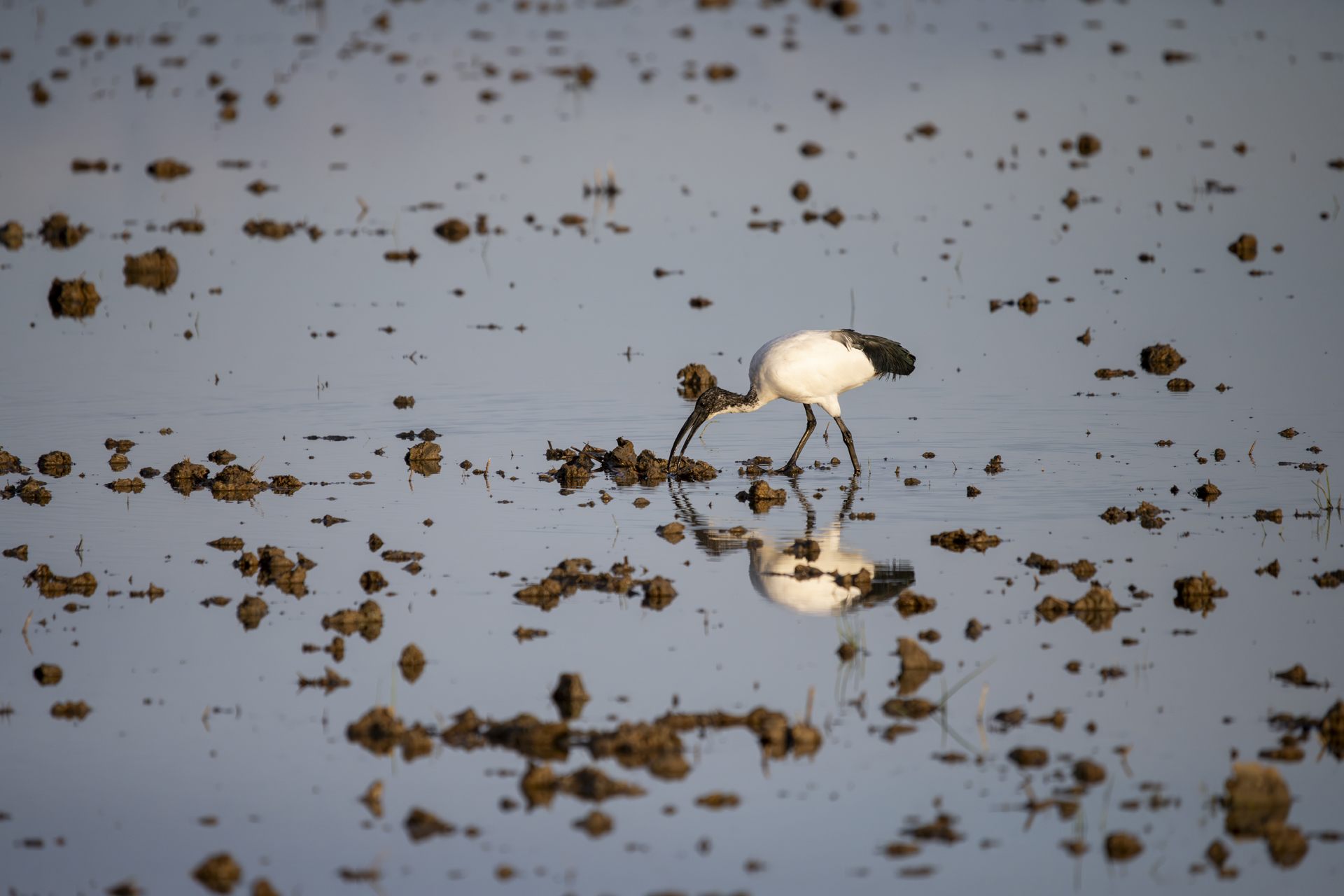
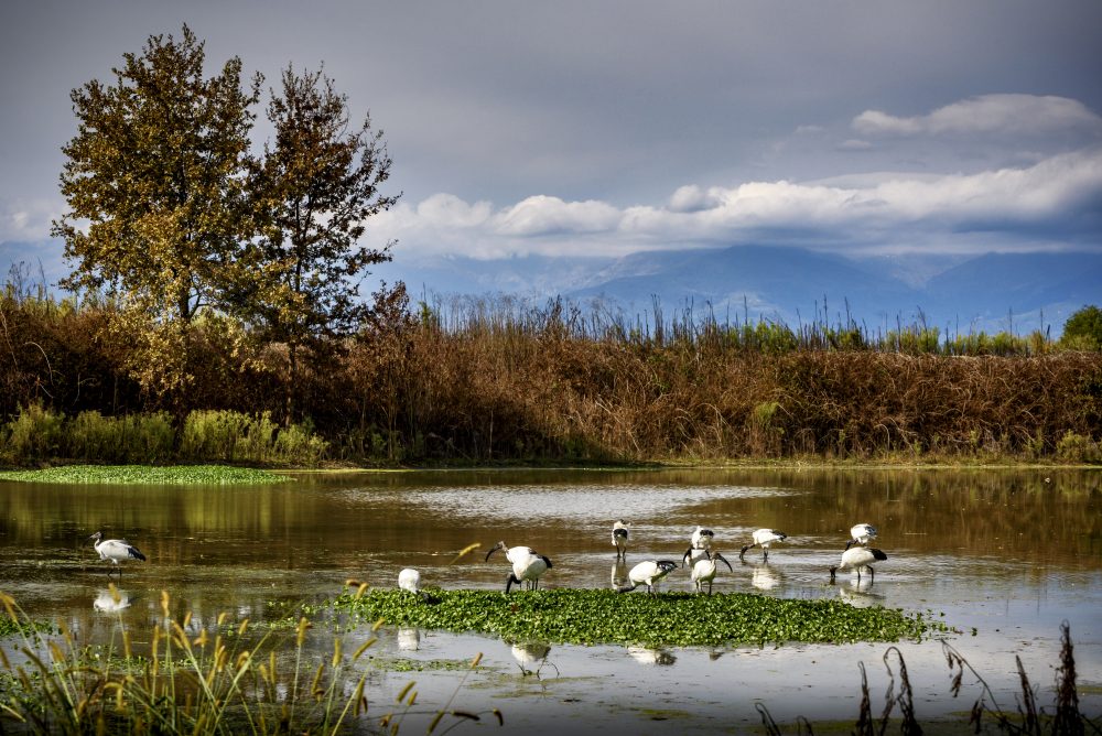
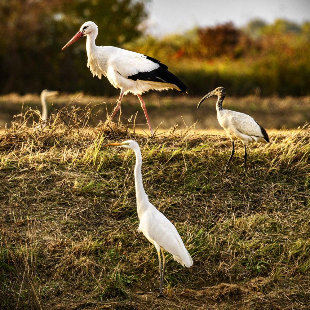
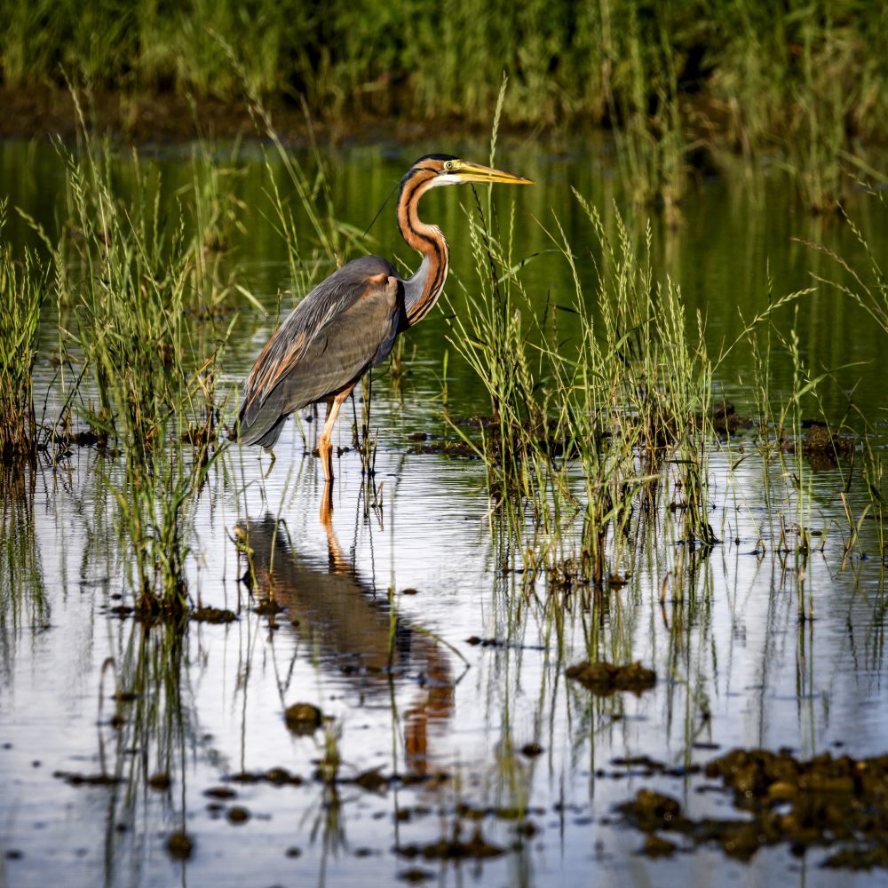
The park is home to one of the largest garzaie (heron nest areas) in Italy, located on the southern border of Parco delle Lame and surrounded by the river. It is the ideal place for birdwatchers who can use the sighting hut on the bank of the Sesia river to observe the life and habits of the birds that inhabit this area. Little egrets, grey herons, cormorants and cattle egrets nest in the Isolone di Oldenico Special Nature Reserve. At appropriate periods, birdwatching can be practised in the Park’s equipped observation huts.
However, this is not the only great “city of herons”. The Villarboit Garzaia has been a Special Nature Reserve of the Piedmont Region since 1990. The protected area consists of a poplar and rice paddy cultivation area, and of a coppice forest with locust trees, field elms and black alders. Another nesting place for ardeids is in Carisio, on the right bank of the Elvo stream, with the Special Nature Reserve of the Carisio Garzaia. Night herons, egrets and grey herons have “found a home” in a heavily anthropised lowland area. Public access is not permitted in these protected areas, except for study purposes. However, the bird species can be conveniently observed from the perimeter of the reserve.
HOW TO GET THERE
Info AND CONTACTS

HIGHLIGHTS AND MUST-SEE places
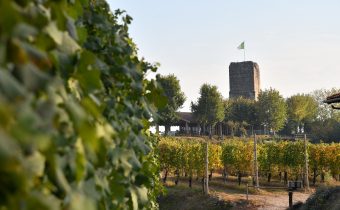
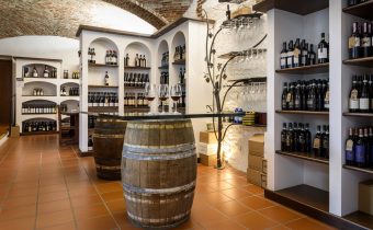
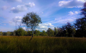
Art and culture, ancient traditions, excellent food and wine, and countless outdoor activities.
THE CAVOUR CANAL
Point of interest
Sites not to be missed
THE CAVOUR CANAL
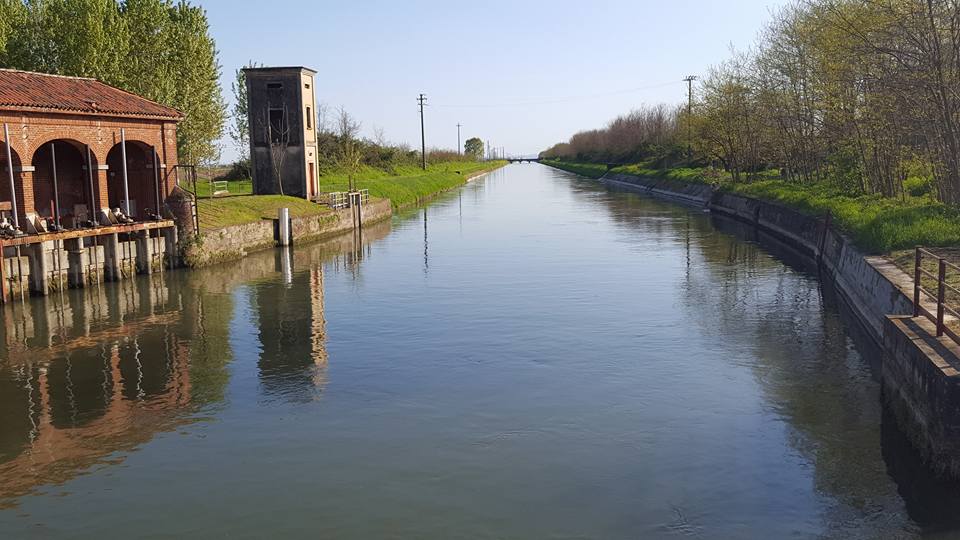
The most important engineering work in the Lower Vercelli area is the Cavour Canal, an artificial canal built to support agriculture and, particularly, rice cultivation. The Canal, strongly desired by the Piedmont statesman Camillo Benso Count of Cavour after whom it is named, is about 85 km long. It was made completely by hand by thousands of men in just three years and, crossing the entire Vercelli plain, it connects the Po river to the Ticino river.
The idea of drawing water from the Po river for the irrigation of the lower Novarese and Lomellina areas was insightfully conceived by Francesco Rossi, a farmer from Vercelli who also designed the first project for the canal in the mid-19th century.
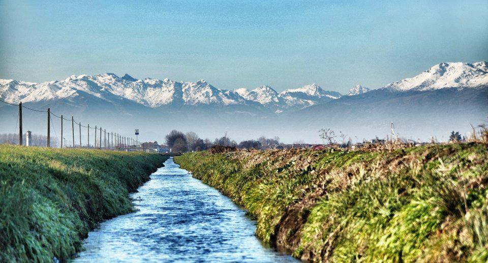
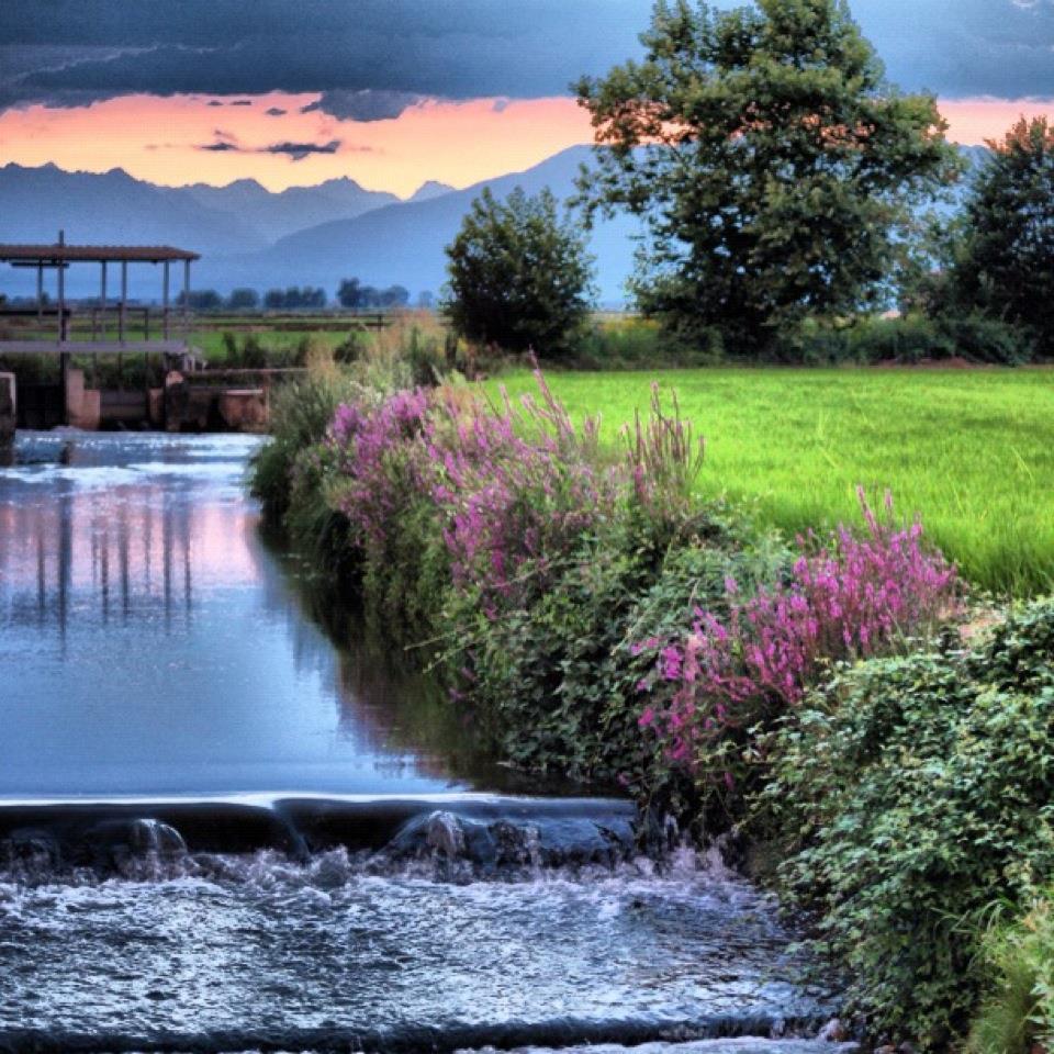
Vercelli’s irrigation network, one of the most efficient in Europe, is also made up of a dense maze of canals and waterways that move ancient mills and millstones, such as the ancient mill of St. John in Fontanetto Po, and whose banks conceal buildings of great importance, such as the Santhià hydrometric station.
The Cavour Canal is jointly managed by the West Sesia and East Sesia consortia, and is part of a complex irrigation network, whose proper operation they guarantee. The West Sesia Association, which covers the Vercelli area, was strongly desired by Count Camillo Cavour in the mid-19th century, and covers about 80,000 hectares, an area that can be identified with the territories of Biella, Vercelli and part of Casale. It is made up of farmers who have the task of independently administering water for agriculture, and who often meet for decision-making at the Small Parliament of West Sesia, the association’s headquarters located in the city of Vercelli.
In addition to its main function of providing an irrigation service for its 4,000 consortium member farms, West Sesia has developed its activities in areas such as water supply, utilisation, conservation, regulation and distribution, protection of the territory, environment and nature resources, soil protection and conservation, and collaboration to make the most of agricultural production.
HOW TO GET THERE
Info AND CONTACTS
West Sesia Association
HIGHLIGHTS AND MUST-SEE places
Art and culture, ancient traditions, excellent food and wine, and countless outdoor activities.
PIAZZA CAVOUR – vercelli
Point of interest
Sites not to be missed
PIAZZA CAVOUR AND THE CITY TOWERS
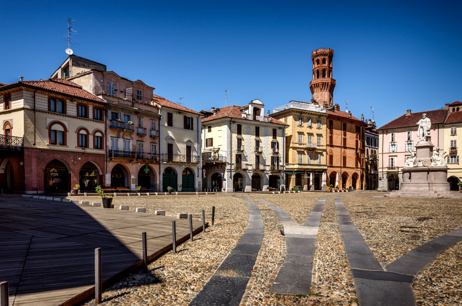
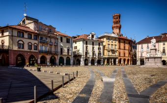
Probably built on the site of the ancient Roman forum and known as “Piazza Maggiore” until 1864, Piazza Cavour is the city’s living room and the heart of life in Vercelli. The Square is dominated by the monument to Count Camillo Cavour, and reminders of the medieval past can be noticed in the pointed arch porticoes and the mighty Angel Tower, probably the remains of a fortified house.
The Angel Tower, built before the 13th century, was part of a larger construction that dominated what is now Cavour Square. It has a square base on which a late Gothic octagonal upper half is grafted, ending in storm drains. The terminal area dates back to 1875, when the crenellations were added at the top. It owes its name to the legend surrounding it, according to which a desperate and penniless man decided to throw himself off the Tower to end his life. Realising his mistake too late, he prayed intensely and an angel intervened to save him.
A few steps away, overlooking Broletto Square, once the seat of the Town Hall and now known as Piazza dei Pesci (Fish Square), stands the Civic Tower, austere and simple in its square shape, probably from the 12th century when it is presumed to have been built. Its origins, however, may be even more ancient. In the 13th century it was acquired by the municipality, which is why it is also known as the Municipal Tower. In 1377, a clock was installed on it, a real novelty for the time, along with three bells whose task, in addition to striking the hours, was to warn citizens in case of danger or extraordinary assemblies. At 38 m, it is the tallest of the noble towers. However, in the past it was much higher than 40 m. Towering above the tower was a spire more than 20 m high, which was unfortunately destroyed by lightning in 1821 and never rebuilt.
The Tizzoni Tower is located a short distance from Cavour Square and is part of the palace of the Ghibelline Tizzoni family, which dates back to the mid-15th century. This family has very ancient origins. It is even estimated that a Tizzoni became mayor in Vercelli as early as the 12th century. The Tizzoni, also on the Ghibelline side, were bitter enemies of the Avogadro, on the Guelph side.
The Avogadro Tower (also known as St. Mark’s Tower) was erected by the Avogadro family during the 13th century probably for defensive purposes. In later times, the tower was incorporated into the group of the nearby Church of St Mark, serving as a bell tower. This brick tower stands on Via Verdi and features an octagonal floor plan.
HOW TO GET THERE
Info AND CONTACTS
HIGHLIGHTS AND MUST-SEE places
Art and culture, ancient traditions, excellent food and wine, and countless outdoor activities.
THE ABBEY OF ST. ANDREW – vercelli
Point of interest
Sites not to be missed
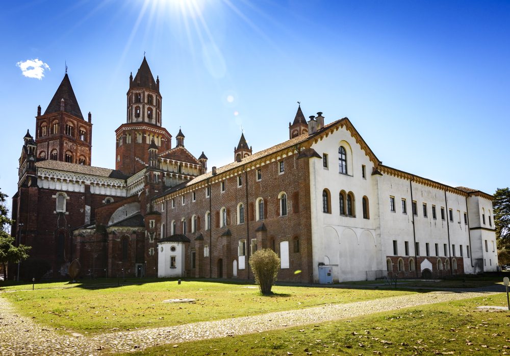
THE ABBEY OF ST. ANDREW
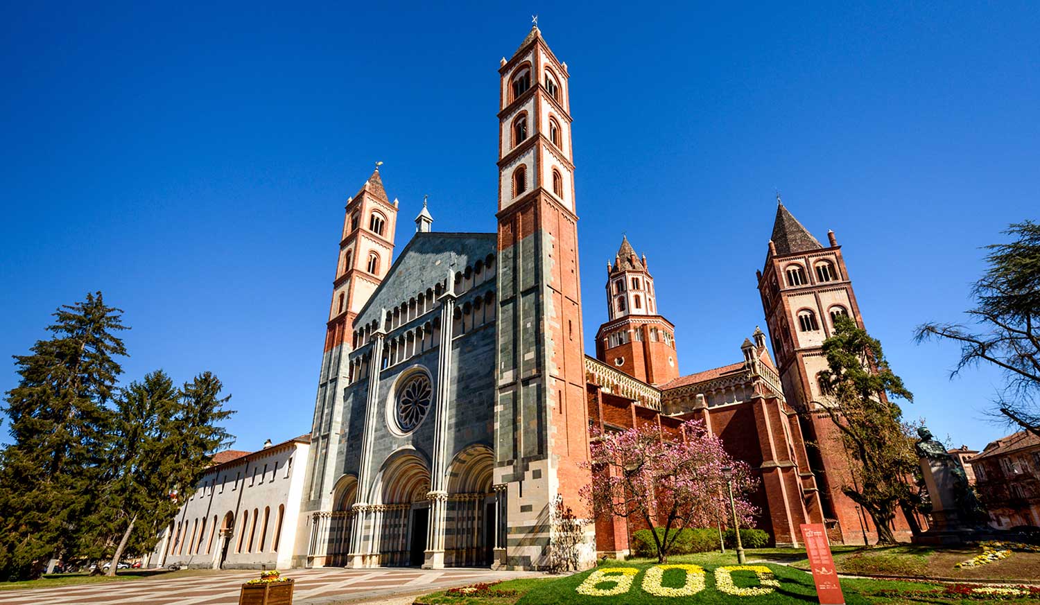
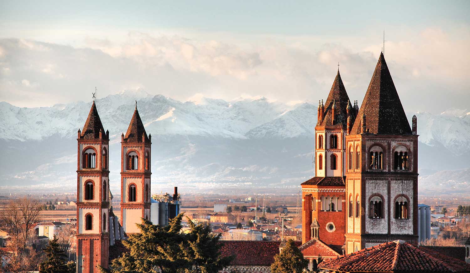
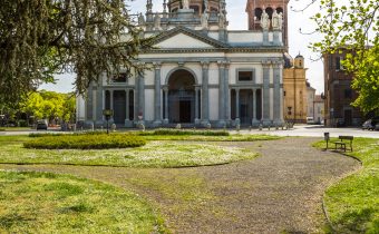
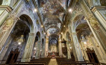
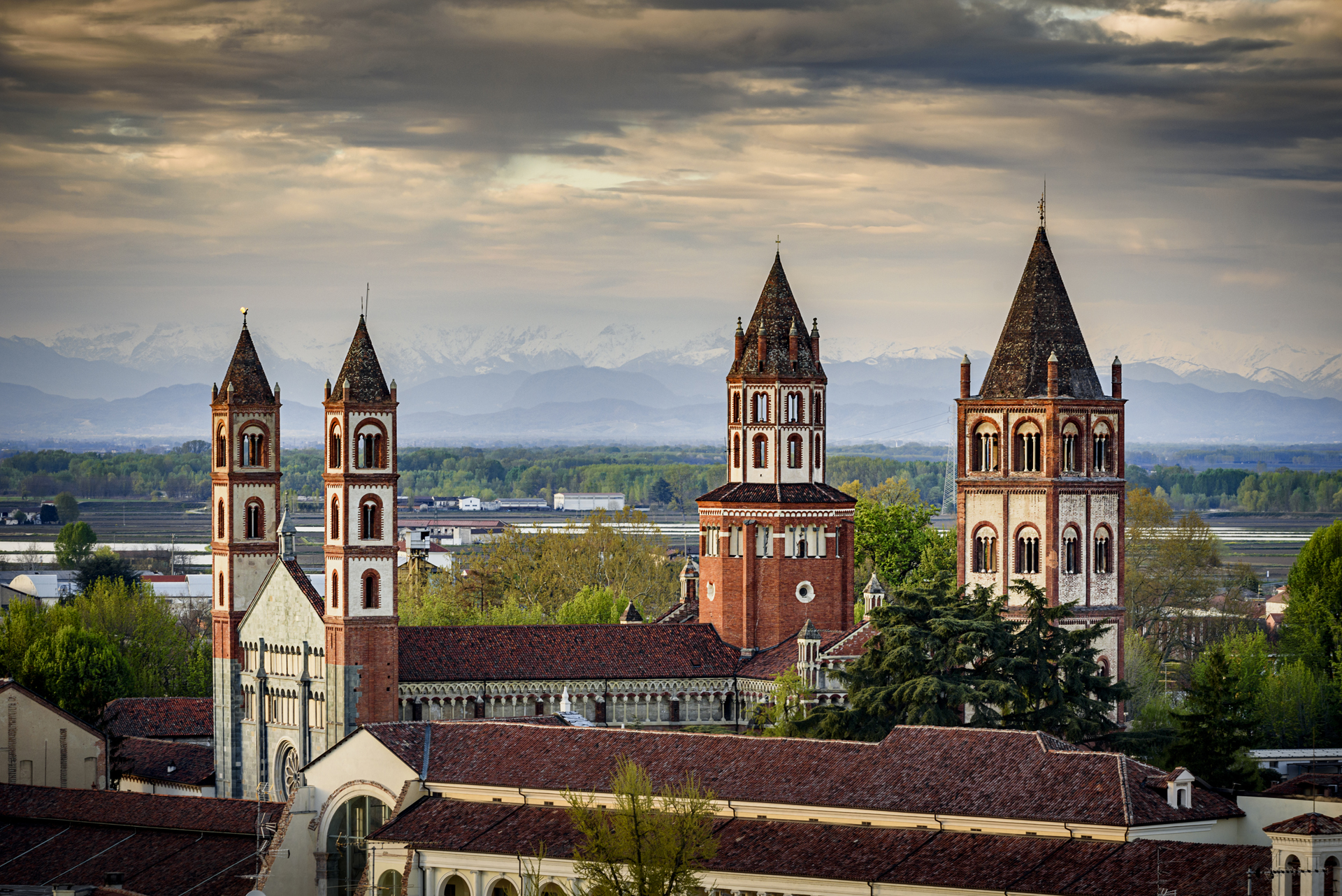
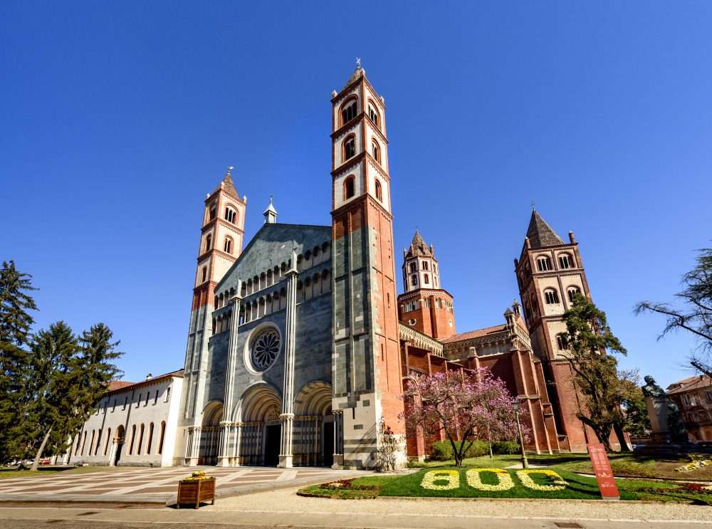
The Abbey of St. Andrew was erected in Vercelli in barely eight years between 1219 and 1227, commissioned and funded by Cardinal Guala Bicchieri, a descendant of one of Vercelli’s most noble and powerful families, and a skilled diplomat of the time. Featuring Romanesque-Gothic architecture, the Abbey of St. Andrew is amazing for its majestic lightness, formal elegance and construction detail. Although the name of the author of the project is still a mystery, its architectural peculiarity lies in the perfect union of Romanesque lines from northern Italy and Gothic lines from beyond the Alps. Despite major renovations implemented over the centuries, the Abbey of St. Andrew still retains the charm and unique character that make it one of the world’s greatest masterpieces of Romanesque-Gothic architecture.
The Basilica
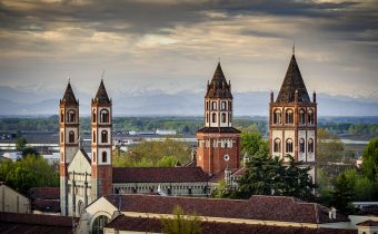
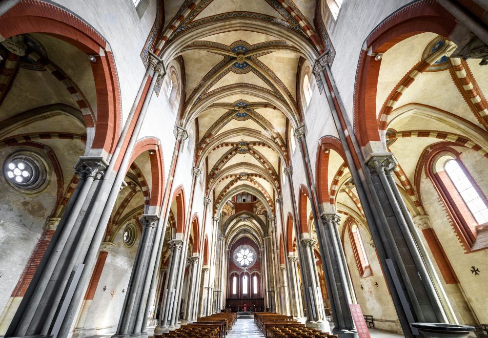
From the outside, the Basilica appears mighty with four vertical structures, precisely the two front towers, the tiburium and the side bell tower. Access to the basilica is through three magnificent portals surmounted by marvellous lunettes from the school of Benedetto Antelami. The chromatic effect created by the different materials used for the construction is remarkable, with the grey-green of Valsesian stone that covers most of the façade; the white of the sandstone of the small columns and of the capitals of the loggias; the red of the bricks at the top of the towers. The sober interior devoid of furnishings presents solemn proportions and is lit by magnificent rose windows and windows, which emphasise the succession of red and white materials and construction lines. The three large aisles, divided by wide pointed arches supported by cylindrical pillars, end with a very high transept where the majestic octagonal tiburium rises in the centre. On either side of the presbytery, which houses a precious 14th century wooden choir, are four apsed chapels. The most interesting of these is the one housing the funeral monument of Tommaso Gallo, the first abbot of the Church of St. Andrea.
The Cloister and Chapter House
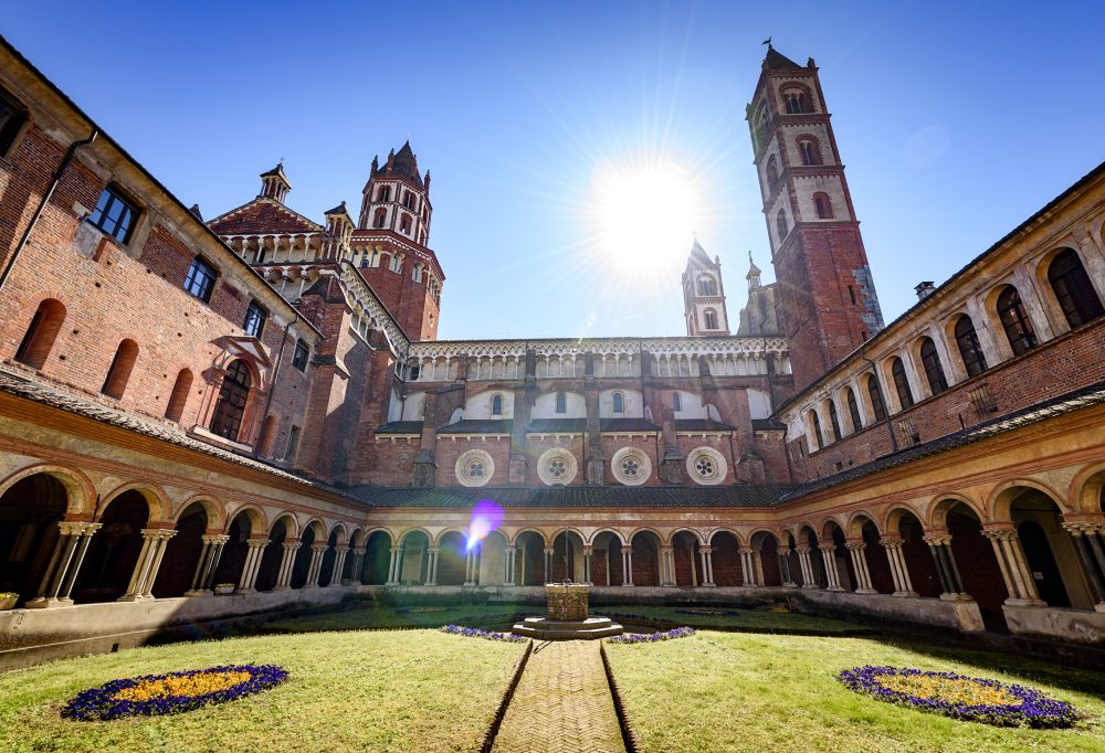
Next to the basilica stands the abbey complex that housed the dwellings and rooms used by the monks. The first to be called upon by Cardinal Guala Bicchieri to govern the Abbey were the Augustinian Canons of St. Victor of Paris, later replaced in 1467 by the Lateran Canons Regular, who governed the Abbey until the 20th century. The hall, considered one of the most beautiful in Italy, is thus named because it was the place where the Chapter, the collegial body of the monks, met. With a square floor plan covered by ribbed vaults resting on four central stone columns, its interior preserves two frescoes attributed to Bernadino Lanino, a 16th century Vercelli painter. In addition to its beauty, the room is of great historical significance for the city. Peace between the Guelphs and Ghibellines of Vercelli was stipulated here in 1310, in the presence of Emperor Henry VII of Luxembourg.
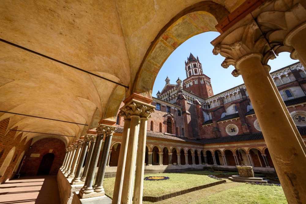
Despite having undergone major alterations over the centuries, the cloister still appears today as a cosy environment, a place of peace and meditation. Enclosed on three sides by the abbey buildings and on one side by the basilica itself, it preserves a magnificent portico with terracotta frames and 14th century paintings. In the centre of the cloister is a well from which one can enjoy a spectacular view of the abbey.
HOW TO GET THERE
Info AND CONTACTS
HIGHLIGHTS AND MUST-SEE places
Art and culture, ancient traditions, excellent food and wine, and countless outdoor activities.
CATHEDRAL OF ST. EUSEBIUS – vercelli
Point of interest
Sites not to be missed
CATHEDRAL OF ST. EUSEBIUS (duomo)
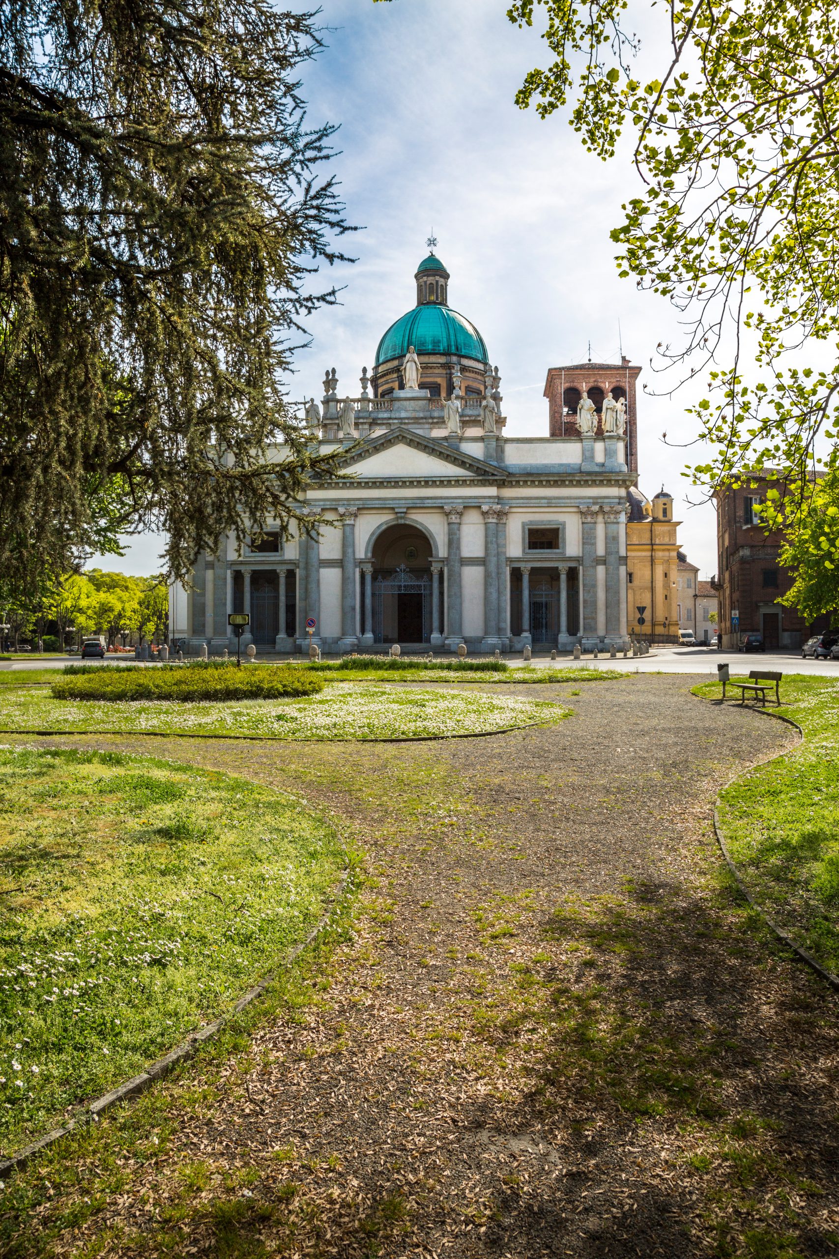
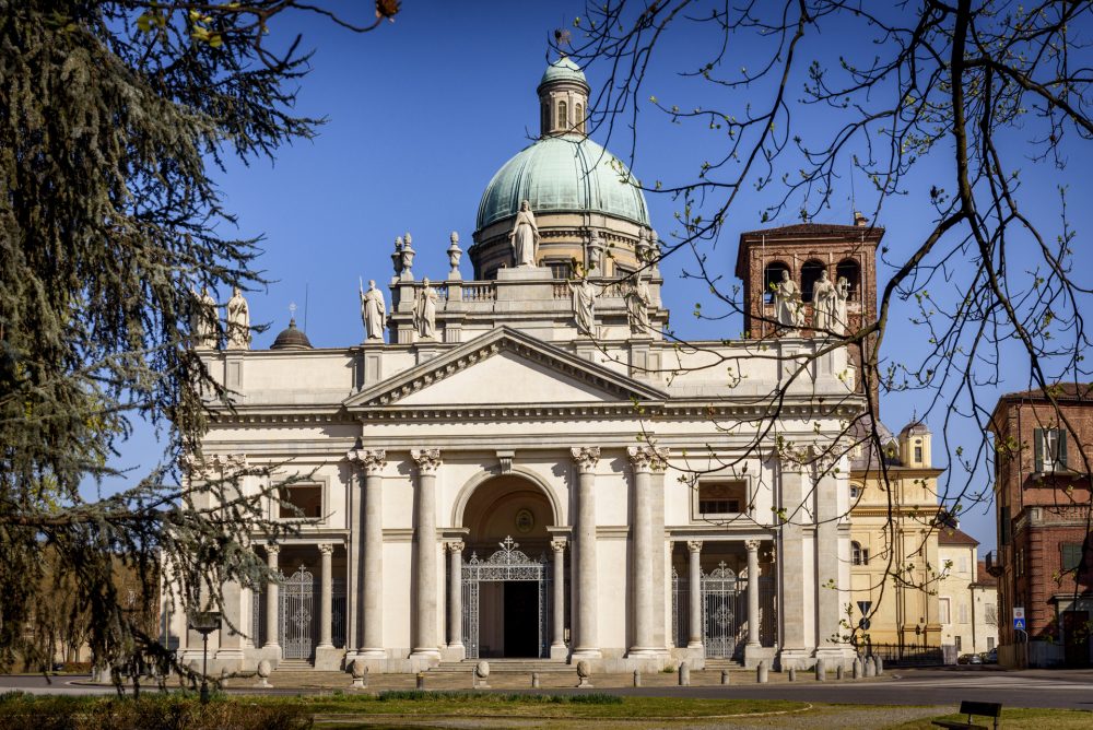
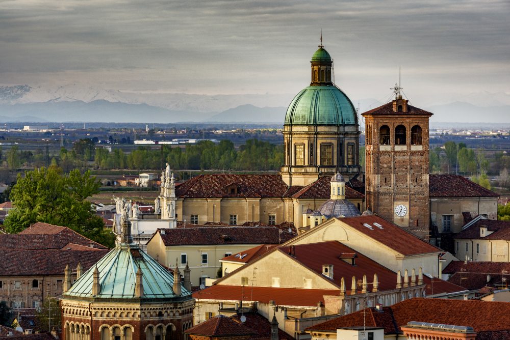
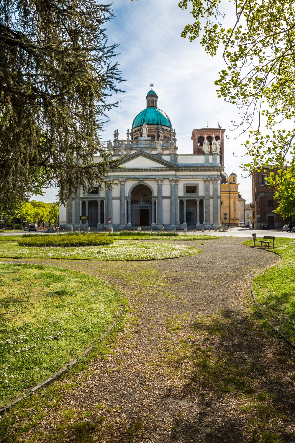
St. Eusebius of Vercelli was the first bishop of the newly formed archdiocese of Vercelli in the 4th century, the patron saint of Vercelli, as well as the first bishop and patron saint of the whole of Piedmont. The Cathedral was erected as a cemetery basilica outside the city walls probably by Eusebius himself, and rebuilt a first time from the 5th century onwards: only the medieval bell tower remains of this first phase. A second reconstruction phase was undertaken in 1570. Admire the 18th-century Baroque façade surmounted by the large dome built in the 19th century, and the medieval bell tower.
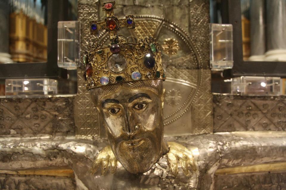
The structure presents a Latin cross with three aisles. The magnificent silver-foil crucifix is suspended in the centre of the main aisle. Its restoration, carried out following an act of vandalism, has allowed it to be definitively dated around the episcopate of Leo (999-1026).
The Vercelli Cathedral is an important piece of the city’s history, from the famous silver crucifix, dating back to the 10th century and an inseparable symbol of Vercelli, to the Bell Tower that dominates present day Angennes Square, the last remnant of the old Basilica; from the Dome, which is also visible from the rice fields, to the mosaic floor skilfully designed by architect Edoardo Arborio Mella from Vercelli. The Archbishop’s Palace next door has become home to one of Vercelli’s most important museums, the Cathedral Treasure Museum, which houses one of the richest and oldest collections of sacred art objects, among the most important in Europe. This extraordinary heritage is preserved in the Museum, the Chapter Library and Archive, and the Archbishop’s Picture Gallery.
HOW TO GET THERE
Info AND CONTACTS
HIGHLIGHTS AND MUST-SEE places
Art and culture, ancient traditions, excellent food and wine, and countless outdoor activities.
ST. CHRISTOPHER church – vercelli
Point of interest
Sites not to be missed
ST. CHRISTOPHER church
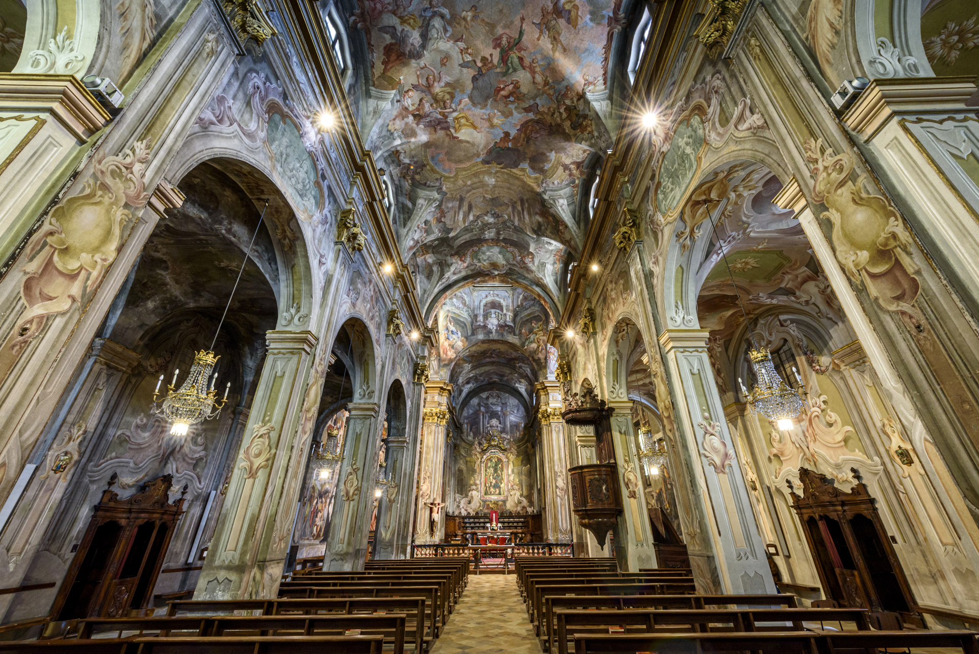
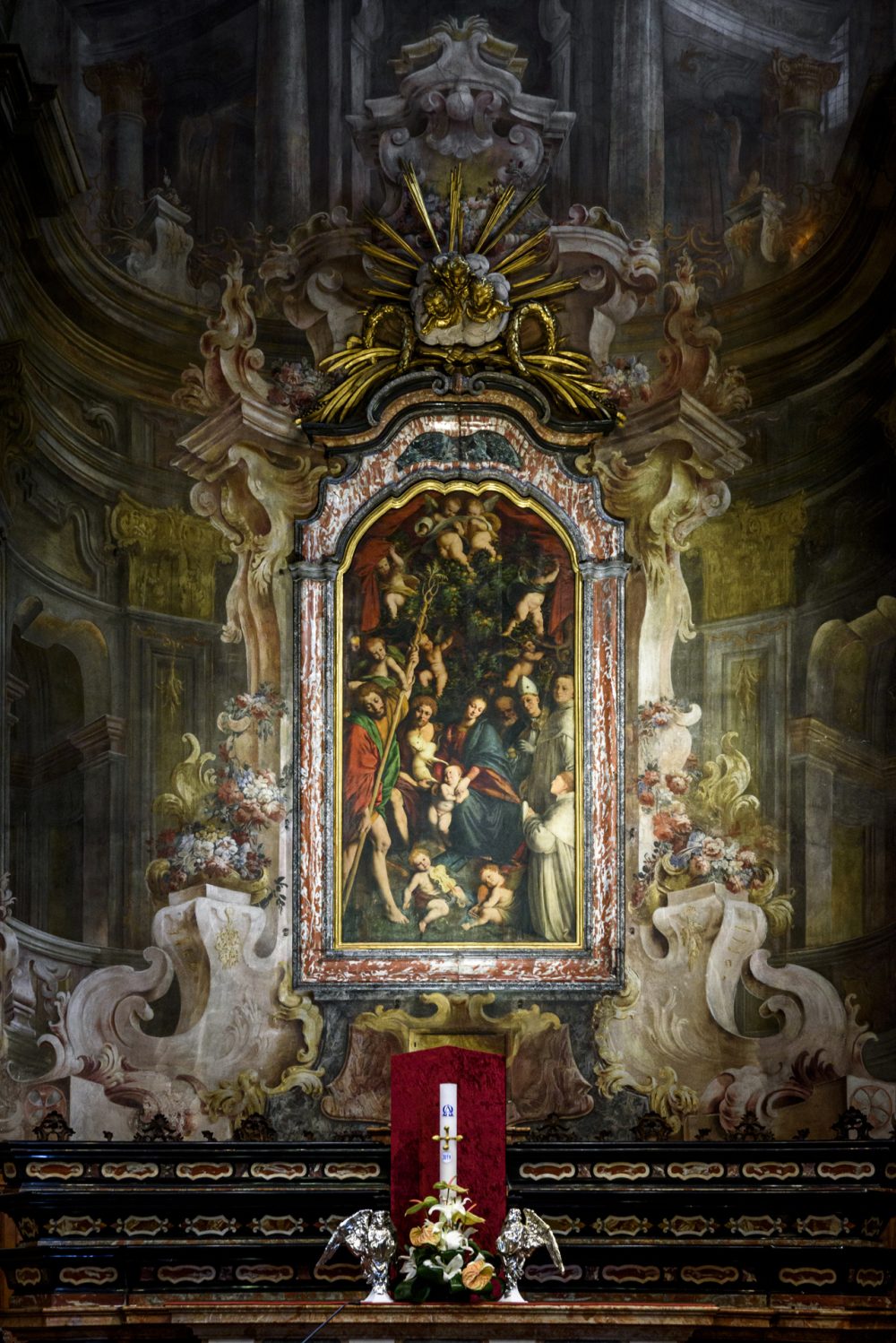
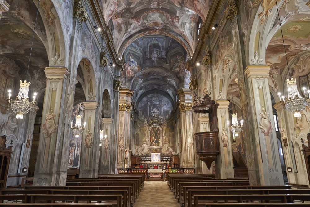
The Church of St. Christopher is a small jewel that houses some precious works by the talented Gaudenzio Ferrari. The church, also known as the Sistine Chapel of Vercelli, is entirely frescoed, and contains some of the most important masterpieces of the Renaissance in Piedmont, such as the Madonna of the Orange Trees altarpiece, the Stories of Mary Magdalene, the Stories of the Virgin Mary, the Crucifixion and the Assumption of the Virgin.
The Church of St. Christopher, with its pure Renaissance style, was rebuilt in 1516 after the old church and convent passed into the hands of the wealthy Corradi family of Lignana. Not many years later, in 1529 to be precise, Gaudenzio Ferrari was asked to carry out work on the interior of the church, which was completed around 1534. Ferrari spent about ten years of his life in Vercelli and certainly the most significant traces of his presence are found in the church of St. Christopher: a veritable treasure chest of some of the most important masterpieces of the Renaissance in Piedmont.
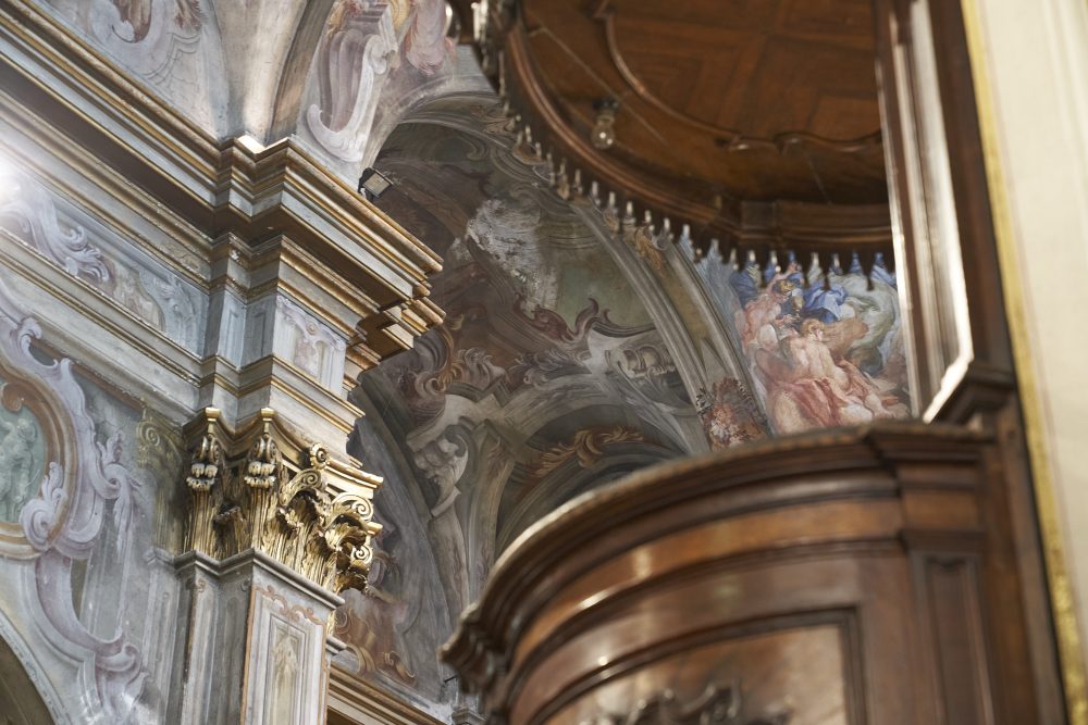
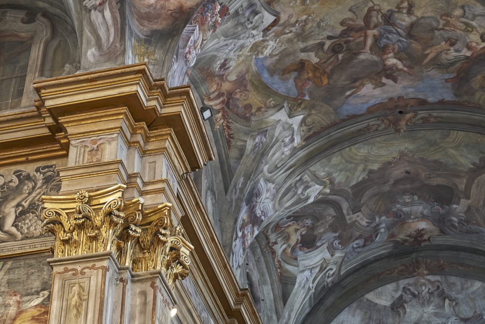
Entirely frescoed with exceptionally evocative cycles depicting Stories of the Virgin and Stories of Mary Magdalene, completed between 1532 and 1534, and the well-known altarpiece called The Madonna of the Orange Trees, where the painted oranges are actually quinces, the Church of St. Christopher awakens a sense of wonder with the shaded and dreamy frescoes that seem to expand, run along the pillars and flood every smallest space with colour and light.
The interior of the church is divided into three aisles ended by the transept over which the dome rises within an octagonal tiburium, which can be seen from the outside. A large polychrome marble balustrade, designed by Filippo Juvarra, divides the area reserved for the faithful from the presbytery area.
HOW TO GET THERE
Info AND CONTACTS
HIGHLIGHTS AND MUST-SEE places
Art and culture, ancient traditions, excellent food and wine, and countless outdoor activities.
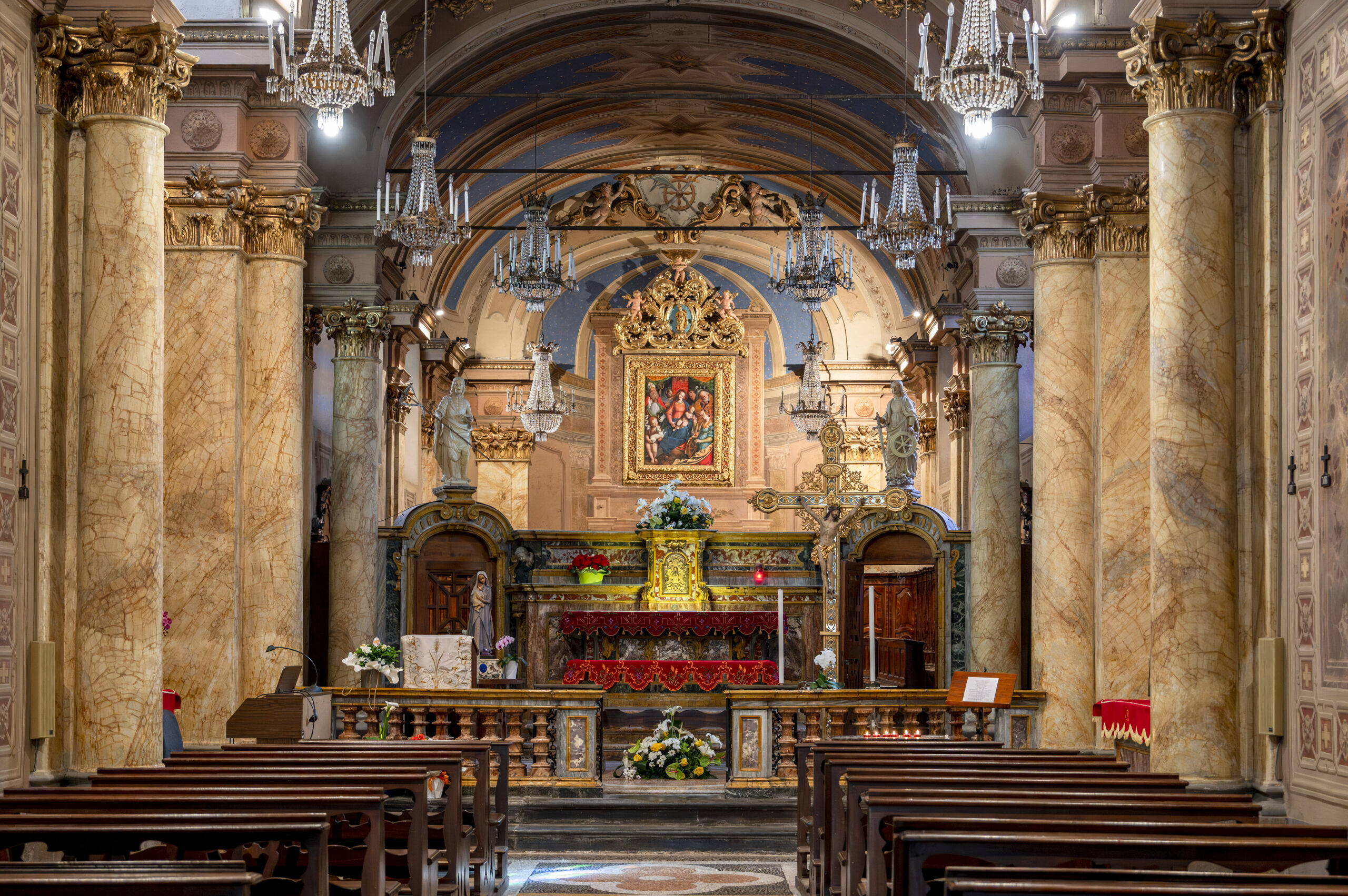
church of saint catherine – vercelli
Point of interest
Sites not to be missed
church of saint catherine
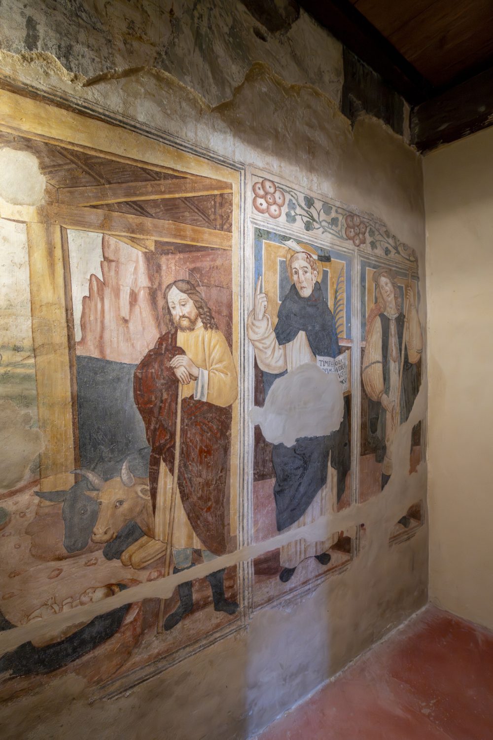
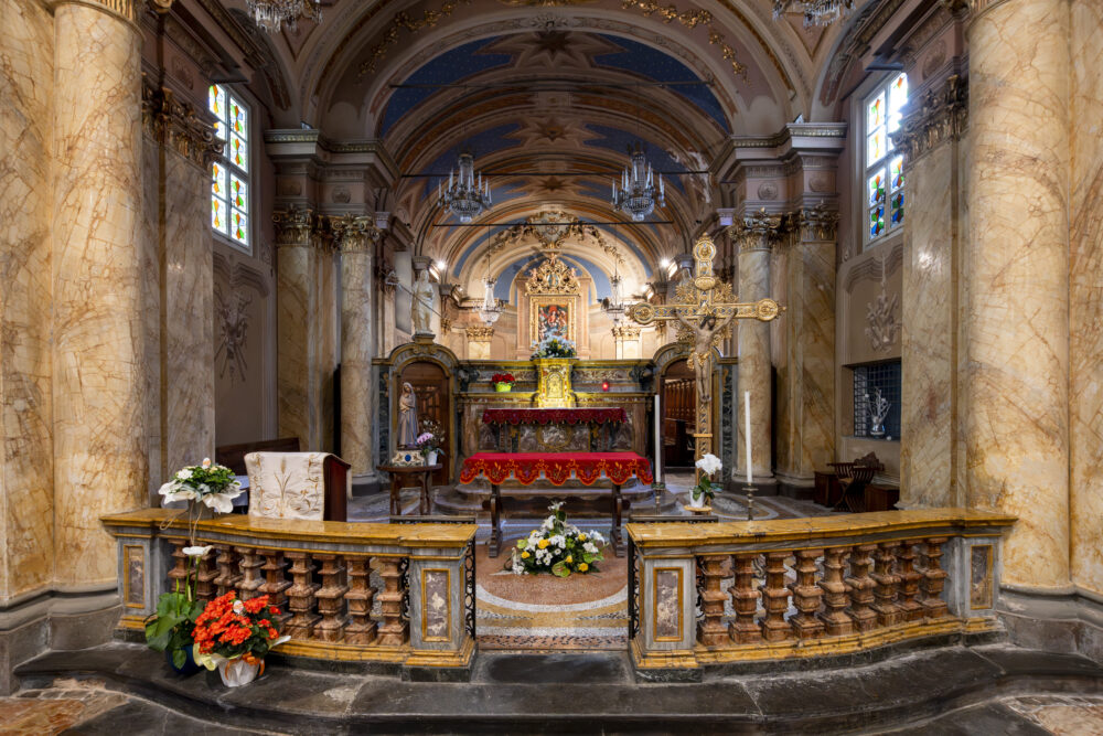
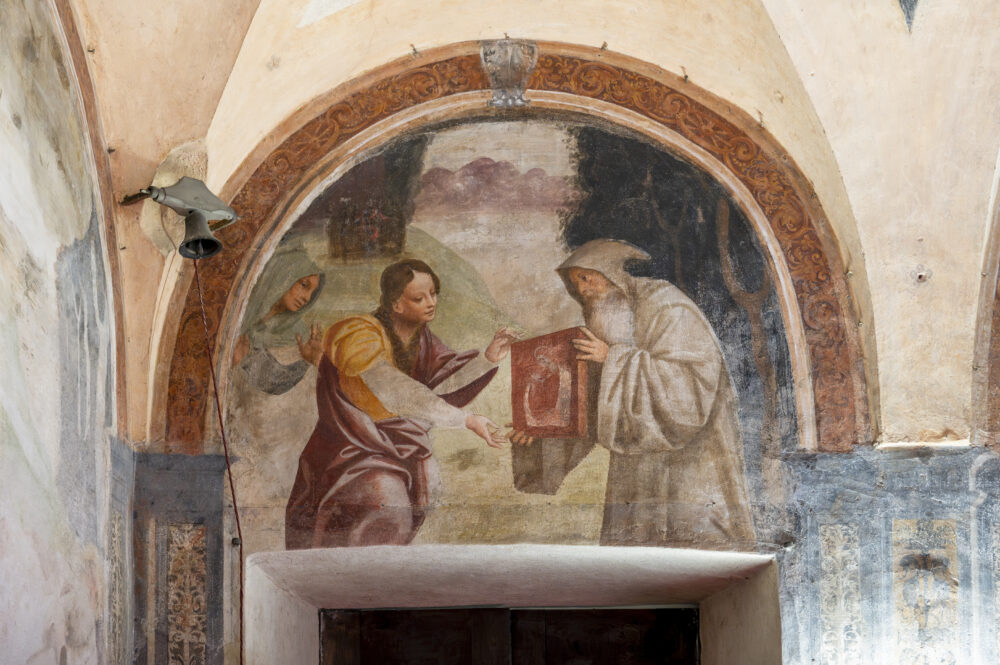
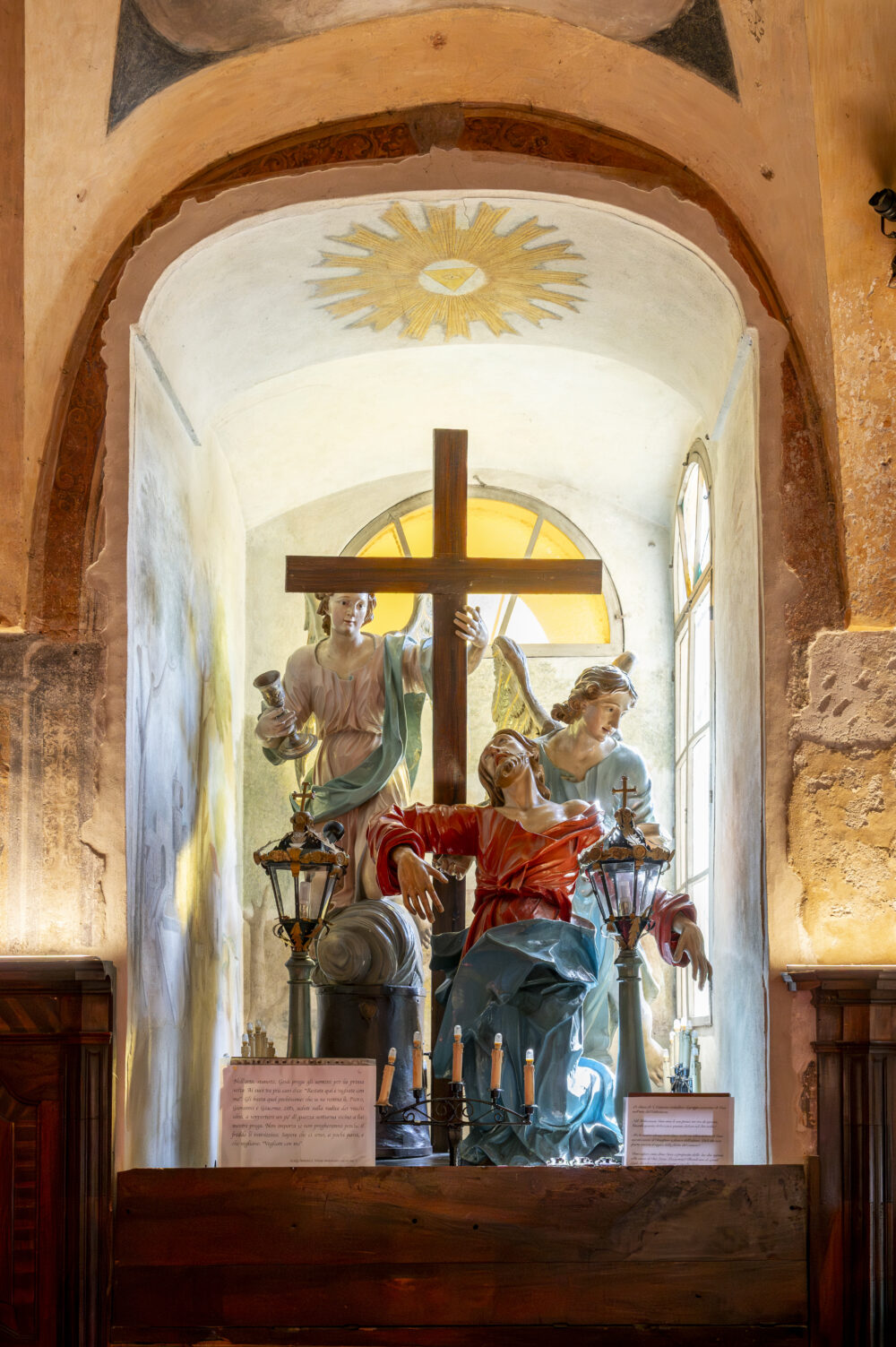
In 2015, the church underwent extensive restoration work, bringing to light several fascinating frescoes, still in excellent condition, dating back to the late 15th century—among them, the depiction of the Nativity.
The Confraternity of Saint Catherine initially arose as the Congregation of Santa Maria della Misericordia, with its founders meeting in a house beneath the parish of Santa Maria Maggiore. It was thanks to the bequest of a fellow brother that the Confraternity’s first church, dedicated to Saint Catherine of Alexandria, was built, along with a hospice for travelers and pilgrims on the Via Francigena, which also served as a treatment center for the sick. The new layout for the hospital and the church was granted by Duchess Bianca Maria of Savoy in 1486.
The Confraternity of Saint Catherine was one of the first to equip itself with a Macchina, a sculptural group depicting a biblical passage, which is carried through the streets of Vercelli every Good Friday in the traditional Procession of the Macchine.
HOW TO GET THERE
Info AND CONTACTS
HIGHLIGHTS AND MUST-SEE places
Art and culture, ancient traditions, excellent food and wine, and countless outdoor activities.
THE SYNAGOGUE IN VERCELLI
Point of interest
Sites not to be missed
THE SYNAGOGUE IN VERCELLI
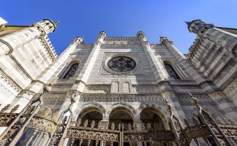
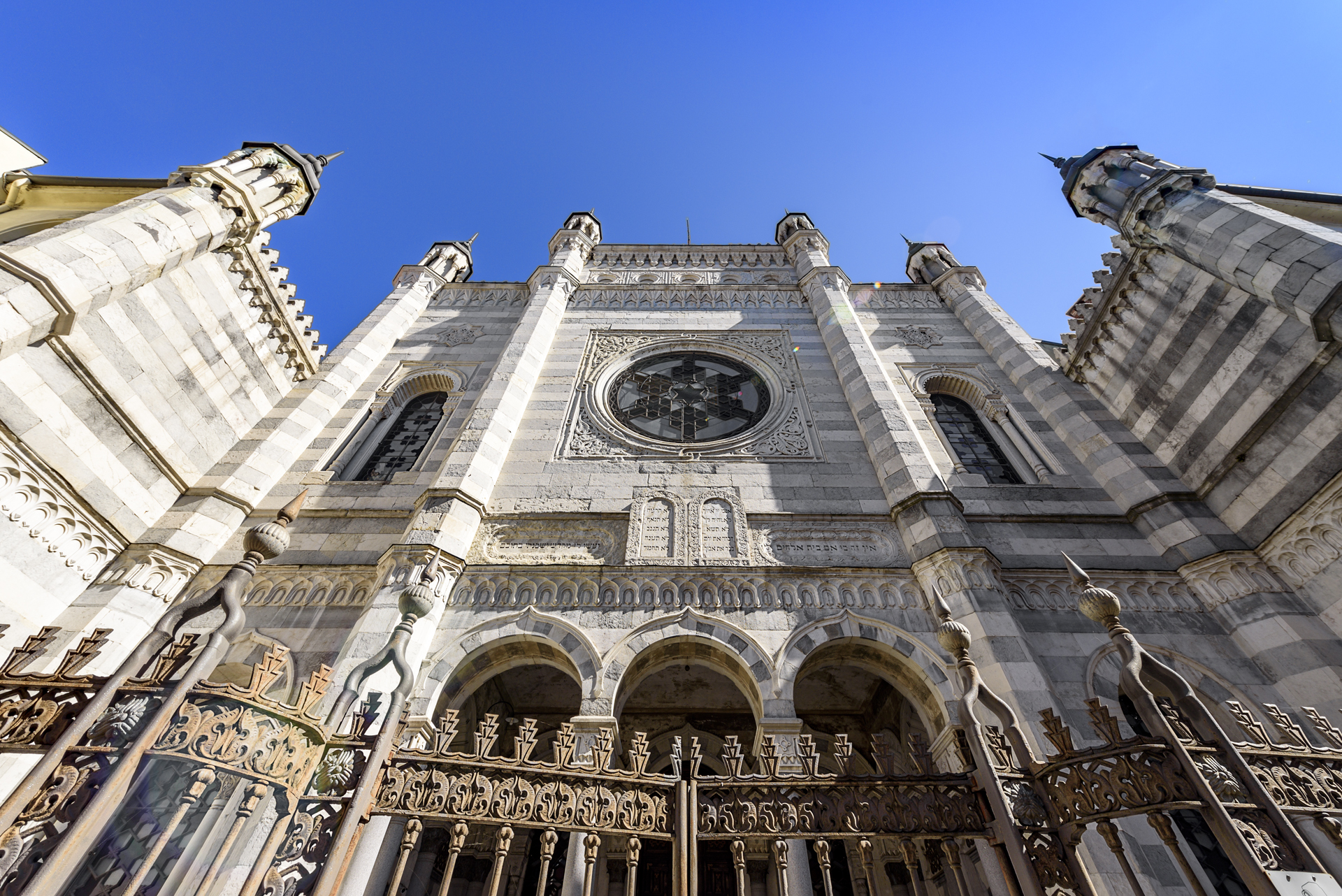
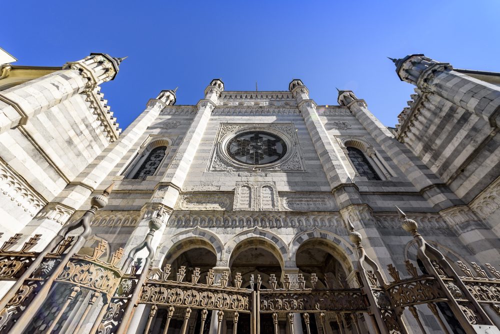
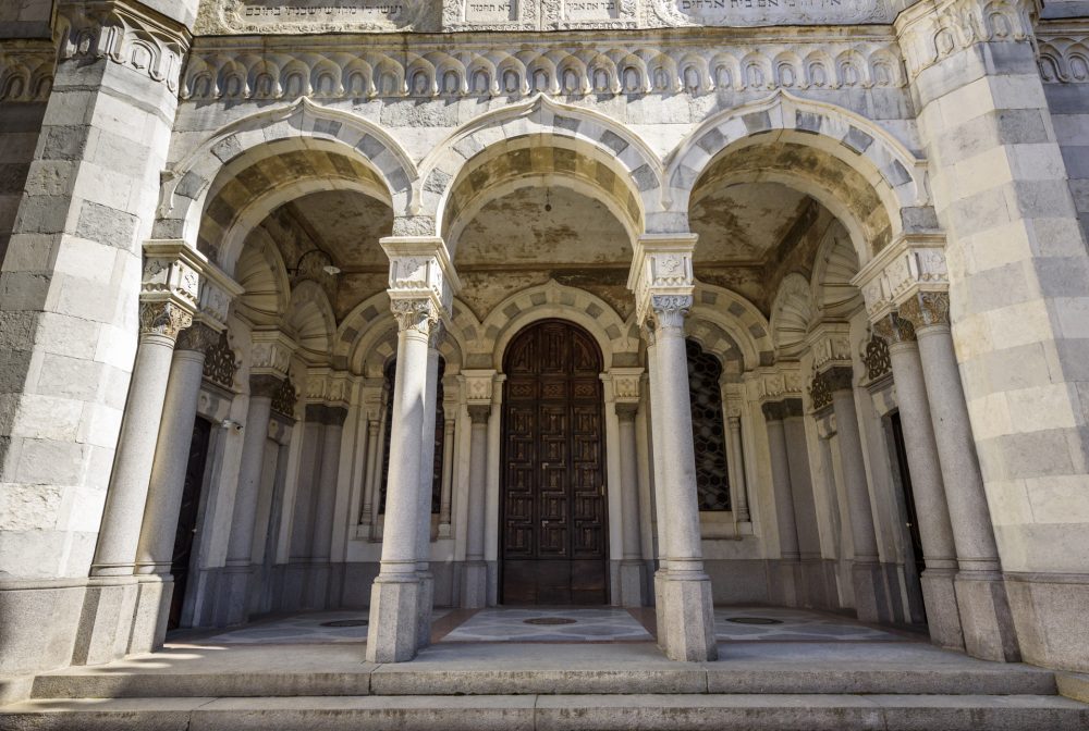
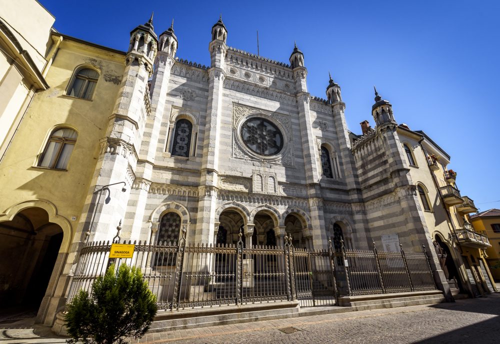
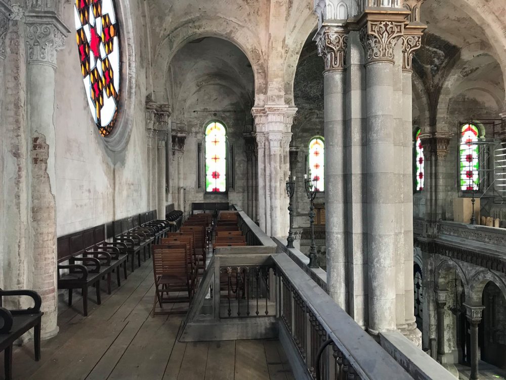
The Synagogue in Vercelli, inaugurated on 18 September 1878, is located in the centre of the former Jewish ghetto. The building is among the most striking in Italy, and is one of the most significant examples of the Moorish style in the latter half of the 19th century.
In the same area where the Synagogue now stands, there was once a small oratory, inaugurated in 1740 within the new ghetto, which had been established that same year. With the emancipation of 1848, it became almost immediately necessary to build a new place of worship more in keeping with the numerical size of Vercelli’s Jewish community, which at the time counted more than 600 people. The project was finally entrusted to architect Giuseppe Locarni, who carried out construction works on the building between 6 September 1874 (laying of the foundation stone) and 18 September 1878 (the date of its inauguration).
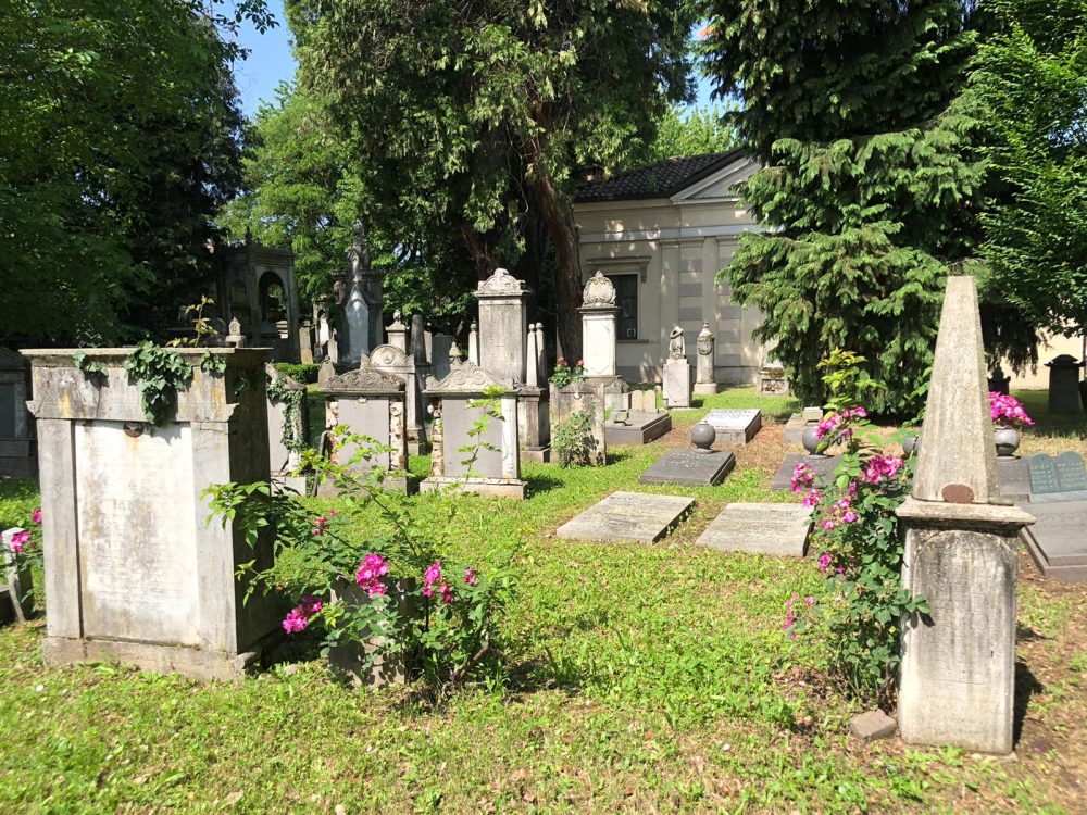
The city of Vercelli also hosts a Jewish cemetery, which was established in 1801, following the purchase of a plot of land in accordance with Napoleon Bonaparte’s cemetery regulations. Prior to the present cemetery, there were other burial grounds, precisely small cemeteries rented in various places in the city, which were later abandoned in the 19th century. The present Jewish cemetery is located outside the city centre of Vercelli. The tombs, placed in an elegant green space, differ considerably from each other. Indeed, the ancient ones have a simple shape and appear worn by time, while those following the emancipation have monumental tombs and family chapels of great artistic value, and were assimilated by the customs of non-Jewish society. Open periodically to the public. Check with the Secretariat.

HOW TO GET THERE
Info AND CONTACTS
HIGHLIGHTS AND MUST-SEE places
Art and culture, ancient traditions, excellent food and wine, and countless outdoor activities.
THE ARCA EXHIBITION CENTRE- vercelli
Point of interest
Sites not to be missed
polo THE ARCA EXHIBITION CENTRE
arca
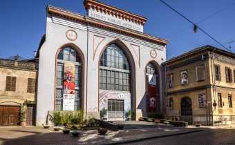
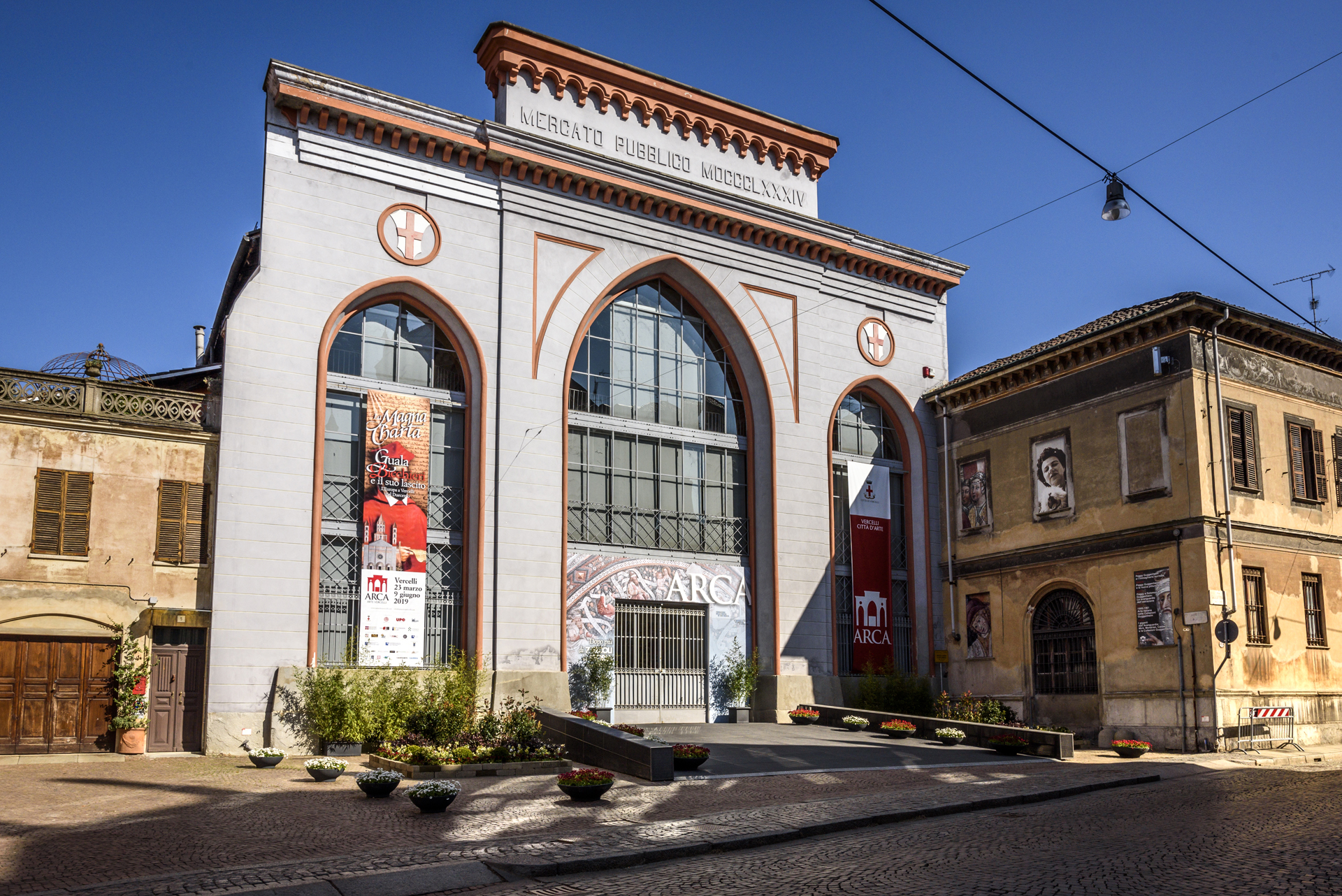
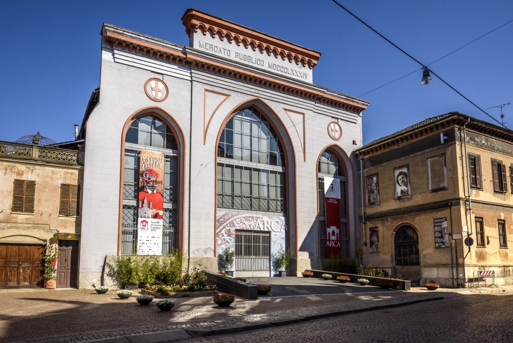
ARCA is the modern exhibition centre that was opened in 2007 in Vercelli with an extraordinary exhibition organised by the Guggenheim Foundation in Venice. Designed by architect Ferdinando Fagnola, it is housed in the former medieval Church of St. Mark. After undergoing several transformations over the centuries, the church has become the subject of important restoration work on the frescoes, and the recovery of the architectural structures, which can be seen during the temporary exhibitions hosted at the ARCA.
The actual exhibition centre consists of an ultra-modern glass and steel structure resting in the central aisle, while the two side aisles are left free to be used for collateral events related to the current exhibitions. This creates a striking contrast between the modern, technological space of ARCA and the medieval atmosphere of the aisles and apse, enhancing the charm of this space.
This innovative parallelepiped has now become one of the city’s symbols, as well as a “stylistic statement” of the desire and ability to combine both the ancient and the contemporary. Indeed, the structure’s crystal vaults allow one to admire the medieval and majestic vaults of the church of St. Mark. In turn, the former church is returning, for the pleasure of Vercelli’s residents and tourists alike, the marvellous hidden 15th-century frescoes unveiled by the young restorers of the Venaria Reale Conservation and Restoration Centre.
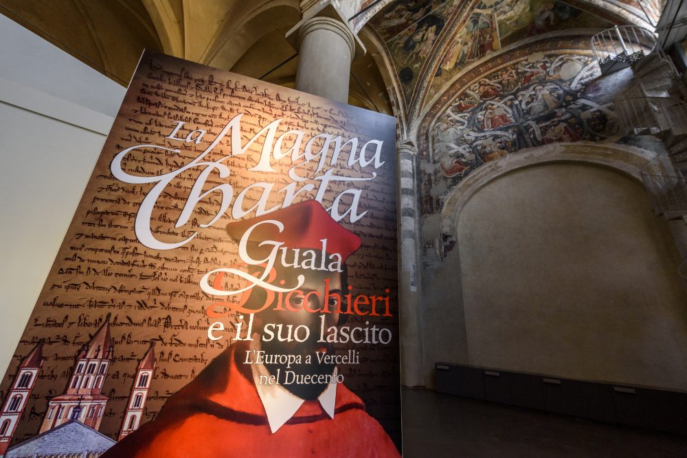
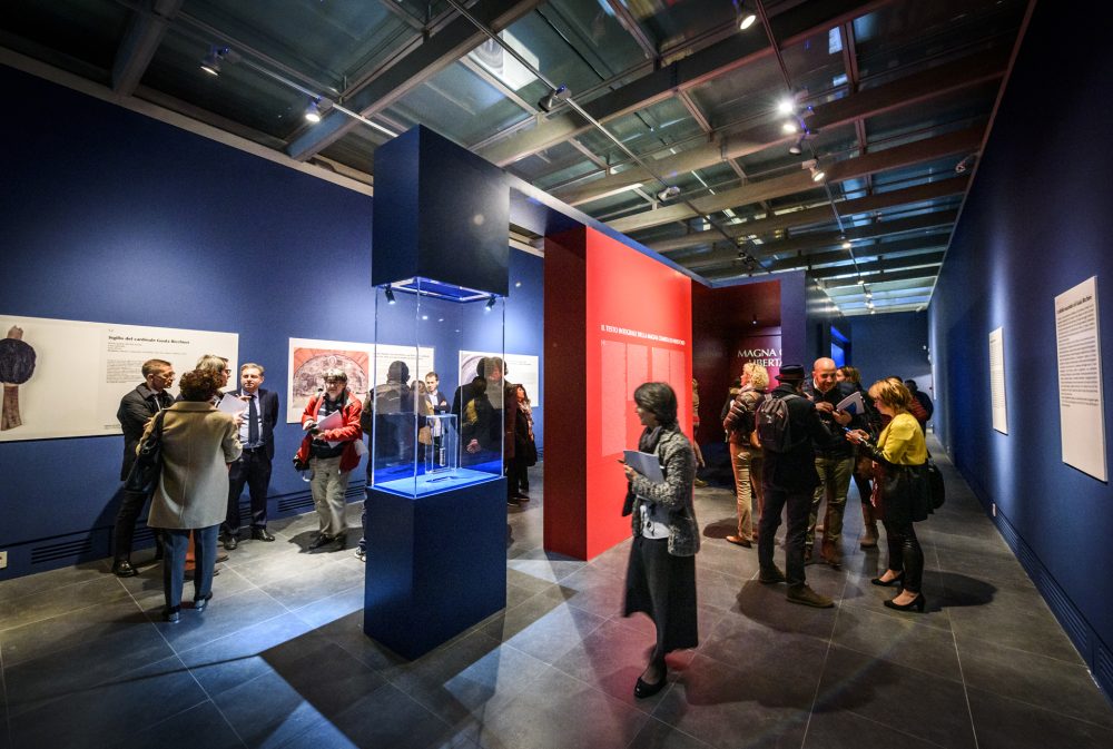
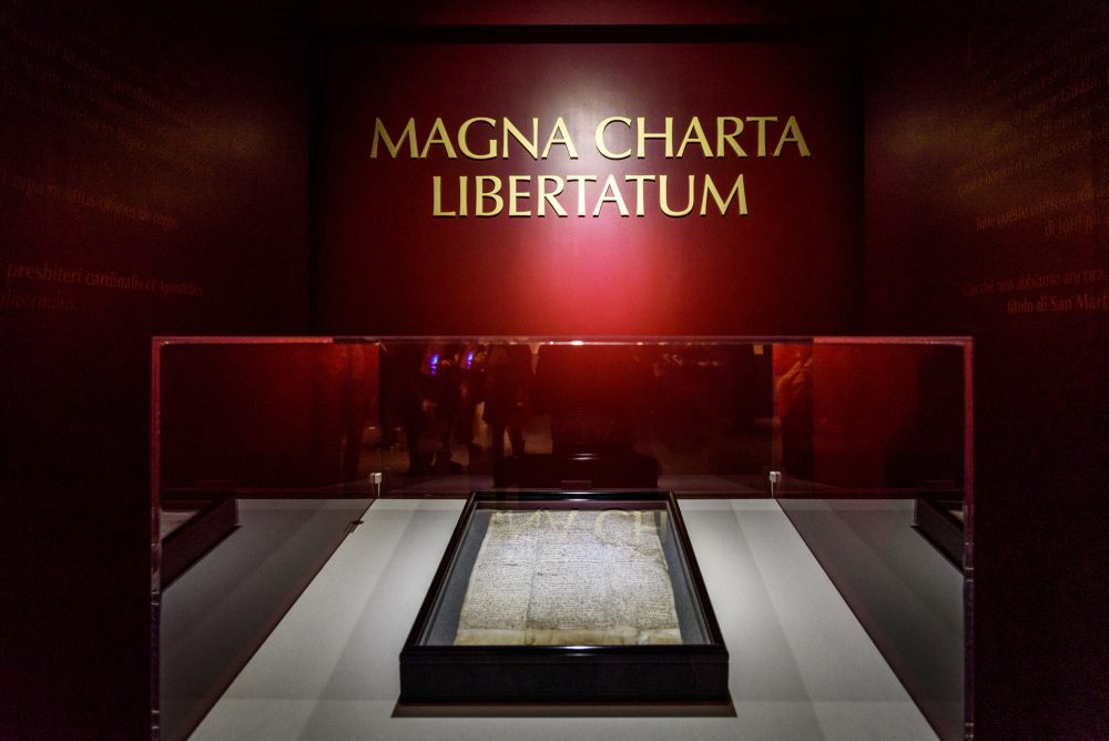
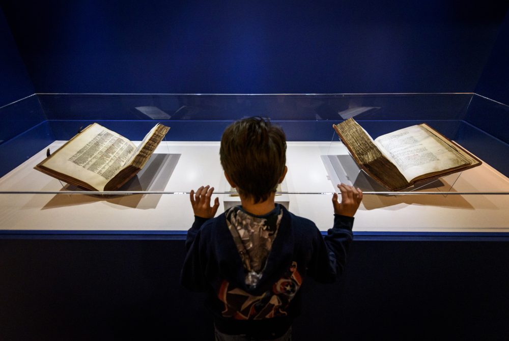
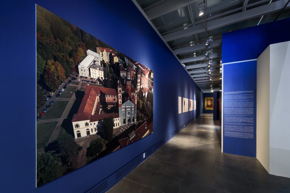
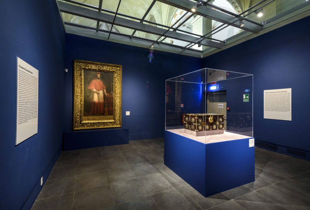
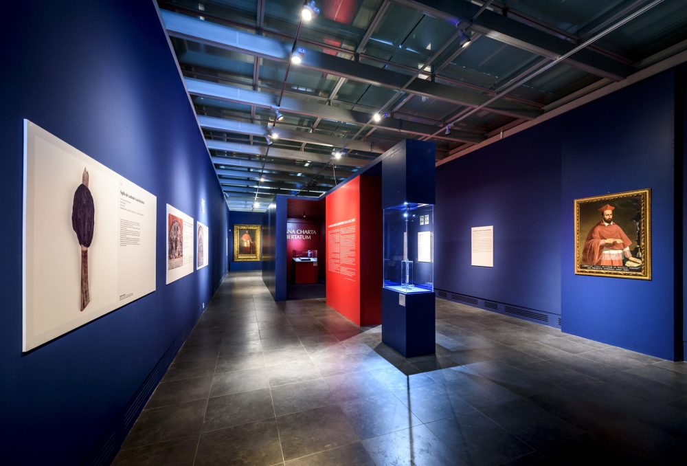
ARCA is used to host events and exhibitions. The leading ones include exhibitions in collaboration with the Guggenheim Foundation, “The Renaissance of Gaudenzio Ferrari” and the exhibition dedicated to the Magna Charta and the 800th anniversary of St. Andrew’s Abbey.
HOW TO GET THERE
Info AND CONTACTS
HIGHLIGHTS AND MUST-SEE places
Art and culture, ancient traditions, excellent food and wine, and countless outdoor activities.
RICE-GROWING CONSERVATORY
Point of interest
Sites not to be missed
RICE-GROWING CONSERVATORY
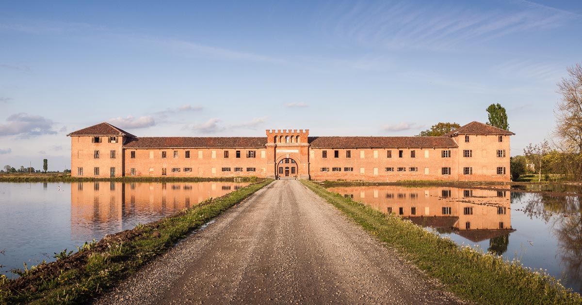
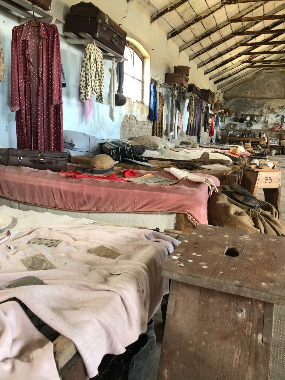
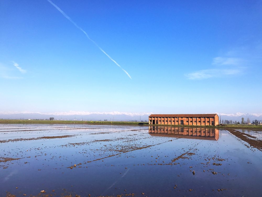
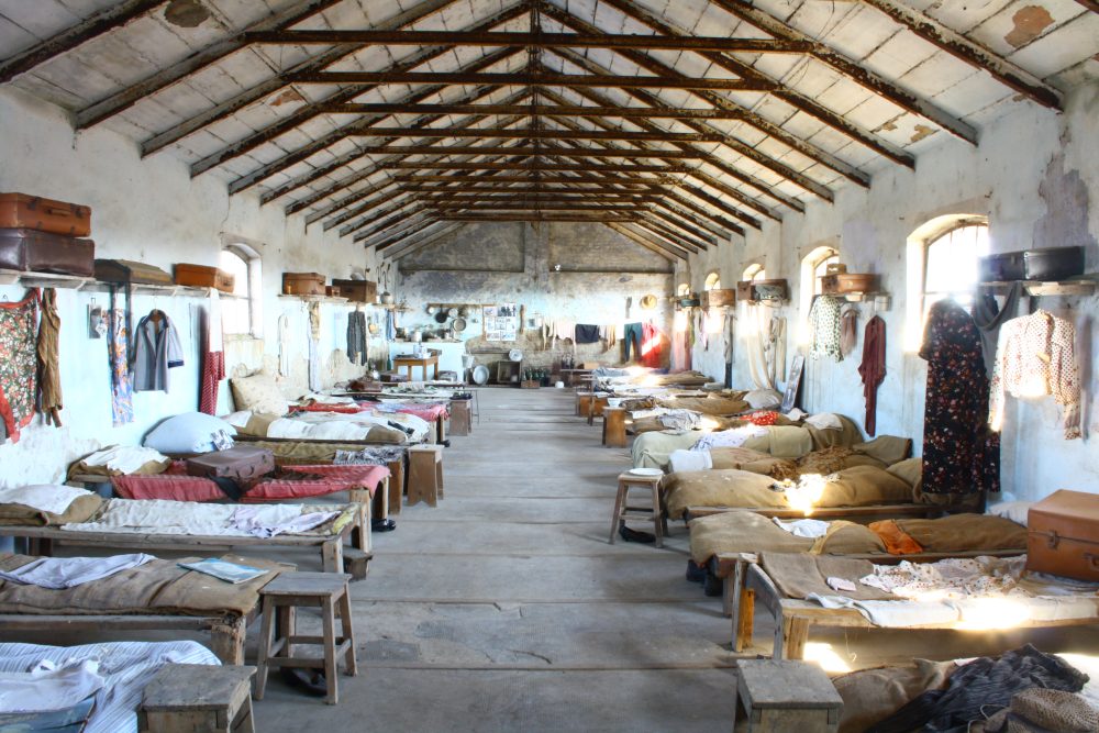
Many changes have taken place in this small town of Livorno Ferraris since the distant 1400s, when the Colombara Estate was created from a hostel for wayfarers, a typical farmstead with a closed courtyard where rice cultivation began. With the arrival of the Rondolino family, the Colombara Estate was transformed over the centuries into a micro-world inextricably linked to rice, featuring dwellings, taverns, shops and everything necessary for daily life. The dormitory of the mondine (rice mill workers) was built in 1920. It is now called the “Rice Growing Conservatory”.
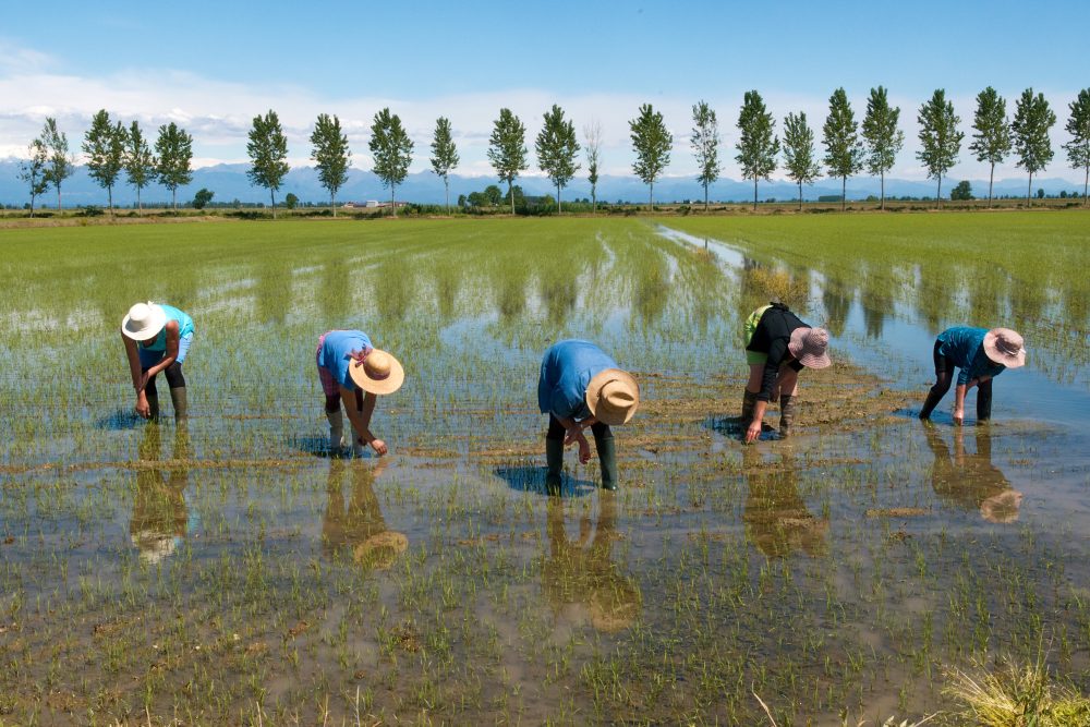
The mondine were seasonal female labourers who worked in the rice fields mainly during the flooding period, from April to June. The work consisted in transplanting rice seedlings into the paddy field and in removing weeds. It was very hard physical work, often carried out under questionable hygiene conditions, so much so that in the early 1900s a protest was organised, and the rice mill workers obtained a contract establishing the 8-hour work day in 1906. The event was marked by a plaque affixed in the centre of Vercelli, a short distance from the town hall.
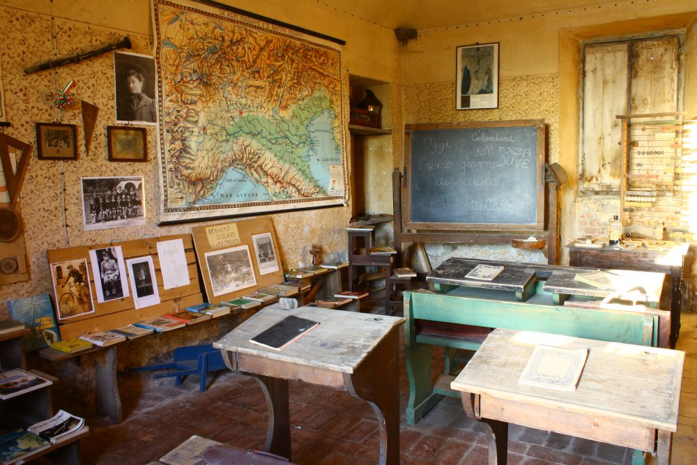
The Rice Growing Conservatory is part of the Terre d’Acqua Ecomuseum, the largest and most complex of Piedmont’s ecomuseums. The Conservatory was established by the Rondolino family, some local authorities, and the municipality of Livorno Ferraris as a place of memory and testimony to the area’s rice-growing culture. It consists of two main parts: the dormitory of the rice mill workers, and some rooms of the farmstead that have been set up to illustrate the living environment of a mid-twentieth-century rice mill.
The various rooms, including the kitchen, bedroom, schoolroom and craftsmen’s workshops, exhibit period objects and unique memorabilia donated and catalogued by the townspeople. Visiting these spaces will carry you back into the past, underscoring the great value of collective memory in preventing us from forgetting our history.
HOW TO GET THERE
Info AND CONTACTS
HIGHLIGHTS AND MUST-SEE places
Art and culture, ancient traditions, excellent food and wine, and countless outdoor activities.
PRINCIPALITY OF LUCEDIO
Point of interest
Sites not to be missed
PRINCIPALITY OF LUCEDIO
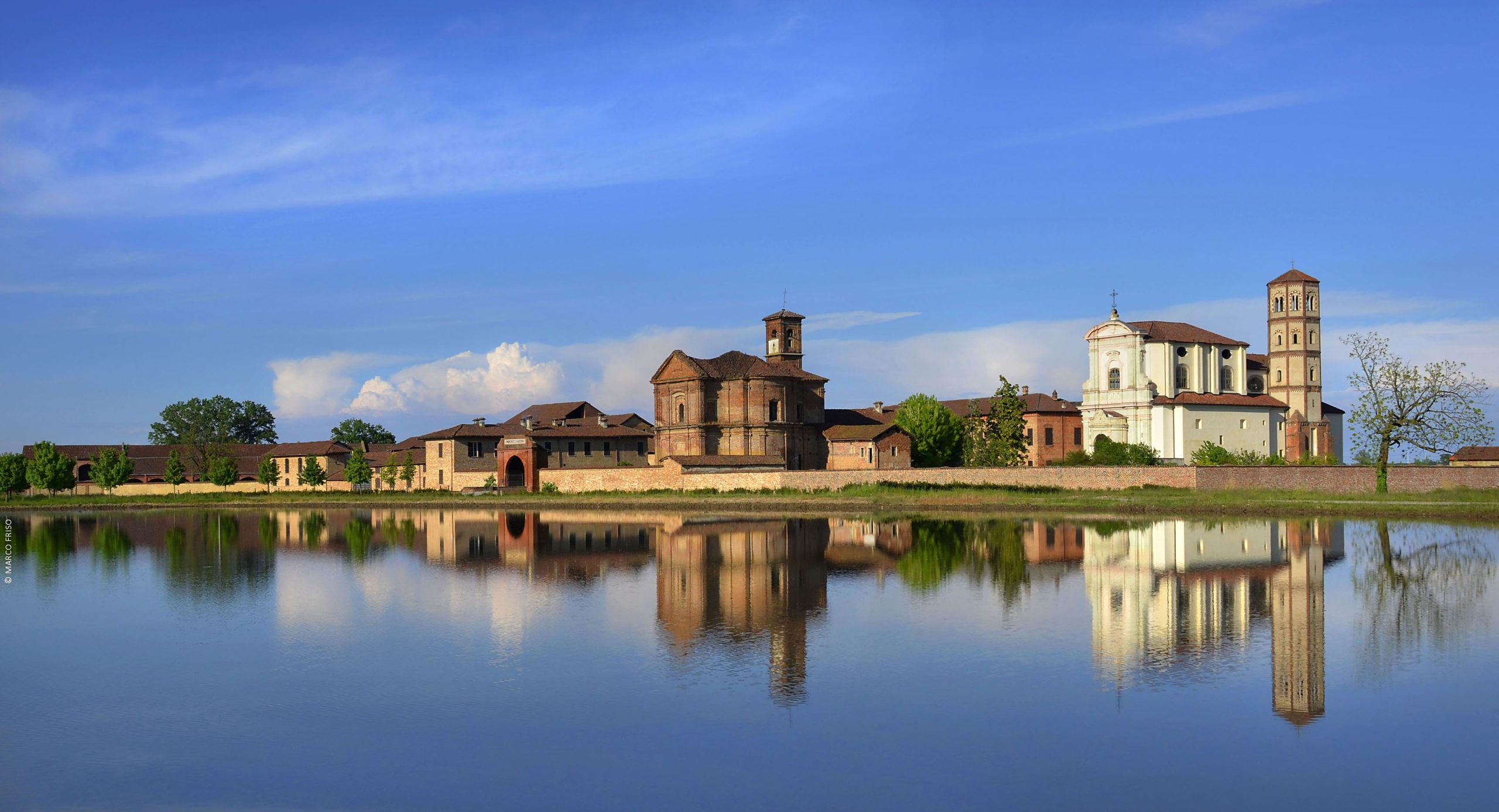
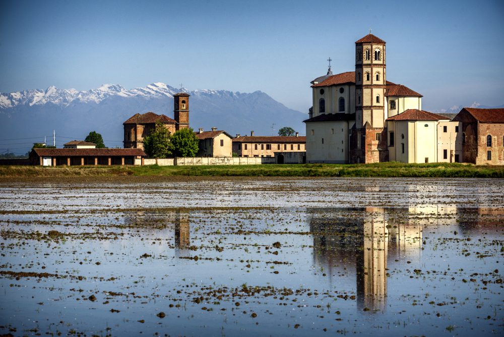
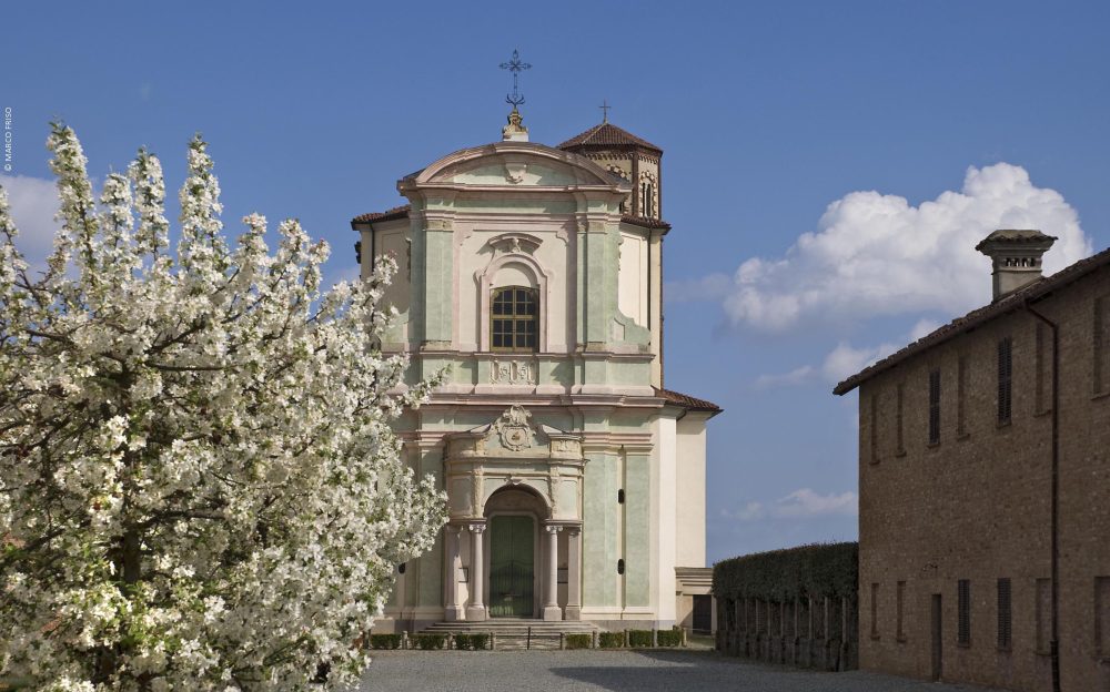
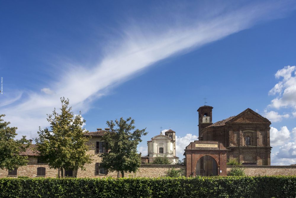
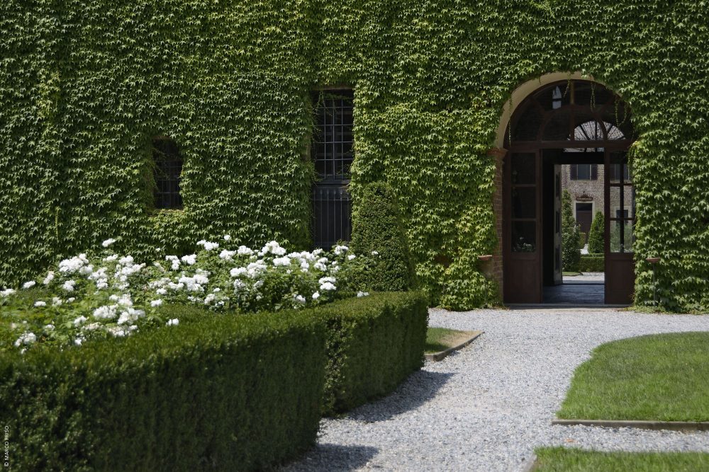
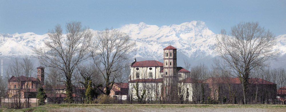
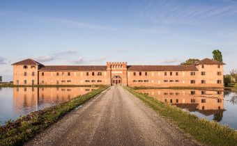
Known as the Principality of Lucedio since 1875, the ancient Abbey, founded in 1123 by the Cistercian monks at the behest of the Marquis of Monferrato who granted them various lands, experienced numerous changes of ownership over the centuries that weighed heavily on its fragmentation process, which became definitive in 1818, when Prince Camillo Borghese, Napoleon’s brother-in-law and then Governor General of Piedmont, divided the property into three parts in order to sell it.
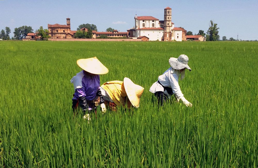
Lucedio is considered the cradle of Italian rice. The Grange territory developed from here, farms disseminated over a large agricultural area obtained by clearing and levelling the land. The geographical position along the Via Francigena was also strategic in the past for the socio-economic development of the abbey, which became a flourishing centre of political power. As many as three Pontiffs visited it in those centuries.
Now the abbey, located just a few kilometres from the village of Trino Vercellese, is a modern farm that can be visited, and which has preserved its characteristic medieval rooms. Beyond the fortified walls, you can still admire the abbey church, the unique bell tower, which is octagonal at the top but square at the base, and the four-sided chapter house.
HOW TO GET THERE
Info AND CONTACTS
HIGHLIGHTS AND MUST-SEE places
Art and culture, ancient traditions, excellent food and wine, and countless outdoor activities.
THE PARTECIPANZA WOOD
Point of interest
Sites not to be missed
THE PARTECIPANZA WOOD
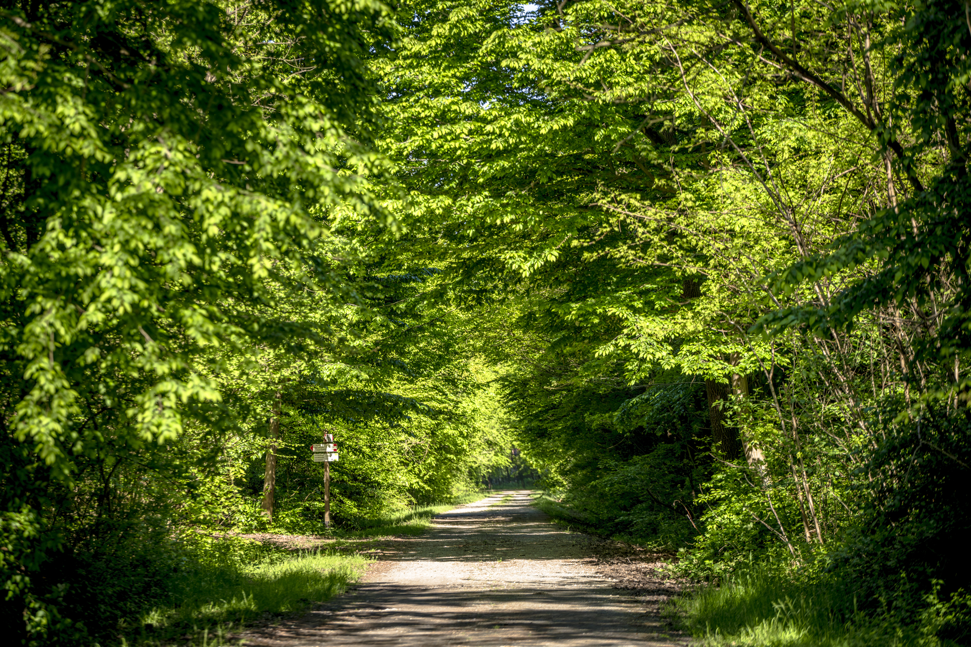
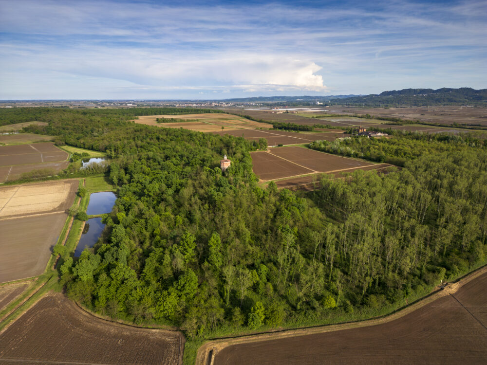
A green raft in the midst of rice fields, this is how the Sorti della Partecipanza Wood in the Trino Vercellese municipality is often described. It is the last vestige of the vast lowland forest that covered the Po Valley before the extensive land reclamation works for agriculture in the Middle Ages almost totally destroyed it.
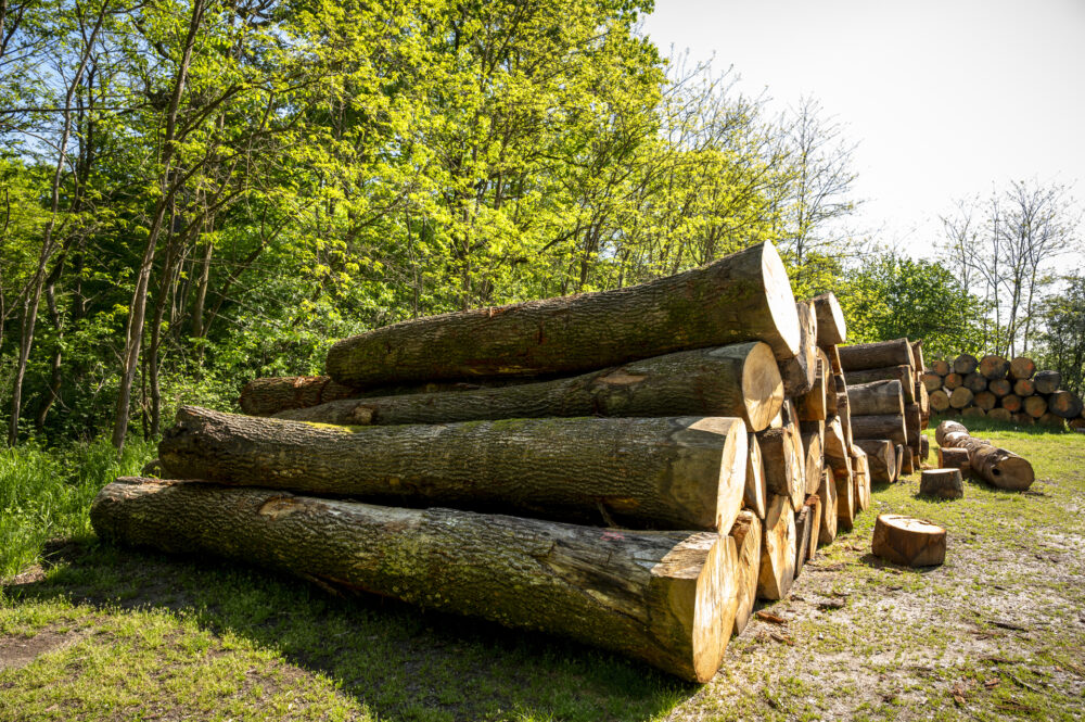
Its preservation specifically depends on a strict tree felling system that has been complied with since 1275 when the entire area was assigned in common ownership to the citizens of Trino. To date, members use the wood in accordance with the tradition of past centuries. An area is yearly placed on a tree felling rotation schedule, and then divided into smaller areas known as sorti or “spots”. Each spot is then divided into four (hence the name quartaruoli) and matched to a number. In November, one of the spots is drawn at random by the Participants; hence, it is chance that decides in which area the member may cut his or her share of quartaruoli.
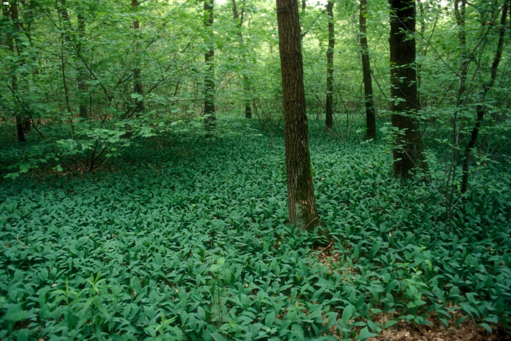
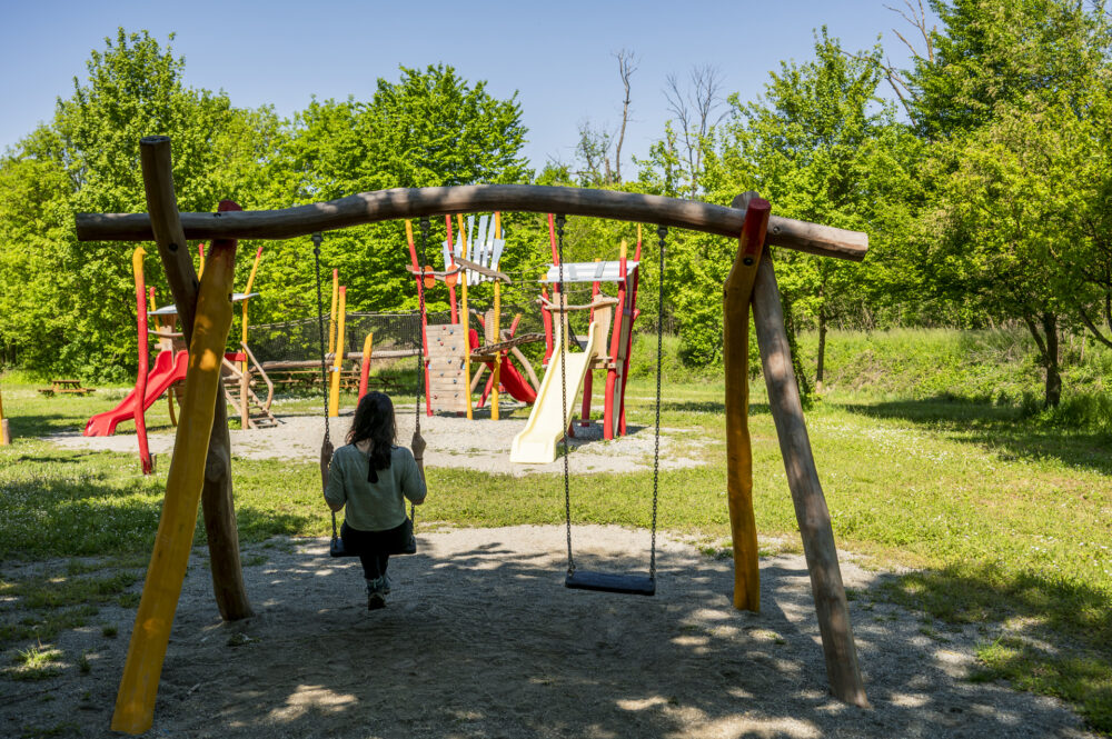
Since 1991, it has been a protected natural area in Piedmont, a large green island of 600 hectares where various animal species find refuge that would find it hard to survive in the surrounding environment so affected by the rice monoculture. The Partecipanza Wood is bright with trees allowing a glimpse of the colours of the sky. It also counts several signposted paths for walking or mountain biking. There is no shortage of picnic areas to enjoy a picnic surrounded by nature, just a stone’s throw from Vercelli.
HOW TO GET THERE
Info AND CONTACTS
HIGHLIGHTS AND MUST-SEE places
Art and culture, ancient traditions, excellent food and wine, and countless outdoor activities.
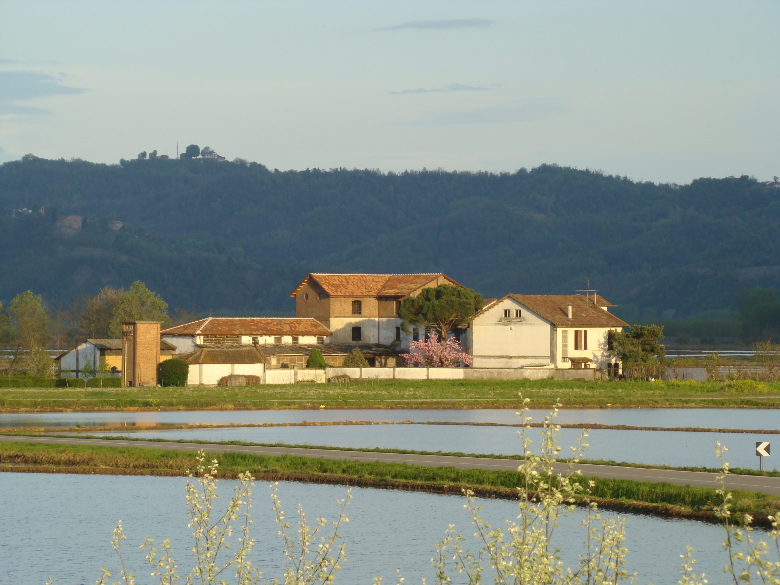
THE ANCIENT RICE MILL OF ST. JOHN
Point of interest
Sites not to be missed
THE ANCIENT RICE MILL OF ST. JOHN
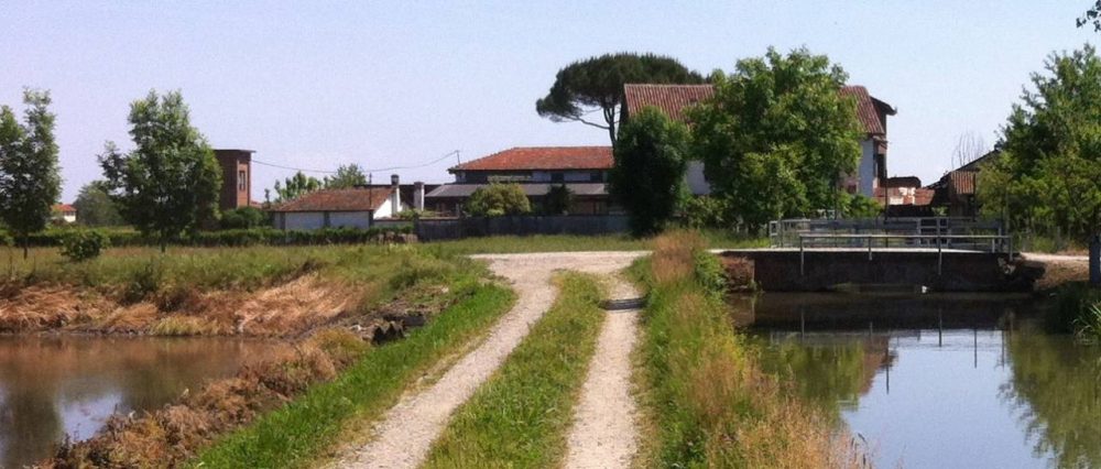
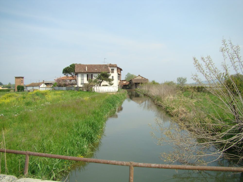
The Ancient Mill of St. John is located near the municipality of Fontanetto Po, and is a unique testimony in the Vercelli area of a rice mill powered by water. Its production activities ended in the late 1980s, as it was unable to withstand competition from state-of-the-art industrial plants. It was built in 1465, at the same time as the Roggia Camera canal by which it is fed, at the behest of Marquis Guglielmo del Monferrato. At the time, the Mill was called ‘da Po’ for its proximity to the great river. Rebuilt in 1617 following the destruction suffered by the surrounding area during the wars between the French, the Spanish and the Marquises of Monferrato, it was then called Mulino Nuovo, the new mill.
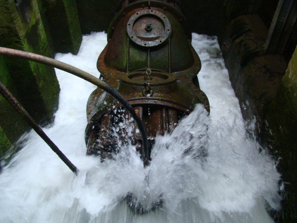
Like many other mills in the rice growing plain, the Mill of St. John lost its function linked to the milling of cereals over the centuries, while its connection to rice processing grew. In 1699 the land register lists it as a “pista”, i.e. a millstone for mechanically driven rice “husking”’, with hydraulic power obtained by means of a paddle wheel moved by water. In the 19th century, the structure was extended with a second building connected to the first by a footbridge. The millstone was replaced by machinery operated by the driving energy of water, which was no longer transmitted by the wheel but by the then innovative turbine that powers the plant to date.
HOW TO GET THERE
Info AND CONTACTS
HIGHLIGHTS AND MUST-SEE places
Art and culture, ancient traditions, excellent food and wine, and countless outdoor activities.