ALAGNA, Fraz. Pedemonte – Alpe Campo – Alpe Sattal/Bocchetta della Moanda
Route / Trekking
Hikes
trail n. 209 Pedemonte – Alpe Campo – Alpe Sattal/Bocchetta della Moanda
A long and scenic trail that allows the traverse from Alagna to Rima and is also the normal route to climb Mount Tagliaferro from Alagna
Difficulty: medium
Difficulty: medium
departure altitude: 1242 mt
arrival altitude: Bocchetta della moanda 2422 mt
altitude difference: 1180 mt
Route description
From the village of Alagna, follow the carriage road that runs alongside the Sesia River until you cross the bridge to the hamlet of Pedemonte on the right, where at the end of the paved road you will find a parking lot for cars.
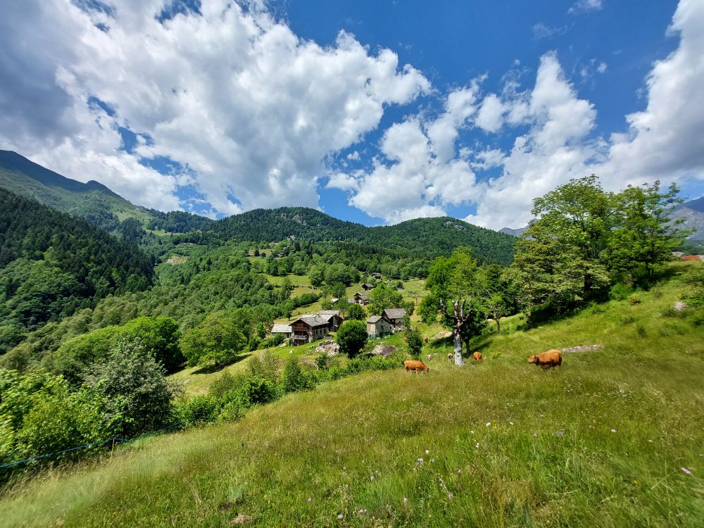
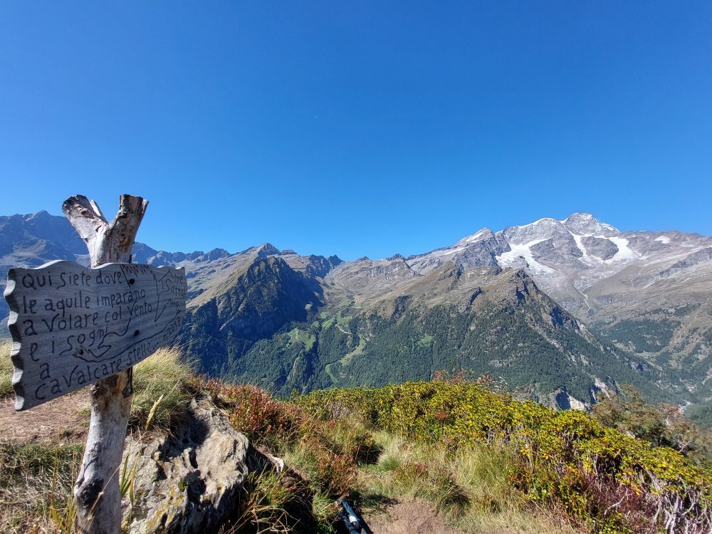
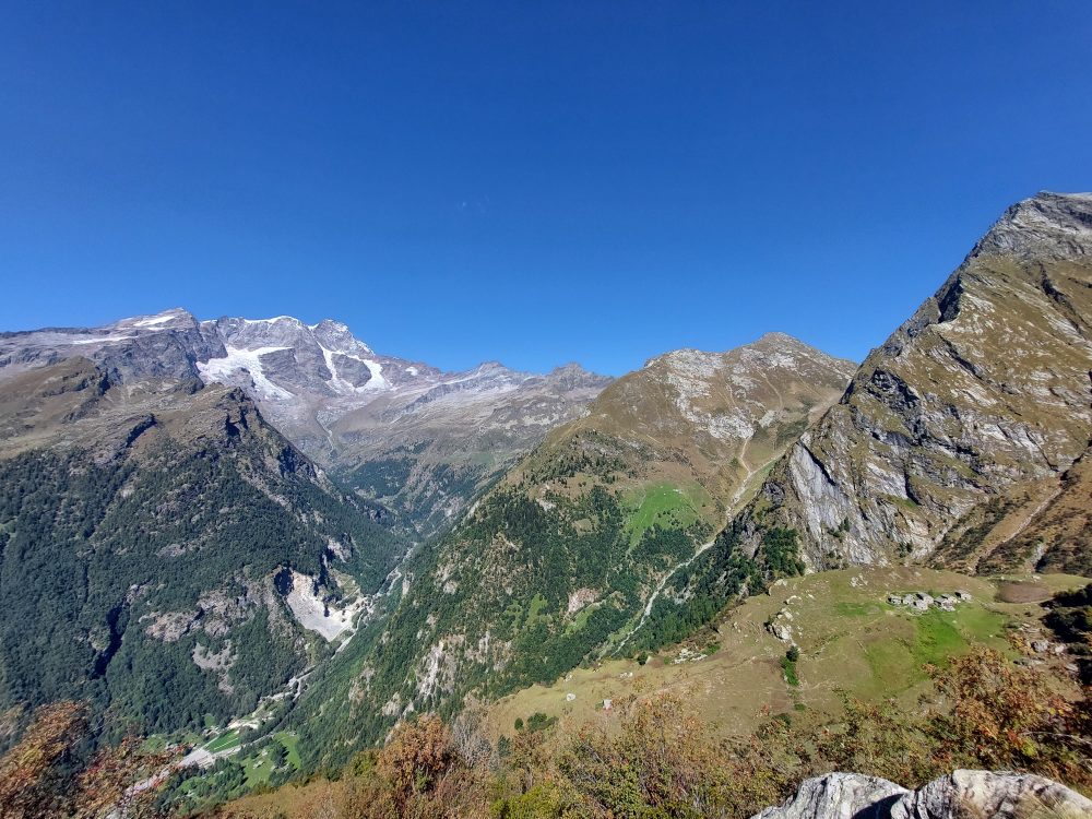
Just beyond the parking lot, take path 209, which approaches the hamlet of Ronchi (Im Rong) and crosses Wittwosma Inferiore. After crossing the Rio Campo after a short ascent, you reach the pasture of Upper Wittwosma (30 min). You then pass between a group of huts and climb up a steep path past the Rio Campo Waterfall (Kamp Zuba), thus reaching the depression of this watercourse. At this point you may notice a sign indicating on the right the path leading to the Alpe Sattal hut, 2097m: from Pedemonte in about 2 hours you can reach this beautiful alp where you will find the Alpe Sattal hut, a mountain B&B with Monte Rosa view.
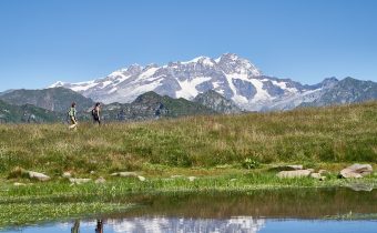
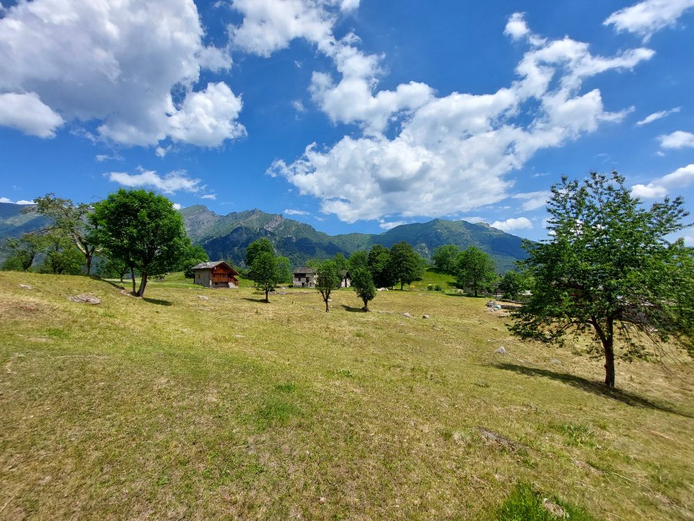
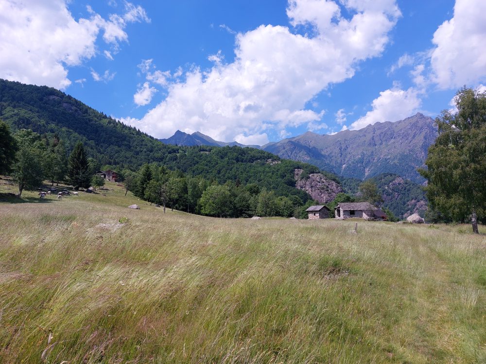
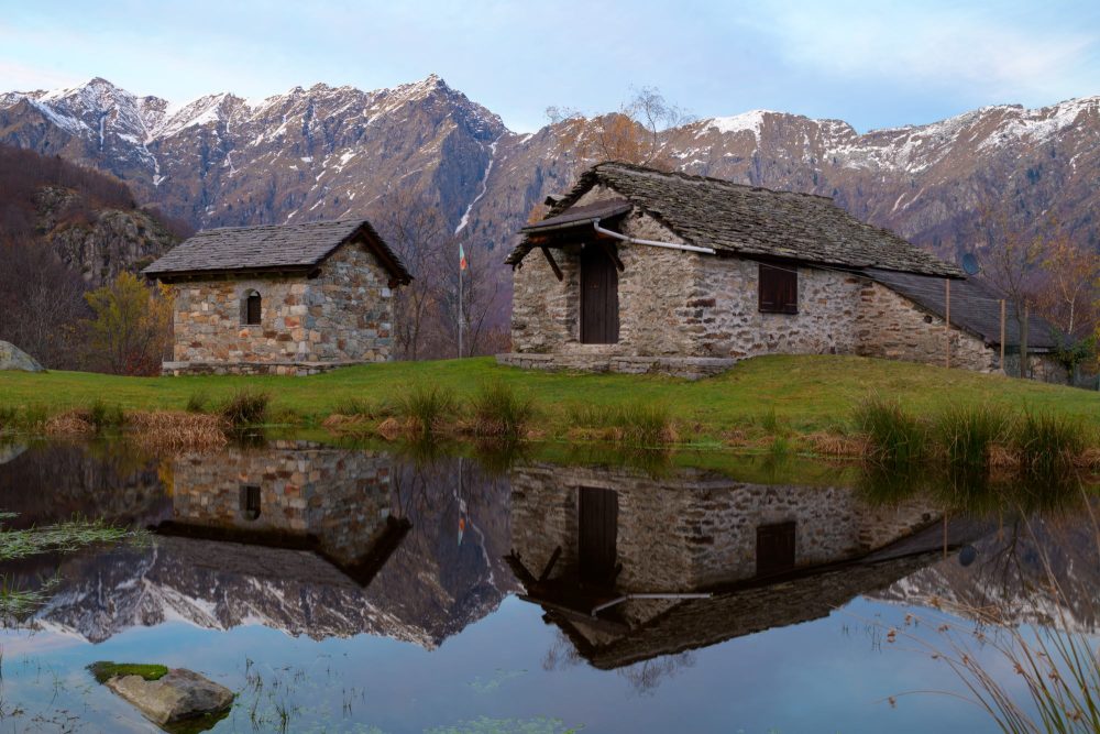
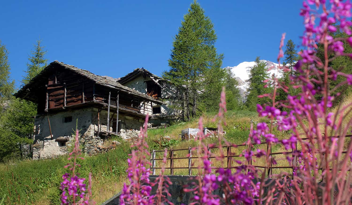
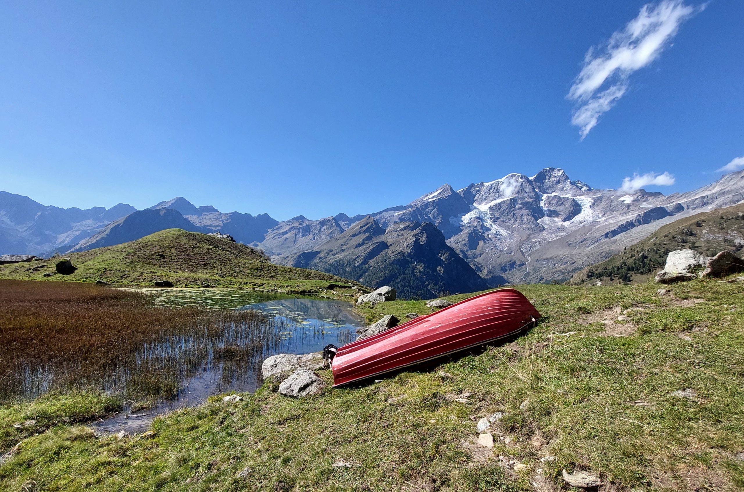
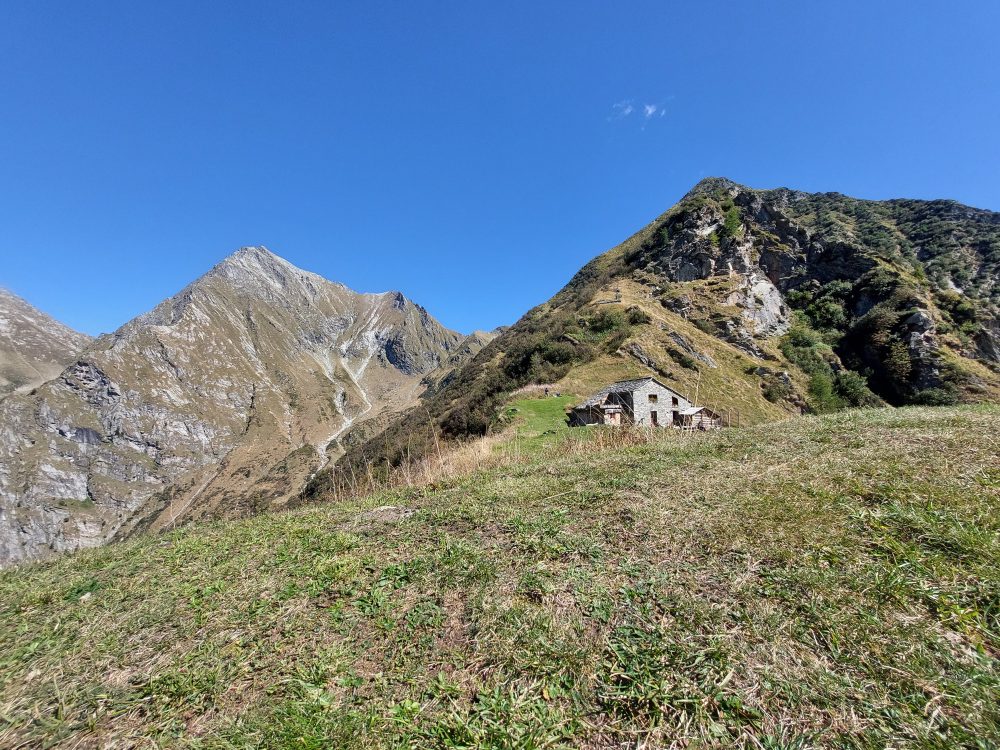
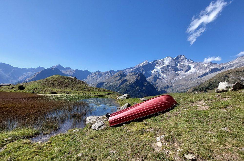
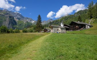
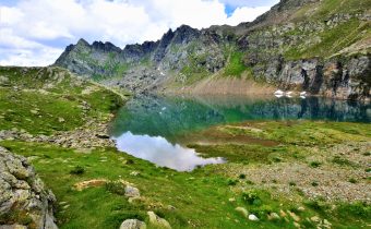
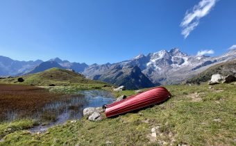
If, on the other hand, you continue from the stream on the left, you take the path that leads to Alpe Campo inferiore (Undre Kamp), 1846m. A few steps further on you will reach the Upper Campo Alp (Oubre Kamp), 1923m (1.30 – 2h). This alpine pasture is situated in the basin dominated on the left by Mount Tagliaferro and on the right by Cima Carnera. The view of Monte Rosa is breathtaking as it is reflected in the waters of the small Piono Wasser lake.
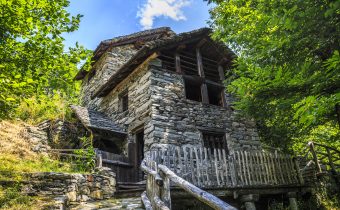
One of the cottages in this ancient alpine pasture houses the social hut of the Alagna CAI Subsection.
Beyond the stream is a small chapel dedicated to St. Hubert, whose door is the original one of the first Margherita Hut built in 1893 on Punta Gnifetti.
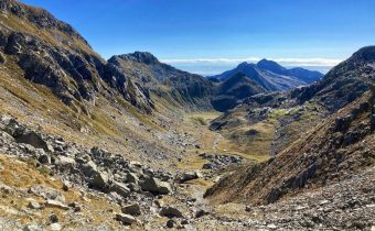
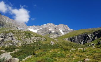
For those wishing to reach the Bocchetta della Moanda, the itinerary continues by crossing the plateau in the direction of the slope of the southwest ridge of Tagliaferro, passing on the right bank of the small lake and passing some rivulets. The trail thus resumes climbing in a steep zig-zag pattern. Bending to the right and walking the last sections among steep grassy pastures, you reach the Bocchetta della Moanda, 2422m (total 3h30).
On the opposite slope you can descend to Rima S. Giuseppe with itinerary 320. If you choose to ascend on the left and head north on trails partly equipped with ropes, you can climb Monte Tagliaferro, 2964m.
Other routes
recommended
Valsesia has a lot to offer to hiking enthusiasts
Suggestive trails surrounded by nature that offer breathtaking views: be surprised by the beautiful mountains of Valsesia!
how to get there
info and contacts
C.A.I. – Club Alpino Italiano di Varallo Sesia
ALAGNA, Fraz. Pedemonte – Colle Mud
Route / Trekking
Hikes
trail n. 208 Pedemonte – Colle Mud
This route has great importance as a traverse, but it is also the approach trail to what is the most classic of Valsesia’s mountaineering climbs, “The North Ridge of Mount Tagliaferro”
difficulty: medium
average duration: 2-3 hours
departure altitude: 1242 mt
arrival altitude: 2324 mt
altitude difference: 1802 mt
Route description
From the village of Alagna, follow the carriage road that runs alongside the Sesia River until you cross the bridge to the hamlet of Pedemonte on the right, where at the end of the paved road you will find a parking lot for cars.
Just beyond the parking lot, take path 209, which runs along the left bank of the Mud stream to the wooden bridge. Then cross over to the other bank and follow the staircase mule track. After passing a balm, you cross a small stream and then continue on a nice path that after about an hour’s walk reaches the cottages of Z’Ise hus (Iron House), 1627m. Now continue on the right side of the stream to pass by Alpe Mud di qua, 1887m, consisting of four huts that are just over a hundred meters from Alpe Mud di là located on the west side of the trail.
Keeping always on the mountainside, crossing three streams, we reach the cottages of Alpe Venghi, 2042m (2h). Past this alpine pasture, you enter the part of the valley dominated by Mount Tagliaferro.
The trail here passes between the ruins of two mountain huts and then climbs to reach the cottages of Alpe Superiore or Mud di Sopra 2264m, repurposed and turned into Rifugio Ferioli.
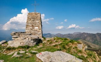
A short climb of moderate gradient leads to the Mud Pass, 2324m (total 2h30). The pass is symbolized by two cairns erected with stones: one is on the Alagna side, the other on the Rima side.
The pass can also be reached by following path 296 from the village of Rima, in Val Sermenza (find out the route).
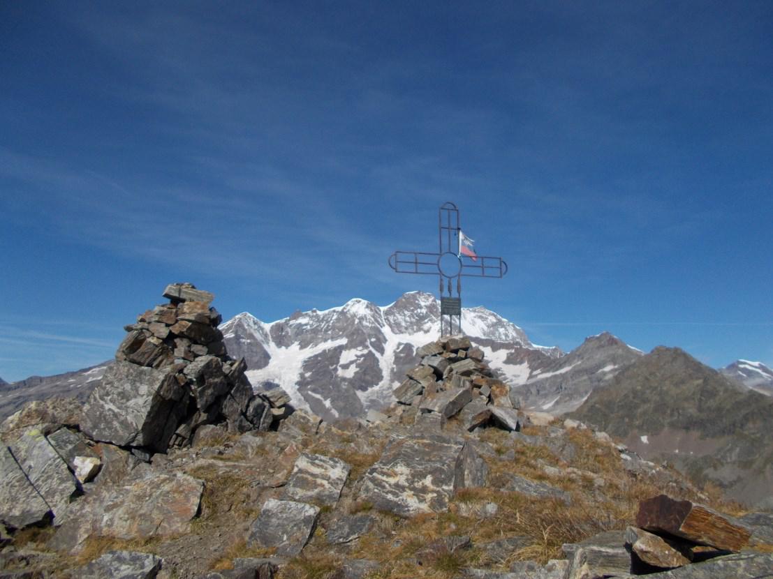
Those who want to try to climb up to the extreme tip of the trail, i.e., the Corno Mud, can try to follow the unmarked (and not on the GPX track) trail for experienced hikers that starts right from the Colle Mud. The fairly steep trail consists of several switchbacks to the summit, marked only by a few stone cairns along the way. In about an hour and a half you reach the summit, symbolized by a metal cross placed on top of the Corno: behind it you have a direct and surreal view of Monte Rosa.
how to get there
info and contacts
C.A.I. – Club Alpino Italiano di Varallo Sesia
Other routes
recommended
Valsesia has a lot to offer to hiking enthusiasts
Suggestive trails surrounded by nature that offer breathtaking views: be surprised by the beautiful mountains of Valsesia!
ALAGNA – Val d’Otro
Route / Trekking
Hikes
trail n. 203 val d’otro
Difficulty: medium – easy
average duration: 1 – 2 hours
departure altitude: 1191 mt
arrival altitude: 1664 mt
altitude difference: 510 mt
Route description
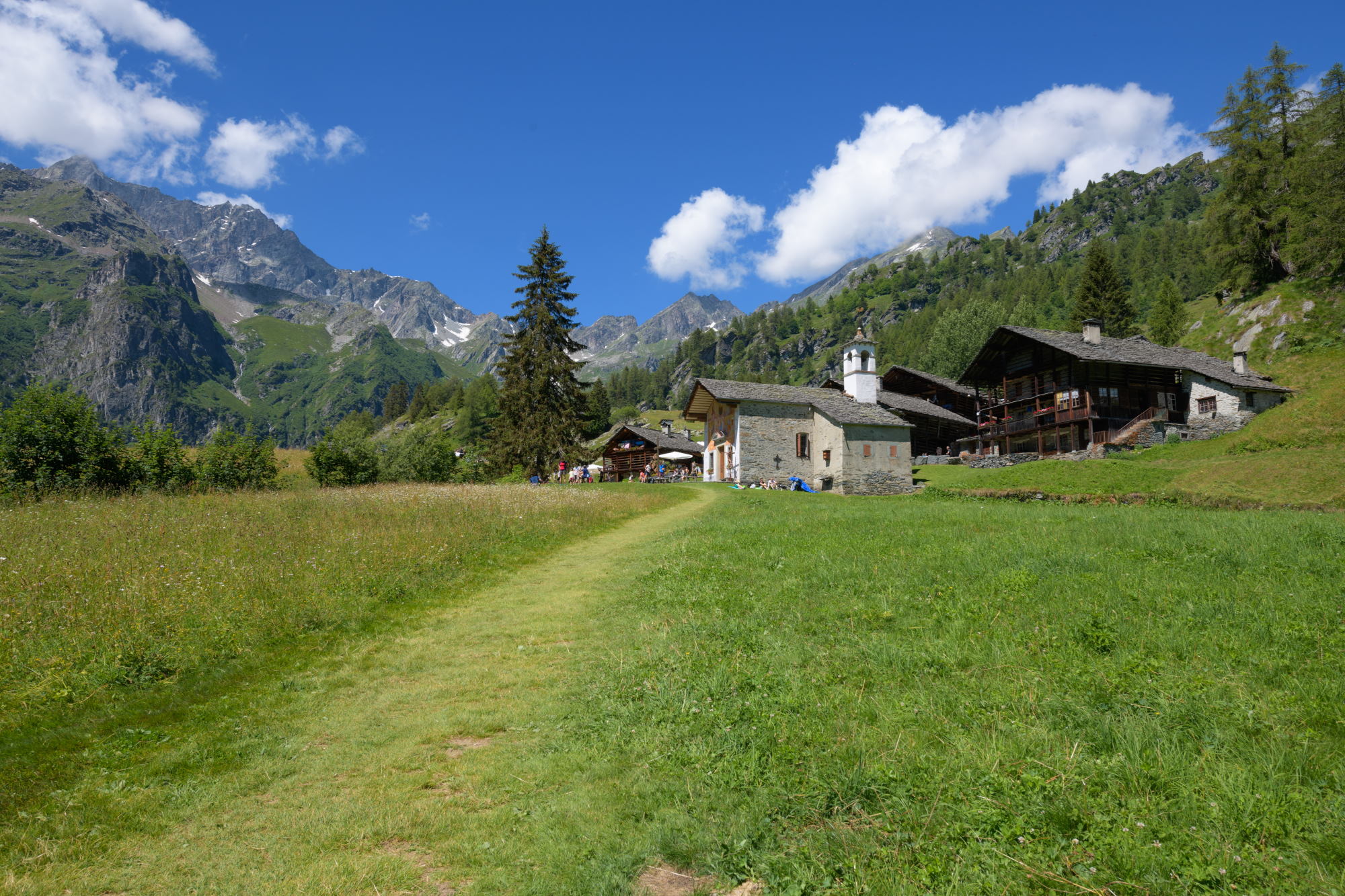
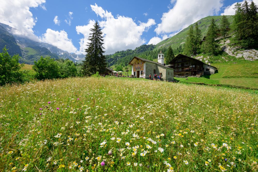
This trail is one of the classic and most beloved hiking trails in Valsesia. Reach the alpine landscape of Otro, of great cultural and naturalistic value, and enjoy the scenic beauty that this beautiful Valley can offer!
The route starts from the center of Alagna, at the Alagna Union. From here, continue to the left on the paved path that leads to the hamlet of Riale Superiore and, having crossed the carriage road, the trail begins: the Olterstiga, or Otro climb. Shortly after passing the Stiga cottage and leaving the path down to the Otro Boiler (Olter Chessi) on the left, you come to a characteristic fountain (located at the fork with path 203a to Dsender and Tailly Lakes).
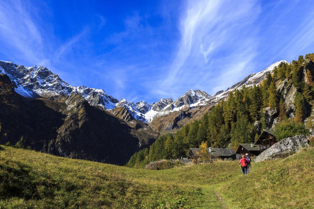
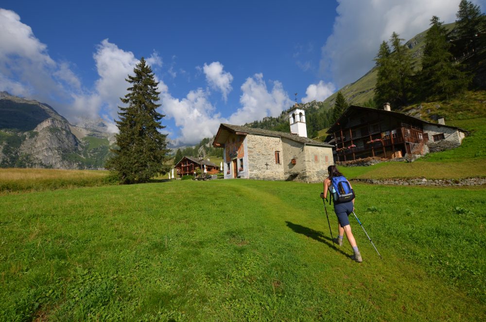
Ascend to the right, pass a chapel and with numerous zig zags arrive at the beautiful Conca di Otro, in front of the beautiful little church of Follu, 1664m (total about 1h30).
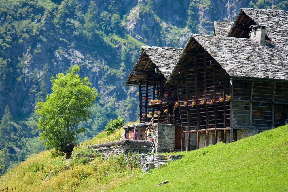
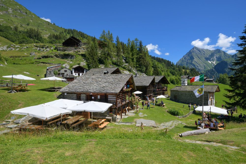
This is the first of the characteristic villages on the Otro plateau. Short paths branch off the mule track linking the villages of Follu, Felleretsch, Ciucche, Dorf, Scarpia and Weng. The Zar Senni hut, immediately after the chapel, offers hospitality in the summer season and during many weekends.Continuing through the villages and pastures, you can reach Alpe Pianmisura.
Other routes
recommended
Valsesia has a lot to offer to hiking enthusiasts
Suggestive trails surrounded by nature that offer breathtaking views: be surprised by the beautiful mountains of Valsesia!
how to get there
info and contacts
C.A.I. – Club Alpino Italiano di Varallo Sesia
ALAGNA – Alpe Vigne Superiore, Rif. Barba Ferrero
Route / Trekking
Hikes
trail n. 207 Alagna – Alpe Vigne Superiore, Rif. Barba Ferrero
Difficulty: medium
average duration: 2 – 3 hours
starting elevation:
wold parking 1278 mt
arrival altitude: 2247 mt
altitude difference: 969 mt
Route description
To reach the beginning of the itinerary, follow the road from the village of Alagna to the square at Wold, 1278m, where you can park your car. (In the summer months you can use the Wold – Acqua Bianca shuttle service for a fee).
Those who proceed on foot, either by choice or during the periods when there is no shuttle service, follow the paved road not open to traffic and, a little further on, can choose between two options: take the path on the left bank of the Sesia, No. 206 which arrives behind the Pastore Refuge in about 1h and connects to Alpe Pile by crossing the small wooden bridge just beyond the refuge on the right and going up the path, or continue always on the paved road until you reach the Acqua Bianca Waterfall in about 45min (arrival of the summer shuttle), from where first a mule track and then a steep staircase starts, reaching Alpe Pile (above the Pastore Refuge).
From here you head to Alpe Fum Bitz (1606m, which hosts the Park House and Botanical Garden) and pass it, following trail 207. The trail continues up and down, then picks up on uneasy ground, crosses over small bridges the Flua Grobe and the Rio Vigne, near which the traditional “Flower Rosary Procession” starts.
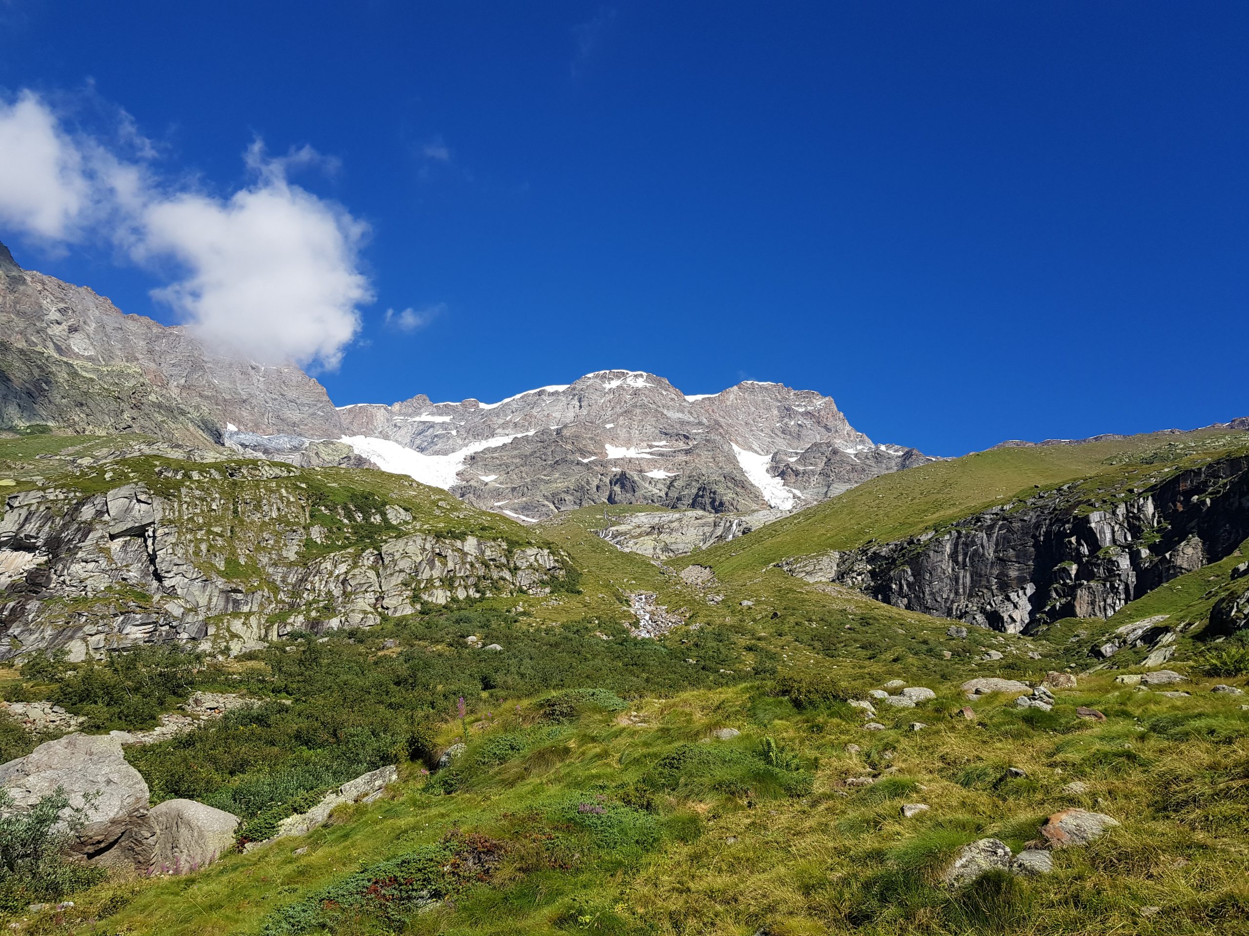
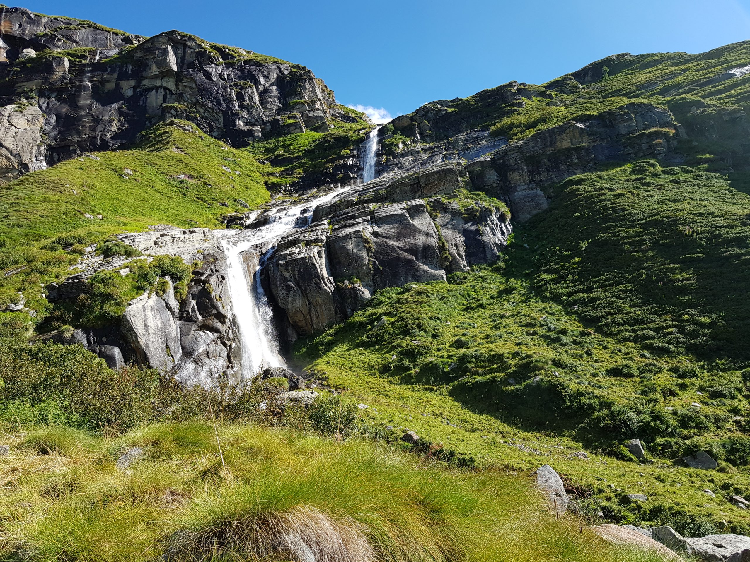
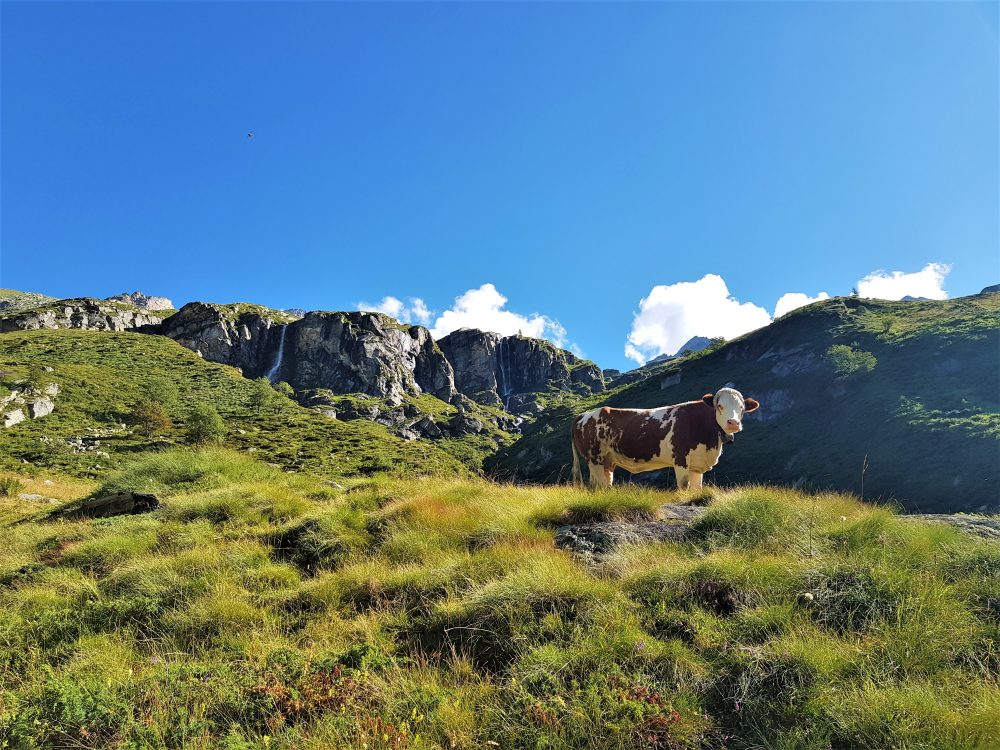
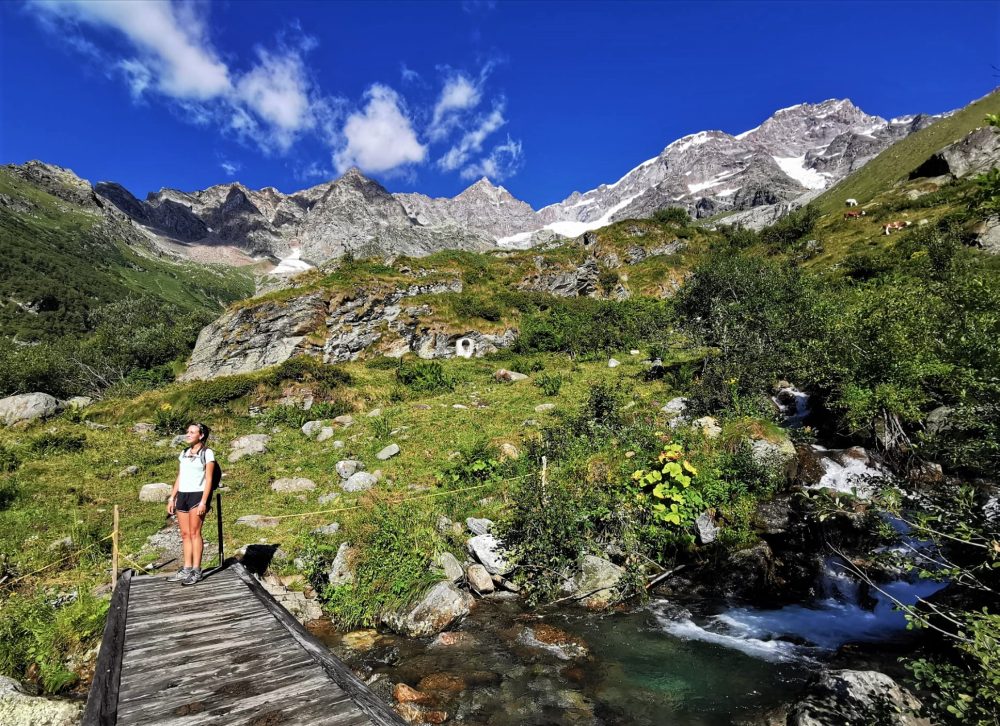
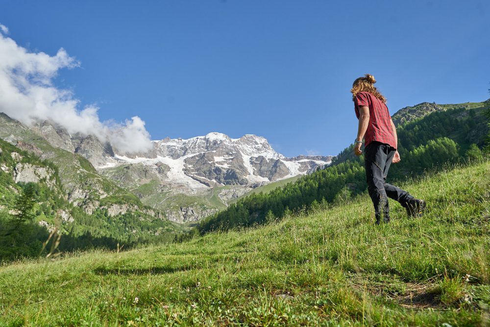
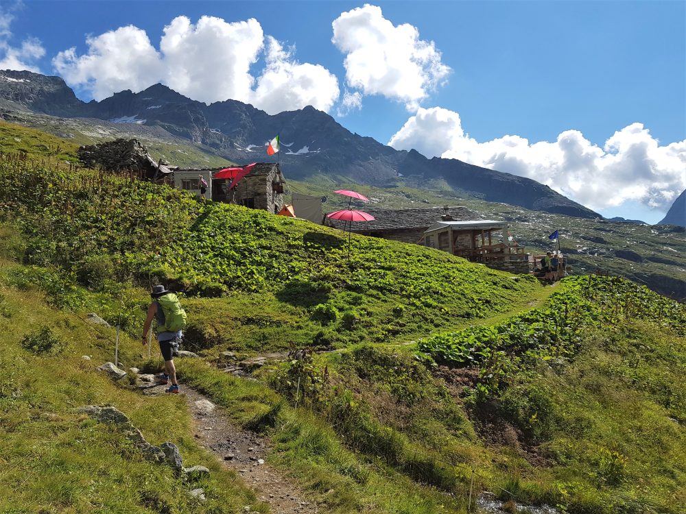
Passing near the waterfall of the last stream, it continues in hairpin bends on the moraine, bypasses a rocky drop and climbs gently eastward towards Alpe Vigne Superiore, 2247m, where the Barba Ferrero Refuge is located, the arrival point of the hiking section (total 2 -3 hours), which can also be reached with itineraries 207d and 207e, coming from the Turlo way.
Other routes
recommended
Valsesia has a lot to offer to hiking enthusiasts
Suggestive trails surrounded by nature that offer breathtaking views: be surprised by the beautiful mountains of Valsesia!
how to get there
info and contacts
C.A.I. – Club Alpino Italiano di Varallo Sesia
ALAGNA – Colle del Turlo
Route / Trekking
Hikes
trail n. 207a alagna, piazzale dell’Acqua Bianca – Colle del Turlo
difficulty: medium
average duration: 3-4 hours
departure altitude: 1495 mt
arrival altitude: 2738 mt
altitude difference: 1243 mt
Route description
To reach the beginning of the itinerary, you need to follow the road from the village of Alagna to the Wold square, 1278m, where you can park your car. You start walking on the paved road precluded to traffic, until you reach in about an hour the square of the Acqua Bianca Waterfall, 1495m (in this section in the summer months you can use the shuttle service Wold – Acqua Bianca for a fee).).
The itinerary starts a few tens of meters after the Acqua Bianca square, continuing to follow route 207 (which leads from Alagna to the Barba Ferrero hut at Alpe Vigne).
At the first turnoff you can admire the Brunnenwasser Waterfall, and continue to climb to an elevation of about 1650m where several trails cross, including on the left path 207f that descends to Alpe Fum Bitz, the Park House, and the Alpe Pile Shepherd Hut, 1575m.
To begin the Turlo road, trail 207a crosses the Testanera Brook and passes through a larch grove, then first touching on Alpe Im Mittlentheil di là, 1928m, and then passing upstream to Alpe in d’Ekku and Alpe Faller.
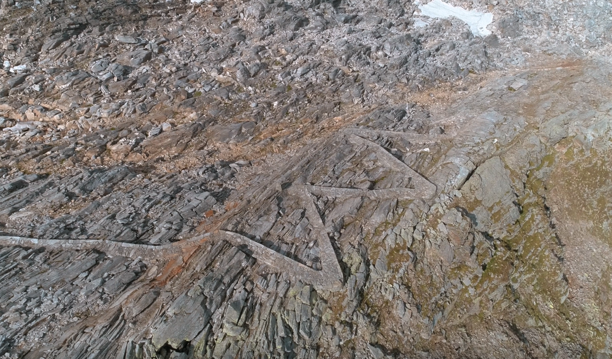
Continue on the old mule track, passing just short of Alpe Grafenboden and the Turlo lakes, and finally, crossing the old road in several places, reach Turlo Pass, 2738m (in about 3 hours from the Acqua Bianca waterfall).
The path up to the Turlo Pass was in the past a particularly important place of passage, both for trade and for migratory flows: in the 14th century the Walser settlers from Macugnaga passed through here, and they founded the first settlements on the territory of Alagna. It is in fact a historic military road transformed into a mule track in the 1930s by the Alpini.
Other routes
recommended
Valsesia has a lot to offer to hiking enthusiasts
Suggestive trails surrounded by nature that offer breathtaking views: be surprised by the beautiful mountains of Valsesia!
how to get there
info and contacts
C.A.I. – Club Alpino Italiano di Varallo Sesia
ALAGNA – Alpe Pianmisura – Passo Zube
Route / Trekking
Hikes
trail n. 203b Alpe Pianmisura – Passo Zube
difficulty: medium
average duration: 2-3 hours
starting altitude:
alpe pianmisura 1835 mt
arrival altitude: 2872 mt
altitude difference: 1037 mt
Route description
Alpe Pianmisura Piccola can be reached from Alagna, 1191m, by the Vallone d’Otro following trail 203 in an hour and a half, with an elevation gain of 644m.
From the alpine pasture of Pianmisura Piccola, 1835m, keep to the right to follow the Rio Foric, leaving just above, opposite, Pianmisura Grande, 1848m.
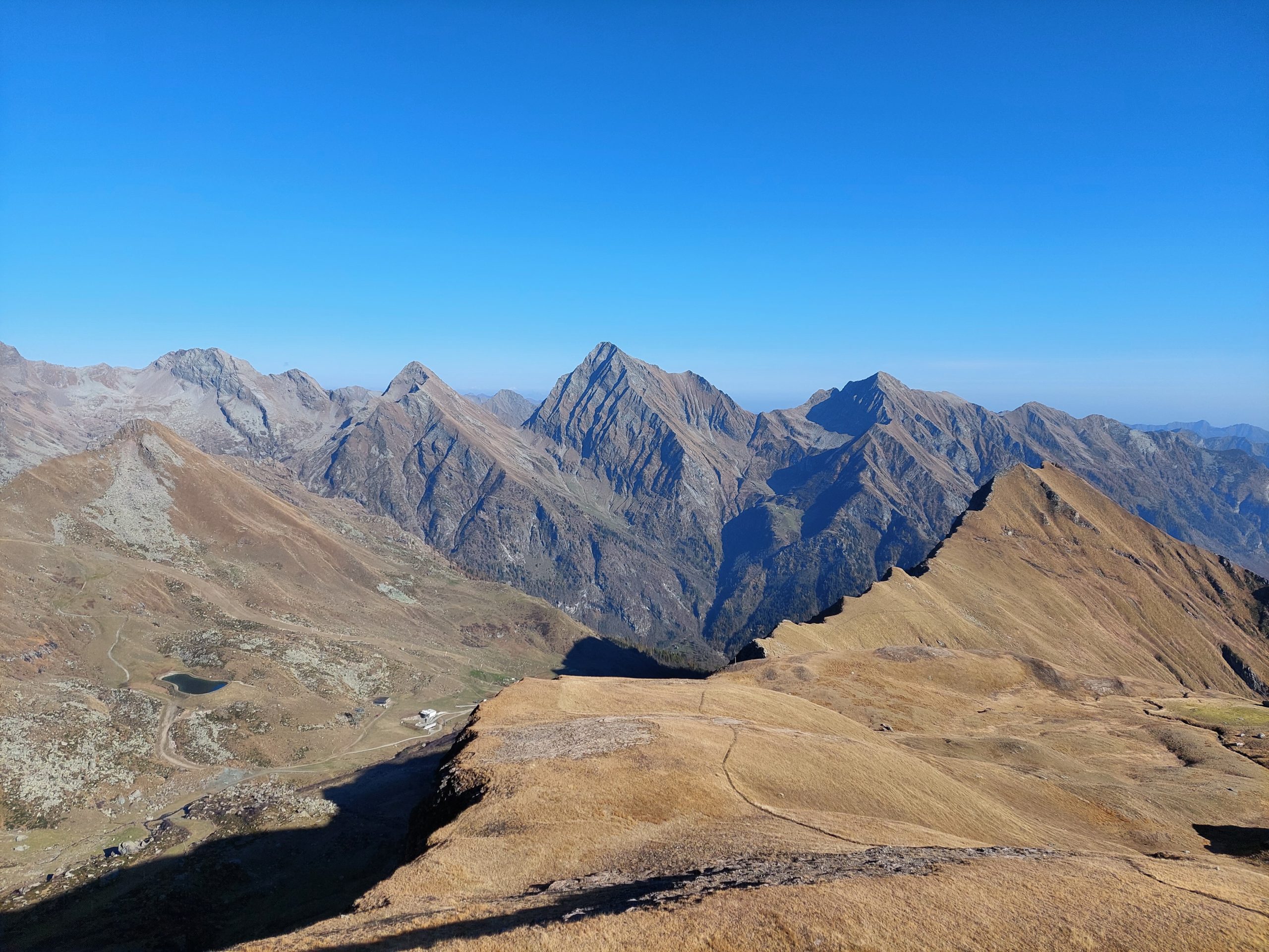
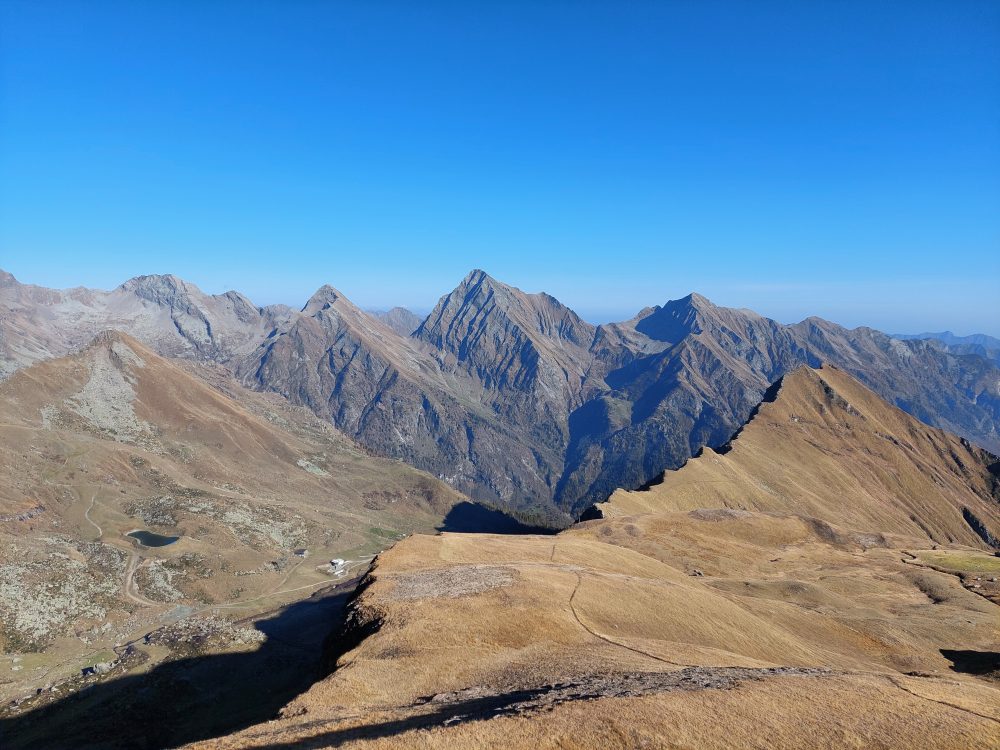
It climbs by taking a few hairpin bends on the path, steep in places, that runs northward through the valley. At the top, a series of more comfortable slopes lead to Foric Pass, 2432m (in about 2 hours), a panoramic point directly overlooking Monte Rosa and the Vallone d’Olen (reached by trail 205b).
From the pass continue on trail 203b on the left, and leave Alpe Zube, 2515m, behind at a short distance. Climb a steep grassy hump and go around a second rocky drop to the left, then rise over the vast meadows of the slope.
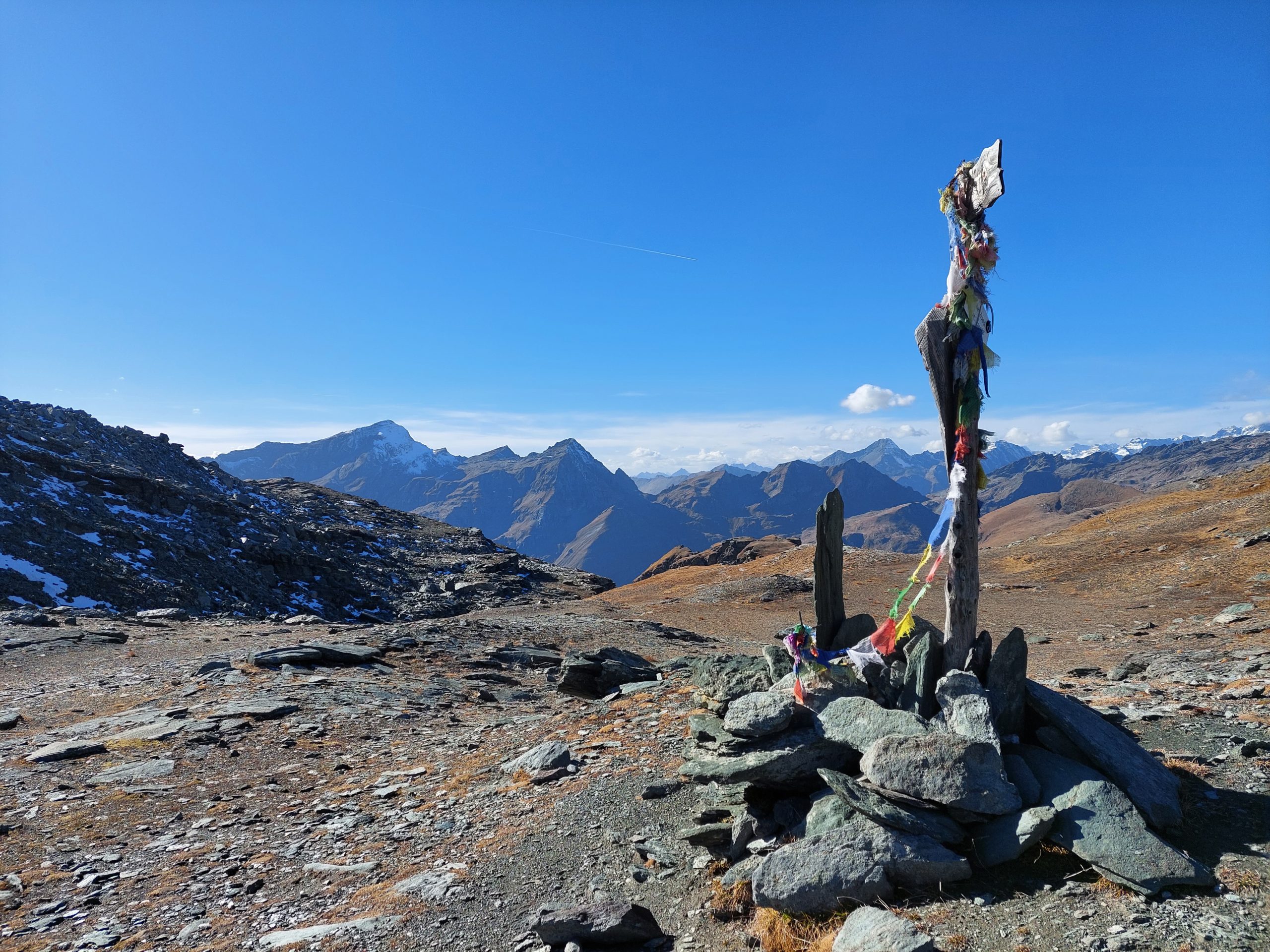
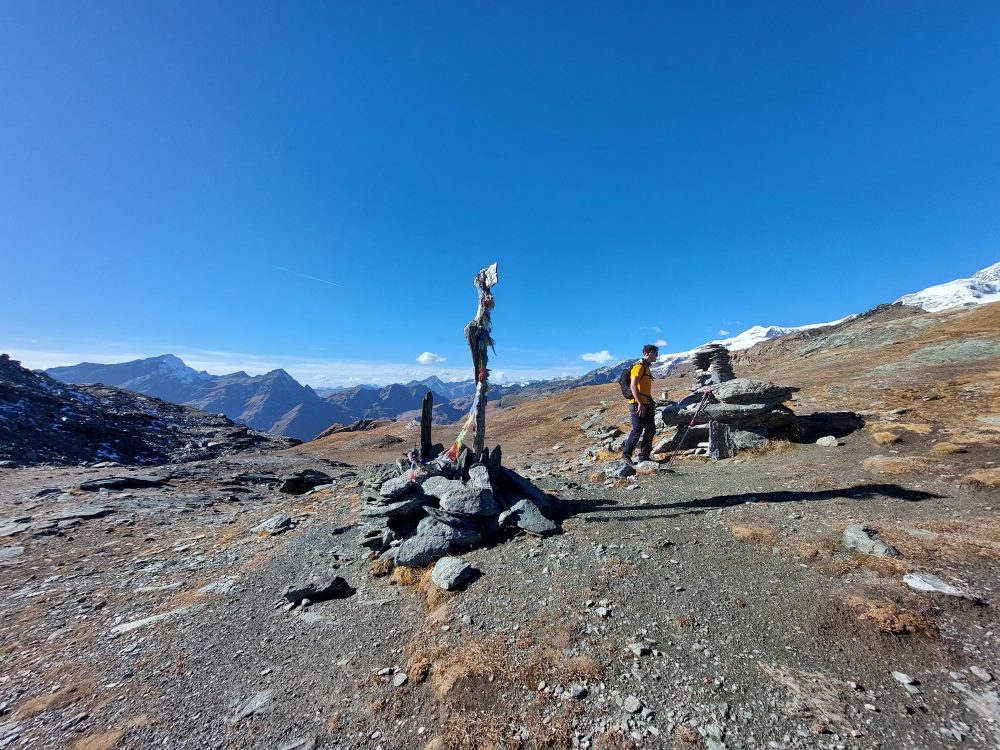
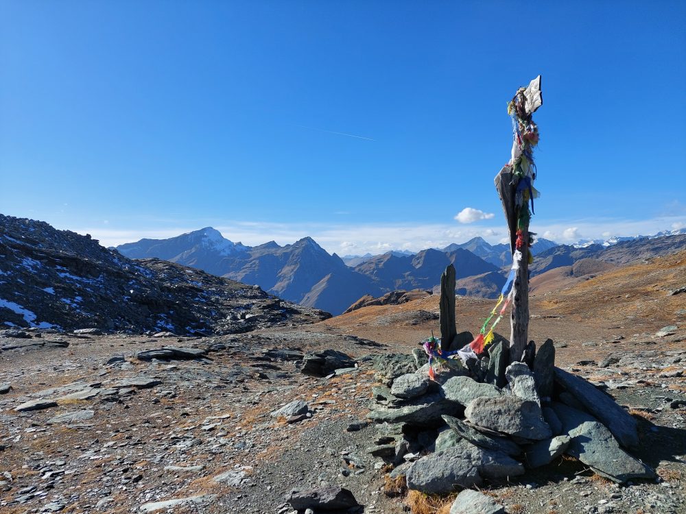
Aim for the pass and enter the gully, which gradually becomes scree, until you reach Zube Pass, 2872m (total about 3h30).
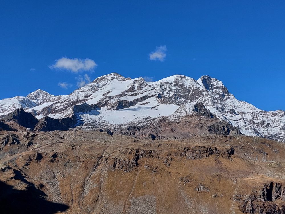
The pass, high over the basin of the homonymous name, leads into the Lys Valley and joins the path from Gressoney up to Col d’Olen, bypassing Corno Rosso,3023m (reachable in about 30/45 minutes, EE – for experienced hikers).
Other routes
recommended
Valsesia has a lot to offer to hiking enthusiasts
Suggestive trails surrounded by nature that offer breathtaking views: be surprised by the beautiful mountains of Valsesia!
how to get there
info and contacts
C.A.I. – Club Alpino Italiano di Varallo Sesia
ALAGNA – Laghi Tailly
Route / Trekking
Hikes
trail n. 203a Alagna – Laghi Tailly
difficulty: medium
average duration: 2-3 hours
departure altitude: 1191 mt
arrival altitude: 2428 mt
altitude difference: 1237 mt
Route description
The route begins in the center of Alagna, at the Alagna Union. From here, continue left on the paved path that leads to the hamlet of Riale Superiore and, having crossed the carriage road, the trail begins: the Olterstiga, that is, the ascent of Otro. Shortly after passing the Stiga cottage and leaving the path down to the Caldaia di Otro (Olter Chessi) on the left, you will reach a characteristic fountain at an altitude of 1420m in about 30min.
At this point you follow the path that continues to the left, leaving the path 203 that climbs into Val d’Otro, along the comfortable and shady mule track goes flat into the valley. You cross the Otro stream on a wooden bridge and slightly uphill through the woods you reach a grassy clearing. Crossing the Rio Taill, you arrive at the pasture of Alpe Dsender (Undre Dsender), 1625m.
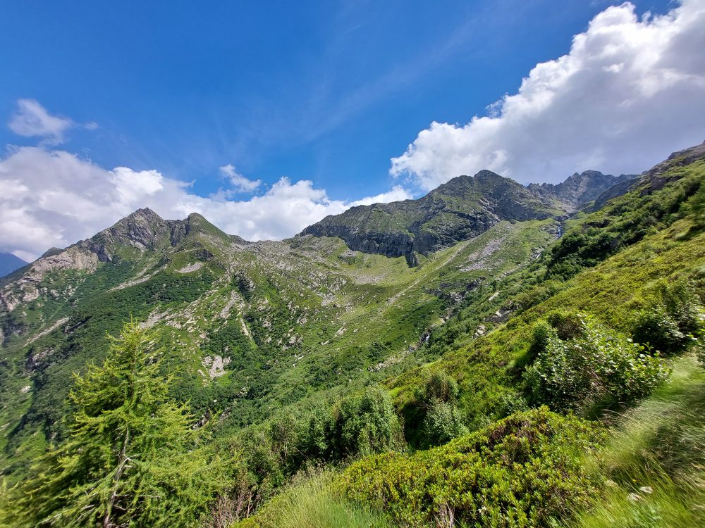
The trail turns left and steeply uphill, reaching the plateau of Pian dell’Asino, 1829m. The trail continues steeply again and then reaches Alpe Tailly, 2065m.
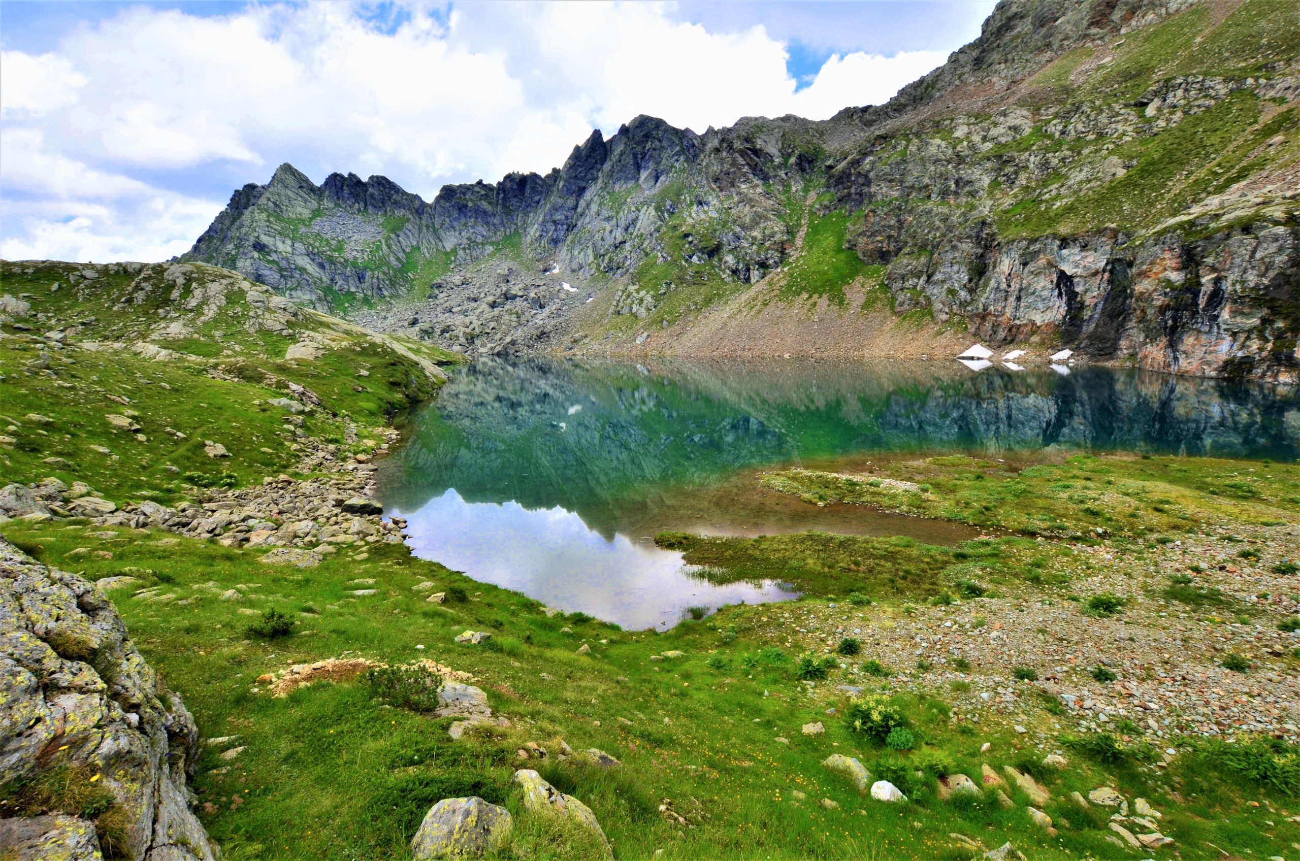
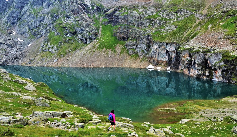
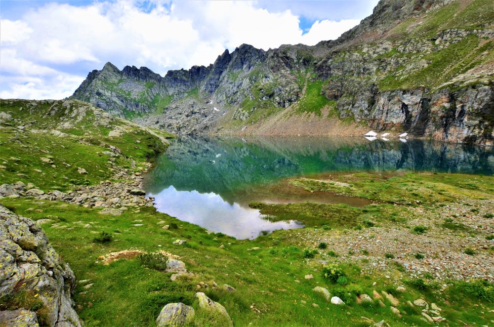
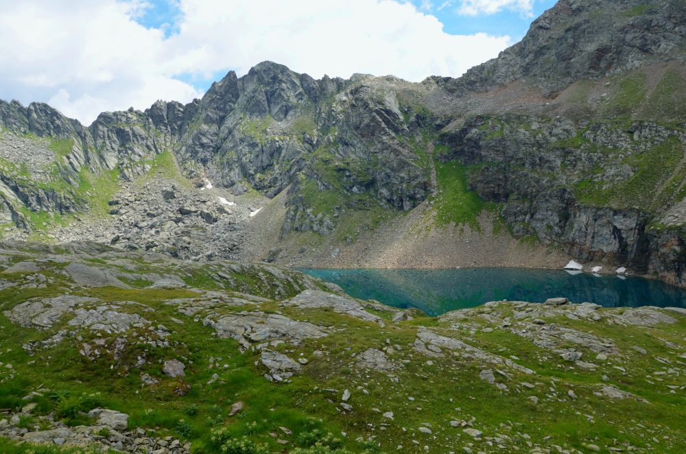
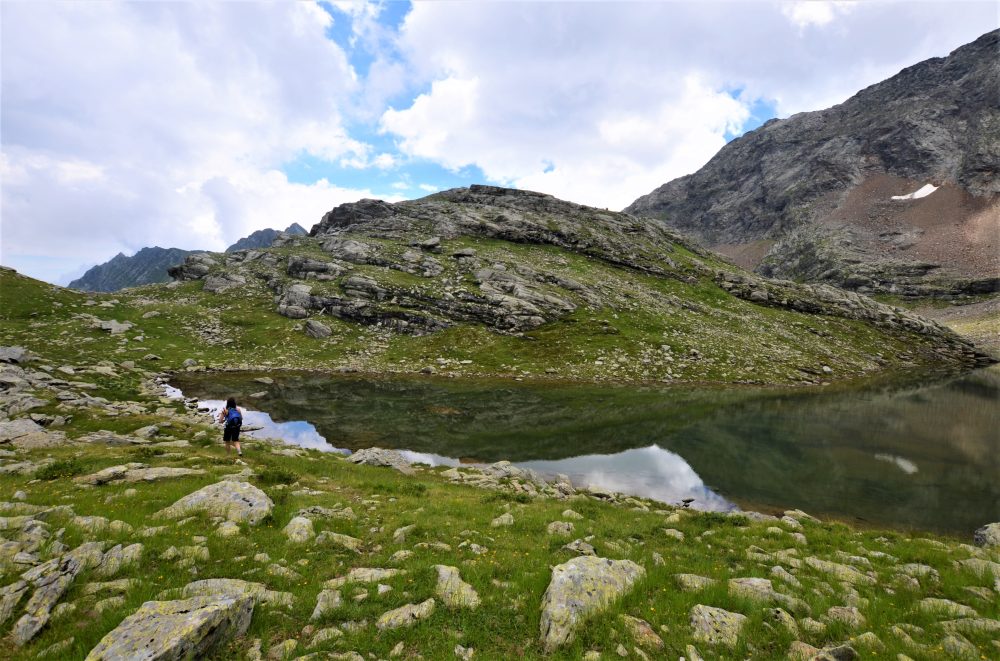
Continue behind the alpine pasture and follow a long diagonal between rocks and short grassy shelves until you arrive on the side of a hump that closes the basin of the lakes, at the bottom of which is the picturesque Lower Tailly Lake, 2382m.
Rounding the hump on the right, you reach Upper Tailly Lake, 2428m (total about 2h30), which is smaller and shallower
The Tailly Lakes can also be reached by taking the Alta Via Tullio Vidoni (AVTV), a route for experienced hikers: to the right the Alta Via heads to Bivacco Ravelli, 2503m (route 203e).
Other routes
recommended
Valsesia has a lot to offer to hiking enthusiasts
Suggestive trails surrounded by nature that offer breathtaking views: be surprised by the beautiful mountains of Valsesia!
how to get there
info and contacts
C.A.I. – Club Alpino Italiano di Varallo Sesia
RIVA VALDOBBIA, Fraz. Ca’ di Janzo – Cima Mutta
Route / Trekking
Hikes
trail n. 210 Ca’ di Janzo – Cima Mutta
difficulty: medium
average duration: 1-2 hours
departure altitude: 1354 mt
arrival altitude: 2135 mt
altitude difference: 781 mt
Route description
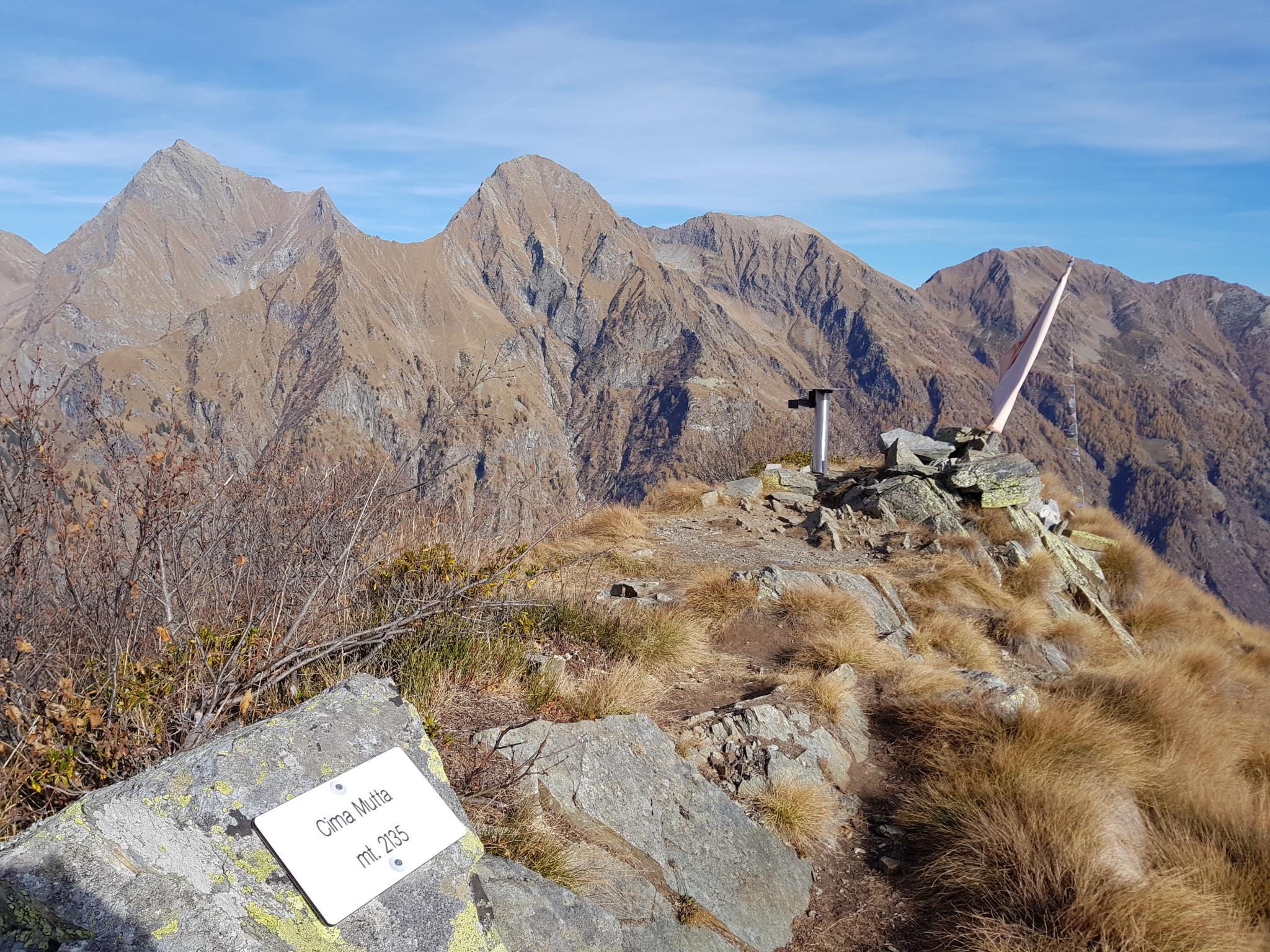
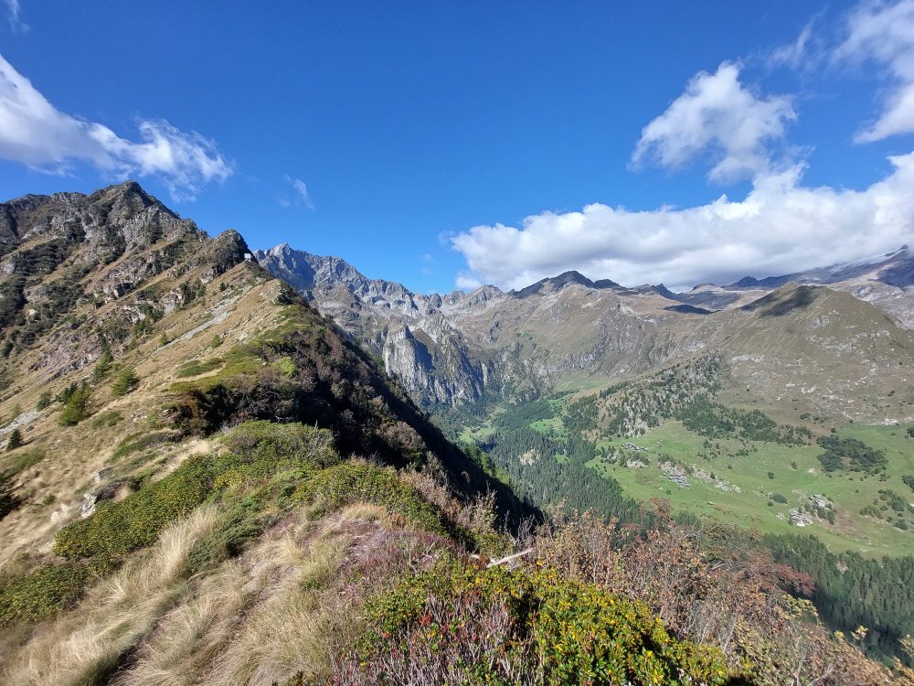
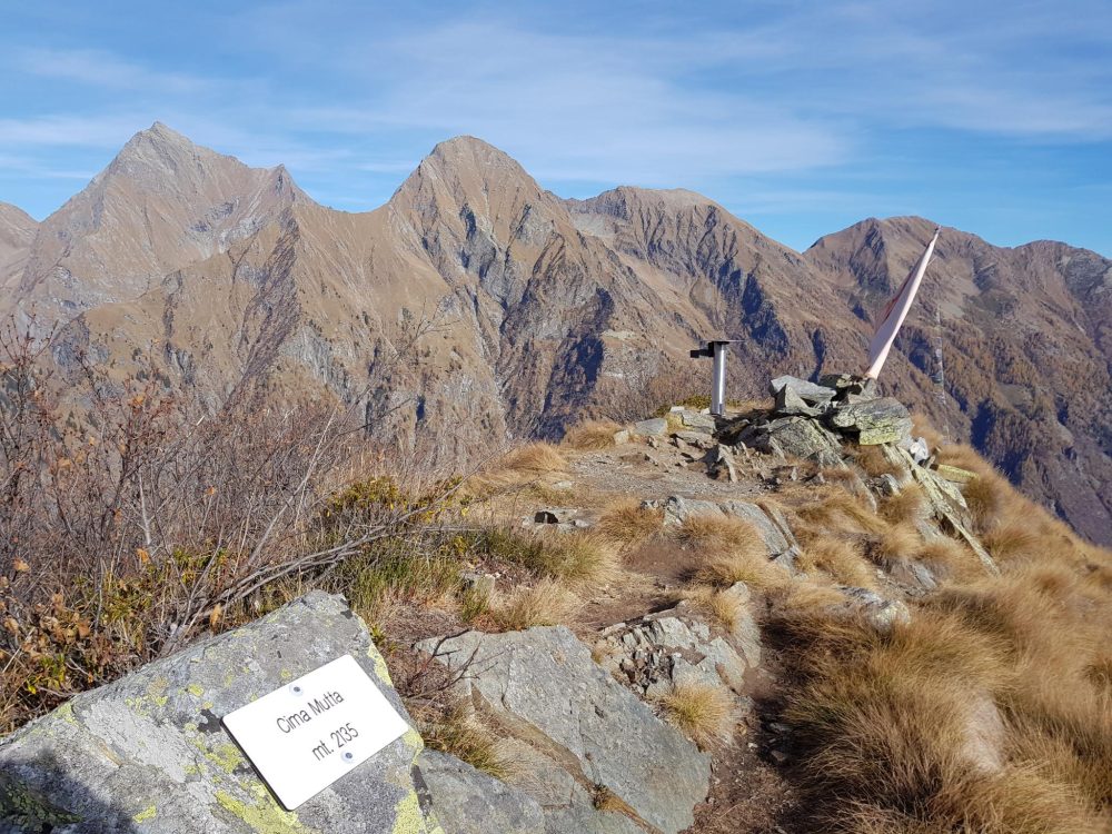
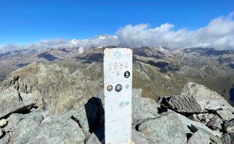
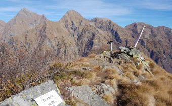
This trail leads to the first peak of the ridge that divides Val Vogna and Val d’Otro. The view from the peak is scenic and interesting: it directly overlooks Monte Rosa , the village of Alagna and the beautiful Val d’Otro.
From Riva Valdobbia follow the Val Vogna road to the square of the hamlet Cà di Janzo, 1354m (where you can park your car).
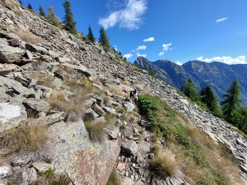
Here take trail No. 210, which climbs to the right flanking a stream, then zigzagging up through the woods until you reach the cottages of Selveglio, 1550m: this section is part of the Val Vogna Art Trail.
It then climbs to Alpe Poesi, 1715m, and Alpe Piane, 1832m (in about 1h/1h30).
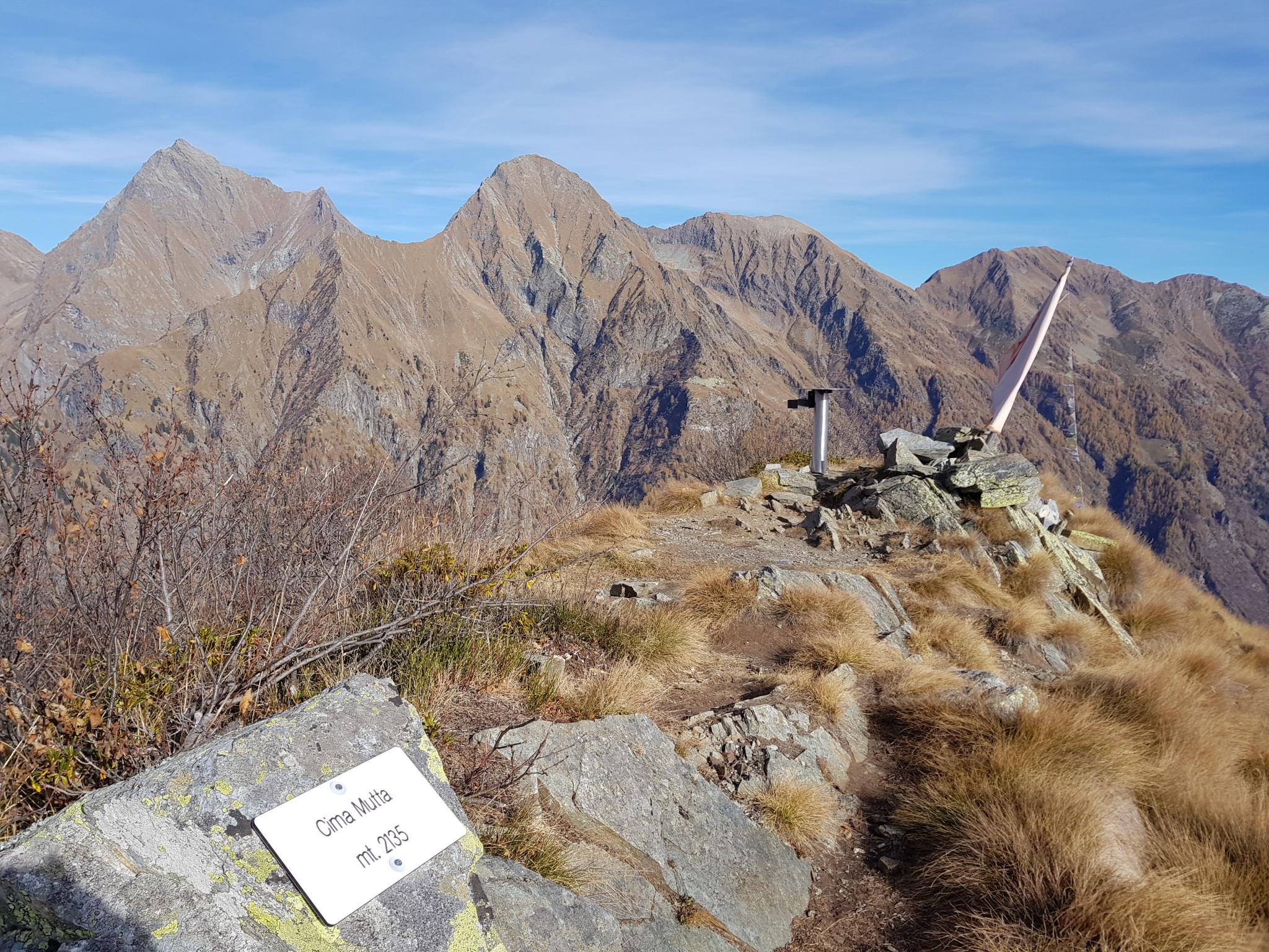
From this alpine pasture, the trail turns right, crossing the valley that gains the summit of Cima Mutta, 2135m (in total about 2 hours), from which there is a splendid view of the Otro basin, Alagna and Monte Rosa that dominates the horizon.
Other routes
recommended
Valsesia has a lot to offer to hiking enthusiasts
Suggestive trails surrounded by nature that offer breathtaking views: be surprised by the beautiful mountains of Valsesia!
how to get there
info and contacts
C.A.I. – Club Alpino Italiano di Varallo Sesia
RIVA VALDOBBIA, Fraz. Sant’Antonio – Alpe Maccagno
Route / Trekking
Hikes
trail n. 205 S. Antonio – Alpe Maccagno
difficulty: medium
average duration: 3 hours
departure altitude: 1380 mt
arrival altitude: 2188 mt
altitude difference: 808 mt
Route description
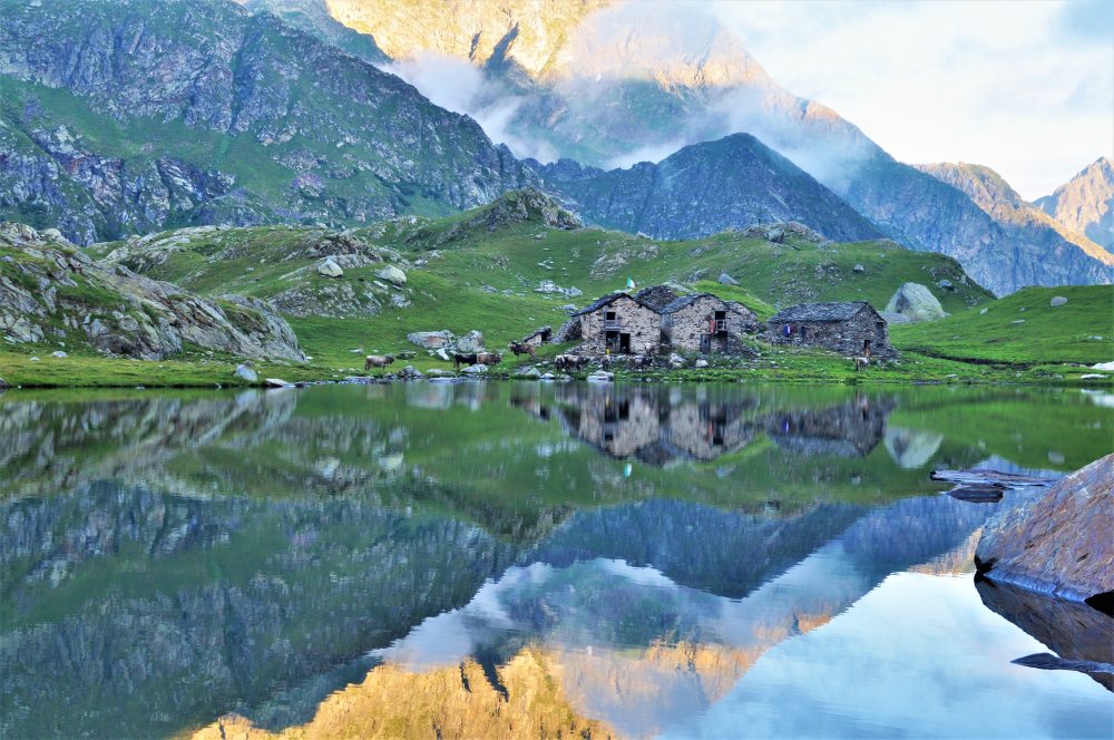
Alpe Maccagno, renowned for its historic alpine pasture, lies on a grassy plain in a wide and bright basin. The cheese produced in this pasture, Toma Maccagno, is considered special and unique, and for this reason mentioned in almost every alpine and tourist guidebook in the area since the 19th century.
To reach the starting point of this itinerary, from the village of Riva Valdobbia you follow the paved carriage road to the hamlet of Ca’ di Janzo, continuing then always on the road (partially subjected to transit restrictions, during the summer season) to the hamlet of Sant’Antonio, where you can park your car (arrival point of the Ca di Janzo – Sant’Antonio summer shuttle).
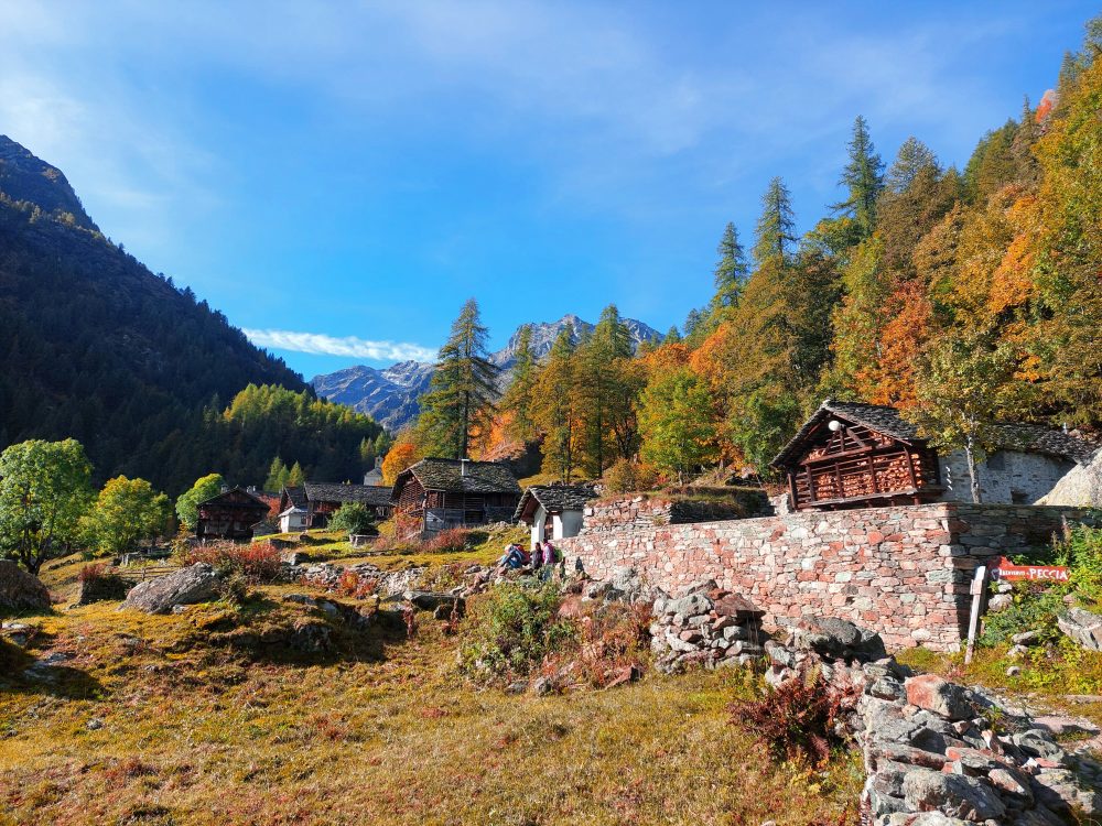
Starting on foot on the unpaved road past the houses and small church of the hamlet, follow the old path to Aosta with the 201 marker. At the end of the dirt road you reach the hamlet of Peccia, with its characteristic Walser houses and beautiful small lake. Continuing on the path to the right that passes between the small houses, just past the small church of the Oratory of San Grato, you pass the old Napoleonic-era bridge (reachable in about an hour from Sant’Antonio). Immediately afterwards, leaving the mule track to the right that leads to Alpe Larecchio and Colle Valdobbia, our itinerary begins.
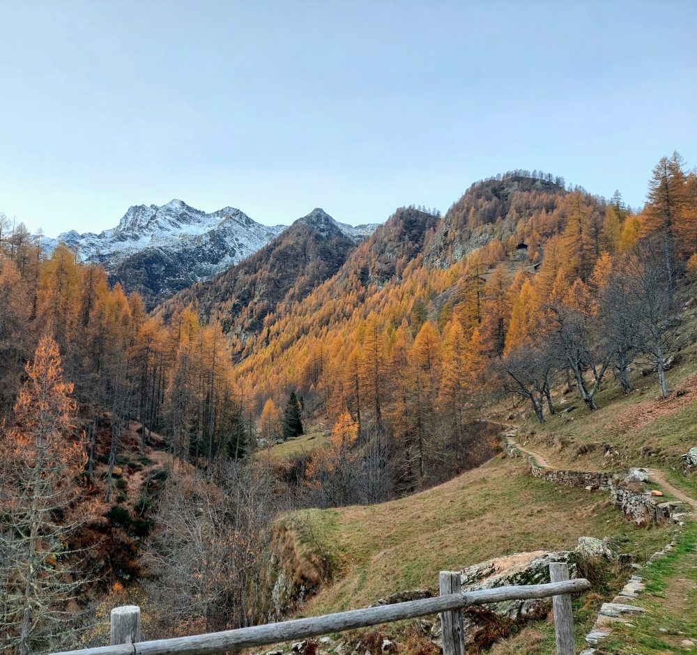
After the Napoleonic bridge we turn left and cross the Maccagno stream on the wooden bridge. The mule track flanks the stream almost level for a good stretch, while it climbs with a high-stepping ramp, crossing the Rio Tillio and arriving at Alpe Buzzo Inferiore, 1698m (here we leave out itinerary 206 on the left, which leads to the Alpe and Lake Tillio, 2207m).
Go straight on past the Alpe Buzzo Superiore casera, 1718m, and reach Alpe Pioda di Sotto, 1830m, and Alpe Pioda di Sopra, 1877m (from where with route 205a you can climb to the Alpe, Lake and Bocchetta del Cortese, 2562m). Past the alpine pasture, cross the bridge and continue along the ascent that leads to the plateau of Alpe Camino, 2031m.
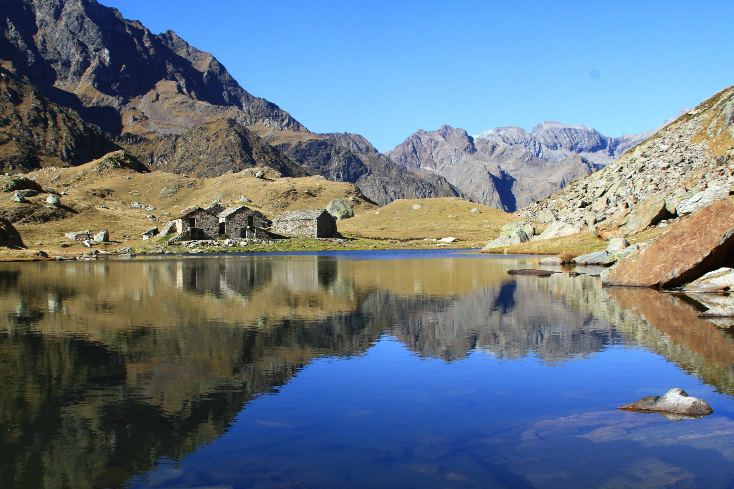
Continuing for a stretch uphill and then almost flat, you reach Alpe Maccagno, 2188m (in about 3 hours total). From here you can enjoy the view that this picturesque alpine pasture, which is mirrored in a small lake, is able to give!
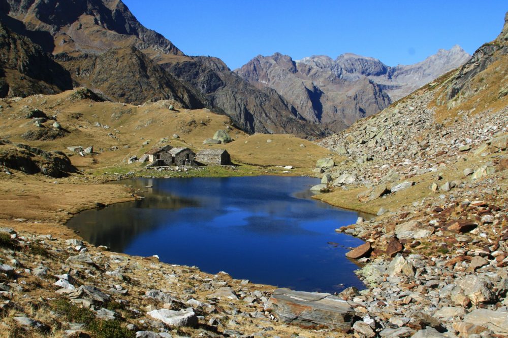
Wanting to continue further and climb further, one can enter the small valley, passing some ponds, to reach Black Lake, 2322m (about 3h30). A final climb leads to the Maccagno Pass, 2493m (about 4h).
From the Pass, the trail descends to the Piani di Loo from where you can reach the hamlets of Loomatto and Champsil, in the Lys Valley (Gressoney) with itinerary 12b. From the Piani you can also climb left to the Loo Pass, from where you can descend through the Sorba Valley to Rassa along Trail 251.
Other routes
recommended
Valsesia has a lot to offer to hiking enthusiasts
Suggestive trails surrounded by nature that offer breathtaking views: be surprised by the beautiful mountains of Valsesia!
how to get there
info and contacts
C.A.I. – Club Alpino Italiano di Varallo Sesia
RIVA VALDOBBIA, Fraz. Sant’Antonio – Alpe Larecchio
Route / Trekking
Hikes
trail n. 201a Peccia – Alpe Larecchio
Difficulty: medium – easy
average duration: 2 hours
departure altitude: 1380 mt
arrival altitude: 1895 mt
altitude difference: 515 mt
Route description
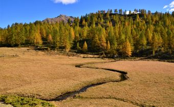
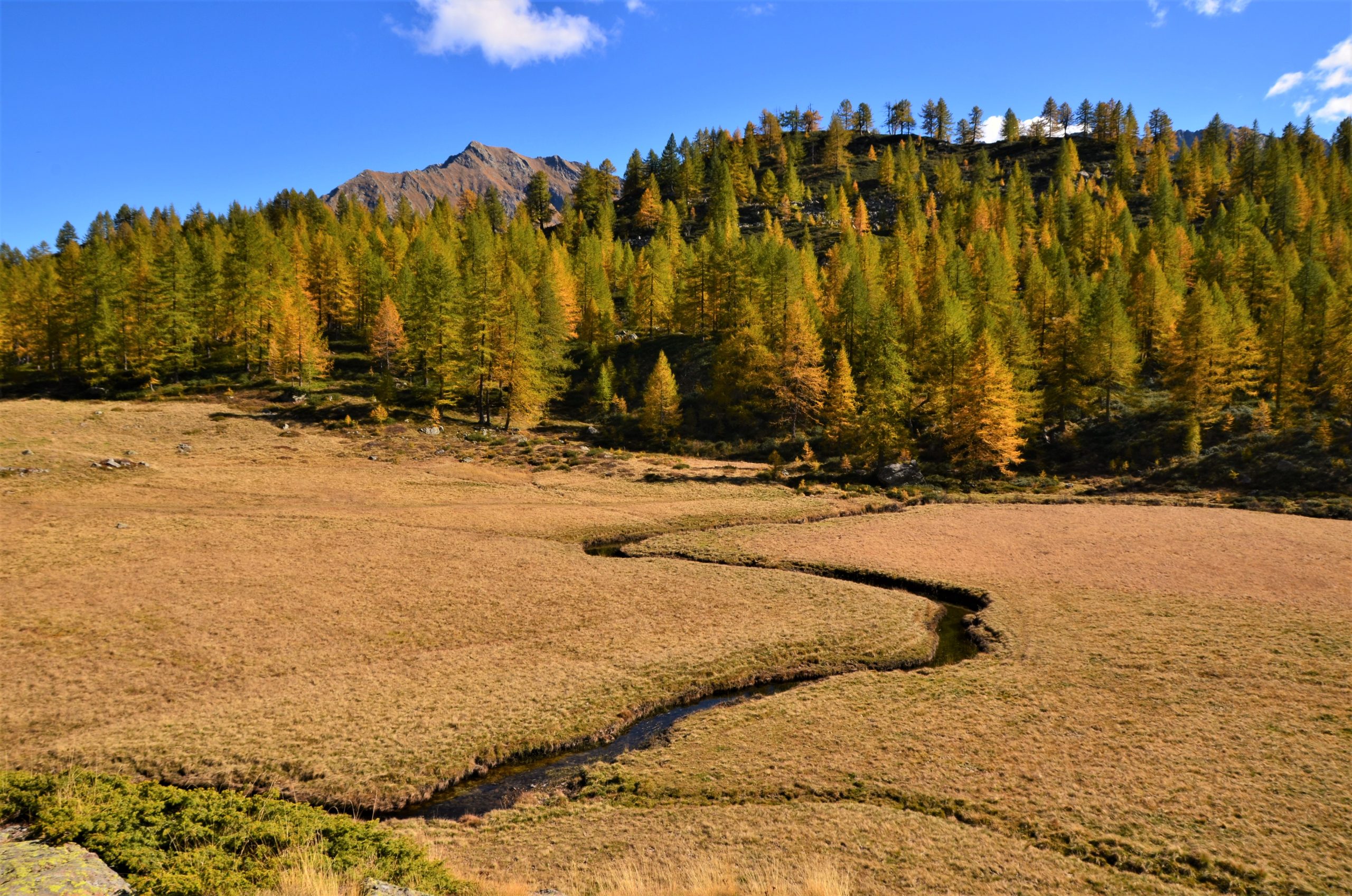
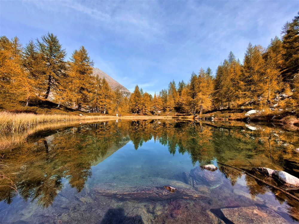
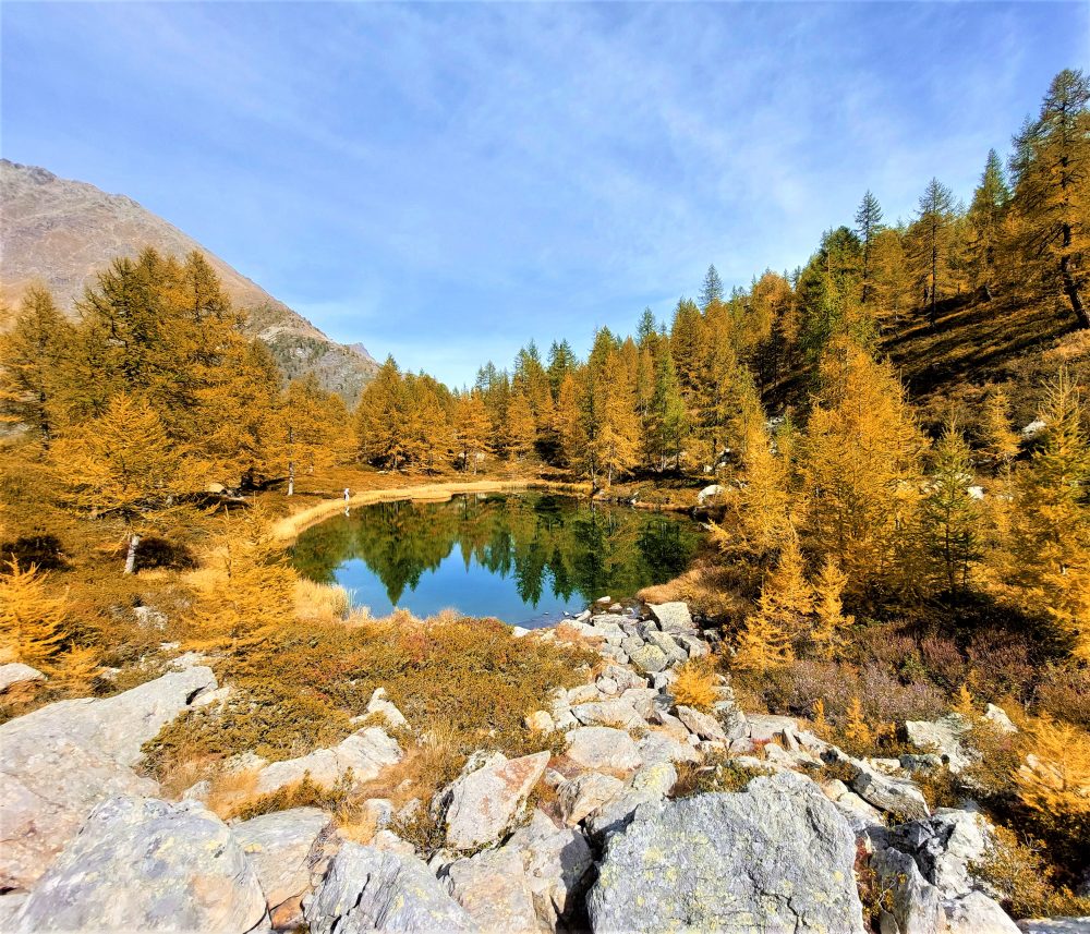
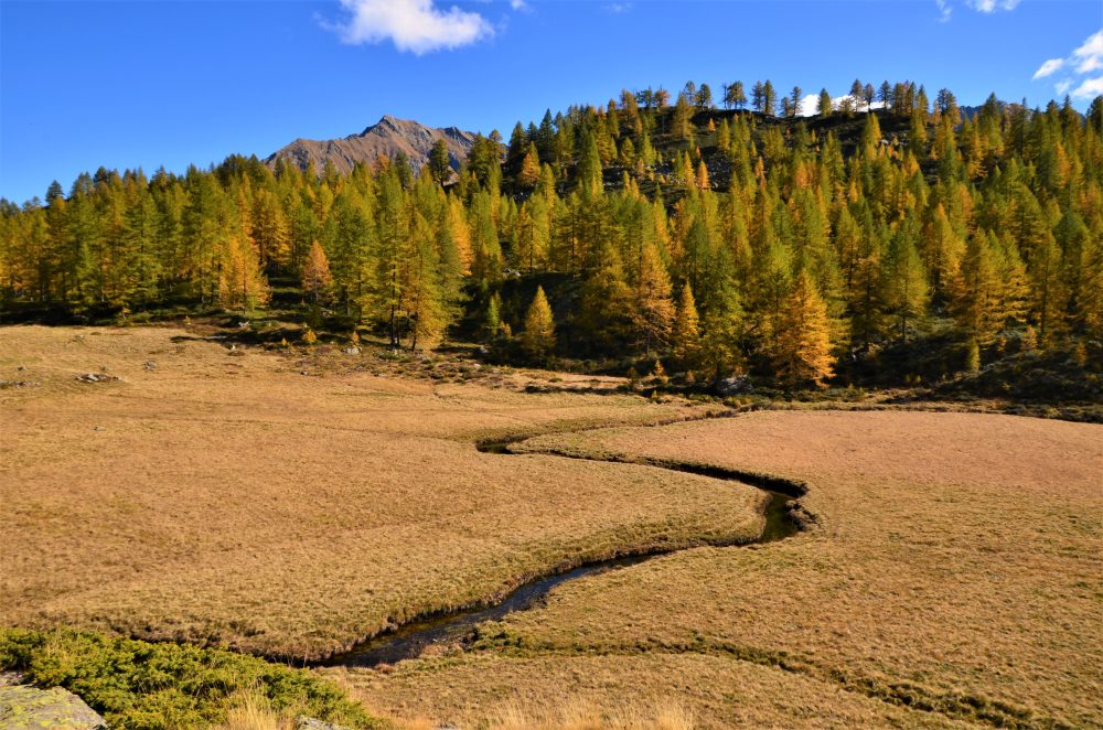
This route is one of the variants found on the way to the Valdobbia Pass, leading to Alpe Larecchio, one of the most beautiful pastures in Valsesia. Its small lake surrounded by larch trees and the wide plateau crossed by the distinctive serpentine created by the passage of the Valdobbia stream make it a beloved and fascinating destination, especially during the colorful fall season!
To reach the starting point of this itinerary, from the village of Riva Valdobbia you walk along the paved carriage road to the hamlet of Ca’ di Janzo, continuing then always on the road (partially subjected to transit restrictions, during the summer season) to the hamlet of Sant’Antonio, where you can park your car (arrival point of the Ca di Janzo – Sant’Antonio summer shuttle).
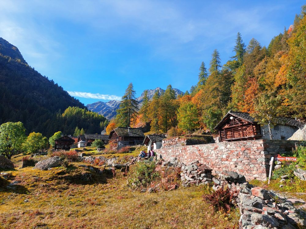
Starting on foot on the dirt road past the houses and the hamlet’s small church, follow the old route to Aosta with the 201 marker. At the end of the dirt road you reach the hamlet of Peccia, with its characteristic Walser houses and beautiful small lake. Continuing on the path to the right that passes between the small houses, just beyond the small church of the Oratory of San Grato, you pass the old Napoleonic-era bridge (reachable in about an hour from Sant’Antonio).
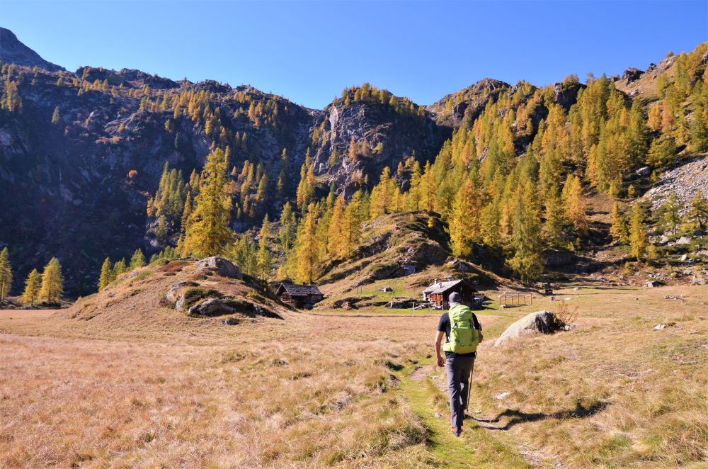
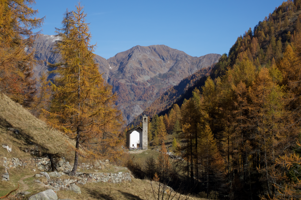
Then take the path that climbs to the right toward La Montata, 1638m, then reaches the two huts of Alpe Tecchiale, and climbs to the little Lancone chapel, 1739m. Further up, inside the larch forest, you reach the junction with the mule track to Colle Valdobbia, which you leave on the right. Then continue left along a good path in the larch forest that soon leads to Alpe Larecchio, 1895m (about 2 hours in total), a splendid and picturesque alpine pasture, which houses a farmhouse.
The origin of the name derives precisely from the many larch trees that surround the alp: one of these large trees stands on a large rock in the center of the basin, from which one can enjoy the special view of the wide plateau. Following the particular path of the small stream that crosses the alp, one can reach the charming little lake located a little higher up.
From the farm building, you can climb up to Pian del Celletto, at about 2100m (0.30-2.45 hours), where you will find the 201 trail leading to Ospizio Sottile again.
Other routes
recommended
Valsesia has a lot to offer to hiking enthusiasts
Suggestive trails surrounded by nature that offer breathtaking views: be surprised by the beautiful mountains of Valsesia!
how to get there
info and contacts
C.A.I. – Club Alpino Italiano di Varallo Sesia
RIVA VALDOBBIA, Fraz. Sant’Antonio – Colle Valdobbia, Rifugio Ospizio Sottile
Route / Trekking
Hikes
trAIL n. 201 sant’antonio – colle valdobbia, Rifugio Ospizio Sottile
difficulty: medium
average duration: 3-4 hours
departure altitude: 1380 mt
arrival altitude: 2480 mt
altitude difference: 1100 mt
Route description
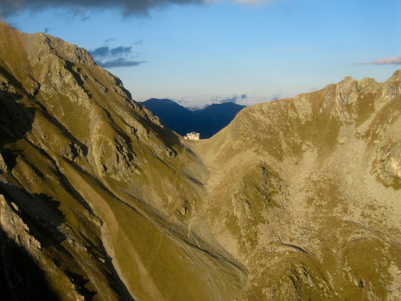
The Valdobbia Pass, located at 2480 meters above sea level, allows communication between two regions and two valleys: the Valsesia and the Aosta Valley. The Vogna Valley, with its mild climate, favored the settlements of Walser colonists coming from Gressoney in the 1300s: emigrants, shepherds, merchants, soldiers, nobles and rulers traveled this important passage for centuries. The crossing often proved risky, due to darkness, fatigue, cold and fog. It was precisely for this reason that Canon Nicolao Sottile, understanding the plight of the Valsesian emigrants, undertook the project of erecting a hospice at the pass: the still-present and popular Rifugio Ospizio Sottile, opened in 1833. This route is part of the Gta (Great Traverse of the Alps), the Via Alpina and the Sentiero Italia Cai.
The road to Colle Valdobbia historically started from Riva Valdobbia, 1112m, and went up the Val Vogna. Now this is crossed by the carriage road leading to the hamlets of Ca di Janzo and Sant’Antonio, where you can park your car (arrival point of the Ca di Janzo – Sant’Antonio summer shuttle).
Starting on foot on the dirt road past the houses and the hamlet’s small church, follow the old path to Aosta with the 201 marker. At the end of the dirt road you reach the hamlet of Peccia, with its characteristic Walser houses and beautiful small lake..
Continuing on the path to the right that passes between the small houses, just beyond the small church of the Oratory of San Grato, you pass the old Napoleonic-era bridge (reachable in about an hour from Sant’Antonio). Immediately afterwards, leaving the path to the left that leads to Alpe Maccagno, 2493m, climb to the right on the path that leads to La Montata, 1638m.
Passing the two huts of Alpe Tecchiale, climb to the small chapel of Lancone, 1739m. Further up, inside the larch grove, leave itinerary 201a on the left that leads to Alpe Larecchio, and to the Piano del Celletto variant. You then take the path that turns right, then crossing the Valdobbia stream on a bridge. You then ascend with a wide loop to Pian del Celletto (where you rejoin trail 201a coming from Alpe Larecchio). Past a hump, there it appears, still far up the hill, the Ospizio Sottile!
We continue through the plains called Piana Grande and Sasselli dell’Asina, until we enter the final gully, which we traverse with a few hairpin bends, finally reaching the Valdobbia Pass, 2480m, on which the Ospizio Sottile is located (total about 3h30).
Ospizio Sottile is the base for ascents to Cresta Rossa, 2986m, Corno Valdobbia, 2755m, Punta Plaida, 2689m, and Punta Carestia (or Corno Rosso), 2979m. Although off-center, it can also be used for ascents to Corno Bianco, 3320m, and Punta Ciampono, 3233m. Route 11 takes you down to Valdobbia (Lys Valley), just downstream from Gressoney.
Other routes
recommended
Valsesia has a lot to offer to hiking enthusiasts
Suggestive trails surrounded by nature that offer breathtaking views: be surprised by the beautiful mountains of Valsesia!
how to get there
info and contacts
C.A.I. – Club Alpino Italiano di Varallo Sesia
CAMPERTOGNO, Fraz. Tetti – Alpe Argnaccia – Punta Sivella
Route / Trekking
Hikes
TRAIL n. 278 Campertogno, fraz. Tetti – Alpe Argnaccia – Punta Sivella
Difficulty: easy
average duration: 5 hours
departure altitude: 827 mt
arrival altitude: 2523 mt
altitude difference: 1696 mt
Route description
This is the normal and most popular way up to Punta Sivella, passing through the beautiful and vast Alpe Argnaccia.The first section of the trail is part of the Art Trails, the “Campertogno-Cangello Art Trail,” which touches on the fourteen niches illustrating the life of the Virgin Mary, the two churches of Madonna degli Angeli and Callone, the Argnaccia plateau and the Cangello Alp. Punta Sivella, which rises between Valle Artogna and Val Sassolenda thanks to its location, offers a splendid view of the surrounding landscape. On the peak every year in August, Holy Mass is celebrated.
The route starts from Tetti, a hamlet of Campertogno. After crossing the village, you reach near the cemetery where the carriage road ends (and where there are some car parking spaces). You then take the mule track lined with low walls and meet the first of the small chapels on the Art Trail. The mule track begins to climb, crosses a stream and continues to where the oratory of Madonna degli Angeli stands. The trail enters the woods, crosses the stream again on wide stones and continues on a beautiful mule track always lined with the little chapels until it reaches Madonna del Callone (1092m).
It then crosses a beech forest and shortly afterwards reaches the splendid shelf of Alpe Argnaccia, (1183m).
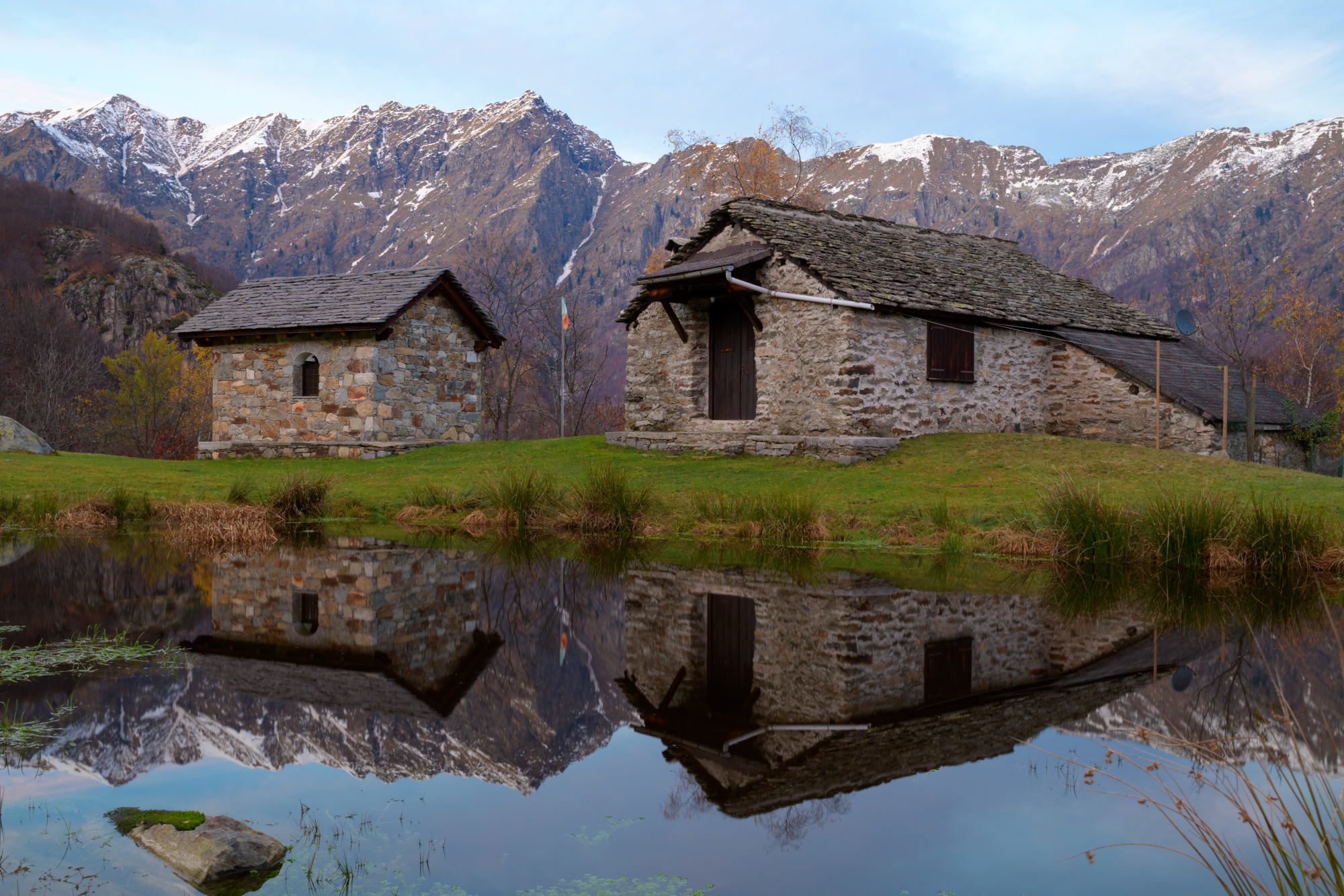
The Alpe features a small lake on which are reflected characteristic mountain cottages, the alpegggio and a small chapel. The path to the left leads to the alpine huts
Our route points west, flanked by low walls, through characteristic cottages surrounded by meadows, ash and conifer groves
We approach Alpe Cima (1260m), leaving the route leading to Becco della Guardia on the left, and shortly afterwards reach Alpe Cangello (1364m) where there are some huts, a fountain and a old little church. Turn left and enter Vallone Massero, touching Alpe Cascine. You climb into the pasture of Alpe Campo dei Frei (1477m) and enter the fir and larch forest before reaching the Sella (1583m). The route follows the southern flank until it reaches Alpe Vasnera (1743m). From this alpine pasture, still frequented by shepherds, the route to Vasnera Pass begins. Instead, the trail continues uphill, which becomes steeper, near the Fontanone shelf. Hovering on the opposite slope some large rocks, you reach Punta Sivella or Ciciozza (2523m). A small chapel, dear to the citizens of Campertogno, was built on the summit in 1942, from which the cross rises.
The peak can also be reached by route 274a coming from Alpe Campo in Valle Artogna.
Other routes
recommended
Valsesia has a lot to offer to hiking enthusiasts
Suggestive trails surrounded by nature that offer breathtaking views: be surprised by the beautiful mountains of Valsesia!