via francigena
Route / Trekking
via francigena
Route description
DEVOTIONAL ROUTE
THE VIA FRANCIGENA – SIGERIAN ROUTE
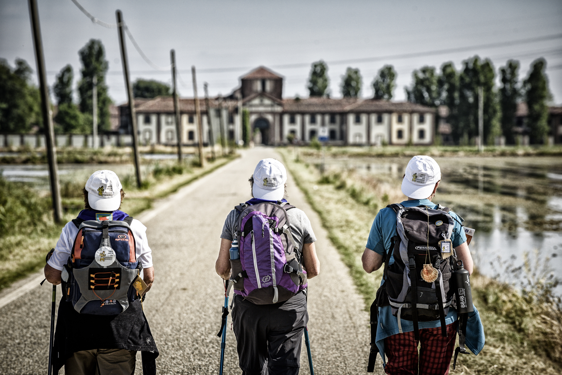
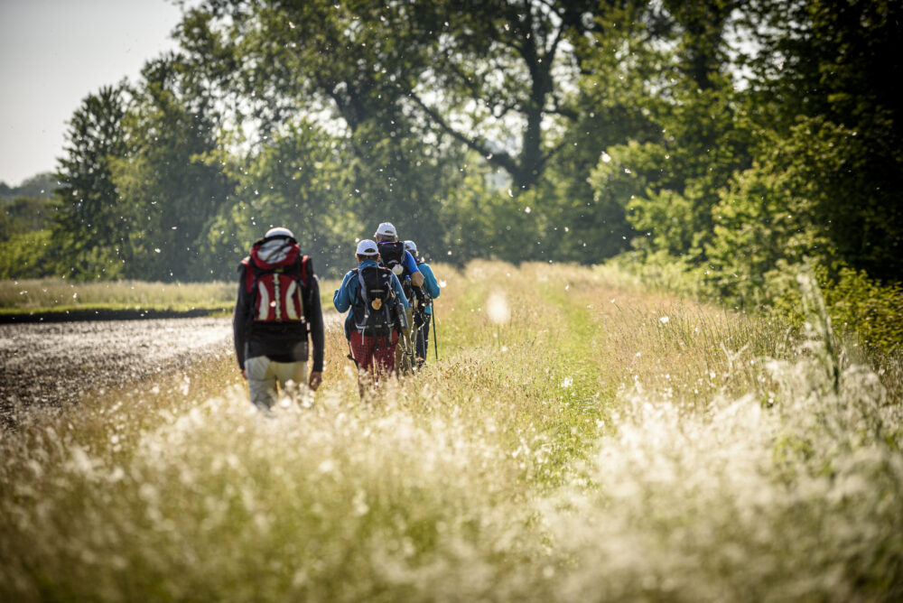
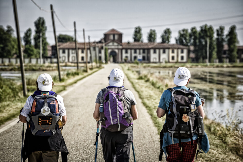
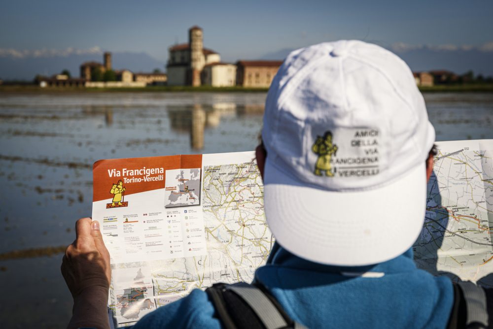
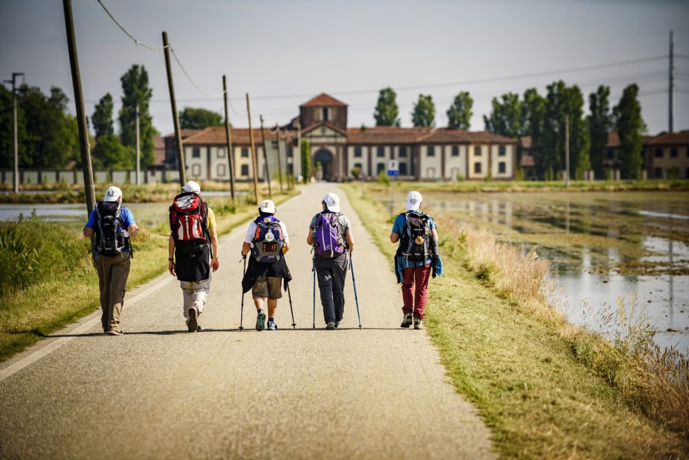
The Via Francigena is a system of branched routes that unites the peoples and cultures of Europe, touching five states, 16 regions, and more than 600 municipalities.
The Sigeric Itinerary refers to the route described by the Archbishop of Canterbury, who traveled to Rome in 990 to receive the pallium, symbol of archiepiscopal dignity, from Pope John XV.
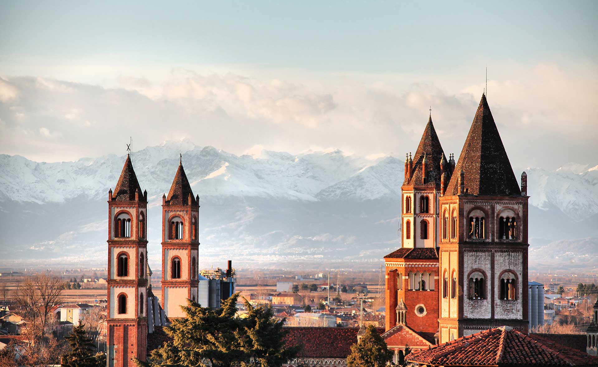
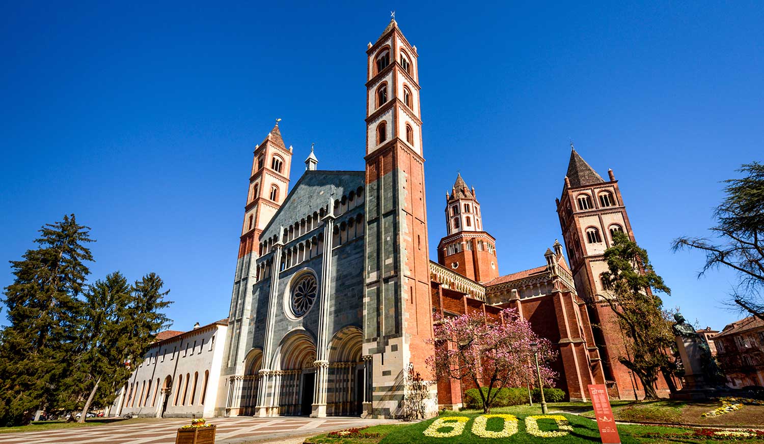
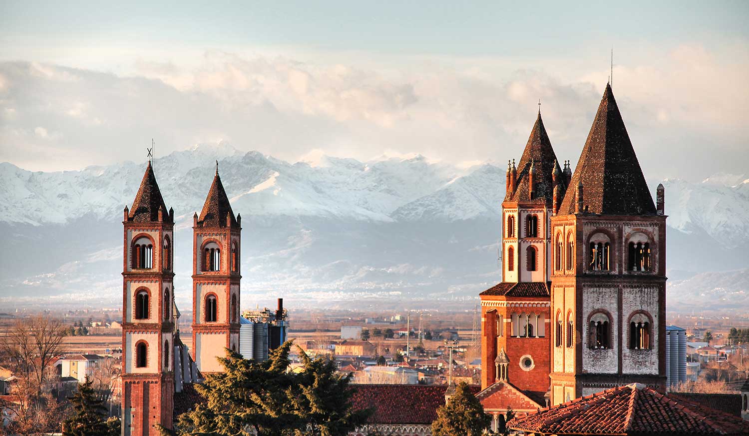
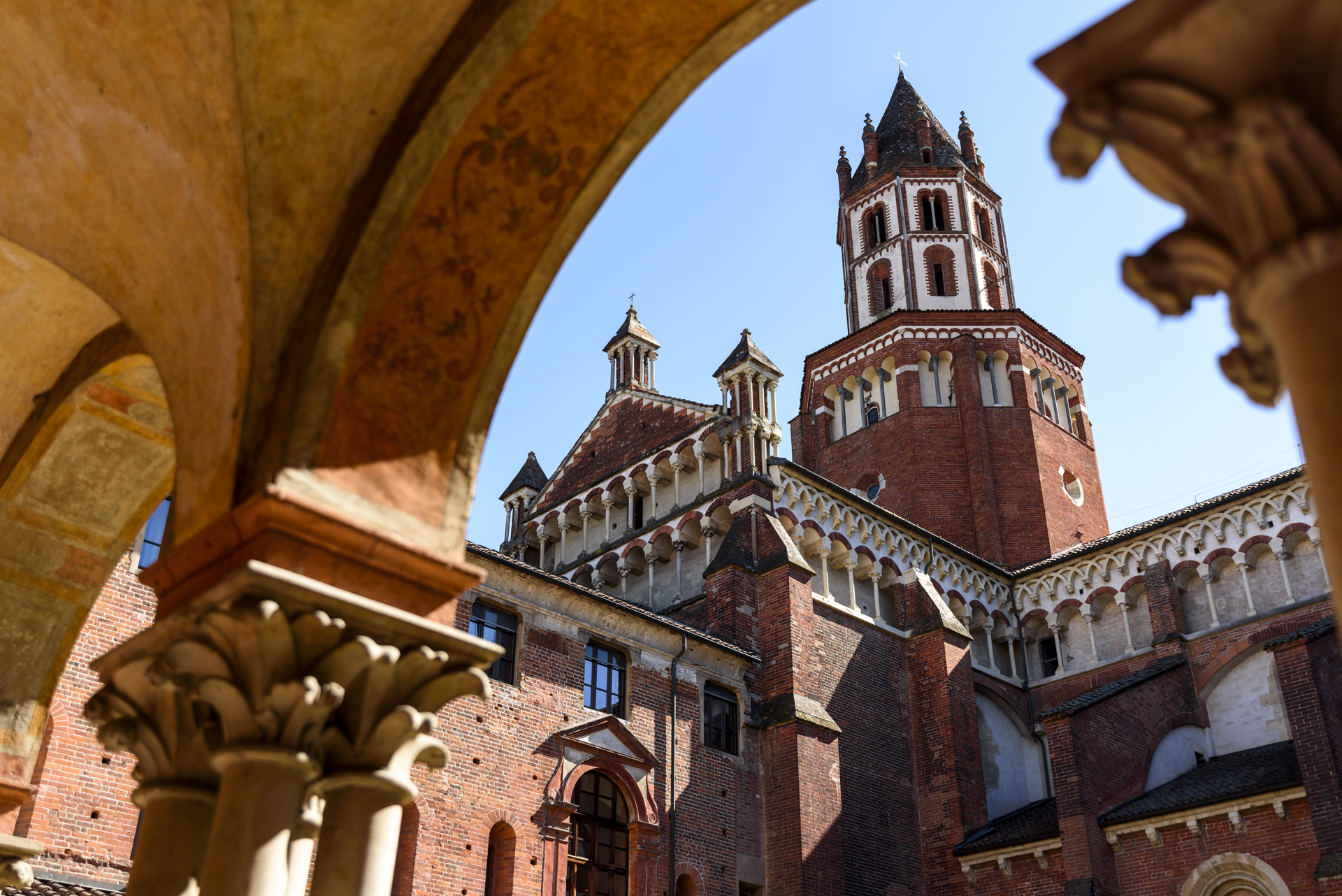
Vercelli, in the list of 80 stops cited by the archbishop, appears as the 43rd point, a sort of “halfway point” of the devotional journey. To welcome pilgrims on their journey and provide them with refreshments, Cardinal Guala Bicheri commissioned the city’s first hospital, built directly across from the Basilica of Sant’Andrea, which he himself had commissioned in 1219.
Every year, Vercelli welcomes countless pilgrims from around the world to travel the historic Via Francigena, receive the city stamp for their passports, and rest at the Hospitale Sancti Eusebi before continuing their journey!
ITINERARY IN THE PROVINCE OF VERCELLI
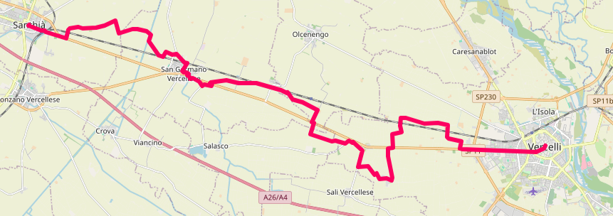
Coming from the Province of Biella (Viverone/Cavaglià), you enter the Vercelli region, with Santhià as the first stop in the province.
Santhià – San Germano – via Olgenengo – Cascine Strà – Montonero – Vercelli. Total route length: 29 km.
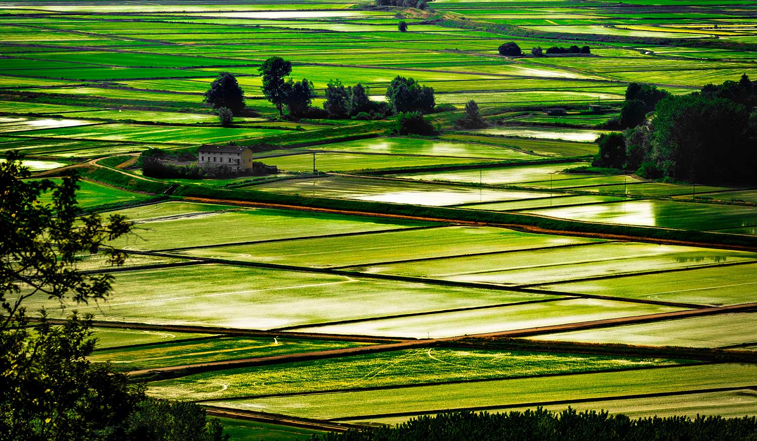
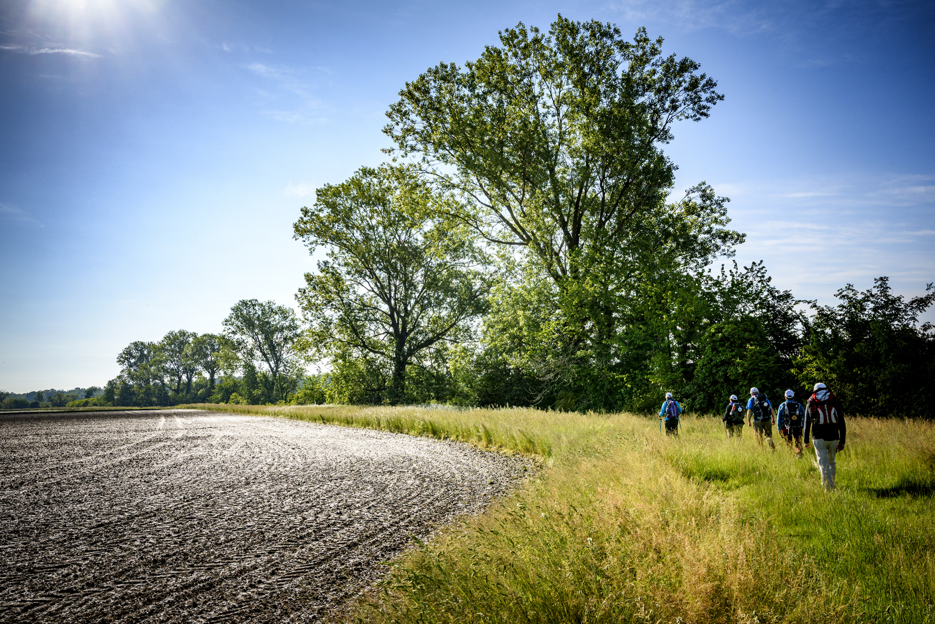
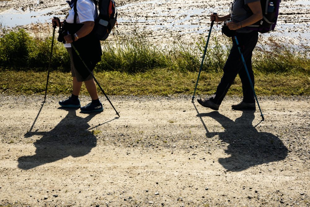
Leaving Vercelli, following the banks of the Sesia River, through poplar groves and rice paddies, you enter Lombardy, in the province of Pavia.
Other routes
recommended
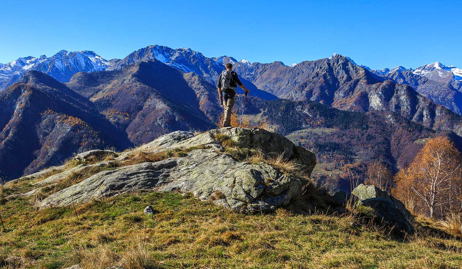
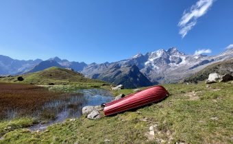
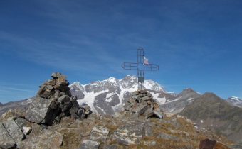
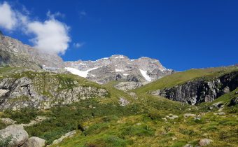
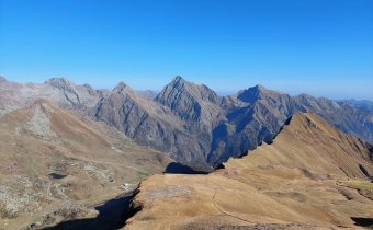
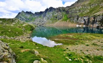
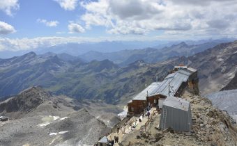
Valsesia has a lot to offer to hiking enthusiasts
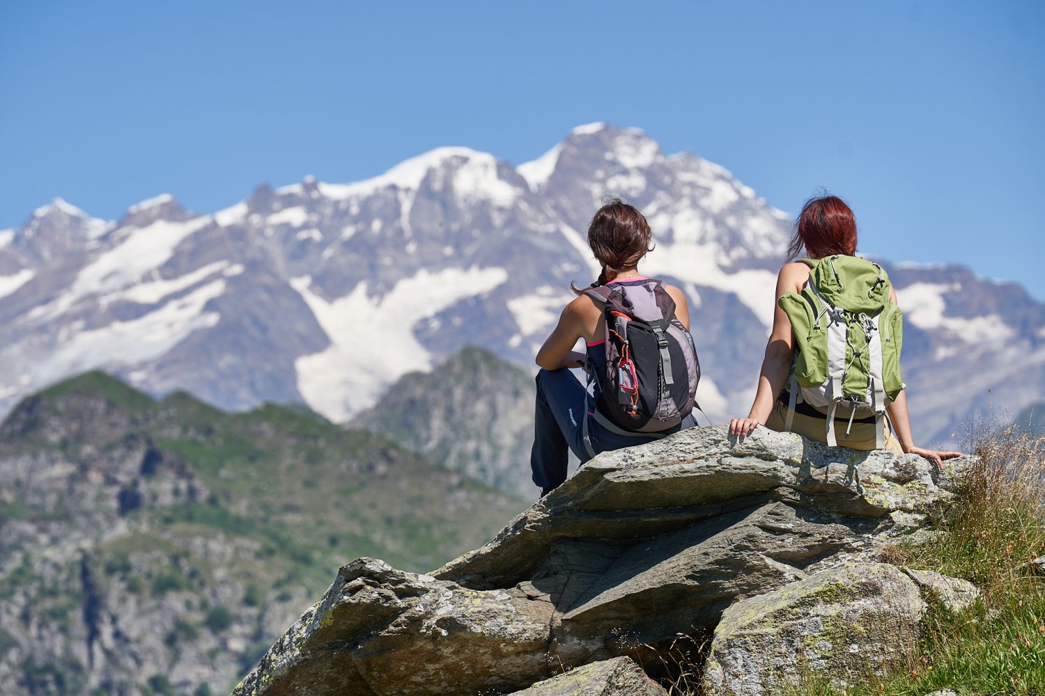
Suggestive trails surrounded by nature that offer breathtaking views: be surprised by the beautiful mountains of Valsesia!
how to get there
info and contacts
Associazione AMICI DELLA VIA FRANCIGENA
Bike path Balmuccia – Alagna Valsesia
Route / Bike
MTB
Bike path Balmuccia -alagna valsesia
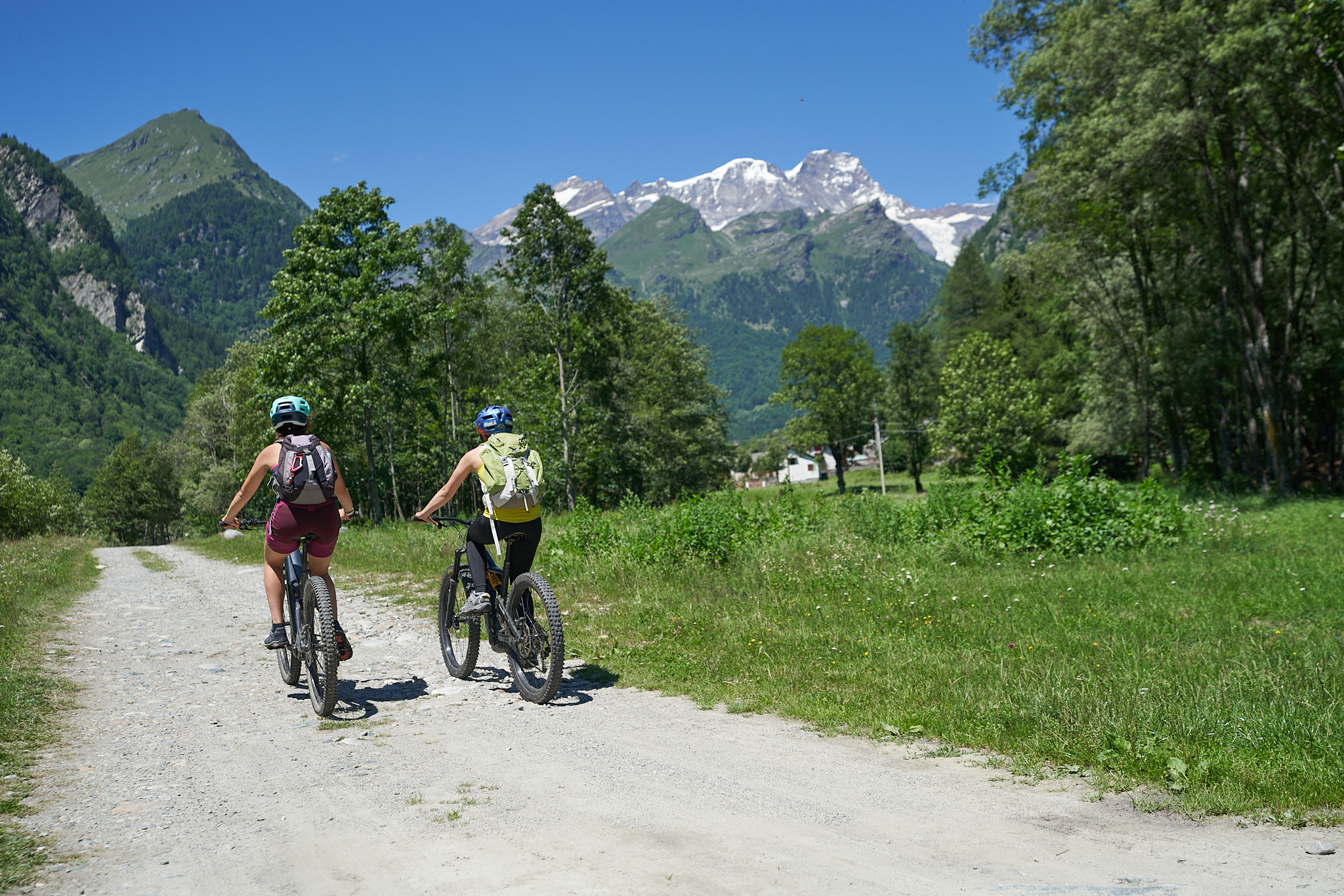
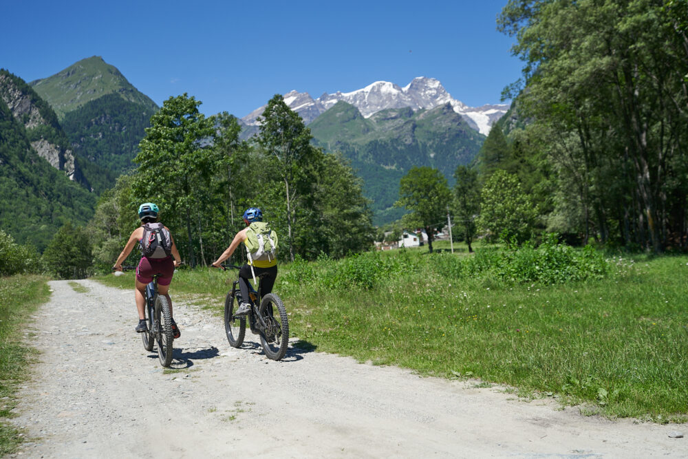
Route that crosses the length of Alta Valsesia, passing through the most relevant artistic and cultural sites in the area and arriving in the renowned Alagna, Walser Green Paradise
Difficulty: medium
Distance: 31 km
average duration: 2 hours
highest elevation: 1185 mt
lowest elevation: 553 mt
altitude difference: 772 mt
Route description
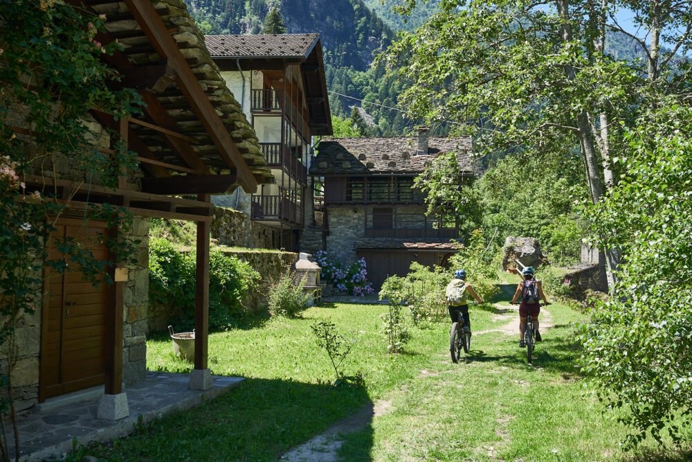
On Provincial Road 299 at the height of Balmuccia, you will meet the first yellow sign of the bicycle path. Turning right, continue following the yellow signs to the parking lot of the Balmuccia School or following the signs bearing the name Monrosa, to that of the Monrosa Canoe and Rafting Center.
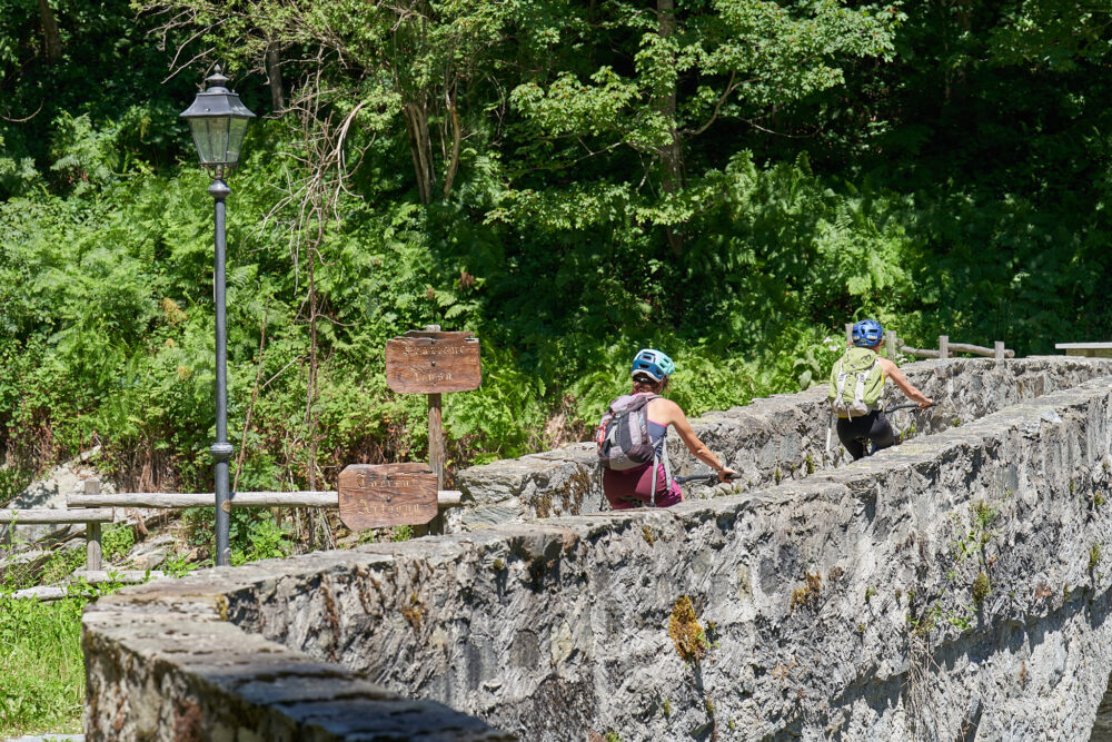
From here starts an interesting trail that, once crossed the bridge over the Sesia, goes into the side of the mountain with a striking view of the canyon below. After overcoming some challenging gradients, it reaches the northernmost bridge that once crossed leads to the village of Scopetta reached by crossing SP 299. From here you travel about 400 meters on the Provincial Road, to follow on the Muro di Scopa bike path. At the height of Scopa, you cross the Provinciale again and then take the orographic left side of the Sesia again until you cross an iron bridge.
From here you recover altitude with a challenging drop through chestnut woods to descend again in the hamlet of Chioso reaching Scopello. A stretch of about 1 km. on asphalt road leads to the entrance of the wide path that, smoothly reaches Piode on the orographic right side of the Sesia. From here you reach Quare Bridge after passing a larch forest. After 100 m in the direction of Rassa, on the right you take a paved road that descends on the flat and crosses wide meadows and farmsteads for almost 2 km.
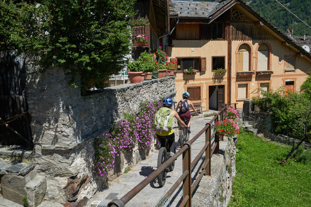
When you reach Campertogno, leave the Sesia on the right and climb on a paved road to the pretty hamlet of Rusa. From here you re-enter a path through the woods that leads to Mollia and continue with moderate gradient in a contour of lush vegetation to Otra Sesia. From this point take the generous dirt road recently made within a spectacular and impressive larch forest. After overcoming a couple of challenging but short gradients, you reach the Isolello bridge, which, with a steep, short cemented ramp, leads to the bridge that crosses the Sesia, returning to the orographic left side of the river.
Continuing on a wide and easy dirt road, in places covered with a grassy carpet, you reach the hamlet of Balma di Riva Valdobbia and from here continue without particular difficulty to the small bridge leading to the Circonvallazione. The sign on the left of the last yellow sign allows you to reach the center of Alagna.
For those who do not wish to travel the full 35 km, it is possible to access the route in the villages of Scopa, Scopello, Piode, Campertogno, Mollia, and Riva Valdobbia. Each access is marked by a yellow sign posted on SP 299. The distances of the individual sections measure an average of 5 km.
Other paths
recommended
Discover the bike trails Valsesia has to offer!
Bike and Mtb excursions through breathtaking views surrounded by the nature of Valsesia
Bike path Scopello-Mera-Meggiana-Rassa-Scopello
Route / Bike
MTB
Bike path Scopello-Mera-Meggiana-Rassa-Scopello
Difficulty: medium
Distance: 38 km
average duration: 3 hours
Departure altitude: 1441 mt
arrival altitude: 1440 mt
altitude difference: 360 mt
Route description
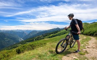
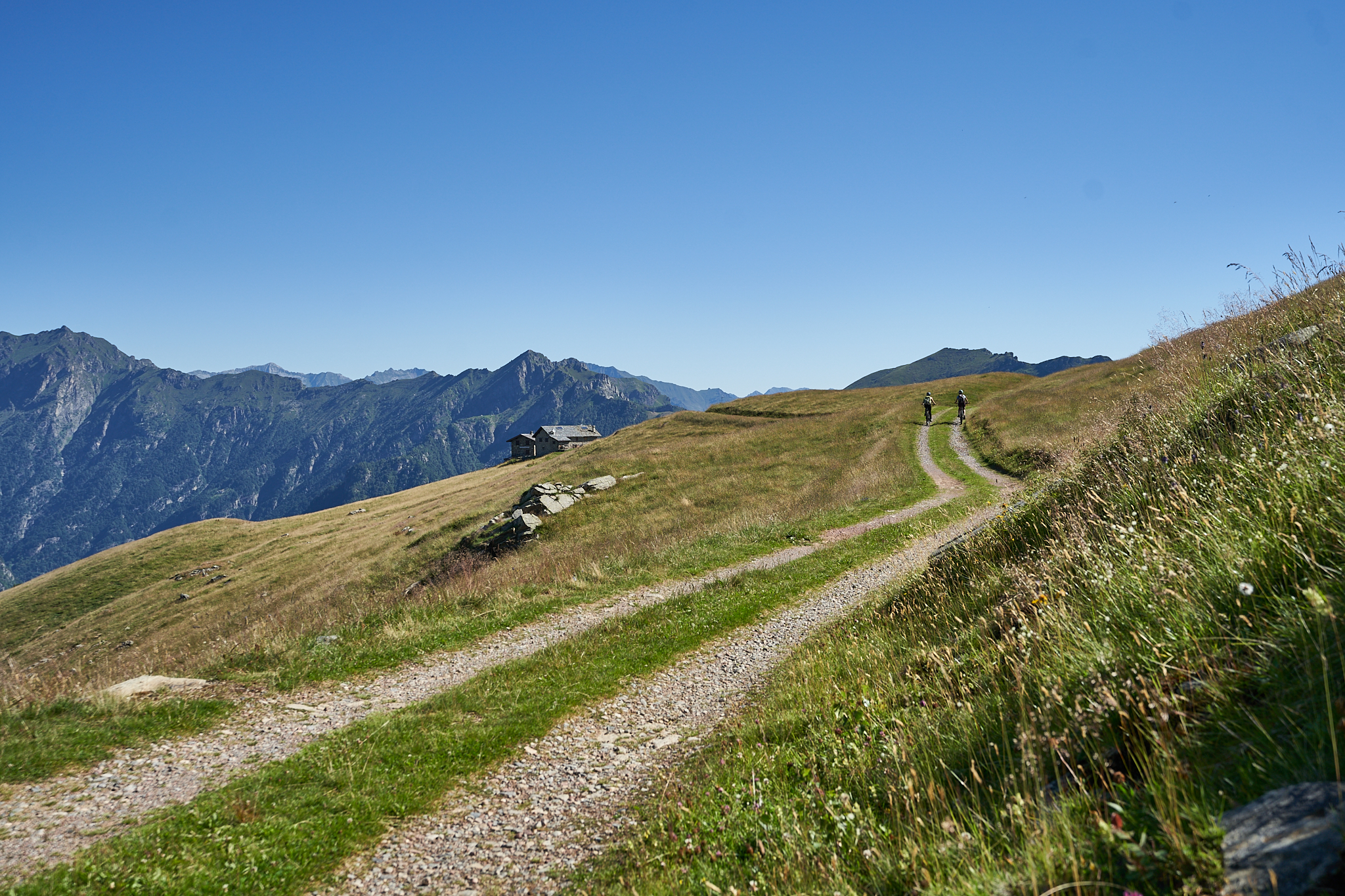
The bike path starts in front of the arrival of the Scopello-Mera chairlift, where a steep ramp leads to the foot of Mount Camparient.
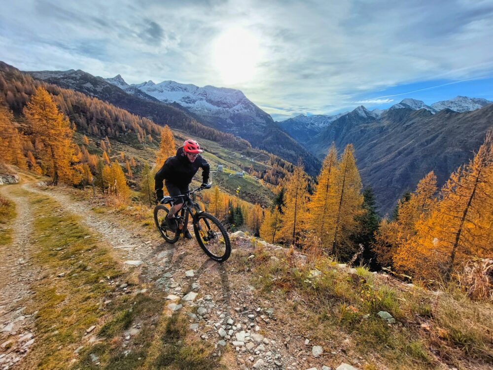
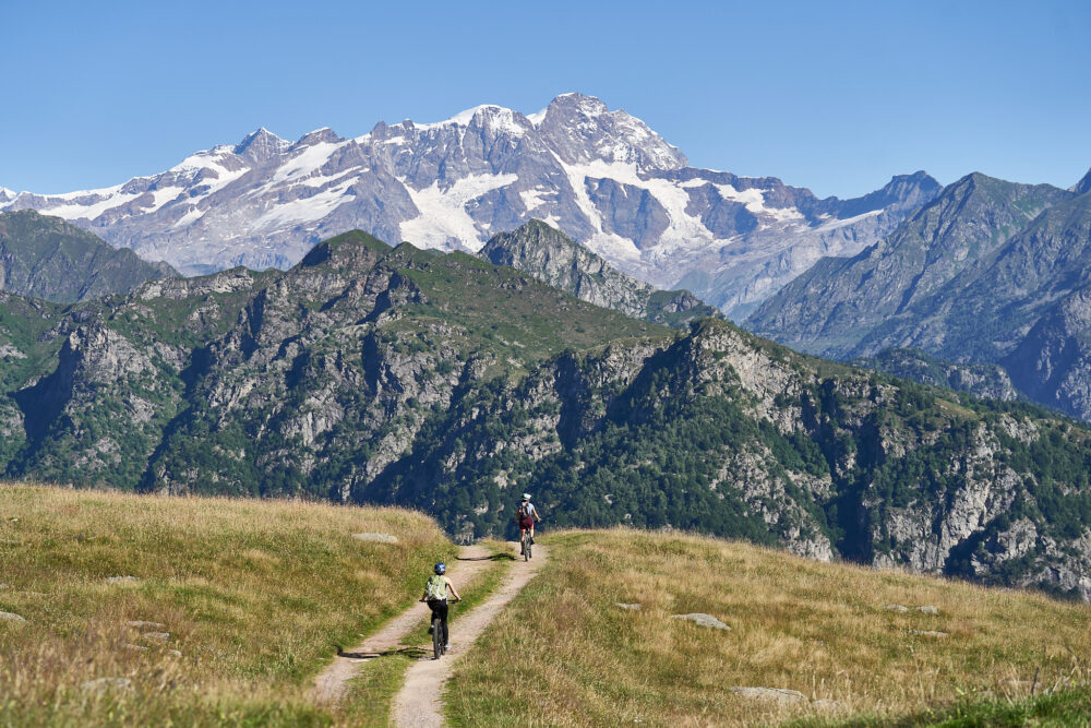
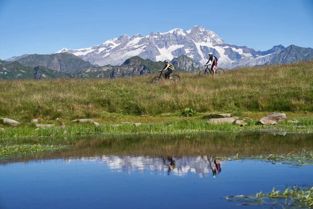
A striking view of Monte Rosa guides the route, which with very small elevation changes crosses the entire Alpe di Mera among magnificent rhododendron and blueberry bushes to Colle d’Ovago, below Monte Ometto.
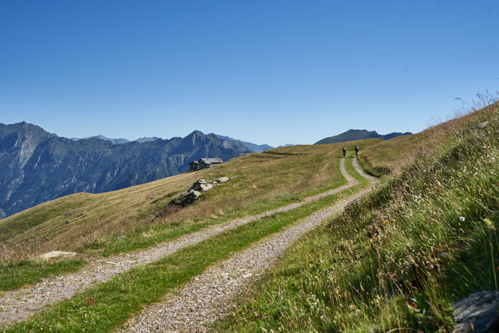
From here you continue at altitude without any particular difficulty until you reach first Alpe Meggiana, at the height of the charming Lake of Pizzo, then with moderate gradient Alpe Sorbella from where you descend with a dozen hairpin bends reaching the bridge that crosses the Sorba stream.
This stretch, although wide, requires for the slope and the bottom an adequate preparation. It is therefore recommended to get off the vehicle by accompanying it on foot.
The next section of the dirt road route leading to Rassa is of moderate gradient and presents no particular difficulty. On a paved road, you will come downhill in a few kilometers to the Quare bridge to rejoin itinerary No. 1. At this point it is possible to choose whether to continue toward Alagna or return to Scopello as the more classic route provides.
Other paths
recommended
Discover the bike trails that Valsesia has to offer!
Bike and Mtb tours through breathtaking views surrounded by the nature of Valsesia
Bike path Alpe di Mera-Bielmonte
Route / Bike
MTB
bike path Alpe di Mera-Bielmonte
Difficulty: medium
Distance: 20 km
average duration: 3 hours
departure altitude: 786 mt
arrival altitude: 831 mt
altitude difference: 360 mt
Route description
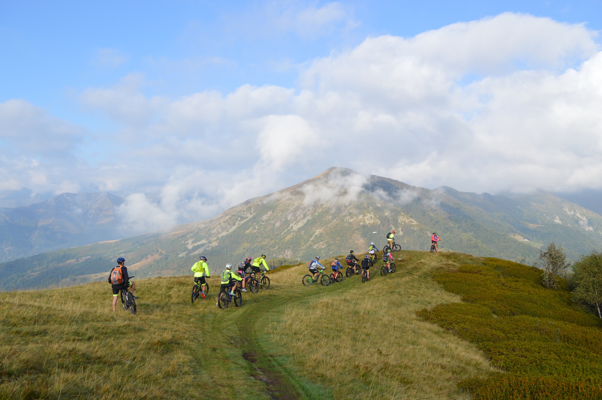
The uniqueness of this itinerary is definitely to unite, while remaining at altitude, two provinces of Piedmont. Riding it means exploring Valsesia but also Valsessera, and cycling in one of the most appreciated and well-known parks in the region, Oasi Zegna.
With a pleasant and scenic chairlift ride, you reach Alpe di Mera. From here descend along the carriage road for about 2 km. to the junction for Bocchetta della Boscarola.
Always follow the yellow sign with the stylized figure of a cyclist and the number 3 in a red field. A smooth dirt road leads up to the 1,423-meter elevation of the Col, with a gentle climb about 2.5 km long.
This is followed by a downhill section, to Dolca, and then an alternating 10-km-long climb and descent to the Fisherman’s House.
From this point the ascent resumes, for about 5 km, until the arrival in Bielmonte through Bocchetto Sessera.
The route runs mainly within the Zegna Oasis in the Alta Valsessera Regional Forest.
The bicycle path is wide and smooth the entire way. The apparently unimpressive duration should be calculated taking into account also the return, which if done in the saddle doubles km and hours indicated.
Other paths
recommended
Discover the bike trails Valsesia has to offer!
Bike and mountain bike tours among Valsesia’s breathtaking views.
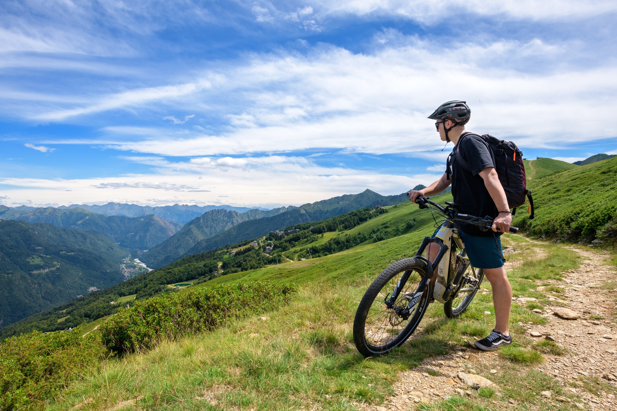
Mera bike path
Route / Bike
MTB
Mera bike path
Loop bicycle and pedestrian route that crosses the most picturesque and panoramic points of Alpe di Mera, with views of Valsesia and Monte Rosa.
Difficulty: EASY
Distance: 4.3 km
average duration: 1.5 hours
LOWEST POINT: 1511 mt
HIGHEST POINT: 1648 mt
altitude difference: 136 mt
Route description
The trail begins in front of the Scopello-Mera chairlift arrival, where signs guide to Alpe Campo, initially on asphalt road through the village, then on dirt road. From here begins a gradual ascent on trail to Pian d’Asnin. At this point, route 2A meets number 2 (the Mera-Meggiana-Rassa bike path). Signs indicate to ride it in the opposite direction and then at the fork to turn left towards the village of Mera. This section is wide, scenic and almost flat until you reach Boschetto, where a quick descent brings you back to the starting point.
Directions to follow
Yellow signage with stylized cyclist and number 2a from the chairlift station to Alpe Campo and Pian d’Asnin. Yellow signage with stylized cyclist and number 2 from the Pian d’Asnin-cycleway 2 Mera-Meggiana-Rassa intersection (follow the directions in the opposite direction from that indicated by the arrows).
Come arrivare
Info e contatti utili
To reach the start of the route take the Valsesia SP 299 to Scopello, where you can park your car for free in the Piazzale Seggiovie and take the chairlift up to Mera on opening days (see https://www.alpedimera.it/).
Alternatively, you can reach Mera by car from Scopello (9 km). High-altitude parking lots for a fee.
Other paths
recommended
Discover the bike trails Valsesia has to offer!
Bike and mountain bike tours among Valsesia’s breathtaking views.
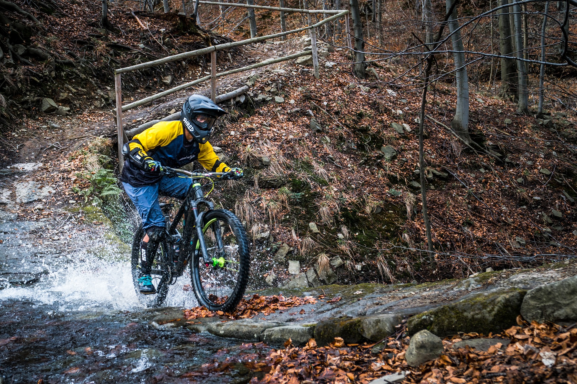
MTB routes of Serravalle Sesia
Route / Bike
MTB
MTB routes of Serravalle Sesia
Route Description
Climbs on sometimes steep dirt roads, adrenaline-fueled descents and lots of fun: this and much more in the woods of Serravalle Sesia!
With your mountain bike you can climb to gain the descent, ride among friends, meet new places and confront each other on the descent to see who is the fastest. The climbs serve mainly as transfers to reach the start of the adrenaline-filled descents: trails of varying difficulty that between jumps, turns and descents are ideal for those looking for fun and speed.
These trails for mtb downhill enthusiasts are known as the “Sentieri E-Gravity Team“.
Enduro is the ideal discipline for the all-around biker who wants a means to do everything, who likes long rides on his bike, who does not necessarily want to use mechanized ascents, and who most of all loves downhill competition.
Numerous trails are constantly cleaned and monitored so that everyone can enjoy smooth and fast descents.
If you do not have adequate training, the use of an E-Bike is recommended.
Other routes
recommended
Discover the bike trails that the Province of Vercelli has to offer!
Bike and Mtb excursions through breathtaking views immersed in the nature of Vercelli and Valsesia
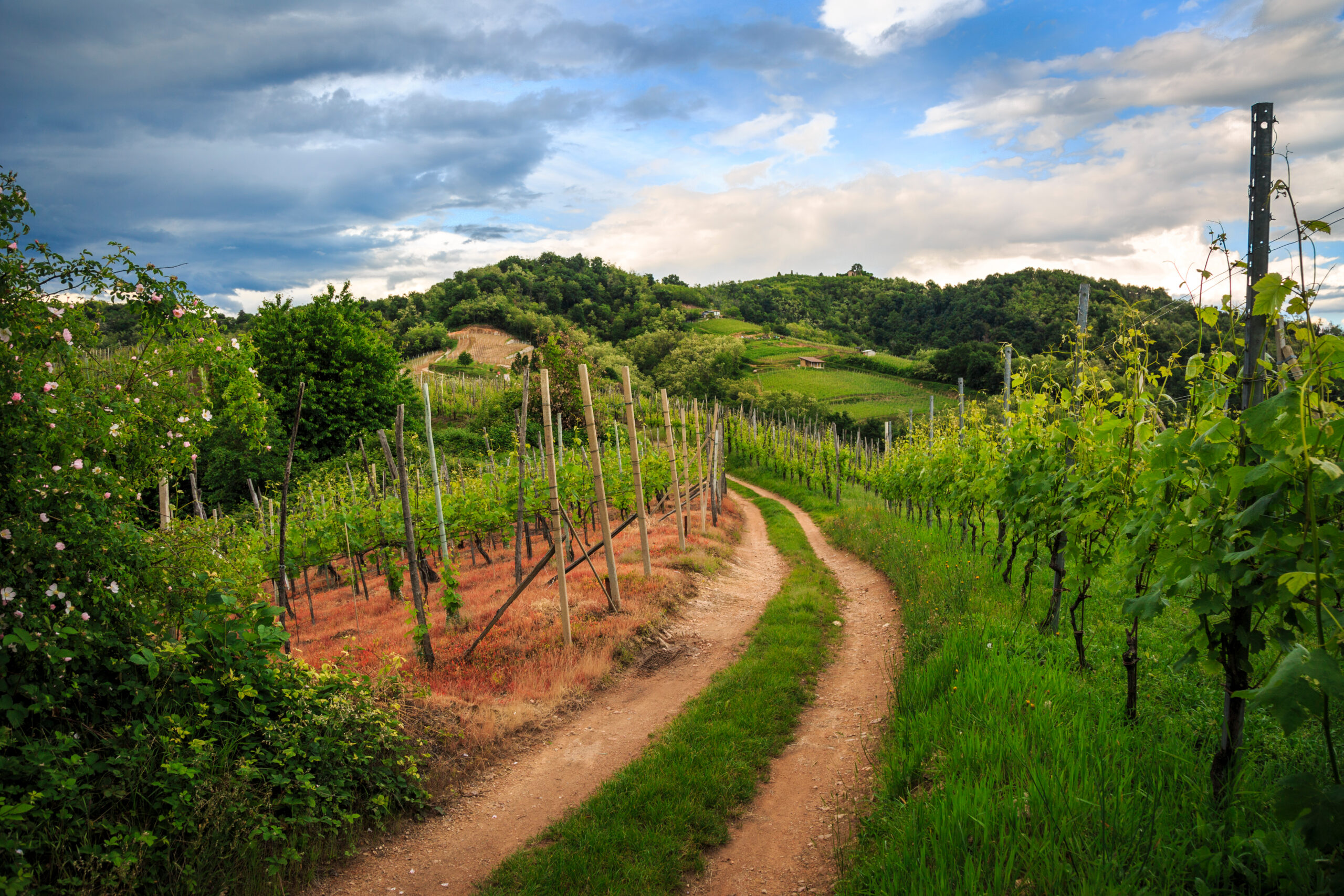
Mtb among the vineyards of Gattinara
Route / Bike
MTB
Mtb among the vineyards of Gattinara
Route Description.
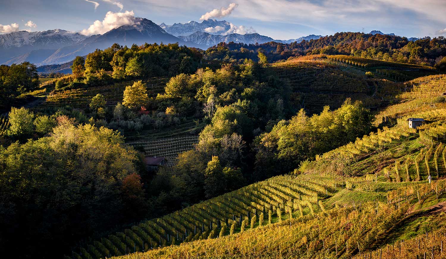
From the center of the pretty town of Gattinara, the mtb ride begins among the vineyards of its beautiful hills. The asphalt climb will take you to a scenic first stop: the Castelle Tower, with its Giant Bench. Continuing along a mostly unpaved road, you will reach the Castle of San Lorenzo, the highest point in Gattinara, from which you can enjoy an exceptional view of the mountains, the hills and the city.
From the castle you continue pedaling toward the Nervi vineyards and the panoramic terrace of the same name. From here you can then return to Gattinara by following the road that descends to the foot of the vineyards
Along your route you cannot fail to notice three beautiful art installations depicting characteristic chalices, placed at scenic points: the Vie dei Calici.
The hills of Gattinara, in addition to offering beautiful views and trails among the vineyards for relaxation, also provide a good adrenaline rush: just between the woods and vineyards there are numerous trails dedicated to enduro, for those who are looking for a little speed. These trails for fans of mtb descents, are known as “I Sentieri dei Gatti”, The Cat Trails.
Riding your bike, get ready to ride on uphill roads through the vineyards that connect to the start of the different trails that, with adrenaline-fueled curves and descents, will take you back to the foothills.
If you do not have adequate training, the use of an E-Bike is recommended.
Other paths
recommended
Discover the bike trails that the Province of Vercelli has to offer!
Bike and Mtb excursions through breathtaking views immersed in the nature of Vercelli and Valsesia
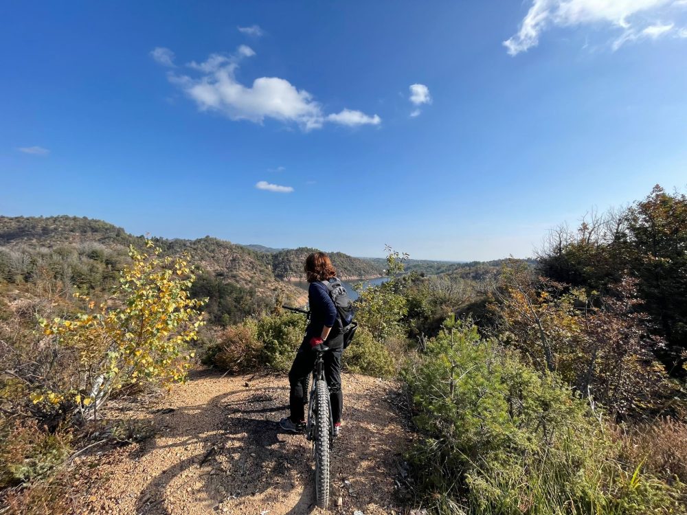
Le Rive Rosse in MTB
Route / Bike
MTB
Le Rive Rosse in MTB
Route Description.
The small wine-producing village of Roasio is known among mountain bike enthusiasts for its trails leading to the Rive Rosse, a hilly area known for its reddish soil and rocks, which give the landscape an almost surreal feel.
It’s the ideal place for those who want to explore a unique mountain bike landscape, with varying levels of difficulty depending on everyone’s fitness level, from beginners to experts.
Challenging climbs on dirt roads alternate with wonderful, well-groomed single tracks: descents of varying difficulty, fun, and scenic!
Many trails are constantly cleared and monitored, allowing everyone to enjoy smooth, fast descents.
Furthermore, the Rive Rosse area also boasts a mountain bike school for children aged 6 and up: lessons are designed to teach youngsters how to master the use of a bike and how to tackle obstacles and various types of off-road terrain.
If you are not adequately trained, using an E-Bike is recommended.
Other paths
recommended
Discover the bike trails that the Province of Vercelli has to offer!
Bike and Mtb excursions through breathtaking views immersed in the nature of Vercelli and Valsesia
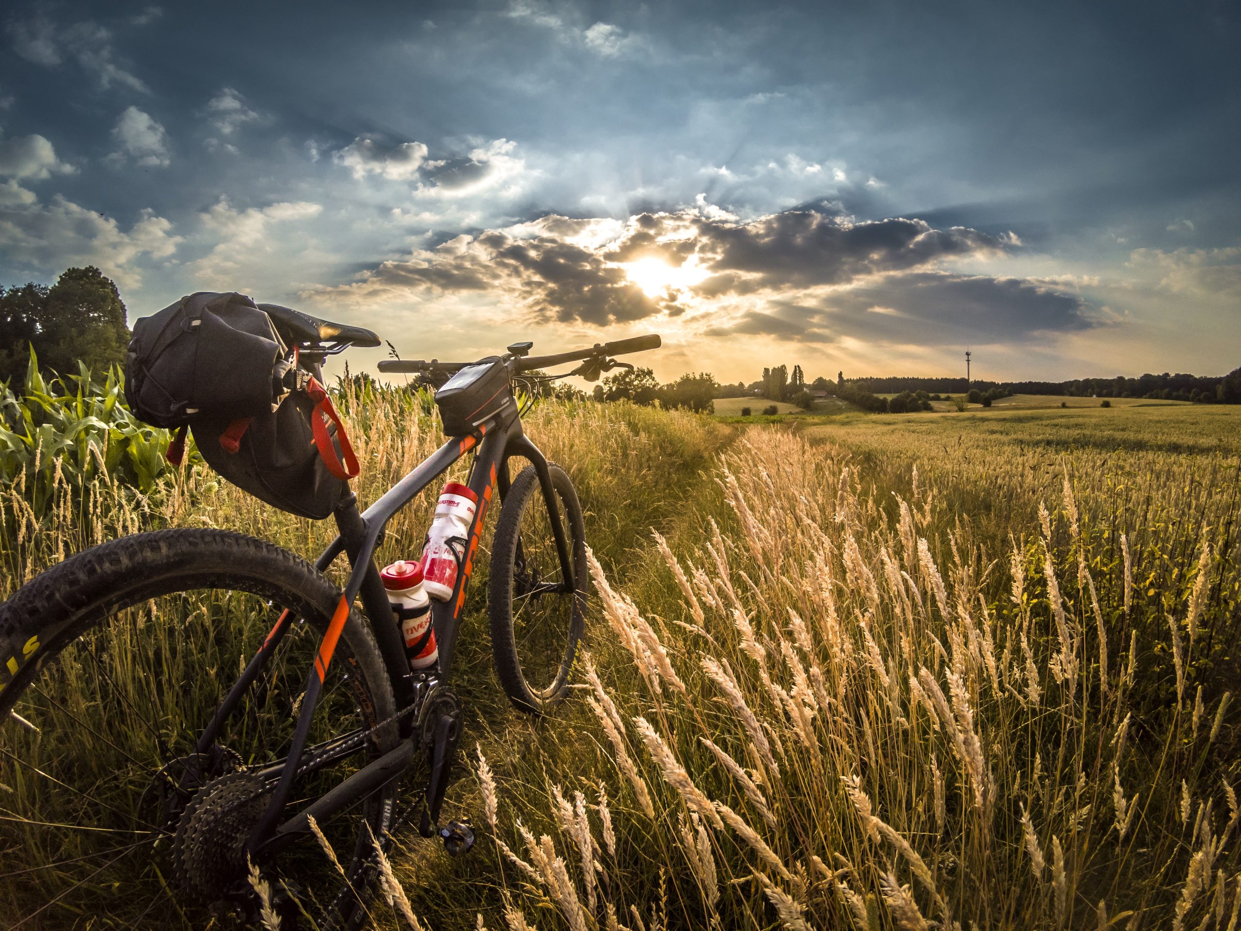
cyclable Rice paddies n.4 – on the rice roads
Route / Bike
MTB
Vercelli – Pizzarrosto – Pezzana – Caresana – Pezzana – Prarolo – Vercelli
An ideal route to discover an area of authentic beauty surrounding the city of Vercelli: the Squared Sea, a pleasant loop itinerary dicirca 40 km that thoroughly explores the Vercelli Rice Fields area.
Difficulty: EASY
Distance: 44 km
average duration: 3 hours
departure altitude: 92 mt
arrival altitude: 94 mt
altitude difference: 2 mt
Route description
From Vercelli station, follow the bike lanes toward Corso Italia to Rione Cappuccini, then continue in the direction of Prarolo, skirting the bank of the Sesia River among poplar groves and rice paddies. At the fork, head toward Palestro to reach the famous “locks,” a series of jumps with which the Sesia River overcomes a drop of about 10 meters. After passing the hamlet of Pizzarrosto, continue to the village of Pezzana. Passing first Tenuta Valgioja and then Cascina Bellincontro, you reach Caresana, famous for the centuries-old tradition of the “Running of the Oxen,” shared with the neighboring municipality of Asigliano, which finds its origins in 1236 and whose origin is now attributed to the stage of return to the village that followed the procession in honor of St. George. Also noteworthy are the majestic parish church of San Matteo and the Church of San Giorgio with the chapel of the SS. Annunziata. Returning toward Pezzana, we
continue on to Prarolo, home to one of the best-preserved castles in the Vercelli area dating back to the end of the 14th century. Built by the Benedictines of the Abbey of Santo Stefano di Vercelli, it is characterized by a cylindrical tower and a quadrangular one with conspicuous machicolations. Also worth mentioning is the Parish Church of Our Lady of the Assumption, rebuilt in 1628 and enlarged in the early 20th century, which contains an 18th-century canvas originally painted by Beaumont. Particular then is the public fountain with its incessant jet, also known as the “chita mai.” To return to Vercelli, retrace the bike paths back to the starting point.
Recommended period: spring and autumn
Type of terrain: dirt and asphalt
Other paths
recommended
The Vercelli area by bicycle has so much to offer!
Explore all the pleasant loop routes and set out to discover the Vercelli rice lands on two wheels.
cyclable rice paddies n. 5 – the grange itinerary
Route / Bike
MTB
Vercelli – Casalrosso – Lucedio – Montarolo – Fontanetto Po – Palazzolo V.se – Trino – Saletta – Asigliano – Vercelli
An ideal route to discover an area of authentic beauty surrounding the city of Vercelli: a loop itinerary of about 50 km that leads to the heart of the Grange Vercellesi area, which, thanks to the work of Cistercian monks, saw the first rice cultivation in Italy in the 15th century.
Difficulty: medium
Distance: 52 km
Average duration: 5-6 hours
D- : 135 mt
D+ : 135 mt
altitude difference: 0 mt
Route Description
From the Vercelli station, follow the Viale Garibaldi bike path, Via Paggi and Via Trino to leave the city in the direction of Crescentino, passing through the village of Casalrosso. Then continue on the Strada delle Grange (lit. Granaries), which takes its name from the ancient housing units that arose on uncultivated and forest-covered land on which the Cistercian monks carried out reclamation works to turn them into productive areas. The Grange rise out of the water like small islands, and it is to one of the most fascinating Grange that one arrives just past the crossroads to Darola: the Principality of Lucedio and the Abbey of Santa Maria built in 1123. Honorable mention deserves the Principality, since in the first half of the 15th century it was the Cistercians of Lucedio who first introduced rice cultivation to Italy. Having passed the sanctuary of Madonna delle Vigne and its sinister atmosphere, we continue to the village of Montarolo, skirting the Bosco delle Sorti forest of the Partecipanza di Trino,
a rare example of a lowland forest, which gives us a previously unseen image of the Po Valley in days gone by. When you then reach Montarolo, you can shorten the route by 25 km by continuing in the direction of Trino, or continue to Crescentino by rejoining the Strada delle Grange and You deviate by following the signs for San Genuario and the Nature Reserve of the marsh of the same name. Once through the village, you reach the hamlet of Monticelli, where you follow in the direction of Trino, and then continue following the signs for Asigliano V.se. After crossing the town of Asigliano, continue in the direction of Vercelli to return to the starting point.
Recommended period: spring and autumn
Type of terrain: dirt and asphalt
Other paths
recommended
The Vercelli area by bicycle has so much to offer!
Explore all the pleasant loop routes and set out to discover the Vercelli rice lands on two wheels.
cyclable rice paddies n. 6 – castles, rice fields and lakes
Route / Bike
MTB
Vercelli – Olcenengo – Vettignè – Santhià – Cavaglià – Lago di Viverone – Tronzano – Crova – Vercelli
An ideal route to discover an area of authentic beauty around Vercelli: a ring route of about 80 km that explores through the Vercelli rice fields, approaches the Via Francigena that reaches Santhià and leads up to the waters of Lake Viverone.
Difficulty: medium
Distance: 77 km
Average duration: 6 hours
D+: 306 mt
D-: 306 mt
altitude difference: 0 mt
Route Description
From the Vercelli train station, take the Corso Gastaldi overpass, Via Donato, and follow for the small town of Olcenengo. After crossing the village, continue in the direction of Casanova Elvo, until you reach the hamlet of Vettignè, from which you can see the silhouette of the eponymous castle of medieval origin looming over the rice fields. The hamlet of Vettignè, built in the 15th century at the crossroads between the Via Svizzera and the Via Francigena, retains traces of that historical period in its name: in fact, the toponym of Vettignè derives from vectigal, that is, the duty required of wayfarers to obtain the right of passage. Resuming the road, we soon reach Santhià: the town is worth a stop if only to admire the Collegiate Church of Sant’Agata, inside which is preserved a well-known polyptych by Giovenone, with its 12th-century Roman bell tower. From the first spring sunshine to mild autumn days, it is then not uncommon to catch a glimpse of some pilgrims venturing along the Via Francigena that leads from Canterbury to Rome, a total of more than 3,000 km. On the Santhià bypass, follow the signs for
Biella to Cavaglià where you follow the direction to Viverone. From a distance you can make out Roppolo, which, with its castle and church, is also a key stop on the Via Francigena. The route then continues overlooking Lake Viverone, the third largest in Piedmont shared between the provinces of Turin, Biella and Vercelli, and skirting it for 5 km reaches Alice Castello, then continues in the direction of Tronzano V.se. In this stretch the Naviglio di Ivrea, Depretis Canal and Cavour Canal, essential sources for rice cultivation in the Vercelli area, intersect. From here, you pass through the villages of Crova and Salasco, with its lake a destination for fishing enthusiasts, and then rejoin the SP11 at Cascine Strà, from where you then follow the signs back to the starting point.
Recommended period: spring and autumn
Type of terrain: dirt and asphalt
Other paths
recommended
The Vercelli area by bicycle has so much to offer!
Explore all the pleasant loop routes and set out to discover the Vercelli rice lands on two wheels.
cyclable rice paddies N. 7 – from rice lands to wine lands
Route / Bike
MTB
VERCELLI- OLCENENGO-CASANOVA ELVO-BALOCCO ROVASENDA-GATTINARA-GHEMME-FARA NOVARESE-SIZZANO-SAN NAZZARO SESIA-VILLATA-VERCELLI
Difficulty: medium
Distance: 17 km
average duration: 2 hours
departure altitude: 1411 mt
arrival altitude: 1741 mt
altitude difference: 360 mt
Route Description
From the Vercelli train station, take the Corso Gastaldi overpass and follow to Olcenengo and Casanova Elvo, where you can admire the pre-12th-century castle and the majestic Church of S. Martino in the main square. Follow to Formigliana, taking some time to observe the Monte Rosa Massif that frames the ancient farmsteads along the way. Crossing the Cervo stream, you continue on to Balocco, where you can admire the 15th-century castle and the Church of San Michele, inside which a triptych by Giovenone is preserved; you then pass through the villages of San Giacomo Vercellese and Rovasenda, respectively, to continue on to Gattinara. A stop here is a must, to visit the town and its surroundings, on whose hills the DOCG wine of the same name is produced. The town center features important historic-artistic buildings, such as the Parish of St. Peter, dating from the early medieval period, and the Castelle Tower, which dominates the town from the surrounding hills.
We continue the route by crossing the Sesia River and reaching Romagnano Sesia, passing to the left orographic bank, entering the territory of the Novara hills. Here in succession we encounter Ghemme, Sizzano and Fara, a hilly region producing excellent DOC wines. Approaching the Sesia again, we pass Carpignano and Landiona, to arrive at the towns of Recetto and San Nazzaro Sesia, which present, respectively, the historic village with its ancient castle and 13th-century walls and the Abbey of SS. Nazario and Celso, an example of medieval fortified abbeys, dating back to the 11th century. From here it continues past the towns of Villata and Borgo Vercelli, returning to the city of Vercelli.
Recommended period: spring and autumn
Terrain type: asphalt
Other paths
recommended
The Vercelli area by bicycle has so much to offer!
Explore all the pleasant loop routes and set out to discover the Vercelli rice lands on two wheels.