via francigena
Route / Trekking
via francigena
Route description
DEVOTIONAL ROUTE
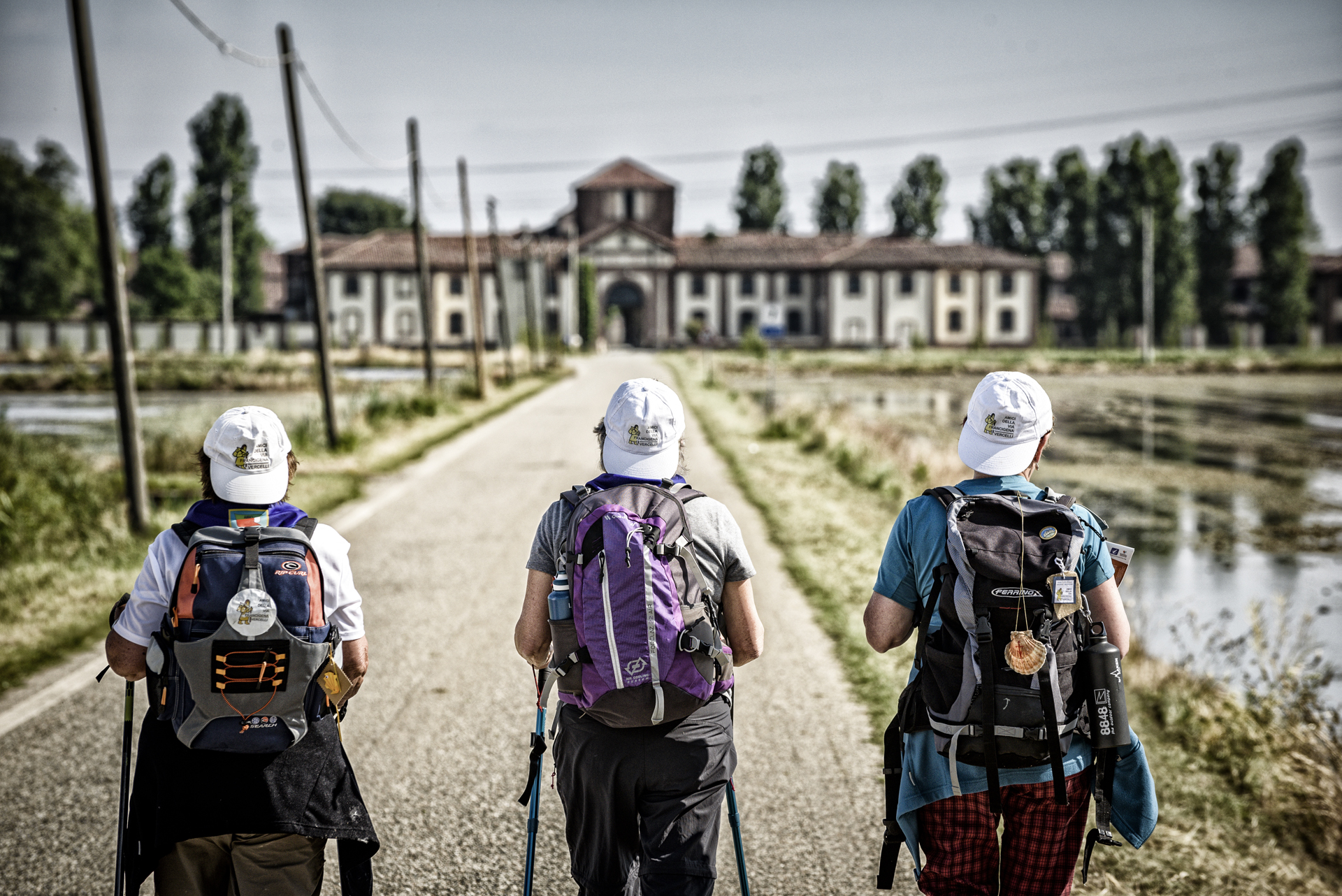
THE VIA FRANCIGENA – SIGERIAN ROUTE
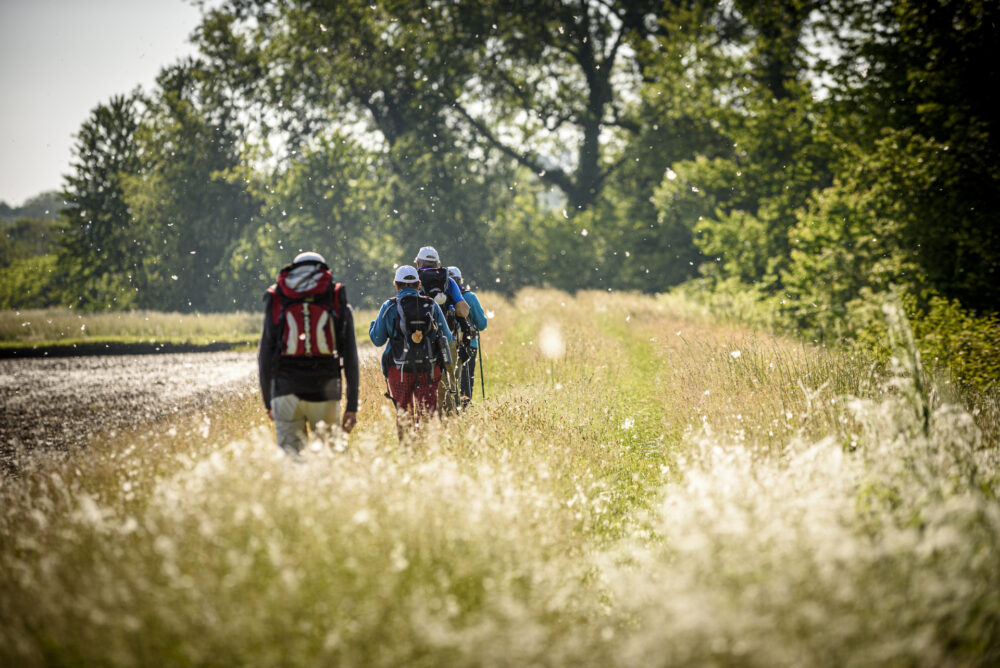
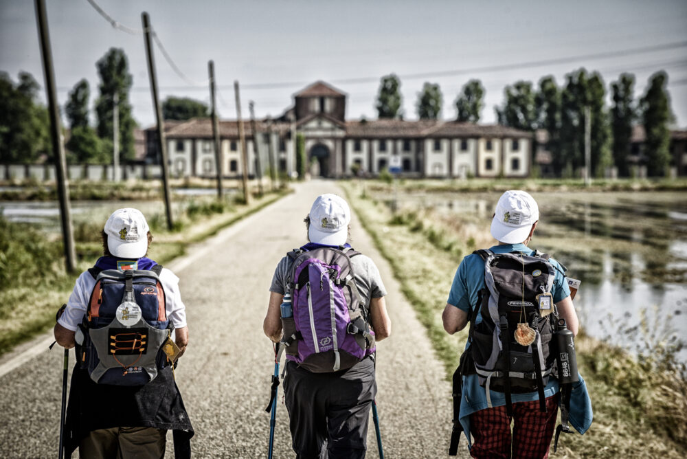
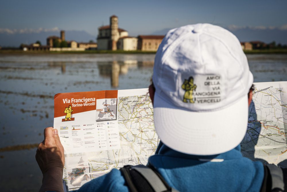
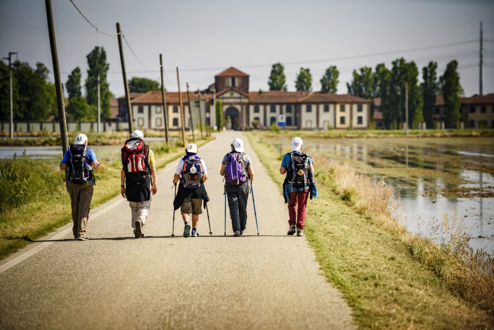
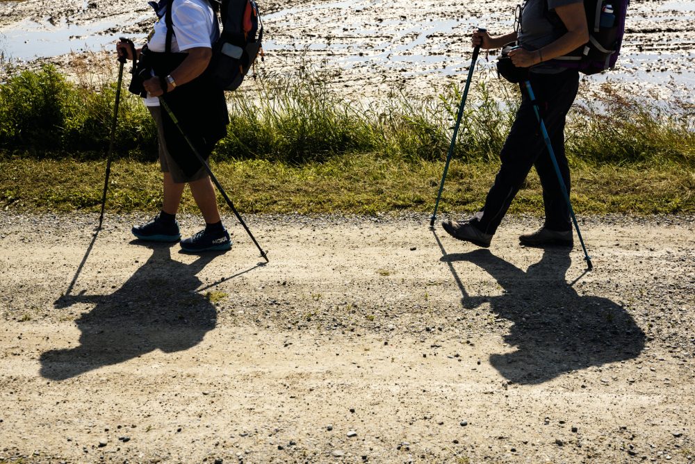
The Via Francigena is a system of branched routes that unites the peoples and cultures of Europe, touching five states, 16 regions, and more than 600 municipalities.
The Sigeric Itinerary refers to the route described by the Archbishop of Canterbury, who traveled to Rome in 990 to receive the pallium, symbol of archiepiscopal dignity, from Pope John XV.
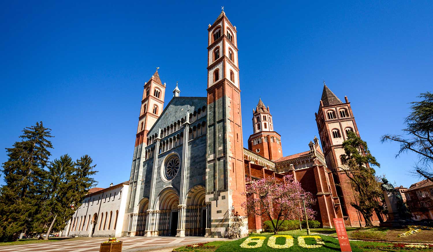
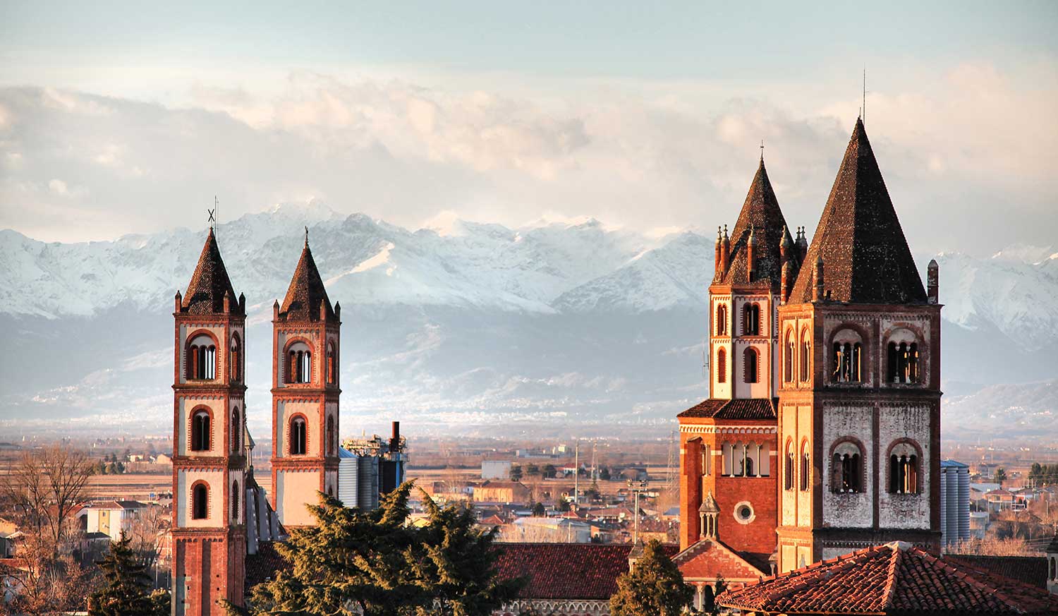
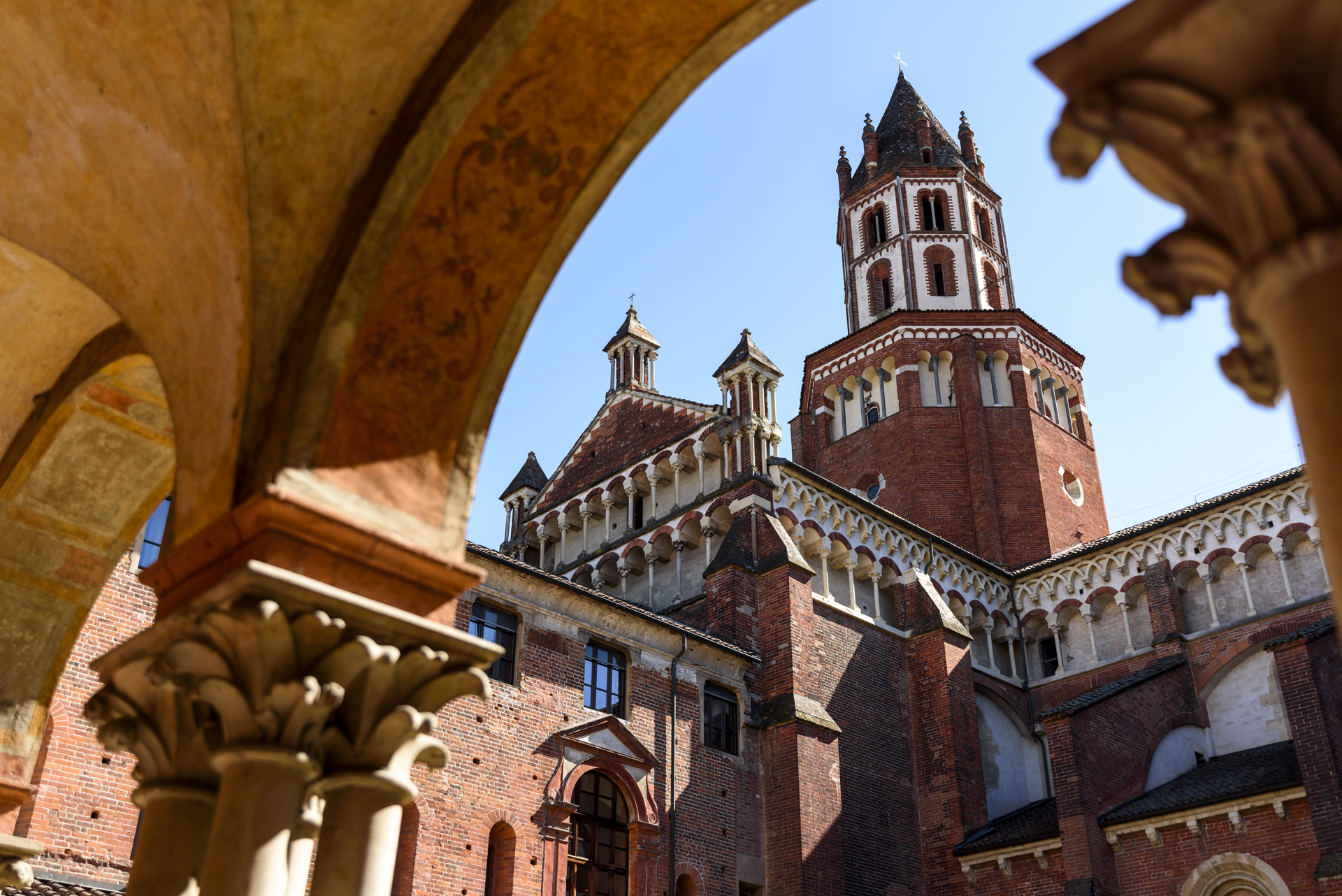
Vercelli, in the list of 80 stops cited by the archbishop, appears as the 43rd point, a sort of “halfway point” of the devotional journey. To welcome pilgrims on their journey and provide them with refreshments, Cardinal Guala Bicheri commissioned the city’s first hospital, built directly across from the Basilica of Sant’Andrea, which he himself had commissioned in 1219.
Every year, Vercelli welcomes countless pilgrims from around the world to travel the historic Via Francigena, receive the city stamp for their passports, and rest at the Hospitale Sancti Eusebi before continuing their journey!
ITINERARY IN THE PROVINCE OF VERCELLI
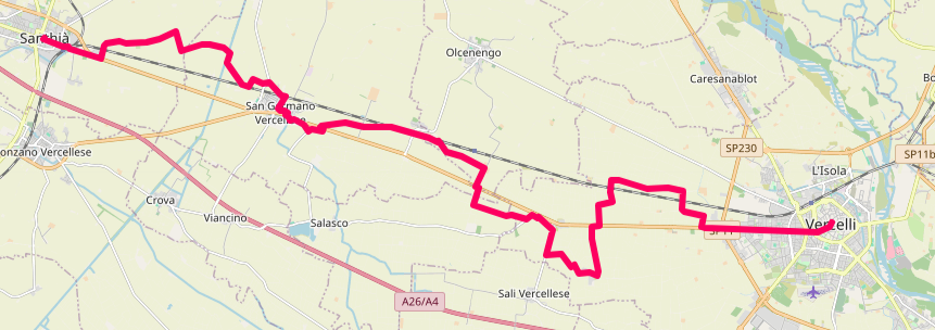
Coming from the Province of Biella (Viverone/Cavaglià), you enter the Vercelli region, with Santhià as the first stop in the province.
Santhià – San Germano – via Olgenengo – Cascine Strà – Montonero – Vercelli. Total route length: 29 km.
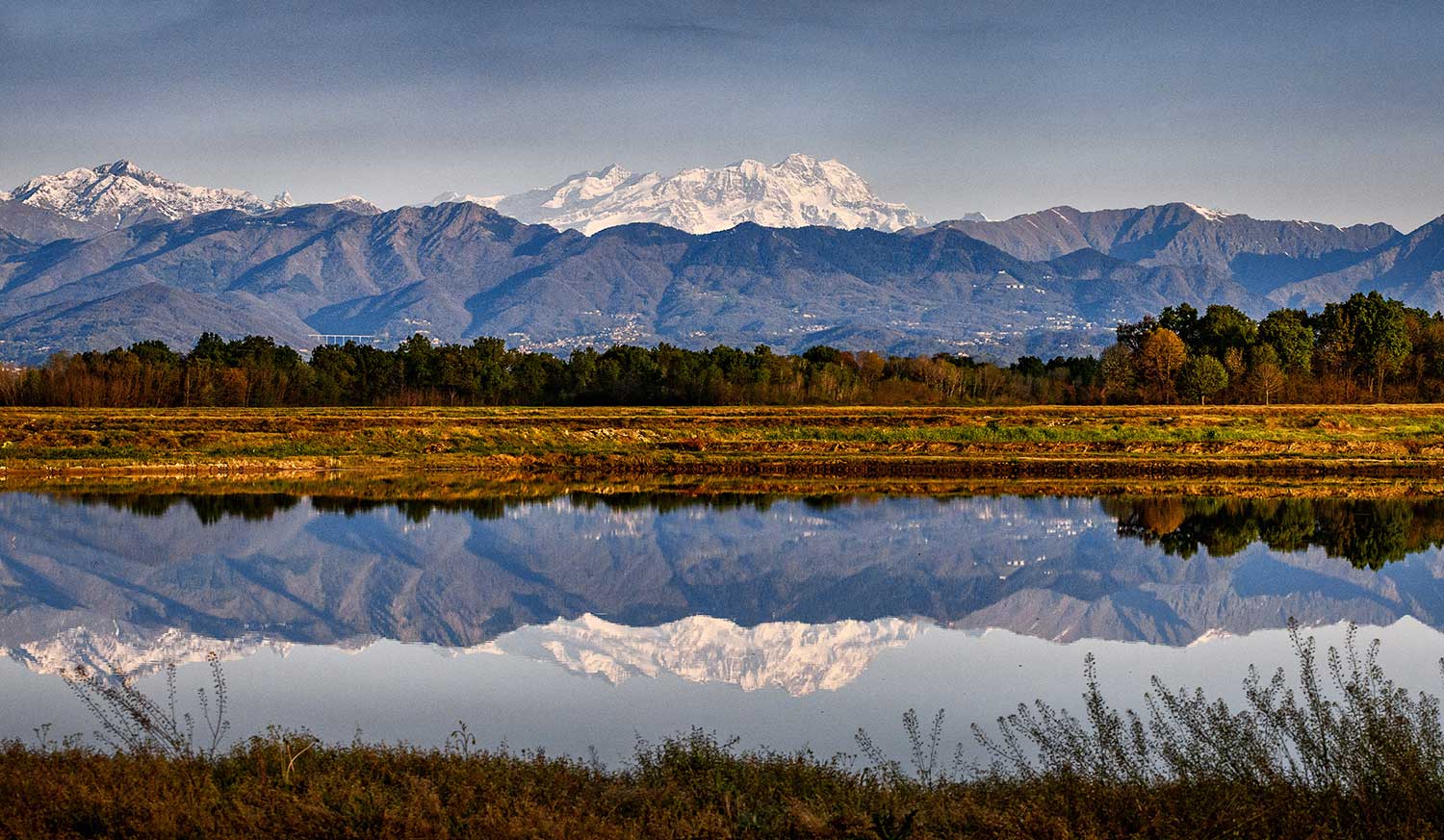
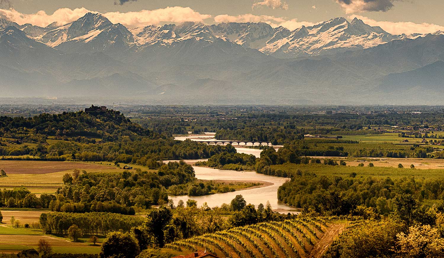
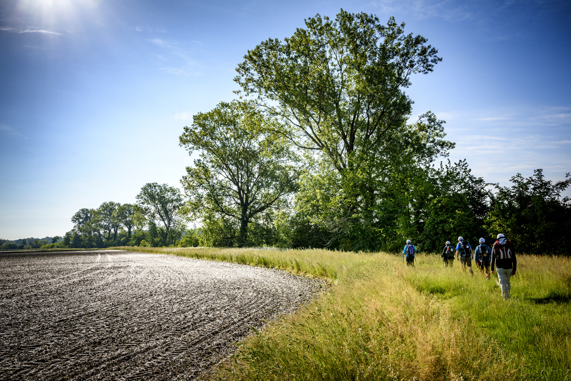
Leaving Vercelli, following the banks of the Sesia River, through poplar groves and rice paddies, you enter Lombardy, in the province of Pavia.
Other routes
recommended
Valsesia has a lot to offer to hiking enthusiasts
Suggestive trails surrounded by nature that offer breathtaking views: be surprised by the beautiful mountains of Valsesia!
how to get there
info and contacts
Associazione AMICI DELLA VIA FRANCIGENA
Mera bike path
Route / Bike
MTB
Mera bike path
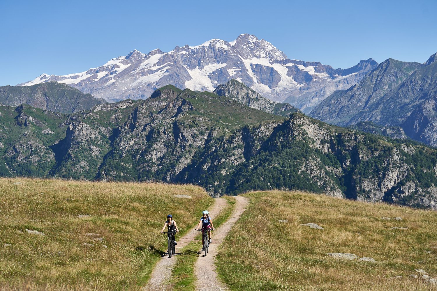
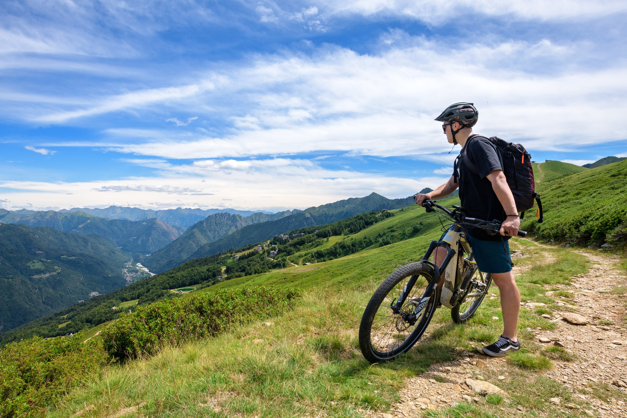
Loop bicycle and pedestrian route that crosses the most picturesque and panoramic points of Alpe di Mera, with views of Valsesia and Monte Rosa.
Difficulty: EASY
Distance: 4.3 km
average duration: 1.5 hours
LOWEST POINT: 1511 mt
HIGHEST POINT: 1648 mt
altitude difference: 136 mt
Route description
The trail begins in front of the Scopello-Mera chairlift arrival, where signs guide to Alpe Campo, initially on asphalt road through the village, then on dirt road. From here begins a gradual ascent on trail to Pian d’Asnin. At this point, route 2A meets number 2 (the Mera-Meggiana-Rassa bike path). Signs indicate to ride it in the opposite direction and then at the fork to turn left towards the village of Mera. This section is wide, scenic and almost flat until you reach Boschetto, where a quick descent brings you back to the starting point.
Directions to follow
Yellow signage with stylized cyclist and number 2a from the chairlift station to Alpe Campo and Pian d’Asnin. Yellow signage with stylized cyclist and number 2 from the Pian d’Asnin-cycleway 2 Mera-Meggiana-Rassa intersection (follow the directions in the opposite direction from that indicated by the arrows).
Come arrivare
Info e contatti utili
To reach the start of the route take the Valsesia SP 299 to Scopello, where you can park your car for free in the Piazzale Seggiovie and take the chairlift up to Mera on opening days (see https://www.alpedimera.it/).
Alternatively, you can reach Mera by car from Scopello (9 km). High-altitude parking lots for a fee.
Other paths
recommended
Discover the bike trails Valsesia has to offer!
Bike and mountain bike tours among Valsesia’s breathtaking views.
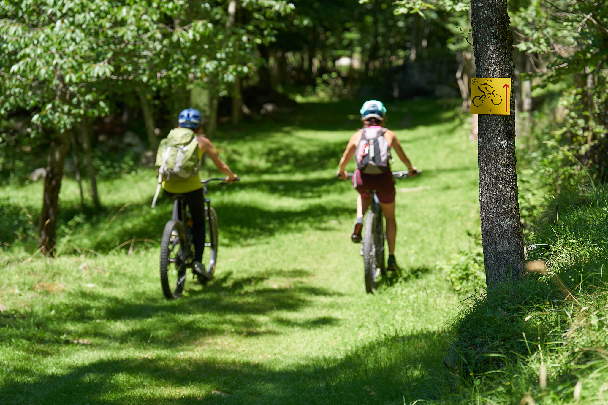
Bike path BORGOSESIA – VARALLO
Route / Bike
MTB
Bike path BORGOSESIA – VARALLO
Route linking two main centers of Valsesia, from Borgosesia to Varallo, capital of art and culture.
Difficulty: EASY
Distance: 17 km
average duration: 1.5 hours
altitude HIGHEST: 501 mt
altitude LOWEST: 356 mt
altitude difference: 176 mt
Route Description
The official starting point is at the cemetery in Borgosesia, where you can park your car in the two large squares. Alternatively, it is possible to start from the city center. The route passes through the village of Caggi, travels along the road in the fields of Rozzo and Caneto, and enters the woods where it meets route 4a Guardabosone-Borgosesia. The two routes at this point become one, which, after crossing the entire forest, reaches the outskirts of Quarona in the Badia area.
After crossing SP 8 and the railroad footbridge, continuing north, you reach the town of Quarona.
From here, following the signs, you pass the sports field and reach the built-up area. Crossing SP 8 again, you take the road to Cilimo where, after about a kilometer, signs invite you to turn left. The path here is a charming cobblestone road that first runs alongside some small chapels and then enters the fields to Pianpresello.
The carriage road from Civiasco (SP 78) leads all the way to Varallo, to the Sacro Monte cable car departure station, through the most characteristic part of the town of Varallo and its historic districts.
Other paths
recommended
Discover the bike trails that Valsesia has to offer!
Bike or MTB tours among breathtaking landscapes in the nature of Valsesia.
CYCLING from GUARDABOSONE to VARALLO
Route / Bike
MTB
CYCLING from GUARDABOSONE to VARALLO
From Guardabosone to Varallo, capital of culture in Valsesia. The route coincides, in the Vanzone-Varallo section, with the number 4.
Difficulty: easy
Distance: 19 km
average duration: 2 hours
highest elevation: 501 mt
lowest altitude: 364 mt
altitude difference: 250 mt
Route Description
From the square of Guardabosone, the route descends to Agnona via the Bocchetto road, crosses it and heads to Isolella and then crosses SP 299, the bridge over the Sesia and SP 8.From here, going up the small road of the old Isolella station, it reaches the village of Vanzone and enters a picturesque forest. where it joins up with route 4 Borgosesia-Varallo, with which it will share the rest of the route. After passing through the entire forest, it reaches the outskirts of Quarona in the Badia area. After crossing SP 8 and the railroad footbridge, continuing northward, it reaches the village of Quarona.
After a short stretch along SP 8, the route turns left, and passing through the innermost wards of the municipality, again passes the railroad tunnel and continues downhill on the dirt road toward the Sesia. Once you pass, passing underneath, the SP 299 overpass, you enter the woods leading to the industrial area of Roccapietra.
From here, following the signs, you pass the sports field and arrive in the built-up area. Crossing SP 8 again, you take the road to Cilimo where, after about a kilometer, signs invite you to turn left. The path here is a charming cobblestone road that first runs alongside some small chapels and then enters the fields to Pianpresello.
The carriage road from Civiasco (SP 78) leads all the way to Varallo, to the Sacro Monte cable car departure station, through the most characteristic part of the town of Varallo and its historic districts.
Other routes
recommended
Discover the bike trails that Valsesia has to offer!
Bike or MTB tours among breathtaking landscapes in the nature of Valsesia.
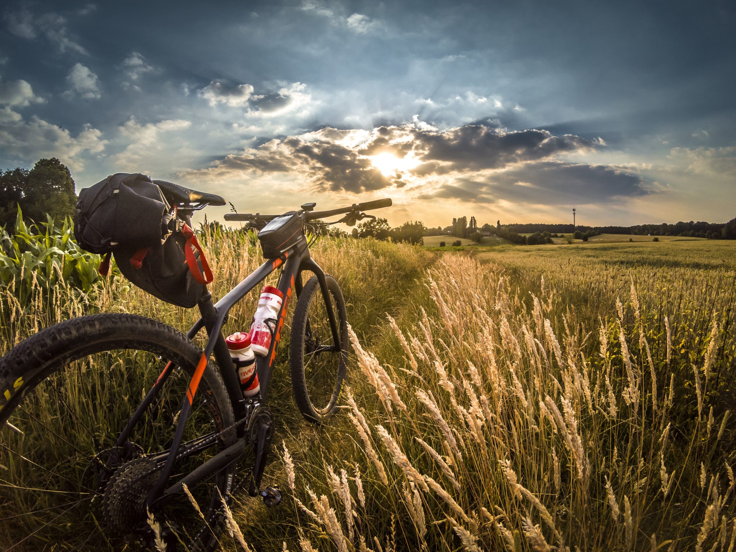
Cyclable rice paddies n.1 – vercelli and surroundings
Route / Bike
MTB
Vercelli – Montonero – sali v.se – Casalrosso – larizzate – Vercelli
An ideal route to discover an area of authentic beauty surrounding the city of Vercelli: the Squared Sea, a pleasant 27-km loop route that thoroughly explores the Vercelli Rice Fields area.
Difficulty: easy
Distance: 26 km
average duration: 2 hours
departure altitude: 58 mt
arrival altitude: 58 mt
altitude difference: 30 mt
Route Description
Departing from the Vercelli train station, follow the bike paths of Corso Italia, Corso Palestro and Viale Rimembranza until you leave the city, heading towards Cascina Vecchia, leaving the asphalt and skirting the airport runways. After reaching Cascina Torrione, leaving the dirt road, you reach Cascina Boschine, currently used in part by students of the Ferraris Agricultural Institute of Vercelli for educational and field research activities. You then cross the small hamlet of Carengo, passing Cascina Aramino and then Cascina Castellazzo and Cascina Ferla. Skirting the “roggia del molino,” we reach the vicinity of Larizzate where, taking Via Nino Bixio, we can observe the church of Maria SS. Assunta. From here comes a document, dated August 27, 1493, which, for the first time, reports the cultivation of rice in the Vercelli area. In the surroundings of the
town is a 12th-century castle of which, to this day, a portion of the wall and 2 towers remain. After passing Cascina Varola, through a grassy road that becomes a path, you first pass Cascina Angossa, then Cascina Angossetta. A short distance away is Cascina Boraso, an important example of a 19th-century farmstead that in 1932 became the primary headquarters of the Experimental Station for Rice Growing and Irrigated Cultivation. Return to town via Strada Olcenengo, then follow Via Gran Paradiso, Via Monviso until it crosses C.so Giovanni Gastaldi and returns to the starting point, in Piazza Roma, railway station area.
Recommended period: spring and autumn
Terrain type: dirt and asphalt
Other routes
recommended
The Vercelli area by bicycle has so much to offer!
Explore all the pleasant loop routes and set out to discover the Vercelli rice lands on two wheels.
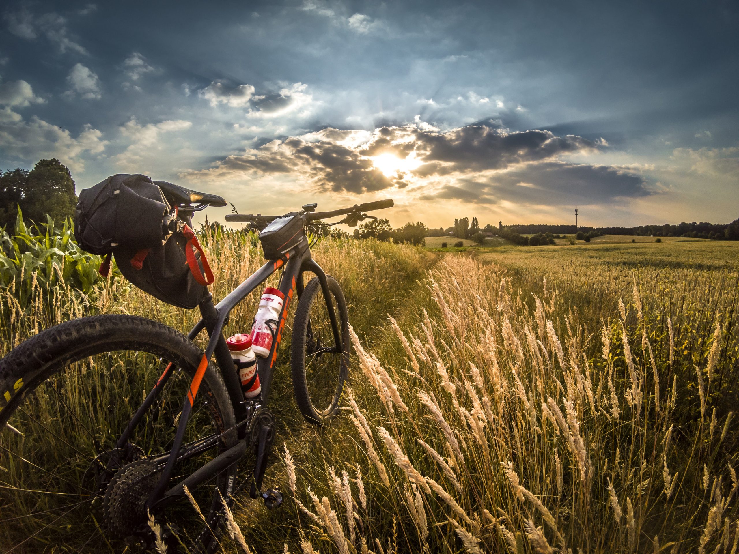
cyclable Rice paddies n.4 – on the rice roads
Route / Bike
MTB
Vercelli – Pizzarrosto – Pezzana – Caresana – Pezzana – Prarolo – Vercelli
An ideal route to discover an area of authentic beauty surrounding the city of Vercelli: the Squared Sea, a pleasant loop itinerary dicirca 40 km that thoroughly explores the Vercelli Rice Fields area.
Difficulty: EASY
Distance: 44 km
average duration: 3 hours
departure altitude: 92 mt
arrival altitude: 94 mt
altitude difference: 2 mt
Route description
From Vercelli station, follow the bike lanes toward Corso Italia to Rione Cappuccini, then continue in the direction of Prarolo, skirting the bank of the Sesia River among poplar groves and rice paddies. At the fork, head toward Palestro to reach the famous “locks,” a series of jumps with which the Sesia River overcomes a drop of about 10 meters. After passing the hamlet of Pizzarrosto, continue to the village of Pezzana. Passing first Tenuta Valgioja and then Cascina Bellincontro, you reach Caresana, famous for the centuries-old tradition of the “Running of the Oxen,” shared with the neighboring municipality of Asigliano, which finds its origins in 1236 and whose origin is now attributed to the stage of return to the village that followed the procession in honor of St. George. Also noteworthy are the majestic parish church of San Matteo and the Church of San Giorgio with the chapel of the SS. Annunziata. Returning toward Pezzana, we
continue on to Prarolo, home to one of the best-preserved castles in the Vercelli area dating back to the end of the 14th century. Built by the Benedictines of the Abbey of Santo Stefano di Vercelli, it is characterized by a cylindrical tower and a quadrangular one with conspicuous machicolations. Also worth mentioning is the Parish Church of Our Lady of the Assumption, rebuilt in 1628 and enlarged in the early 20th century, which contains an 18th-century canvas originally painted by Beaumont. Particular then is the public fountain with its incessant jet, also known as the “chita mai.” To return to Vercelli, retrace the bike paths back to the starting point.
Recommended period: spring and autumn
Type of terrain: dirt and asphalt
Other paths
recommended
The Vercelli area by bicycle has so much to offer!
Explore all the pleasant loop routes and set out to discover the Vercelli rice lands on two wheels.
cyclable rice paddies N. 7 – from rice lands to wine lands
Route / Bike
MTB
VERCELLI- OLCENENGO-CASANOVA ELVO-BALOCCO ROVASENDA-GATTINARA-GHEMME-FARA NOVARESE-SIZZANO-SAN NAZZARO SESIA-VILLATA-VERCELLI
Difficulty: medium
Distance: 17 km
average duration: 2 hours
departure altitude: 1411 mt
arrival altitude: 1741 mt
altitude difference: 360 mt
Route Description
From the Vercelli train station, take the Corso Gastaldi overpass and follow to Olcenengo and Casanova Elvo, where you can admire the pre-12th-century castle and the majestic Church of S. Martino in the main square. Follow to Formigliana, taking some time to observe the Monte Rosa Massif that frames the ancient farmsteads along the way. Crossing the Cervo stream, you continue on to Balocco, where you can admire the 15th-century castle and the Church of San Michele, inside which a triptych by Giovenone is preserved; you then pass through the villages of San Giacomo Vercellese and Rovasenda, respectively, to continue on to Gattinara. A stop here is a must, to visit the town and its surroundings, on whose hills the DOCG wine of the same name is produced. The town center features important historic-artistic buildings, such as the Parish of St. Peter, dating from the early medieval period, and the Castelle Tower, which dominates the town from the surrounding hills.
We continue the route by crossing the Sesia River and reaching Romagnano Sesia, passing to the left orographic bank, entering the territory of the Novara hills. Here in succession we encounter Ghemme, Sizzano and Fara, a hilly region producing excellent DOC wines. Approaching the Sesia again, we pass Carpignano and Landiona, to arrive at the towns of Recetto and San Nazzaro Sesia, which present, respectively, the historic village with its ancient castle and 13th-century walls and the Abbey of SS. Nazario and Celso, an example of medieval fortified abbeys, dating back to the 11th century. From here it continues past the towns of Villata and Borgo Vercelli, returning to the city of Vercelli.
Recommended period: spring and autumn
Terrain type: asphalt
Other paths
recommended
The Vercelli area by bicycle has so much to offer!
Explore all the pleasant loop routes and set out to discover the Vercelli rice lands on two wheels.
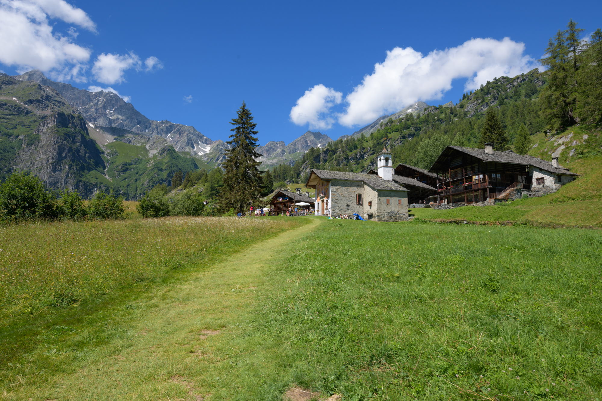
ALAGNA – Val d’Otro
Route / Trekking
Hikes
trail n. 203 val d’otro
Difficulty: medium – easy
average duration: 1 – 2 hours
departure altitude: 1191 mt
arrival altitude: 1664 mt
altitude difference: 510 mt
Route description
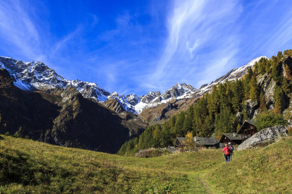
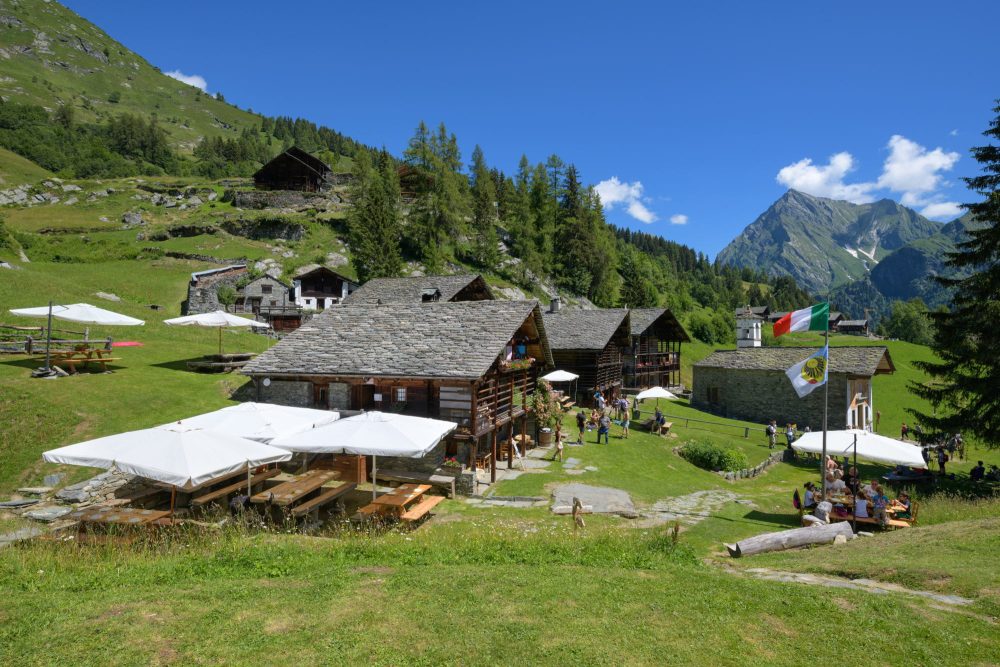
This trail is one of the classic and most beloved hiking trails in Valsesia. Reach the alpine landscape of Otro, of great cultural and naturalistic value, and enjoy the scenic beauty that this beautiful Valley can offer!
The route starts from the center of Alagna, at the Alagna Union. From here, continue to the left on the paved path that leads to the hamlet of Riale Superiore and, having crossed the carriage road, the trail begins: the Olterstiga, or Otro climb. Shortly after passing the Stiga cottage and leaving the path down to the Otro Boiler (Olter Chessi) on the left, you come to a characteristic fountain (located at the fork with path 203a to Dsender and Tailly Lakes).
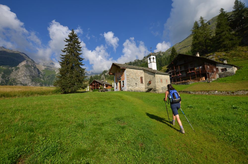
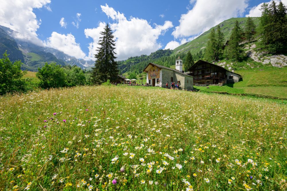
Ascend to the right, pass a chapel and with numerous zig zags arrive at the beautiful Conca di Otro, in front of the beautiful little church of Follu, 1664m (total about 1h30).
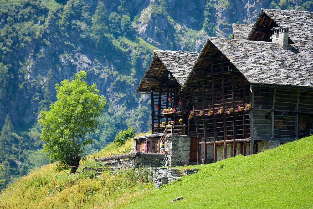
This is the first of the characteristic villages on the Otro plateau. Short paths branch off the mule track linking the villages of Follu, Felleretsch, Ciucche, Dorf, Scarpia and Weng. The Zar Senni hut, immediately after the chapel, offers hospitality in the summer season and during many weekends.Continuing through the villages and pastures, you can reach Alpe Pianmisura.
Other routes
recommended
Valsesia has a lot to offer to hiking enthusiasts
Suggestive trails surrounded by nature that offer breathtaking views: be surprised by the beautiful mountains of Valsesia!
how to get there
info and contacts
C.A.I. – Club Alpino Italiano di Varallo Sesia
RIVA VALDOBBIA, Fraz. Sant’Antonio – Alpe Larecchio
Route / Trekking
Hikes
trail n. 201a Peccia – Alpe Larecchio
Difficulty: medium – easy
average duration: 2 hours
departure altitude: 1380 mt
arrival altitude: 1895 mt
altitude difference: 515 mt
Route description
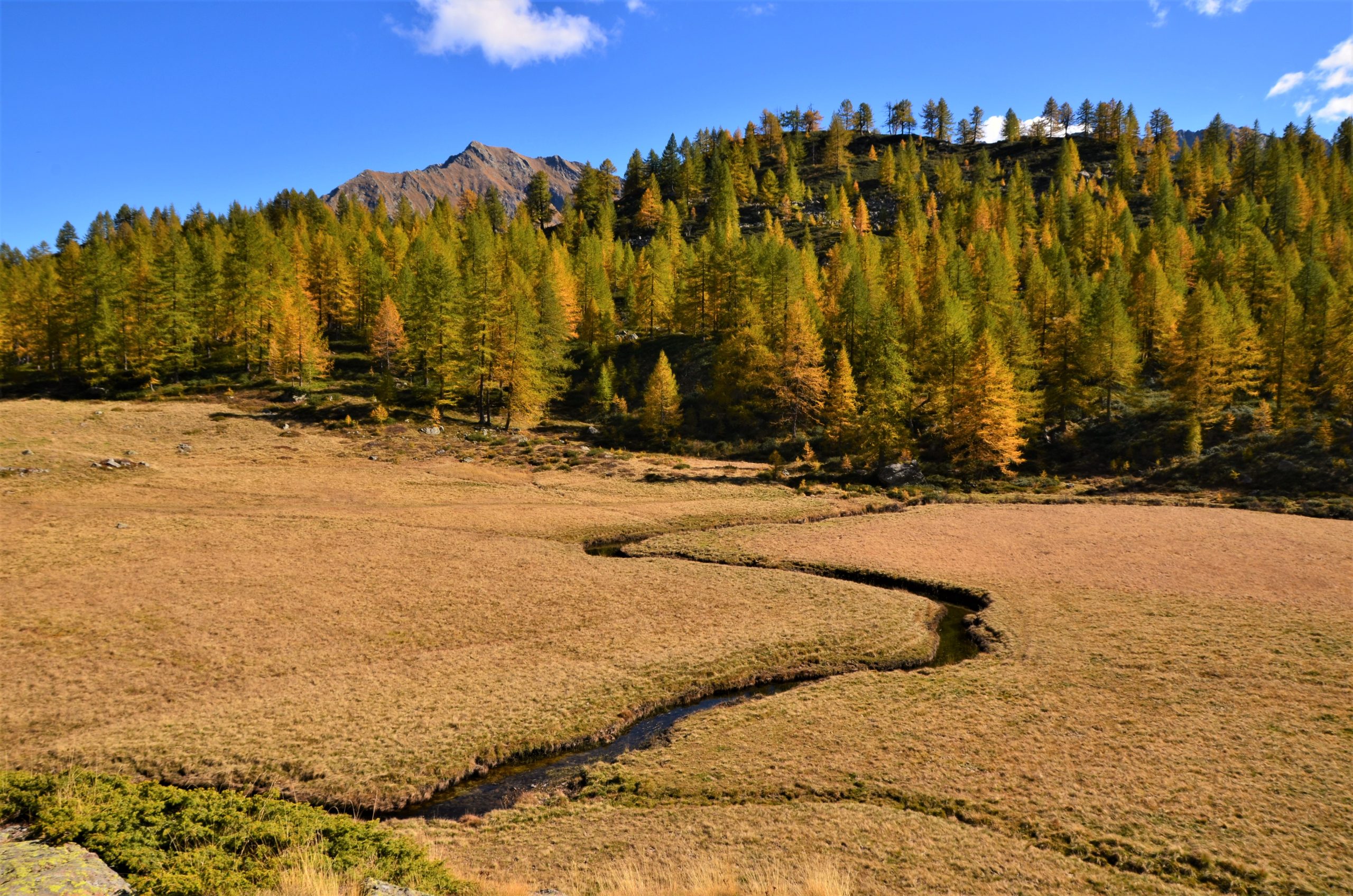
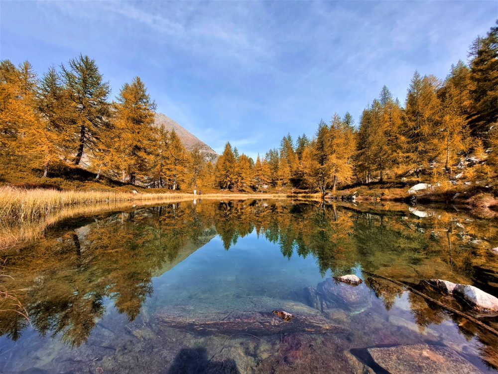
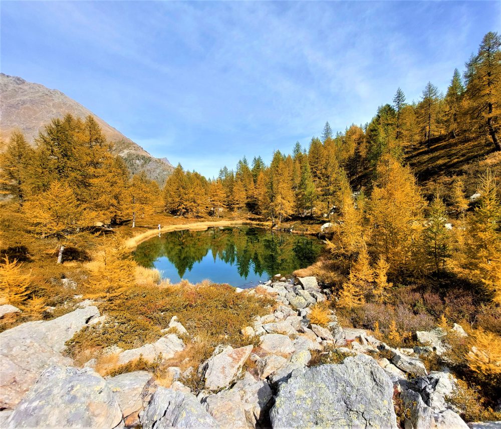
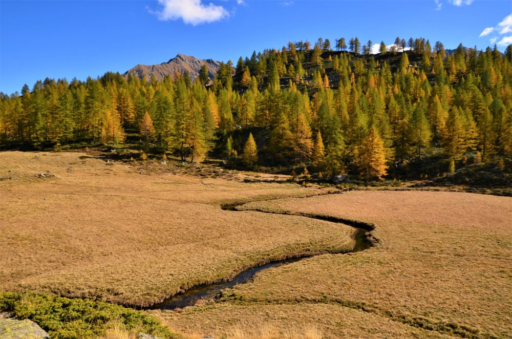
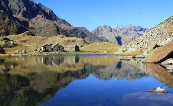
This route is one of the variants found on the way to the Valdobbia Pass, leading to Alpe Larecchio, one of the most beautiful pastures in Valsesia. Its small lake surrounded by larch trees and the wide plateau crossed by the distinctive serpentine created by the passage of the Valdobbia stream make it a beloved and fascinating destination, especially during the colorful fall season!
To reach the starting point of this itinerary, from the village of Riva Valdobbia you walk along the paved carriage road to the hamlet of Ca’ di Janzo, continuing then always on the road (partially subjected to transit restrictions, during the summer season) to the hamlet of Sant’Antonio, where you can park your car (arrival point of the Ca di Janzo – Sant’Antonio summer shuttle).
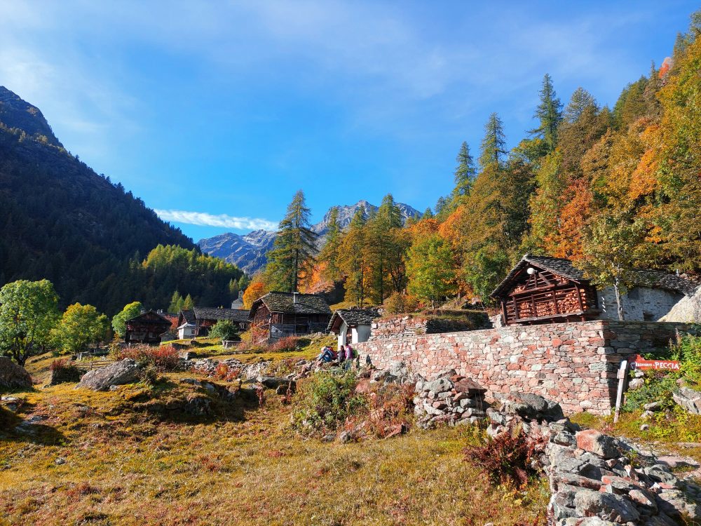
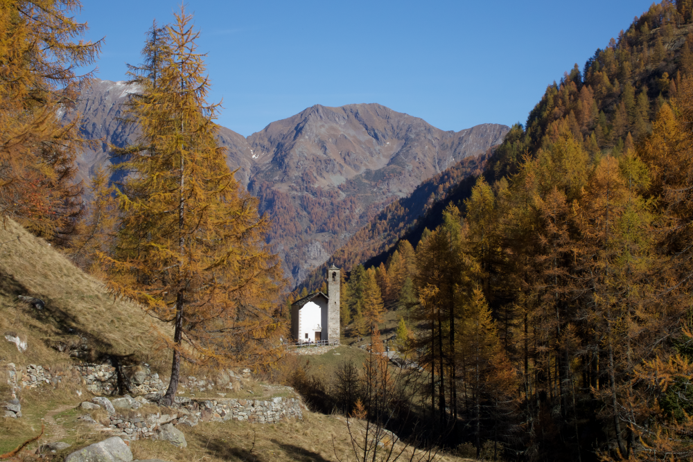
Starting on foot on the dirt road past the houses and the hamlet’s small church, follow the old route to Aosta with the 201 marker. At the end of the dirt road you reach the hamlet of Peccia, with its characteristic Walser houses and beautiful small lake. Continuing on the path to the right that passes between the small houses, just beyond the small church of the Oratory of San Grato, you pass the old Napoleonic-era bridge (reachable in about an hour from Sant’Antonio).
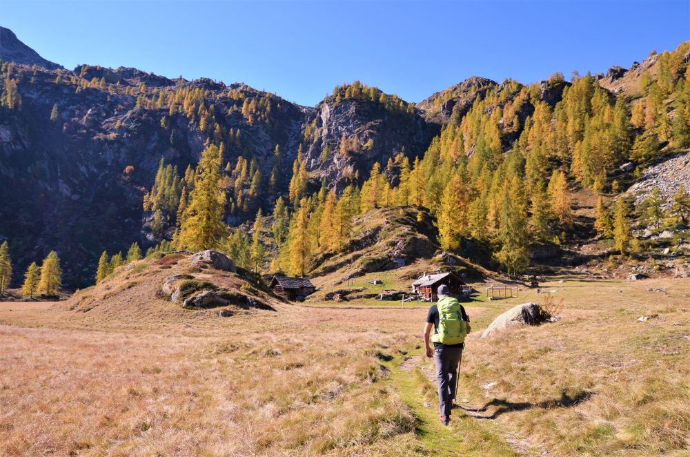
Then take the path that climbs to the right toward La Montata, 1638m, then reaches the two huts of Alpe Tecchiale, and climbs to the little Lancone chapel, 1739m. Further up, inside the larch forest, you reach the junction with the mule track to Colle Valdobbia, which you leave on the right. Then continue left along a good path in the larch forest that soon leads to Alpe Larecchio, 1895m (about 2 hours in total), a splendid and picturesque alpine pasture, which houses a farmhouse.
The origin of the name derives precisely from the many larch trees that surround the alp: one of these large trees stands on a large rock in the center of the basin, from which one can enjoy the special view of the wide plateau. Following the particular path of the small stream that crosses the alp, one can reach the charming little lake located a little higher up.
From the farm building, you can climb up to Pian del Celletto, at about 2100m (0.30-2.45 hours), where you will find the 201 trail leading to Ospizio Sottile again.
Other routes
recommended
Valsesia has a lot to offer to hiking enthusiasts
Suggestive trails surrounded by nature that offer breathtaking views: be surprised by the beautiful mountains of Valsesia!
how to get there
info and contacts
C.A.I. – Club Alpino Italiano di Varallo Sesia
Frazioni alte di MOLLIA
Route / Trekking
Passeggiate
TRAIL n. 282 Frazioni alte di Mollia
Difficulty: easy
average duration: 2 hours
departure altitude: 880 mt
arrival altitude: 952 mt
altitude difference: 72 mt
Route description
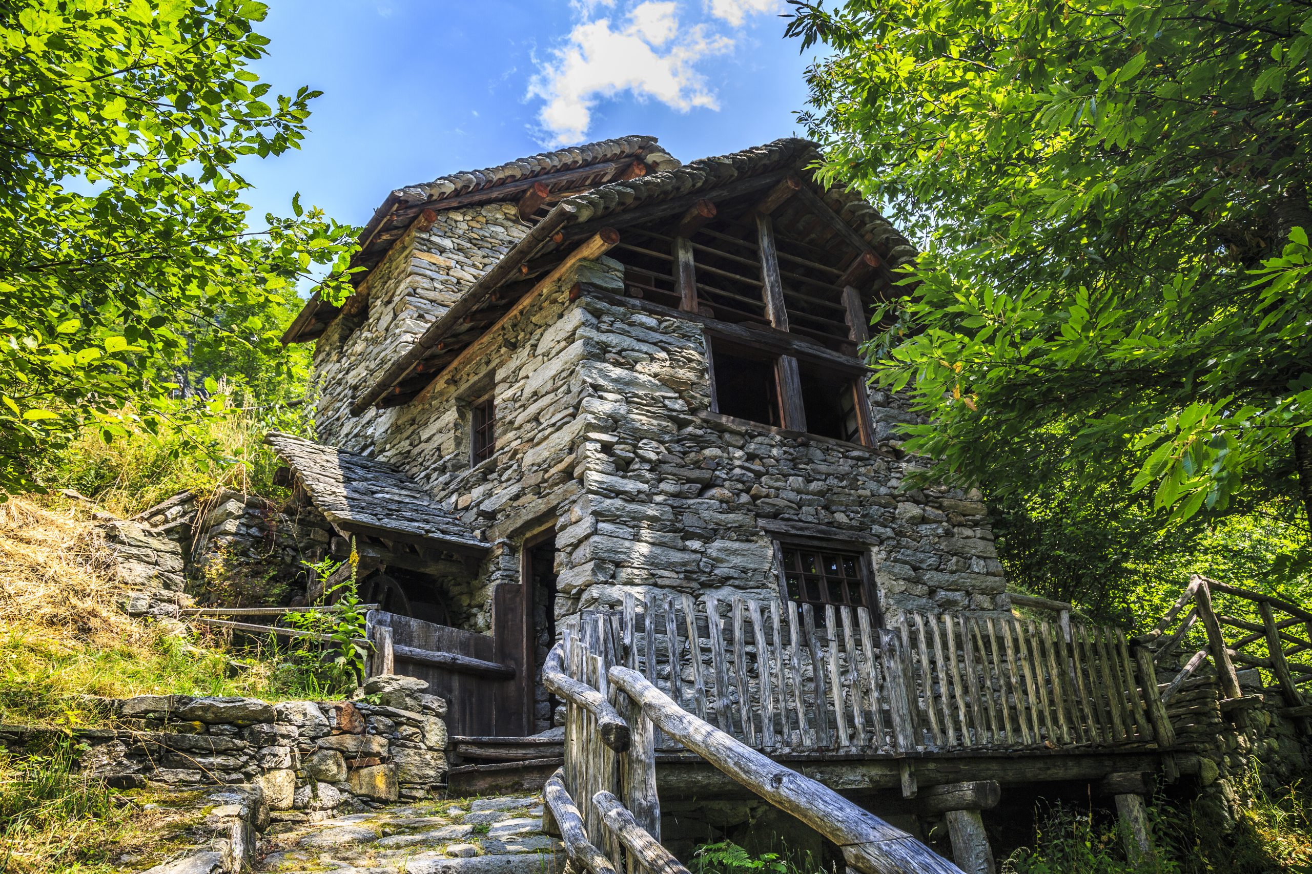
The itinerary largely follows the Mollia Art Trail and is of both scenic and cultural interest. It is partly on a mule track, partly on a trail, and connects Mollia to its upper hamlets.
The trail begins at the entrance to the village of Mollia, 880m, where you take the beautiful mule track that first flanks and then crosses the Croso Mazzantone canal and shortly reaches the hamlet of Grampa, 956m. Without entering the hamlet, follow the carriage road to the left and pass the niche of San Defendente with ancient frescoes and, immediately after the stream, take the mule track to the left. Crossing the Croso della Piana on the left, you climb to the hamlet of Piana Fontana, 972m. This hamlet is the site of the Mulino Fucina ecomuseum, the Madonna del Carmine oratory and the chapel of Sant’Agata. You leave the hamlet and continue uphill through the woods to reach the picturesque Croso della Giara, and then through beech and chestnut woods to the hamlet Piana Viana, 1065m (in about 45 minutes) located at the highest point of the itinerary, with its characteristic oratory.
Still on a mule track, you descend a short distance to the hamlet Piana Toni, 992m, in the middle of a clearing where you can observe the oratory of the Madonna della Neve and a wooden house, “cà d’ torba,” a testimony to ancient architecture.
You then continue on a path through the woods, passing at the base of a rock wall, and enter an area of large boulders (Sass dal Diau) climbing up to the junction for the “Falesia Cuore” climbing area.
After a flat section, the trail descends into a pasture and comes out on the provincial road upstream from the village of Casa Capietto, opposite Otra Sesia, located on the opposite side of the river.
From here, crossing the Sesia River on the bridge and following the bike path on the right bank, you can easily return to the village of Mollia.
This is a route with modest elevation differences that can be ridden indifferently in both directions in approximately the same amount of time.
Other routes
recommended
Valsesia has a lot to offer to hiking enthusiasts
Suggestive trails surrounded by nature that offer breathtaking views: be surprised by the beautiful mountains of Valsesia!

how to get there
info and contacts
C.A.I. – Club Alpino Italiano di Varallo Sesia
CAMPERTOGNO, Fraz. Tetti – Alpe Argnaccia – Punta Sivella
Route / Trekking
Hikes
TRAIL n. 278 Campertogno, fraz. Tetti – Alpe Argnaccia – Punta Sivella
Difficulty: easy
average duration: 5 hours
departure altitude: 827 mt
arrival altitude: 2523 mt
altitude difference: 1696 mt
Route description
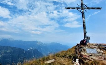
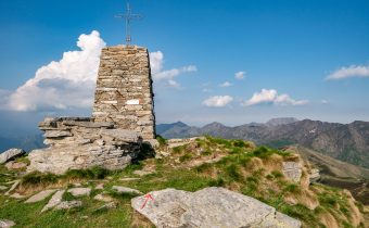
This is the normal and most popular way up to Punta Sivella, passing through the beautiful and vast Alpe Argnaccia.The first section of the trail is part of the Art Trails, the “Campertogno-Cangello Art Trail,” which touches on the fourteen niches illustrating the life of the Virgin Mary, the two churches of Madonna degli Angeli and Callone, the Argnaccia plateau and the Cangello Alp. Punta Sivella, which rises between Valle Artogna and Val Sassolenda thanks to its location, offers a splendid view of the surrounding landscape. On the peak every year in August, Holy Mass is celebrated.
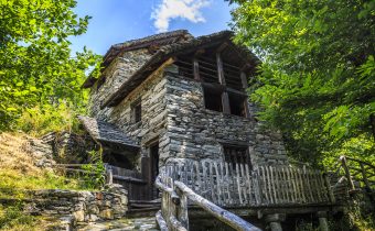
The route starts from Tetti, a hamlet of Campertogno. After crossing the village, you reach near the cemetery where the carriage road ends (and where there are some car parking spaces). You then take the mule track lined with low walls and meet the first of the small chapels on the Art Trail. The mule track begins to climb, crosses a stream and continues to where the oratory of Madonna degli Angeli stands. The trail enters the woods, crosses the stream again on wide stones and continues on a beautiful mule track always lined with the little chapels until it reaches Madonna del Callone (1092m).
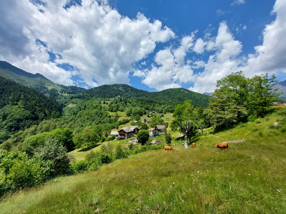
It then crosses a beech forest and shortly afterwards reaches the splendid shelf of Alpe Argnaccia, (1183m).
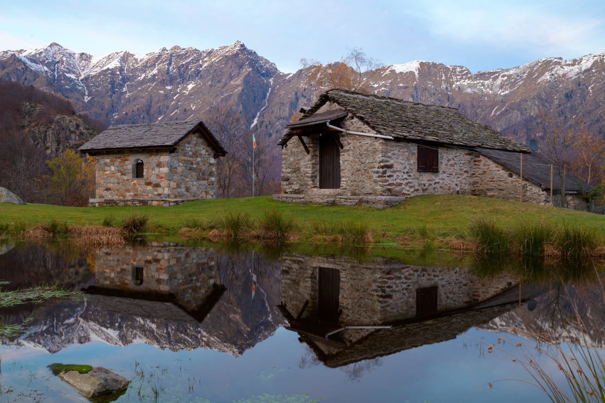
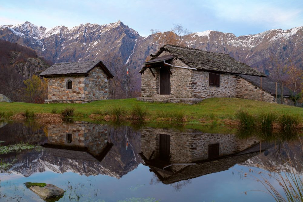
The Alpe features a small lake on which are reflected characteristic mountain cottages, the alpegggio and a small chapel. The path to the left leads to the alpine huts
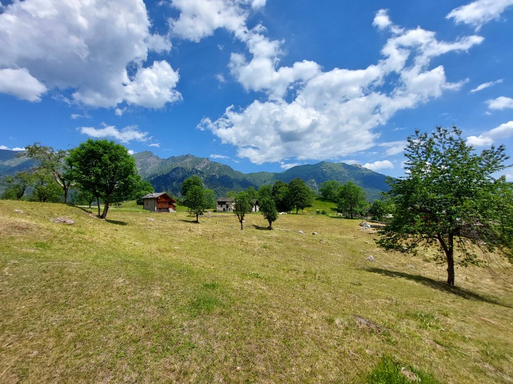
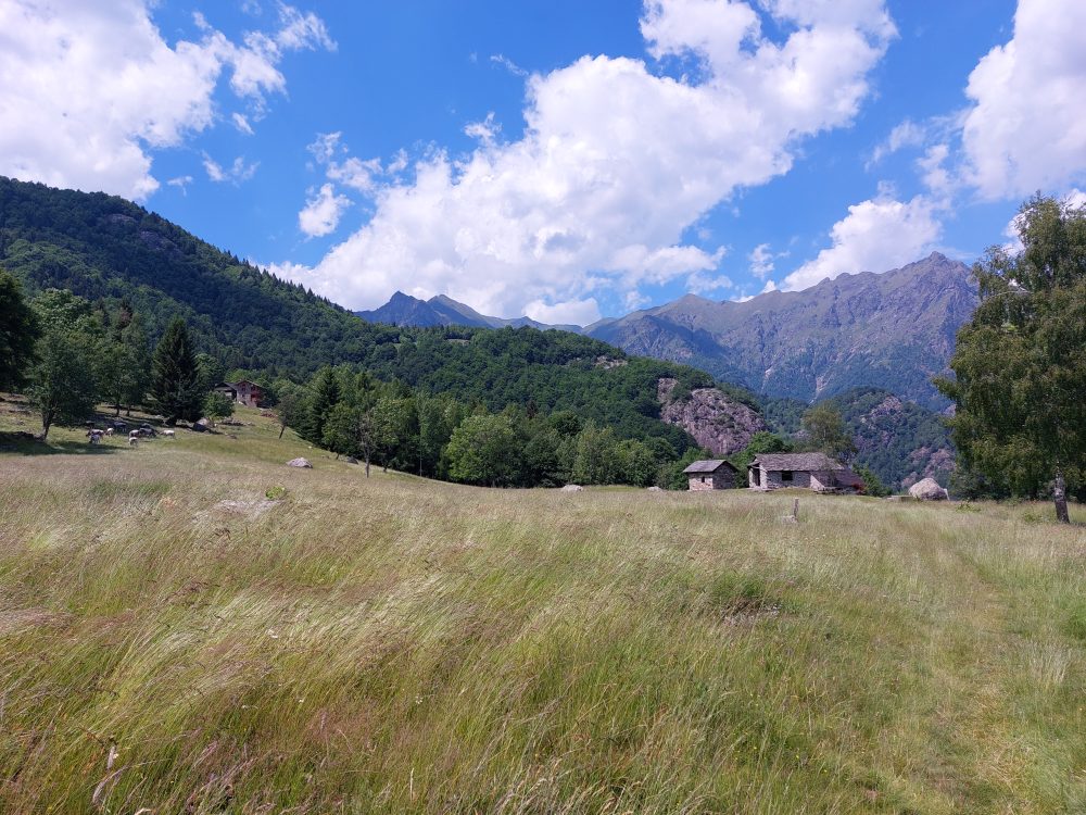
Our route points west, flanked by low walls, through characteristic cottages surrounded by meadows, ash and conifer groves
We approach Alpe Cima (1260m), leaving the route leading to Becco della Guardia on the left, and shortly afterwards reach Alpe Cangello (1364m) where there are some huts, a fountain and a old little church. Turn left and enter Vallone Massero, touching Alpe Cascine. You climb into the pasture of Alpe Campo dei Frei (1477m) and enter the fir and larch forest before reaching the Sella (1583m). The route follows the southern flank until it reaches Alpe Vasnera (1743m). From this alpine pasture, still frequented by shepherds, the route to Vasnera Pass begins. Instead, the trail continues uphill, which becomes steeper, near the Fontanone shelf. Hovering on the opposite slope some large rocks, you reach Punta Sivella or Ciciozza (2523m). A small chapel, dear to the citizens of Campertogno, was built on the summit in 1942, from which the cross rises.
The peak can also be reached by route 274a coming from Alpe Campo in Valle Artogna.
Other routes
recommended
Valsesia has a lot to offer to hiking enthusiasts
Suggestive trails surrounded by nature that offer breathtaking views: be surprised by the beautiful mountains of Valsesia!
how to get there
info and contacts
C.A.I. – Club Alpino Italiano di Varallo Sesia
Rimasco – Alpe Campo
Route / Trekking
Hikes
trail n. 370 Rimasco – Alpe Pian della Ratta – Alpe Campo – Siunal
Difficulty: medium – EASY
average duration: 1 – 2 hours
departure altitude: 906 mt
arrival altitude: 1492 mt
altitude difference: 586 mt
Route description
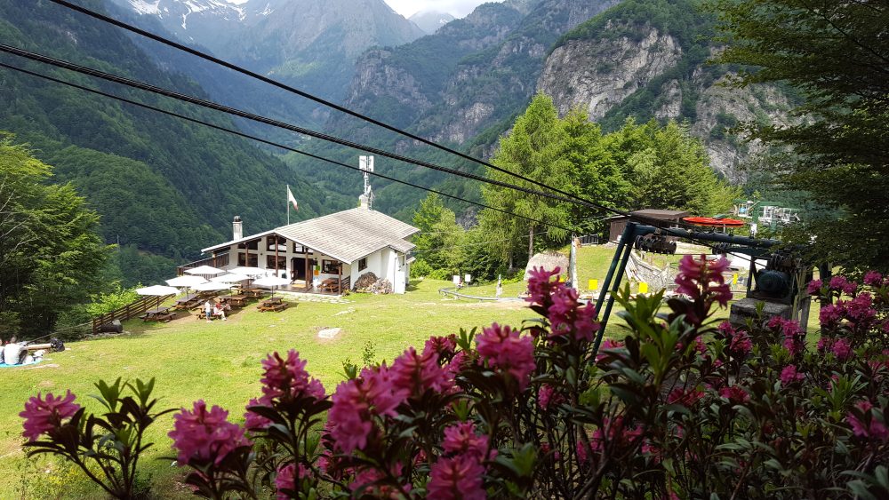
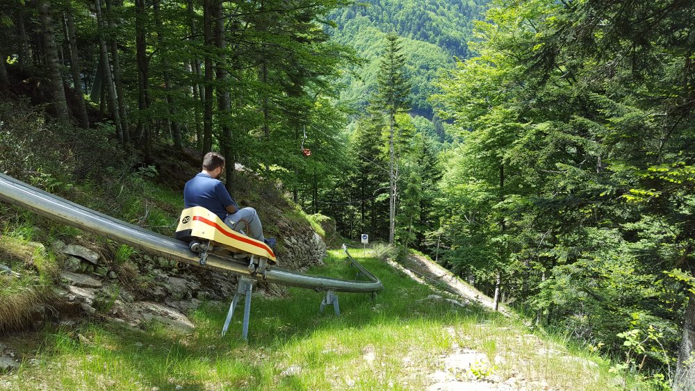
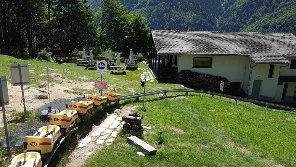
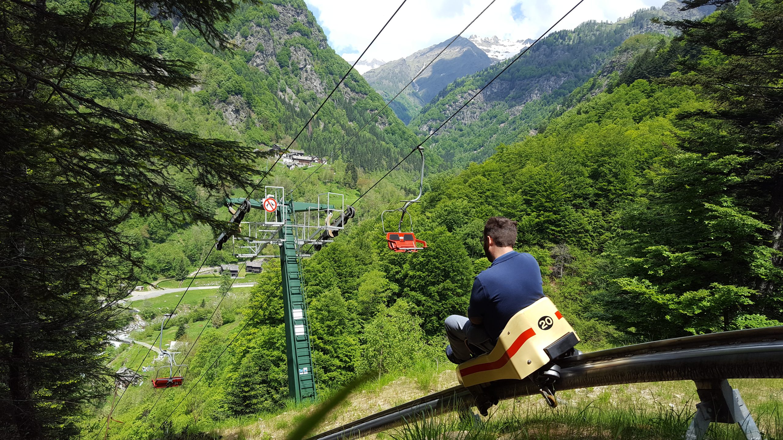
Leaving the village of Rimasco, just after the church of Santa Croce, cross the Egua stream and arrive at Sponde del Lago. Proceed as you enter a deciduous forest and in about 45 minutes you reach Pian della Ratta, 1140m, the arrival station of the chairlift and starting point of the fun summer bobsleigh, with the Alpe Campo Refuge.
Try the adrenaline-pumping fun bobsled on rails, ideal for a fun-filled day!
You cross the shelf keeping to the left and then climb up the edge of the Vecchia meadow to enter the woods and ascend it to come out in the vicinity of the Alpe Pianali hut, 1360m. You keep to the edge of the forest and shortly afterwards return, turning left, thus arriving at Alpe Campo, 1390m.
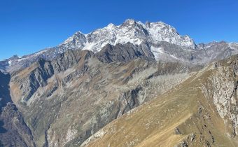
Wanting to continue the itinerary beyond the alp, turn right up the slope and reach a saddle on the slopes of Cima Castello. Following the ridge to the right to the summit of the hump, at Siunal, at an altitude of 1492m, you have a magnificent view of Monte Rosa, Tagliaferro and the entire Sermenza Valley.
Other routes
recommended
Valsesia has a lot to offer to hiking enthusiasts
Suggestive trails surrounded by nature that offer breathtaking views: be surprised by the beautiful mountains of Valsesia!